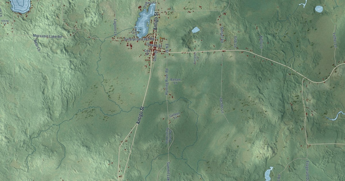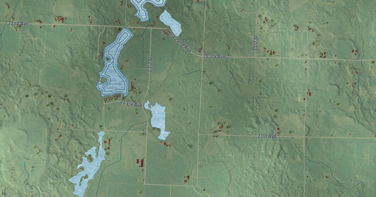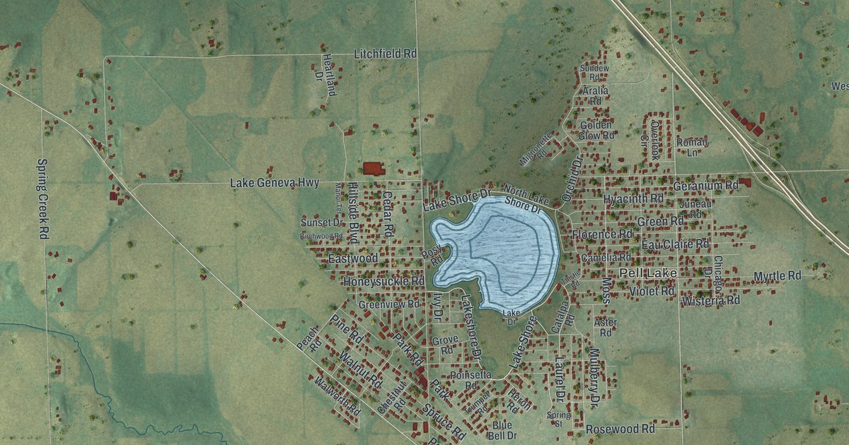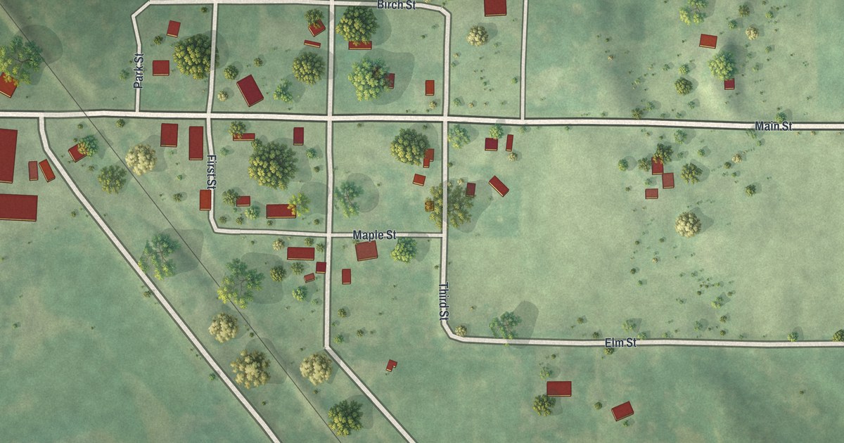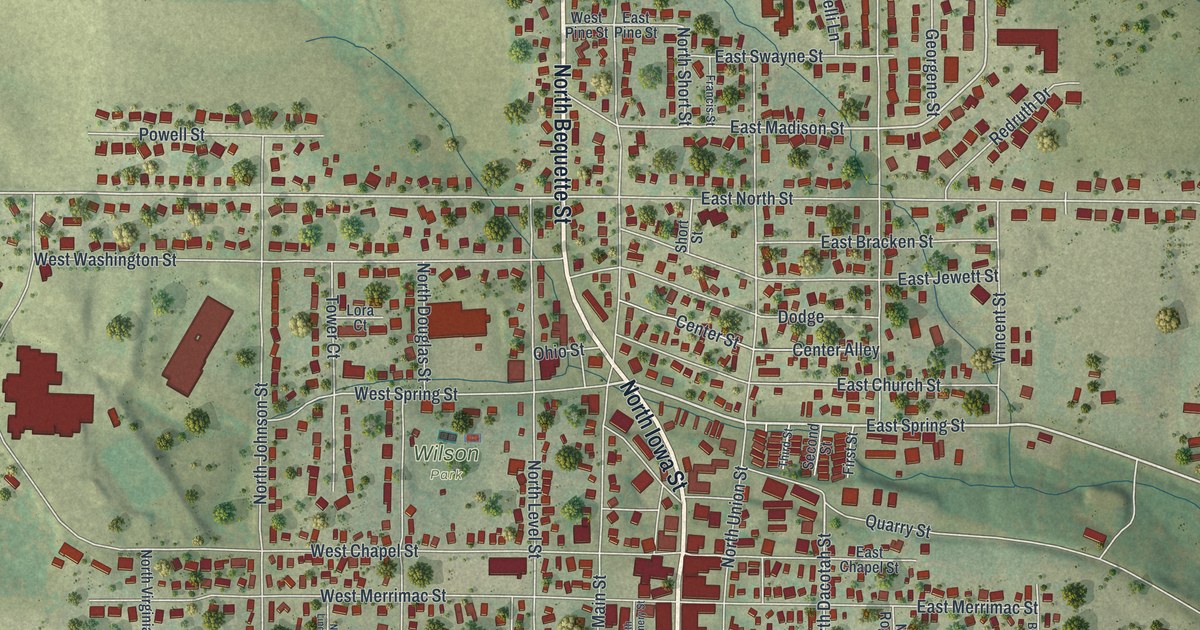
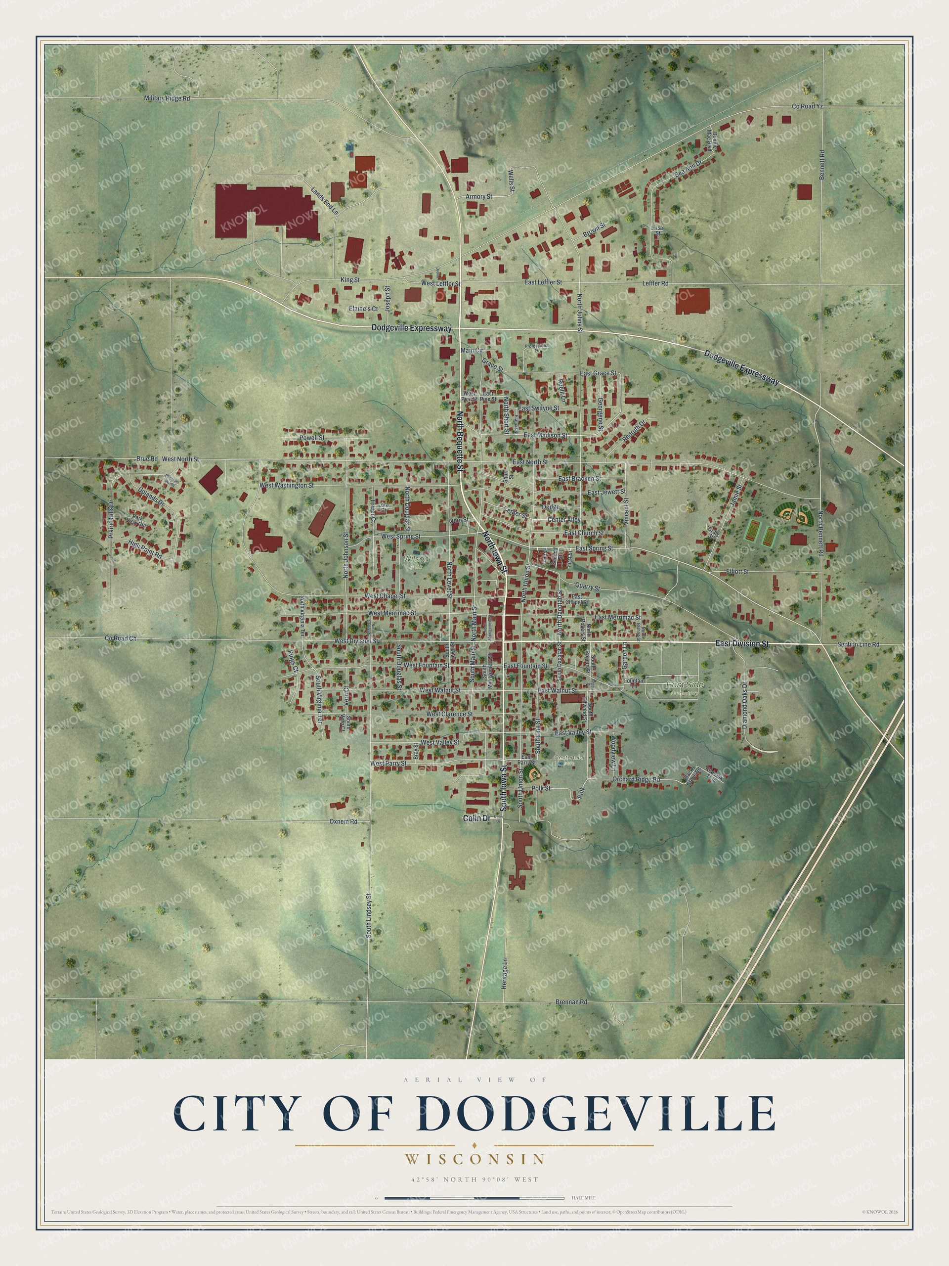
This beautifully detailed map of Dodgeville, Wisconsin was created in 2026 using aerial imagery combined with modern topographical, census, street and landmark data. It's a modern aerial view of Dodgeville in Iowa County, Wisconsin, that combines modern data with a vintage aesthetic. The roads feature printed names, and if you look closely you can find your exact house accurately shown in its correct location.
Explore an aerial view of Dodgeville, Wisconsin
On this map you'll find Centennial Park, East Side Cemetery, Wilson Park, East Division Street, North Bequette Street, North Iowa Street, Dodgeville Expressway, South Iowa Street, Colin Drive, East Spring Street, West Division Street, Diamond Oaks Drive, and more. Each red shape is a building, so zoom in on the preview and look for yours.
Dodgeville is a city in Iowa County. The Census Bureau counted 4,984 people here in 2020. The map prints the town name in its title panel, with the coordinates below it.
Take a closer look at the Dodgeville map
Names on this map
These names are printed on this map.
Places: Centennial Park, East Side Cemetery and Wilson Park.
Streets and roads: East Division Street, North Bequette Street, North Iowa Street, Dodgeville Expressway, South Iowa Street, Colin Drive, East Spring Street, West Division Street, Diamond Oaks Drive, Orchard Ridge Road, Polk, East Madison Street.
More street names, A to Z
Armory Street, Bea Ann Drive, Bennett Road, Blacks Grove Road, Bonnie Mae Boulevard, Bray Street, Brennan Road, Brown Street, Brue Road, Center Alley, Center Street, County Road Ch, County Road Yz, Craig Street, Dodge, Dydno, East Bracken Street, East Chapel Street, East Church Street, East Fountain Street, East Grace Street, East Jewett Street, East Leffler Street, East Merrimac Street, East North Street, East Parry Street, East Pine Street, East Swayne Street, East Valley Street, East Walnut Street, Elaine's Court, Elliott Street, First Street, Fountain Lane, Francis Street, Garden Lane, Georgene Street, Grace Street, Heritage Lane, High Point Road, Jamie Street, Joseph Street, Kings Court, King Street, Lands End Lane, Leffler Road, Lisa Street, Lora Court, Main Circle, Military Ridge Road, North Bennett Road, North Bishop Street, North Dacotah Street, North Douglas Street, North Johnson Street, North Johns Street, North Level Street, North Lindsey Street, North Main Street, North Montgomery Street, North Rogers Street, North Short Street, North Union Street, North Virginia Terrace, Ohio Street, Oxnem Road, Park View Gln, Pheasant Pointe, Polk Street, Powell Street, Prairie Hills Drive, Professional Drive, Quarry Street, Red Oak Trail, Redruth Drive, Roelli Lane, Rogers Street, Second Street, Section Line Road, Short Street, South Dacotah Street, South Douglas Street, South Ellwood Street, South Level Street, South Lindsey Street, South Linn Street, South Main Street, South Montgomery Street, South Rogers Street, South Union Street, South Vern Court, South Virginia Terrace, Third Street, Tower Court, Uplands Drive, Vern Court, Vincent Street, Wells Street, West Chapel Street, West Clarence Street, West Fountain Street, West Leffler Street, West Merrimac Street, West North Street, West Parry Street, West Pine Street, West Spring Street, West Valley Street, West Walnut Street, West Washington Street, Woodview Lane.
Created by KNOWOL in 2026. The buildings are small red shapes, the roads carry their printed names, and shaded relief shows the shape of the land. The title panel reads "AERIAL VIEW OF CITY OF DODGEVILLE, WISCONSIN" with 42°58' NORTH 90°08' WEST.
It looks right in a kitchen, an office or a den, and it's a gift for anyone who grew up in Dodgeville or moved away. Open the preview and find your street. See sizes and frames for the Dodgeville map.