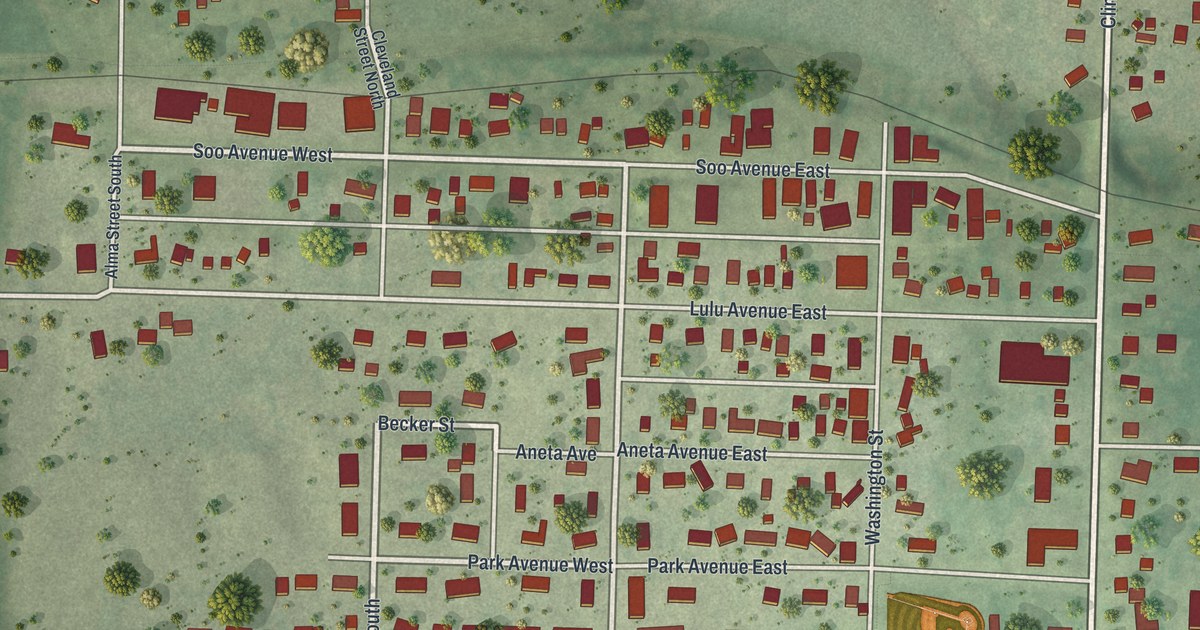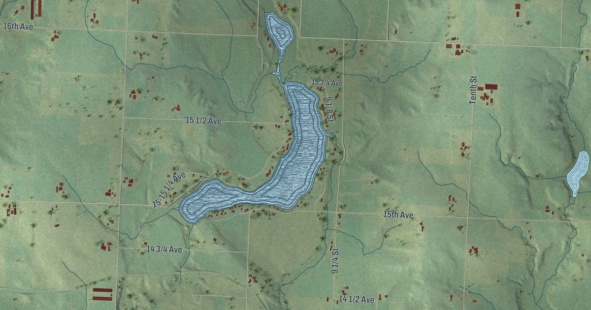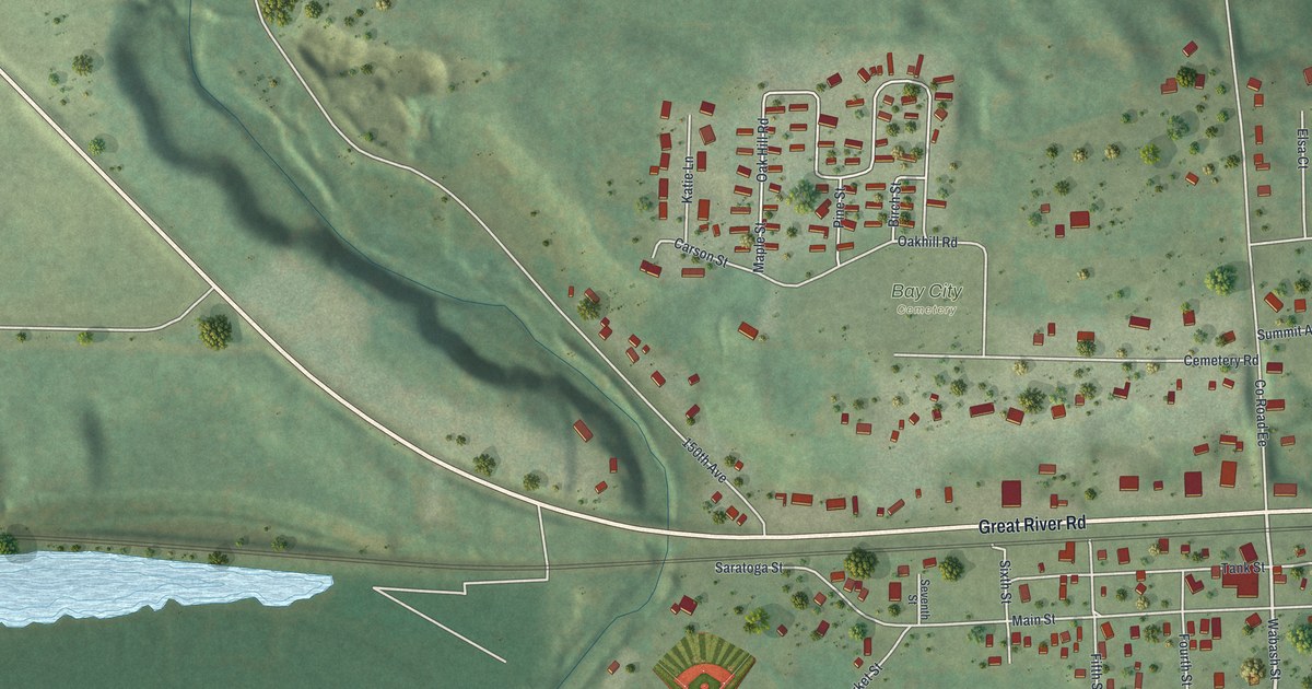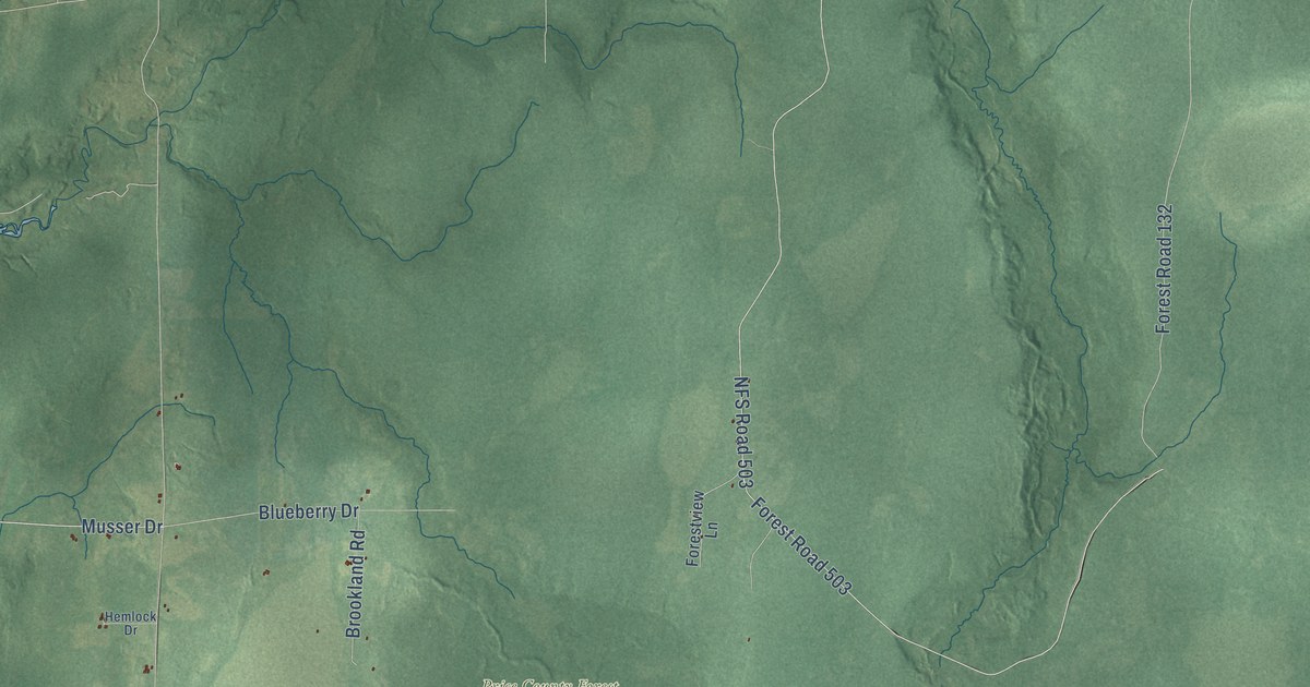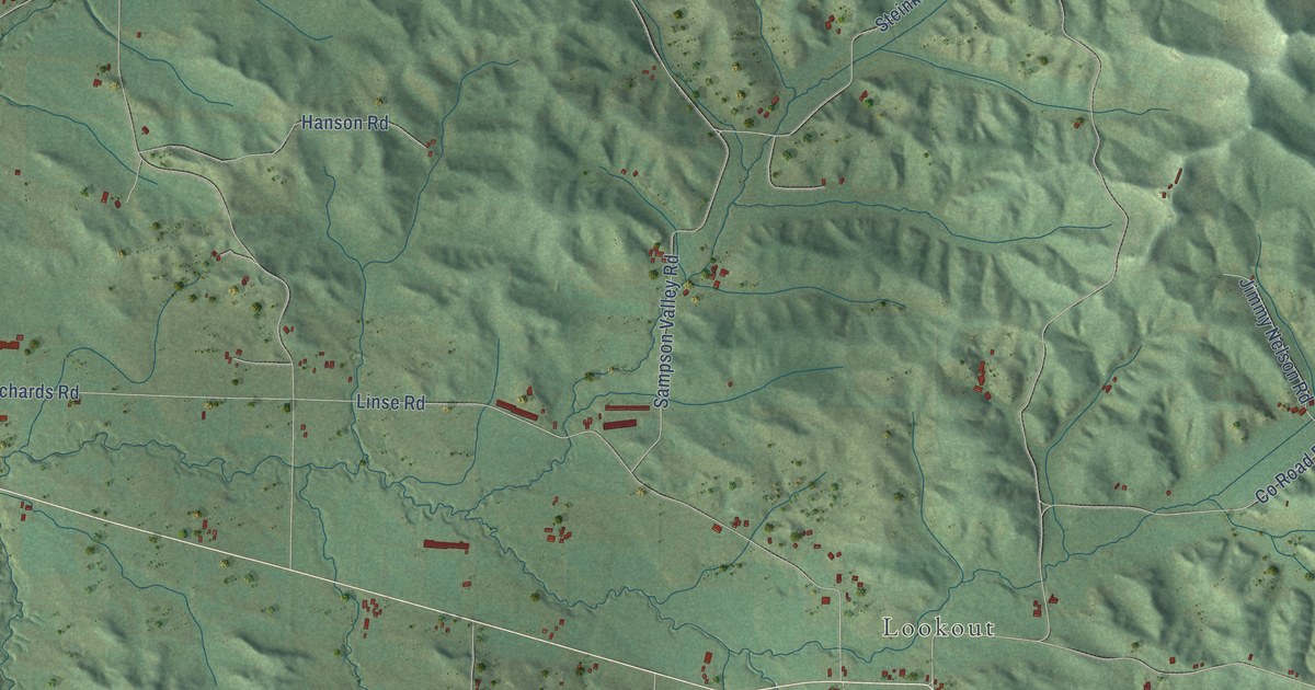
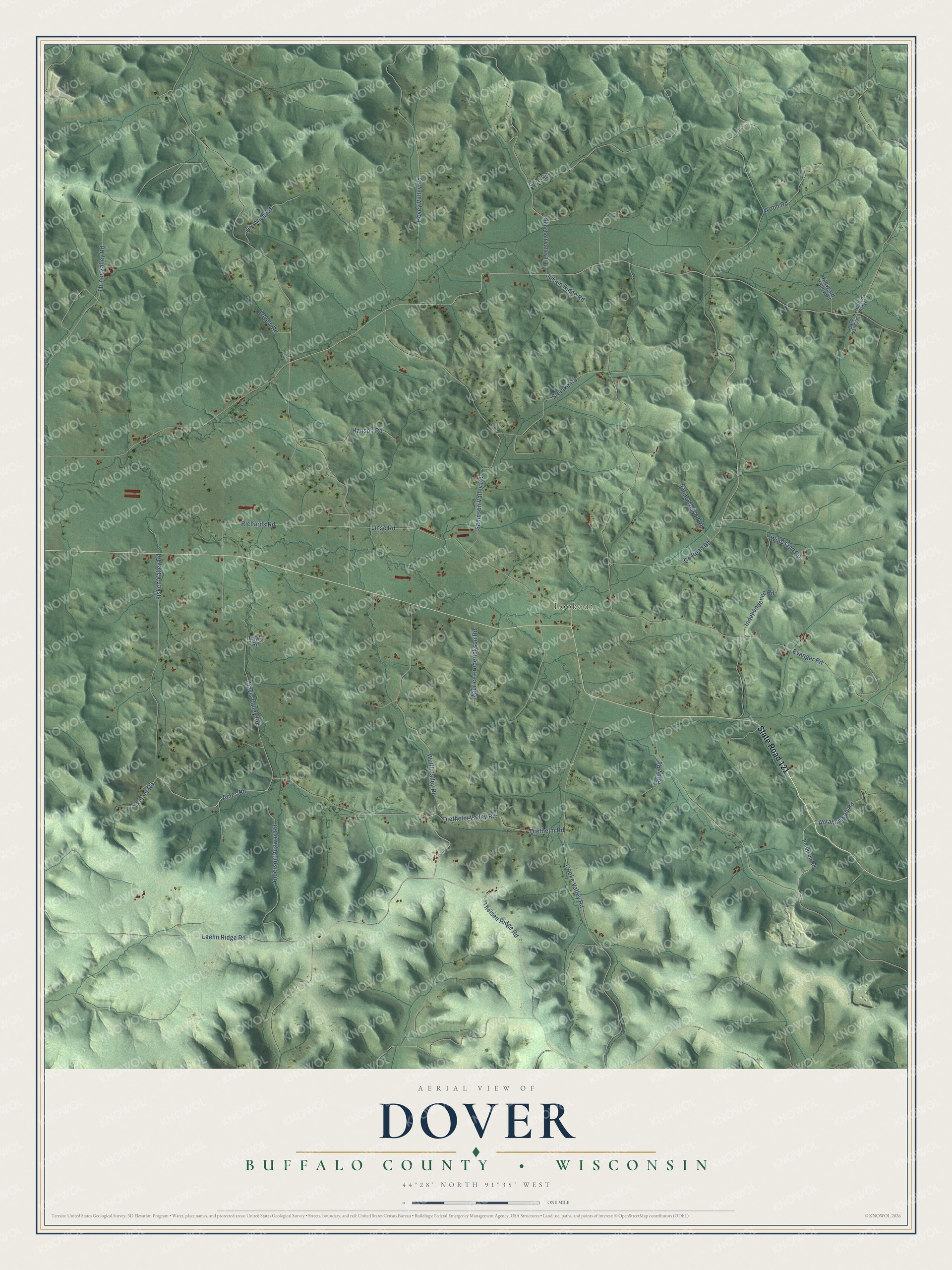
This beautifully detailed map of Dover, Wisconsin was created in 2026 using aerial imagery combined with modern topographical, census, street and landmark data. It's a modern aerial view of Dover in Buffalo County, Wisconsin, that combines modern data with a vintage aesthetic. The roads feature printed names, and if you look closely you can find your exact house accurately shown in its correct location.
Explore an aerial view of Dover, Wisconsin
On this map you'll find Lookout, State Road 121, Abrahamson Road, Anderson Dugway Road, Ames Road, Co Road Bb, Davis Valley Road, Julson Ridge Road, Sampson Valley Road, Laehn Ridge Road, Evanger Road, Cooke Valley Road, and more. Each red shape is a building, so zoom in on the preview and look for yours.
Every town has a first chapter, and Dover is no exception. The Internet Archive puts it this way: "My first
acquaintance with the surface of the town dates back to 1866-67,
when I explored with the compass the eastern valleys."
Dover is a town in Buffalo County. The Census Bureau counted 515 people here in 2020.
Take a closer look at the Dover map
Names on this map
These names are printed on this map.
Places: Lookout.
Streets and roads: State Road 121, Abrahamson Road, Anderson Dugway Road, Ames Road, County Road Bb, Davis Valley Road, Julson Ridge Road, Sampson Valley Road, Laehn Ridge Road, Evanger Road, Cooke Valley Road, Wulff Valley Road.
More street names, A to Z
Bauer Valley Road, Cole Road, Diethelm Road, Diethelm Valley Road, Fetzer Road, Fisken Valley Road, Hanson Road, Hayes Road, Hovey Valley Road, Independence Road, Jimmy Nelson Road, Klevgard Valley Road, Linse Road, Lovely Road, Maurice Frederickson Road, Norden Ridge, Ole Aase Road, Peterson Road, Richards Road, Rongholt Valley Road, Rudy Road, Steinke Road, Theisen Ridge Road, Turner Valley Road, Windsand Road, Wood Road.
Created by KNOWOL in 2026. The buildings are small red shapes, the roads carry their printed names, and shaded relief shows the shape of the land. The title panel reads "AERIAL VIEW OF DOVER, BUFFALO COUNTY • WISCONSIN" with 44°28' NORTH 91°35' WEST.
Hang it in the hallway, the office or the cabin, or give it to someone who left Dover and still calls it home. Open the preview and look for a street you know. See sizes and frames for the Dover, Buffalo County map.