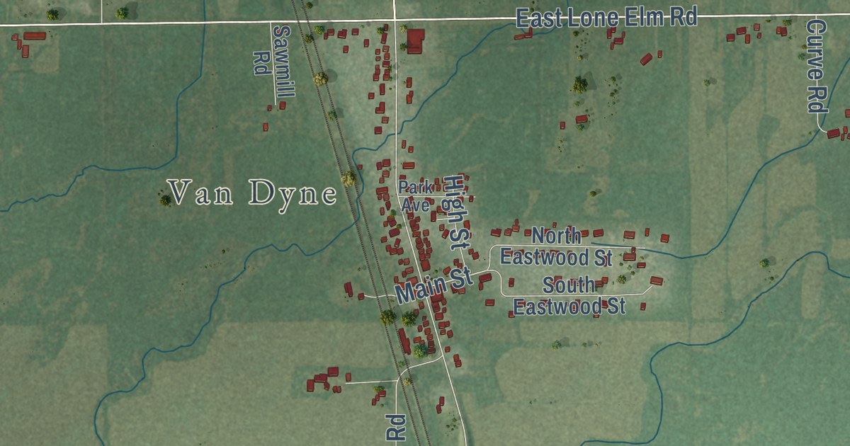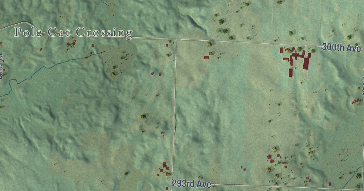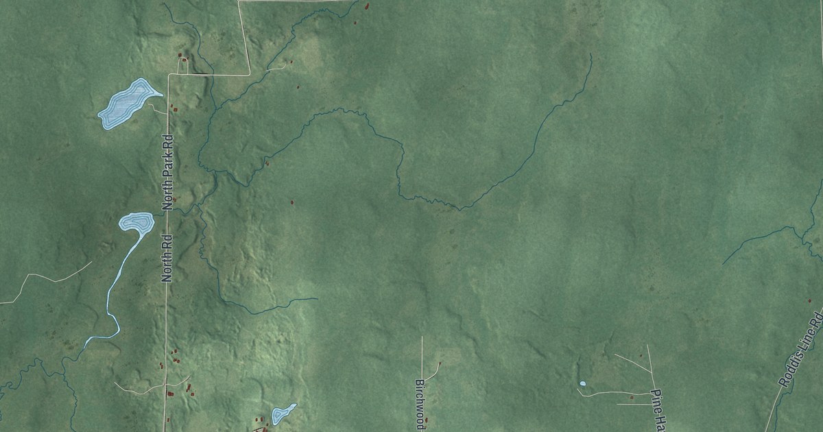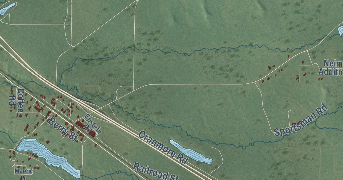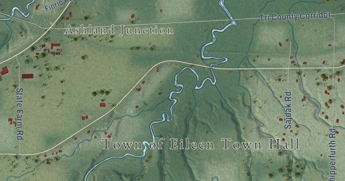
This beautifully detailed map of Eileen, Wisconsin was created in 2026 using aerial imagery combined with modern topographical, census, street and landmark data. It’s a one-of-a-kind view of Eileen that combines accurate data with a vintage aesthetic. The map shows every building in its true location, many of the roads carry their names, and the shaded topographic relief shows the shape of the land.
Explore an aerial view of Eileen, Wisconsin
On the map you’ll find Town of Eileen Town Hall, Ashland Junction, South Shore Lake Superior Fish and Wildlife Area, Ashland Bayfield Co Line, Tri County Corridor, and Tri County Corrdor, along with Ashland Bayfield Road, County Line Road, South County Line Road, North Torkko Road, Highland Road, Colby Road, and more. If you look closely you can even find your house accurately drawn in its correct location. Zoom in on the preview to look for yours.
Did you know this piece of Eileen, Wisconsin history?
From A History of the Origin of the Place Names: "Eileen, Bayfield County, Wisconsin, was named for Miss Eileen Thompkins of Ashland, Wisconsin."
Take a closer look at the Eileen map
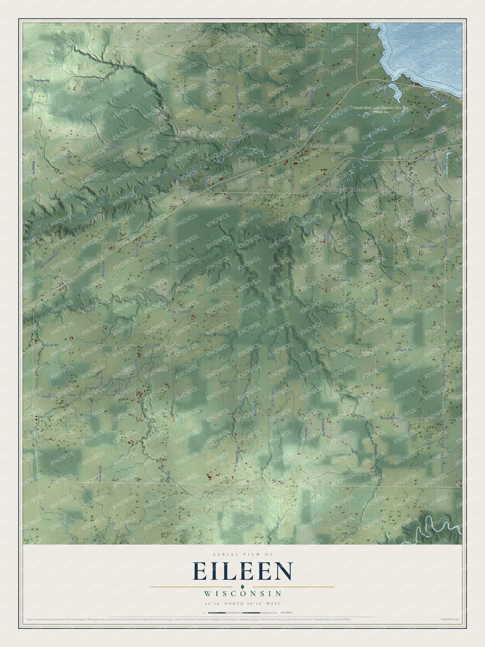
Street and place names on the Eileen, Wisconsin map
These names are printed on the map of Eileen, Wisconsin.
Places: Town of Eileen Town Hall, Ashland Junction and South Shore Lake Superior Fish and Wildlife Area.
Streets and roads: Ashland Bayfield County Line, Ashland Bayfield Road, County Line Road, South County Line Road, Tri County Corridor, Tri County Corrdor, North Torkko Road, Highland Road, Colby Road, Woodland Road, Curry Road, Hagstrom Road.
More street names, A to Z
Andy's Lane, Art Hanson Lane, Bailen Road, Budiash Road, Carlson Road, Chapek Road, Fiorio Road, Fischer Road, Franzel Road, Gilles Road, Gordys Lane, Gun Club Road, Heglund Road, Hillsdale Road, Hnath Road, Jack's Road, Kabasa Road, Kane Road, Karaba Road, Kozenski Road, Lindblad Road, Mesik Road, Nemec Road, North Verners Road, Old US Highway 2, Podlesny Road, Puyleart Road, Range Road, Raspotnik Road, Sajdak Road, Setzke Road, Sickich Road, South Torkko Road, State Farm Road, Sutaric Road, Terwilliger Road, Then Road, Timber Creek Drive, Torkko Road, Vamosh Road, Verners Road, Walczak Road, Whipperfurth Road, Yachinich Road, Zepczyk Road.
See the Eileen, Wisconsin map on a wall
The Eileen map as an 18 x 24 inch print in a black frame.

This beautifully detailed map of Eileen makes an attractive addition to your office, library, or den, and it can even be used to teach children the geography and history of the area. It also makes a great gift for anyone who grew up in Eileen or moved away. When you’re done exploring, click here to get your copy of the Eileen map.