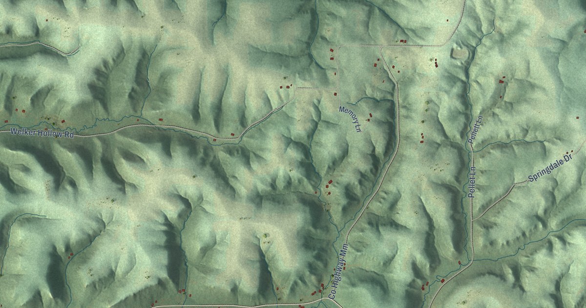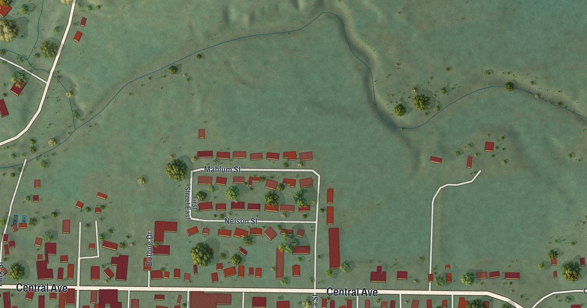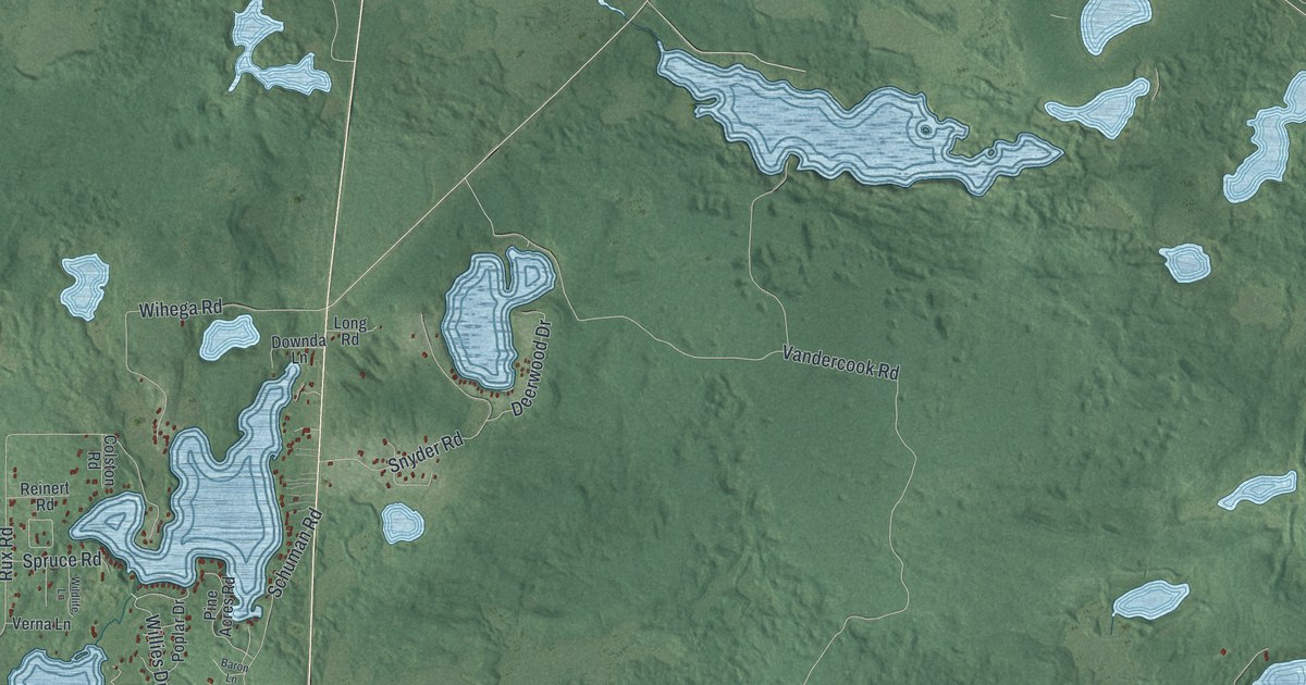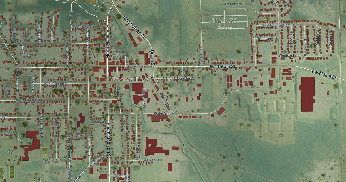
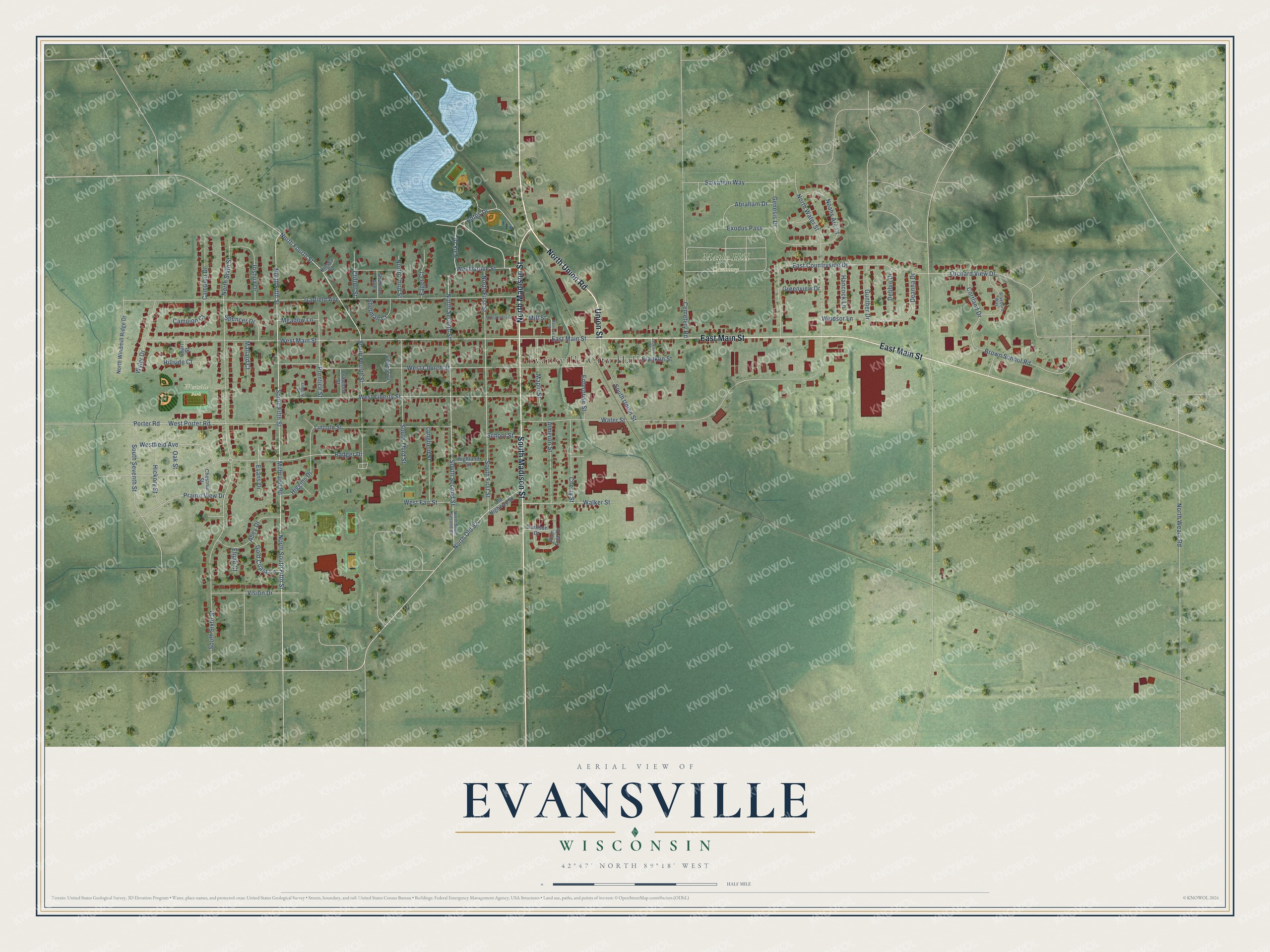
This beautifully detailed map of Evansville, Wisconsin was created in 2026 using aerial imagery combined with modern topographical, census, street and landmark data. It's a modern aerial view of Evansville in Rock County, Wisconsin, that combines modern data with a vintage aesthetic. The roads feature printed names, and if you look closely you can find your exact house accurately shown in its correct location.
Explore an aerial view of Evansville, Wisconsin
On this map you'll find Evansville City Hall, Maple Hill Cemetery, Westside Park, North Union Road, Union Street, North Madison Street, East Main Street, South Madison Street, Antes Drive, Park Drive, North Second Street, Milbrand Road, and more. Each red shape is a building, so zoom in on the preview and look for yours.
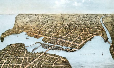
Evansville has a story worth telling. The Internet Archive puts it this way: "The town of Union, of which the village of Evansville is at the present time the principal
market town, was first settled in the fall of 1839, by Charles McMillan, Samuel Lewis, Stephen
Jones, Erastus Quivey, John Rhinehart and Rev."
Evansville is a city in Rock County. The Census Bureau counted 5,703 people here in 2020.
Take a closer look at the Evansville map
Names on this map
These names are printed on this map.
Places: Evansville City Hall, Maple Hill Cemetery and Westside Park.
Streets and roads: North Union Road, Union Street, North Madison Street, East Main Street, South Madison Street, Antes Drive, Park Drive, North Second Street, Milbrand Road, North Old 92, South Second Street, South First Street.
More street names, A to Z
Abey Drive, Abraham Drive, Almeron Street, Badger Drive, Braeburn Way, Brown School Road, Campion Court, Campion Drive, Cemetery Road, Cherry Street, Chestnut Street, Clifton Street, College Drive, Cortland Drive, Court Street, Crawford Street, Deanna Drive, Debbie Drive, Eager Court, East Countryside Drive, Elijah Court, Enterprise Street, Evans Drive, Exodus Pass, Franklin Street, Garfield Avenue, Garrison Drive, Genesis Drive, Gold Coast Lane, Greenview Drive, Gunther Drive, Hancock Lane, Hickory Street, Higgins Drive, Highland Street, Hillside Court, Jackson Street, Joshua Drive, Kinsey Court, Liberty Lane, Lincoln Street, Longfield Street, Mallard Court, Maple Street, Meadow Lane, Mill Street, Montgomery Court, Noahs Arc Court, North Fifth Street, North First Street, North Fourth Street, North Sixth Street, North South Fifth Street, North South Second Street, North Third Street, North Water Street, North Weary Road, North Windmill Ridge Drive, Oak Street, Old Highway 92, Orchard View Drive, Plum Tree Drive, Porter Road, Prairie View Drive, Prentice Street, Railroad Street, Salvation Way, School Street, Sherman Avenue, Sherman Court, South Fifth Street, South Fourth Street, South Seventh Street, South Sixth Street, South Third Street, South Union Street, Spencer Drive, Vision Drive, Walker Street, Water Street, West Church Street, West Fair Street, Westfield Avenue, West Grove Street, West Liberty Street, West Main Street, West Porter Road, Windsor Lane, Wyler Drive.
Created by KNOWOL in 2026. The buildings are small red shapes, the roads carry their printed names, and shaded relief shows the shape of the land. The title panel reads "AERIAL VIEW OF EVANSVILLE, WISCONSIN" with 42°47' NORTH 89°18' WEST.
It looks right in a kitchen, an office or a den, and it's a gift for anyone who grew up in Evansville or moved away. Open the preview and find your street. See sizes and frames for the Evansville map.