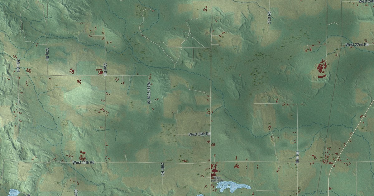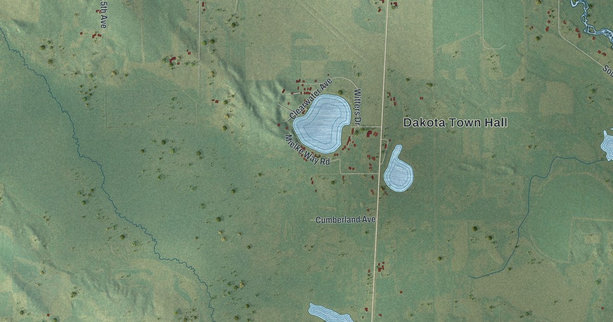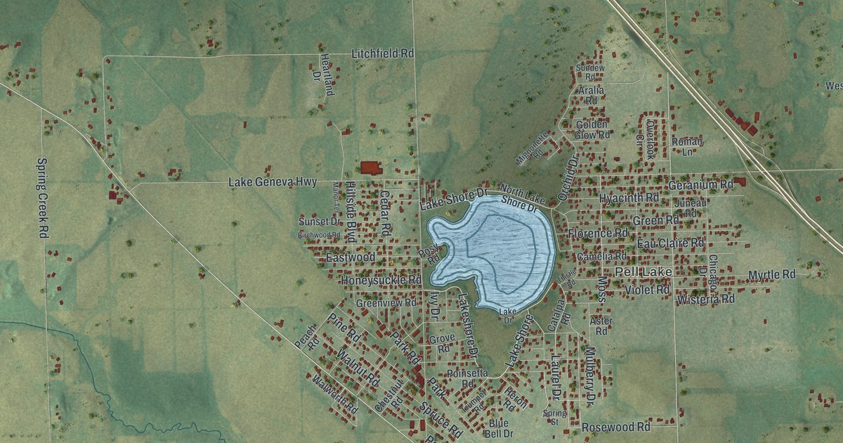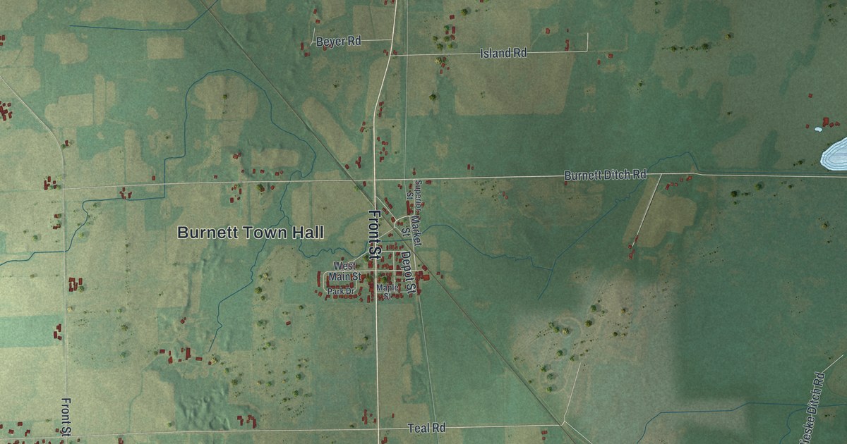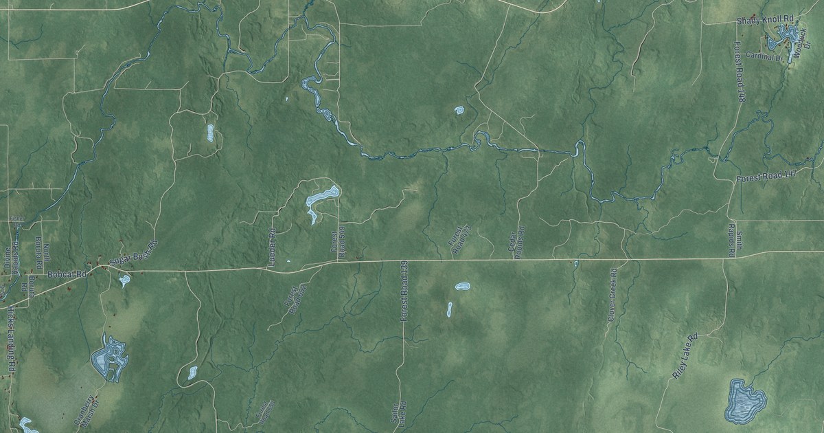
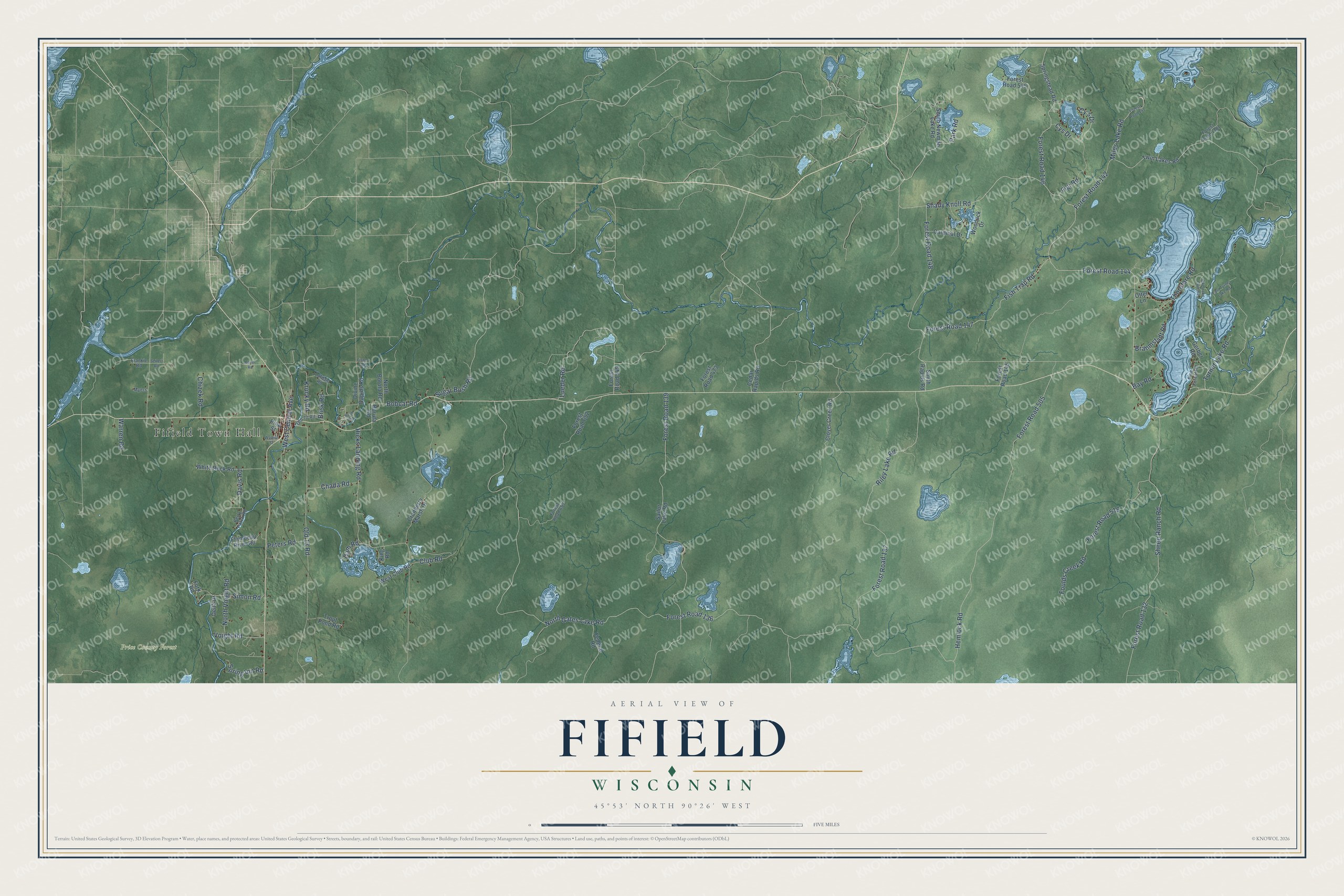
This beautifully detailed map of Fifield, Wisconsin was created in 2026 using aerial imagery combined with modern topographical, census, street and landmark data. It's a modern aerial view of Fifield in Price County, Wisconsin, that combines modern data with a vintage aesthetic. The roads feature printed names, and if you look closely you can find your exact house accurately shown in its correct location.
Explore an aerial view of Fifield, Wisconsin
On this map you'll find Fifield Town Hall, Price County Forest, Forest Road 144, Forest Road 136, North Gates Lake Road, Shady Knoll Road, Old 13 Road, Forest Road 139, Forest Road 505, Hemlock Road, Forest Road 137, Riley Lake Road, and more. Each red shape is a building, so zoom in on the preview and look for yours.
Fifield is a town in Price County. The Census Bureau counted 905 people here in 2020. The map prints the town name in its title panel, with the coordinates below it.
Take a closer look at the Fifield map
Names on this map
These names are printed on this map.
Places: Fifield Town Hall and Price County Forest.
Streets and roads: Forest Road 144, Forest Road 136, North Gates Lake Road, Shady Knoll Road, Old 13 Road, Forest Road 139, Forest Road 505, Hemlock Road, Forest Road 137, Riley Lake Road, Hicks Landing Road, Forest Road 132.
More street names, A to Z
Bay Road, Berry Patch Road, Bobcat Road, Boruta Road, Boyer Road, Brahmstadt Road, Brisk Road, Bush Road, Cardinal Drive, Cedar Rapids Road, Chada Road, Chizek Road, Clover Creek Road, Club Road, Cranberry Marsh Drive, Cy's Drive, Cys Drive, Dam Road, Davis Road, Deitz Drive, Divine Rapids Road, East Turner Lake Road, Federal Road, Figi Road, Fisher Road, Fish Trap Road, Flambeau River Road, Forest Road 141, Forest Road 142, Forest Road 145, Forest Road 146, Forest Road 147, Forest Road 148, Forest Road 473, Forest Road 519, Forest Road 545, Forest Road 549, Forest Road 652, Forest Road 653, Forest Road 1181, Fork Road, Foulds Creek Road, Frankie Road, Gerber Road, King Road, Krucky Road, Lofdahl Road, Lueder Road, Miles Lake Road, Myers, North Boruta Road, North Voight Road, Old 70 Road, Otter Lane, Park Road, Peters Road, Pike Lake Club Road, Pine Forest Road, Pine Street, Sailor Lake Road, Seifert Road, Sheep Ranch Road, Simon Road, Smith Rapids Road, South Newman Lake Road, Spring Inn Road, Springstead Road, Sugar Bush Road, Thorofare Road, Trout Pond Road, Turner Lake Road, Twin Lakes Road, Voight Road, Walnut Street, Warren Road, West Central Avenue, West Club Road, White Rock Road, Wooduck Drive.
Created by KNOWOL in 2026. The buildings are small red shapes, the roads carry their printed names, and shaded relief shows the shape of the land. The title panel reads "AERIAL VIEW OF FIFIELD, WISCONSIN" with 45°53' NORTH 90°26' WEST.
It looks right in a kitchen, an office or a den, and it's a gift for anyone who grew up in Fifield or moved away. Open the preview and find your street. See sizes and frames for the Fifield map.