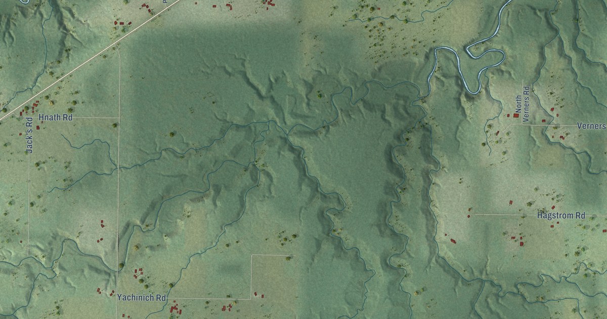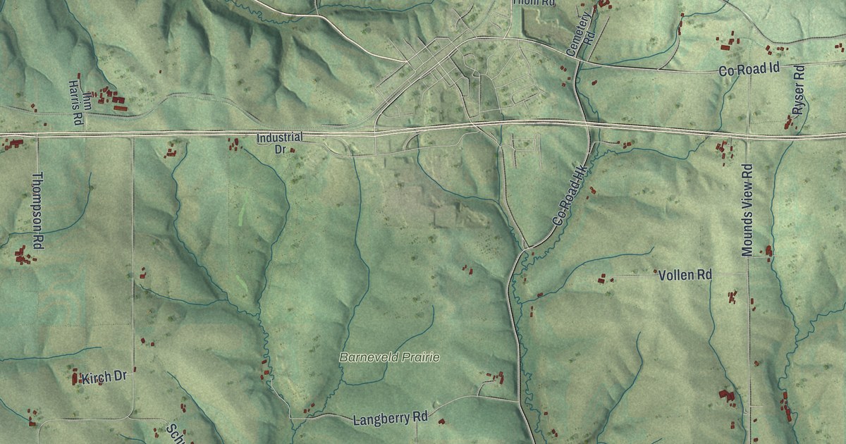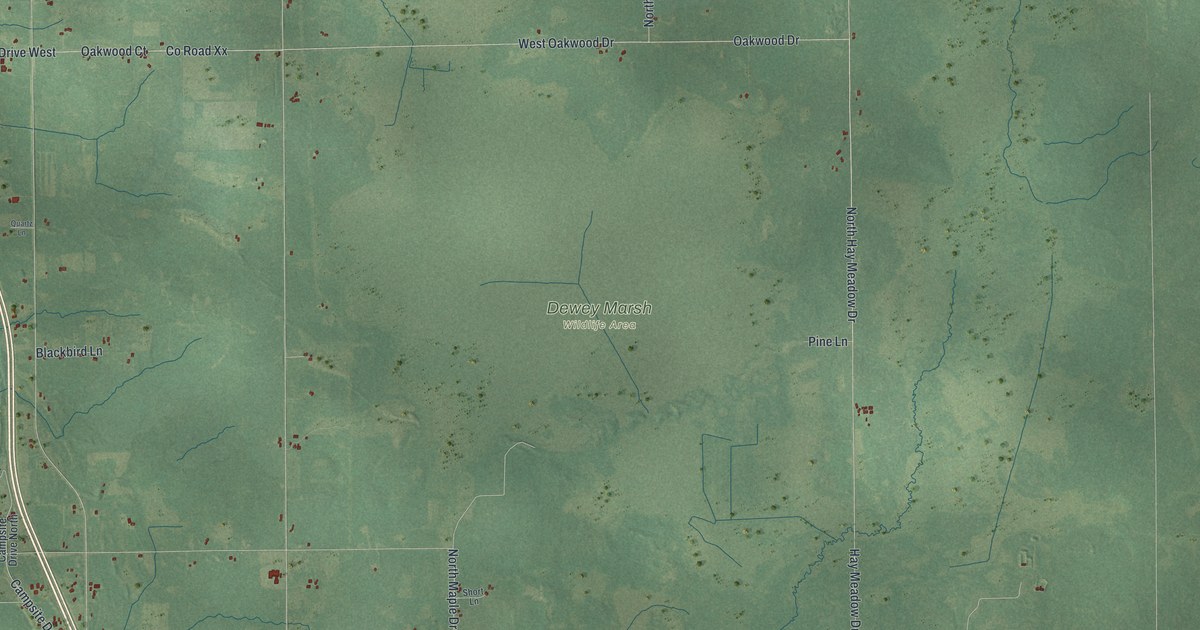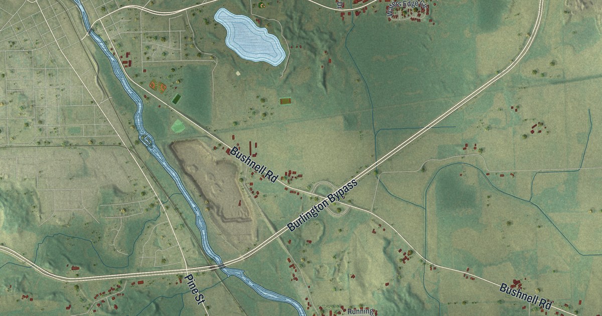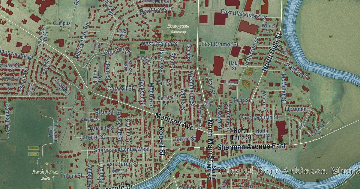
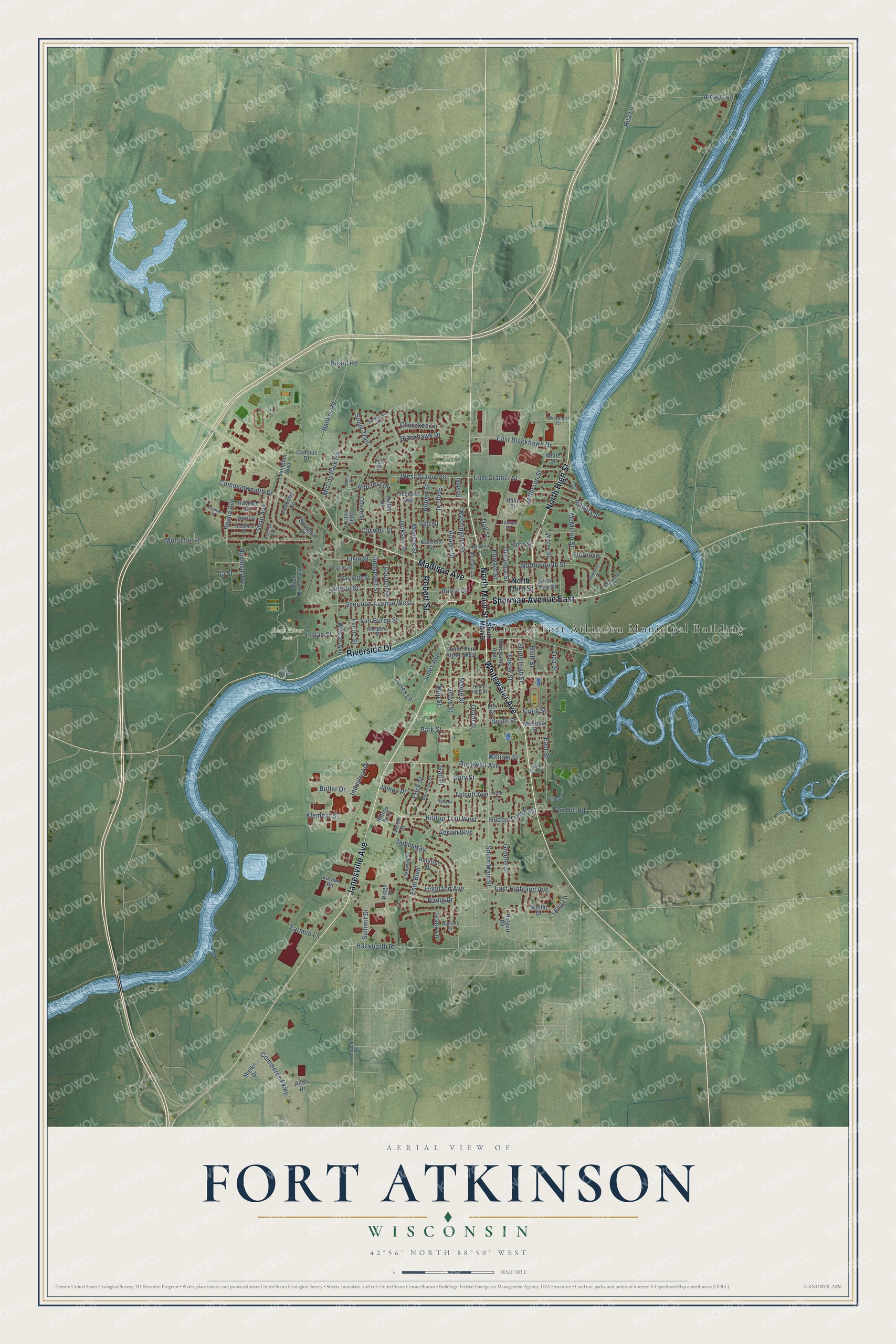
This beautifully detailed map of Fort Atkinson, Wisconsin was created in 2026 using aerial imagery combined with modern topographical, census, street and landmark data. It's a modern aerial view of Fort Atkinson in Jefferson County, Wisconsin, that combines modern data with a vintage aesthetic. The roads feature printed names, and if you look closely you can find your exact house accurately shown in its correct location.
Explore an aerial view of Fort Atkinson, Wisconsin
On this map you'll find City of Fort Atkinson Municipal Building, Evergreen Cemetery, Jones Park, Rock River Park, Janesville Avenue, Sherman Avenue East, Robert Street, Madison Avenue, Whitewater Avenue, Riverside Drive, North High Street, North Main Street, and more. Each red shape is a building, so zoom in on the preview and look for yours.
Fort Atkinson is a city in Jefferson County. The Census Bureau counted 12,579 people here in 2020. The map prints the town name in its title panel, with the coordinates below it.
Take a closer look at the Fort Atkinson map
Names on this map
These names are printed on this map.
Places: City of Fort Atkinson Municipal Building, Evergreen Cemetery, Jones Park and Rock River Park.
Streets and roads: Janesville Avenue, Sherman Avenue East, Robert Street, Madison Avenue, Whitewater Avenue, Riverside Drive, North High Street, North Main Street, Rockwell Avenue, Hilltop Trail West, Hilltop Trail East, South Main Street.
More street names, A to Z
Adams Street, Adrian Boulevard, Airport Road, Allen Drive, Banker Road, Bark River Drive, Barrie Street, Blackhawk Drive, Bluff Street, Boldt Street, Brighton Way, Butler Drive, Campus Drive, Caswell Street, Charles Street, Cherokee Lane, Clarence Street, Cloute Street, Commerce Parkway, Commonwealth Drive, Council Street, Coventry Circle, Craig Street, Dempster Street, Dorian Place, East Blackhawk Drive, East Cramer Street, East Highland Avenue, East Street, Edgewater Road, Edward Street, Elm Street, Elsie Street, Endl Boulevard, Erick Street, Farmco Lane, Florence, Foster Street, Fox Court, Fox Hill Road, Frederick Avenue, Gail Place, Garfield Street, Grant Street, Greene Street, Grove Street, Hackbarth Road, Hake Street, Halcyon Place, Harriette Street, Harrison Street, Heth Street, Highland Avenue, Hillcrest Drive, Hilltop Trail, Hoard Road, Ila Street, Industrial Drive, Jackson Street, James Place, Jamesway, Janette Street, Jefferson Street, Jones Avenue, Jones Lane, Klement Street, Lakeview Drive, Larsen Road, Lena Lane, Lexington Boulevard, Lillian Street, Lorman Street, Lucile Street, Maple Street, McComb Street, McCoy Park Road, McMillen Street, Mechanic Street, Memorial Drive, Merchants Avenue, Mielke Drive, Milo Street, Monroe Street, Montclair Place, Nadig Drive, North Fourth Street, North Third Street, Oak Hill Lane, Oak Street, Park Drive, Park Street, Peterson Street, Poeppel Road, Premier Place, Radhika Street, Radloff Street, Raintree Drive, Ralph Street, Ramesh Avenue, Rangita Street, Raveen Street, Reena Avenue, Ridge Drive, Riggert Road, Rita Lane, Rogers Street, Roosevelt Street, Seminole Drive, Shah Avenue, Sherman Avenue West, Short Street, Sioux Trail, South Fifth Street, South High Street, South Street, South Third Street West, Spry Street, Stacy Lane, Stratford Court, Summit Drive, Taft Street, Talcott Avenue, Talcott Court, Talcott Street, Van Buren Street, Washington Street, West Cramer Street, White Street, Whitetail Drive, Wilcox Street, William Street, Wilson Avenue, Wollet Drive, Woodland Drive, Zaffke Street, Zida Street.
Created by KNOWOL in 2026. The buildings are small red shapes, the roads carry their printed names, and shaded relief shows the shape of the land. The title panel reads "AERIAL VIEW OF FORT ATKINSON, WISCONSIN" with 42°56' NORTH 88°50' WEST.
Hang it in the hallway, the office or the cabin, or give it to someone who left Fort Atkinson and still calls it home. Open the preview and look for a street you know. See sizes and frames for the Fort Atkinson map.