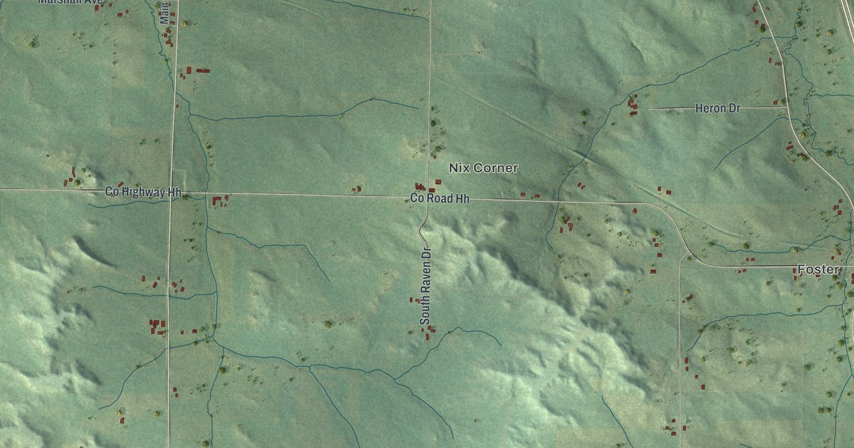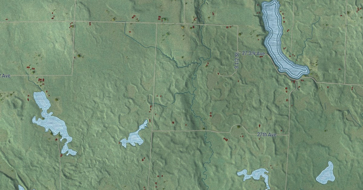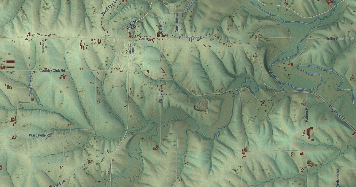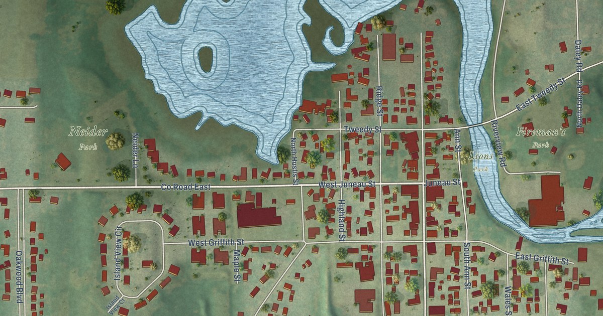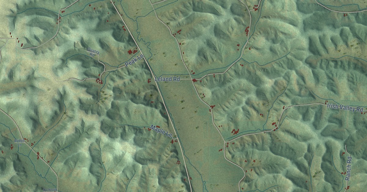
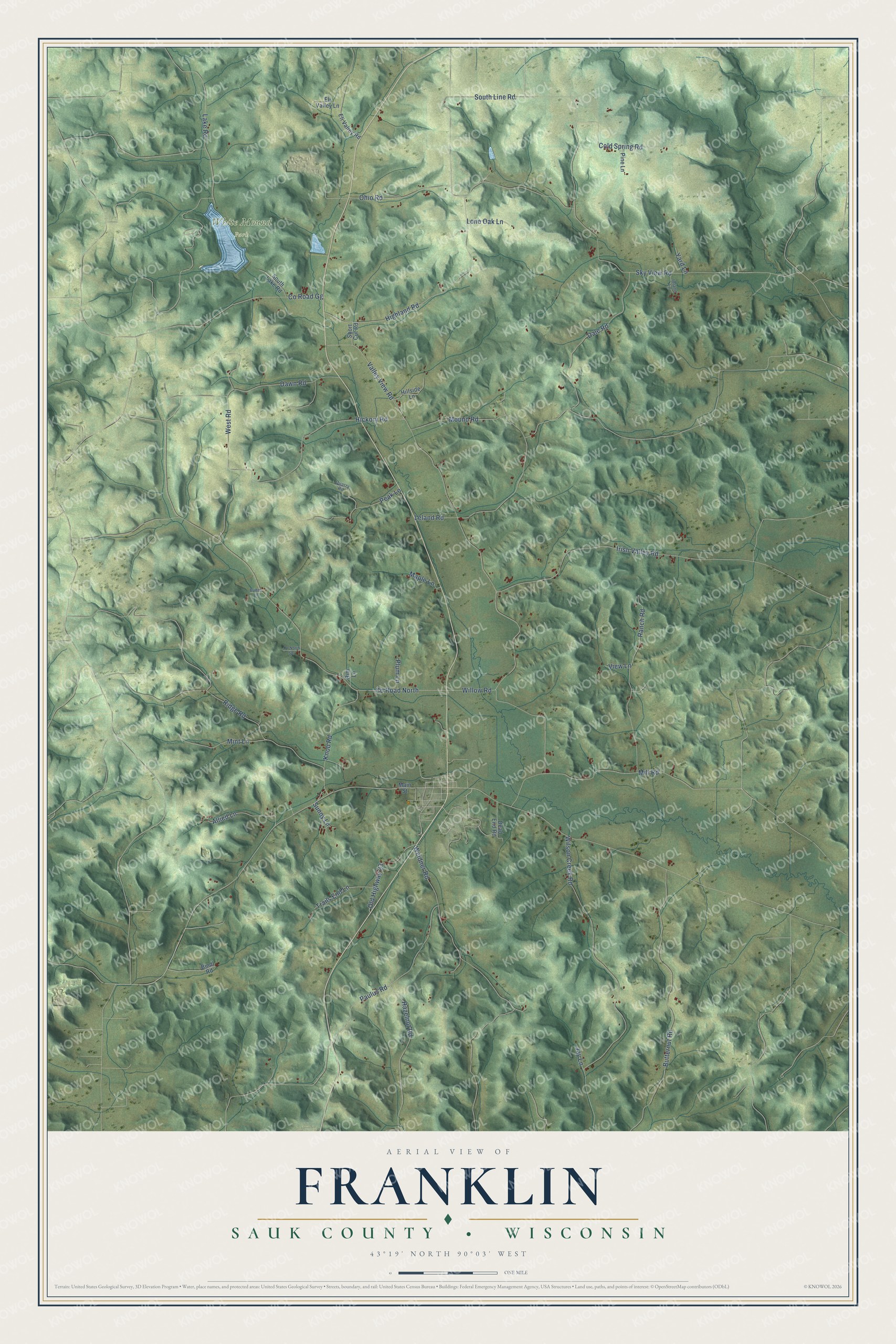
This beautifully detailed map of Franklin, Wisconsin was created in 2026 using aerial imagery combined with modern topographical, census, street and landmark data. It's a modern aerial view of Franklin in Sauk County, Wisconsin, that combines modern data with a vintage aesthetic. The roads feature printed names, and if you look closely you can find your exact house accurately shown in its correct location.
Explore an aerial view of Franklin, Wisconsin
On this map you'll find White Mound Park, Valley View Road, Leland Road, Highland Road, Co Road North, Weidner Road, Wilson Creek Road, Paulus Road, Sky View Road, Ohio Road, Butternut Road, Irish Valley Road, and more. Each red shape is a building, so zoom in on the preview and look for yours.
Every town has a first chapter, and Franklin is no exception. The Standard History of Sauk County puts it this way: "John Cramer distributed the mail throughout the Town of Franklin, from the time it was organized in 1855 until 1859, when postoffices were established at White Mound and Logtown (also Plain)."
Franklin is a town in Sauk County. The Census Bureau counted 668 people here in 2020.
Take a closer look at the Franklin map
Names on this map
These names are printed on this map.
Places: White Mound Park.
Streets and roads: Valley View Road, Leland Road, Highland Road, County Road North, Weidner Road, Wilson Creek Road, Paulus Road, Sky View Road, Ohio Road, Butternut Road, Irish Valley Road, Mill Road.
More street names, A to Z
Allied Lane, Bindl Road, Bridge Lane, Cold Spring Road, Co North Spr, County Road Gg, Dale Road, Dawn Road, Dead End Road, Eli Valley Lane, Eli Valley Road, Hazelnut Road, Hickory Road, Hillside Lane, Inland Lane, Jay Lane, Knob Road, Lake Road, Lone Oak Lane, Main Street, Maple Lane, Mint Lane, Mound Road, Old Highway 23, Peak Lane, Pine Lane, Plum Lane, Quarry Road, Ranch Road, Ridge Road, Rim Lane, Short Cut Road, South Lake Road, South Line Road, Sunny Lane, Trails End Lane, View Lane, West Road, Willow Road, Yard Lane.
Created by KNOWOL in 2026. The buildings are small red shapes, the roads carry their printed names, and shaded relief shows the shape of the land. The title panel reads "AERIAL VIEW OF FRANKLIN, SAUK COUNTY • WISCONSIN" with 43°19' NORTH 90°03' WEST.
Hang it in the hallway, the office or the cabin, or give it to someone who left Franklin and still calls it home. Open the preview and look for a street you know. See sizes and frames for the Franklin, Sauk County map.