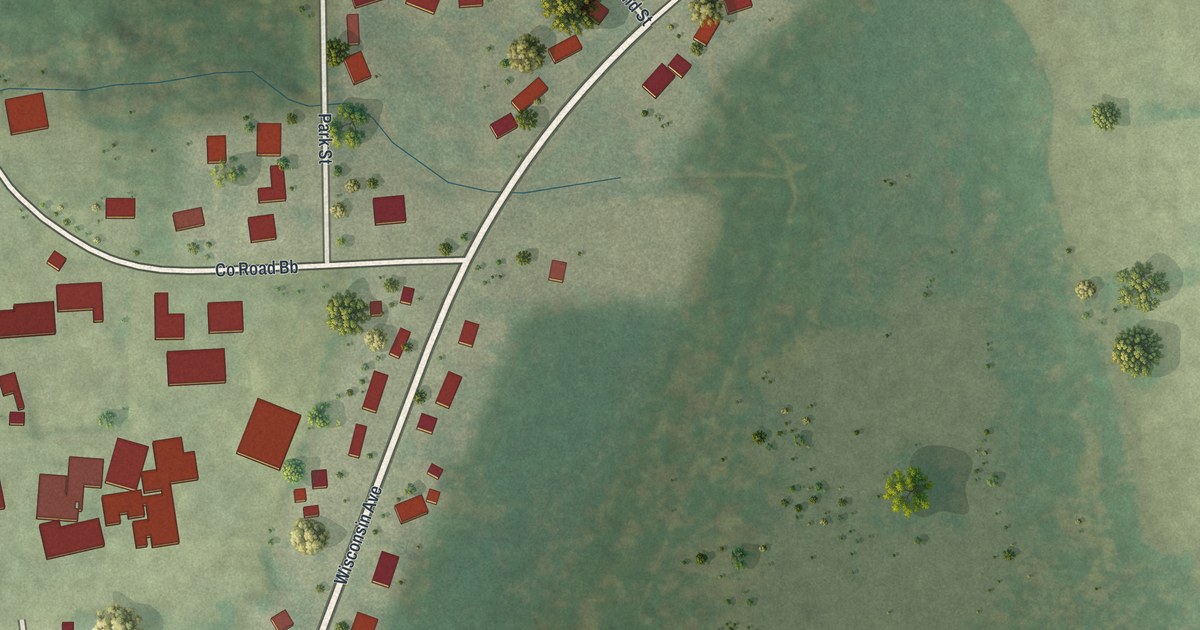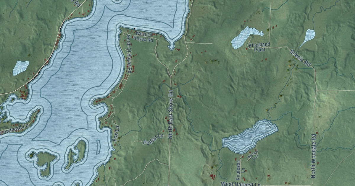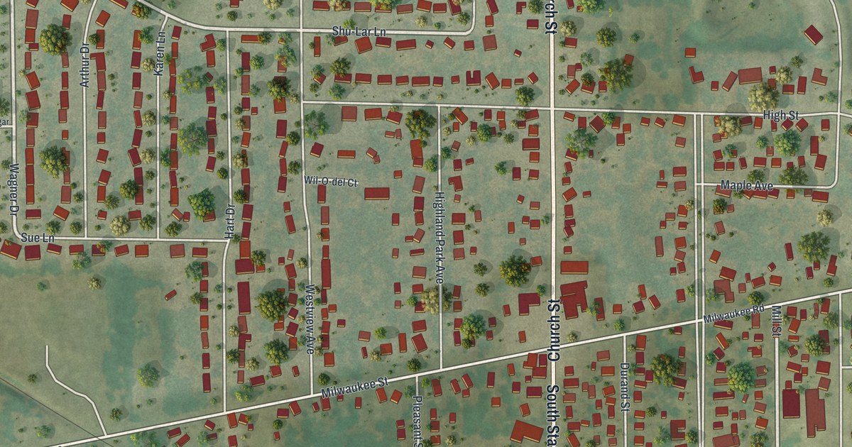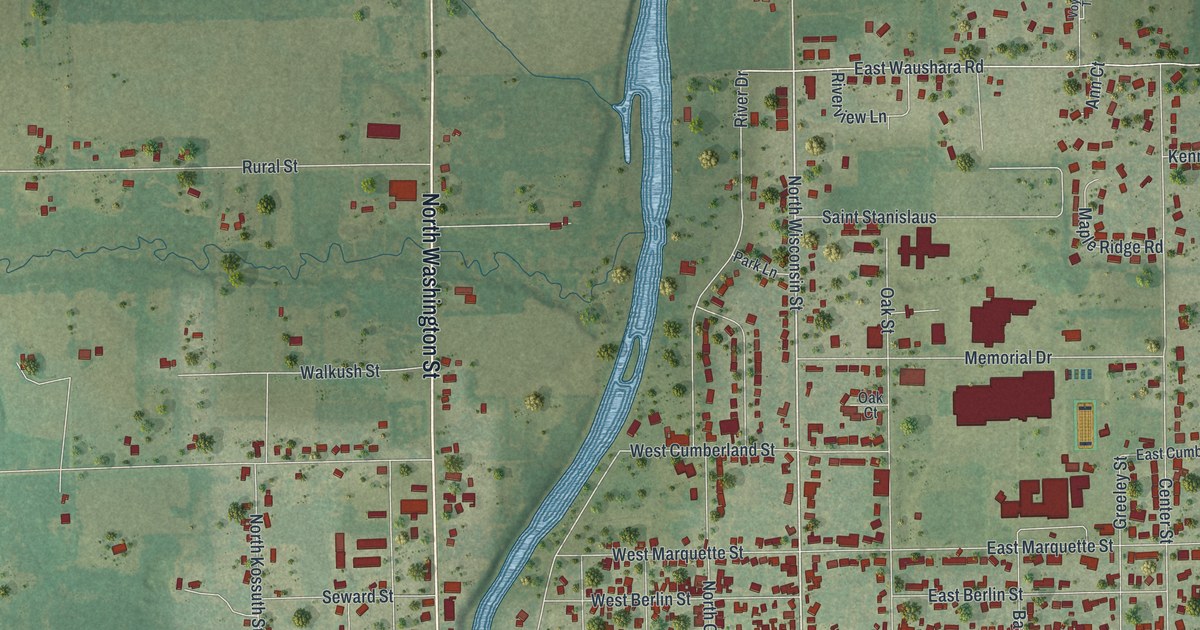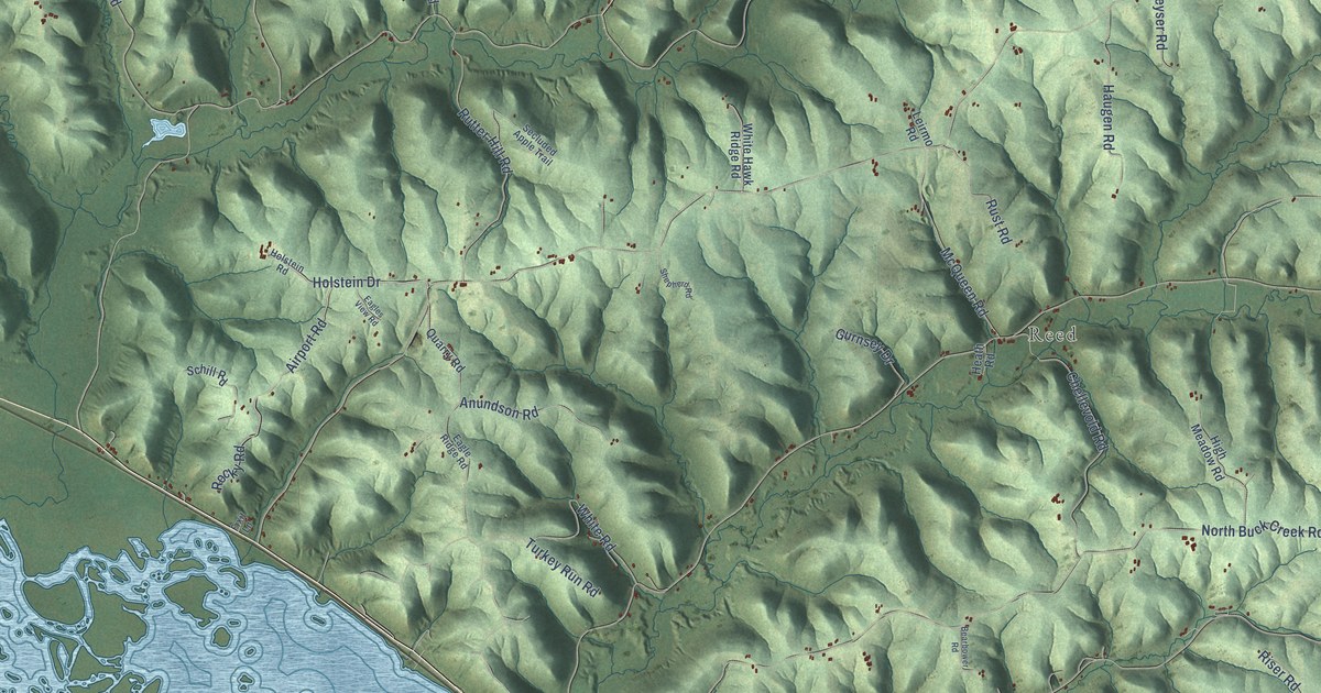
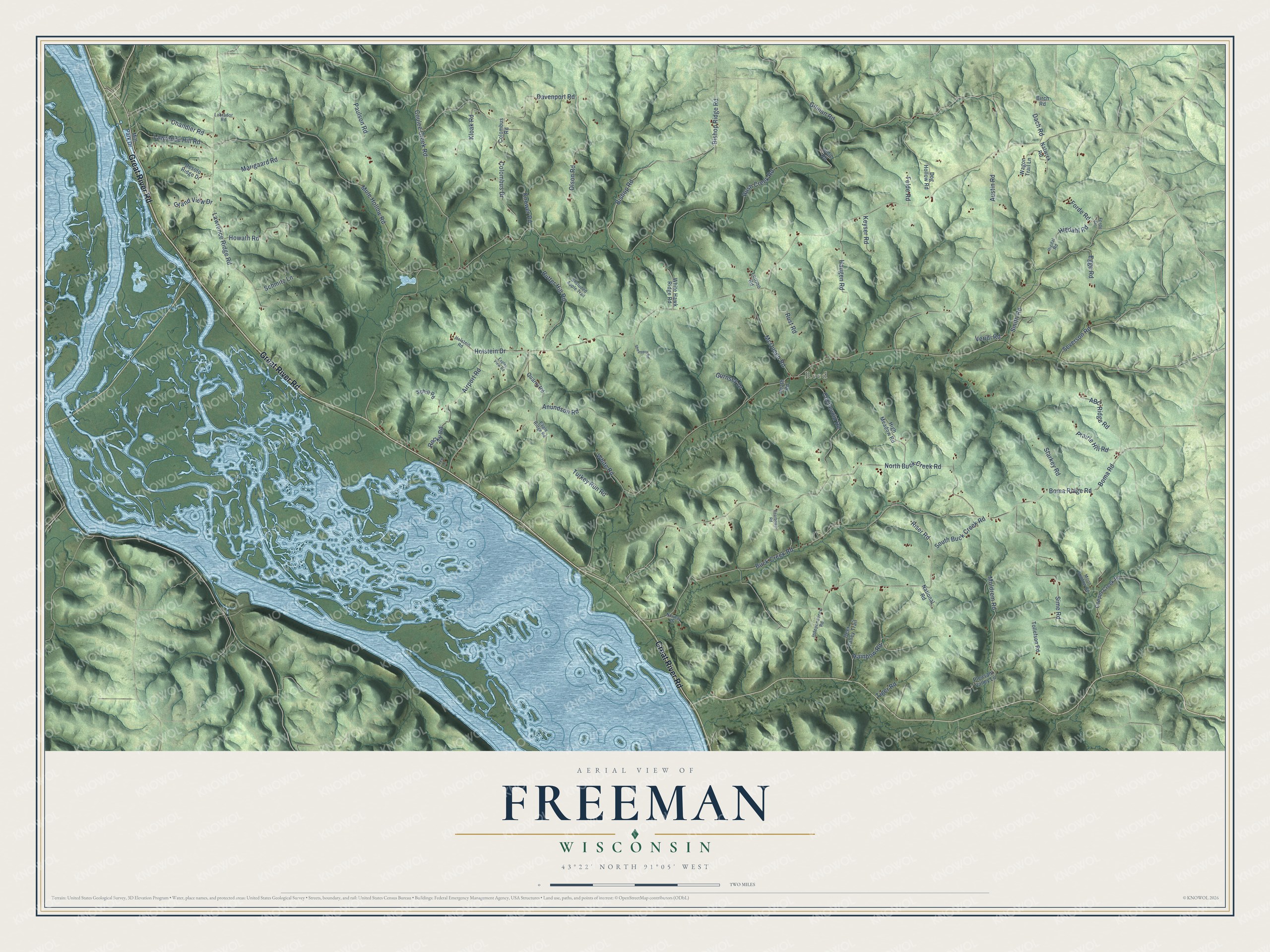
This beautifully detailed map of Freeman, Wisconsin was created in 2026 using aerial imagery combined with modern topographical, census, street and landmark data. It's a modern aerial view of Freeman in Crawford County, Wisconsin, that combines modern data with a vintage aesthetic. The roads feature printed names, and if you look closely you can find your exact house accurately shown in its correct location.
Explore an aerial view of Freeman, Wisconsin
On this map you'll find Reed, Great River Road, Davenport Road, Olson Road, Bishop Ridge Road, Coulee Creek Road, Dach Road, Higdahl Road, Rush Creek Road, North Buck Creek Road, Buck Creek Road, South Buck Creek Road, and more. Each red shape is a building, so zoom in on the preview and look for yours.
Freeman is a town in Crawford County. The Census Bureau counted 727 people here in 2020. The map prints the town name in its title panel, with the coordinates below it.
Take a closer look at the Freeman map
Names on this map
These names are printed on this map.
Places: Reed.
Streets and roads: Great River Road, Davenport Road, Olson Road, Bishop Ridge Road, Coulee Creek Road, Dach Road, Higdahl Road, Rush Creek Road, North Buck Creek Road, Buck Creek Road, South Buck Creek Road, Mule Hollow Road.
More street names, A to Z
ABC Ridge Road, Airport Road, Anundson Road, Austin Road, Bearbower Road, Birch Road, Bishop Road, Boma Ridge Road, Boma Road, Chandler Road, Chellevold Road, Colombus Drive, Colombus Road, Copper Creek Road, Deer Valley Trail, Desoto Ridge Drive, Dog Hollow Road, Eagle Ridge Road, Eagles View Road, Egge Road, Felde Road, Fixit Lane, Forde Drive, Forde Road, Gilman Road, Grand View Drive, Gurnsey Drive, Haugen Road, Heath Road, Higdal Road, High Meadow Road, Holstein Drive, Holstein Road, Howath Road, Independence Road, Keyser Road, Kloak Road, Knower Road, Labrador Road, Lawrence Hill Road, Lawrence Ridge Road, Leirmo Road, Marigaard Road, McQueen Road, Mill Park Drive, Moldrem Road, Moon Shadow Road, National Road, Natwick Road, Norway Drive, Paulson Road, Pleasant Valley Lane, Prairie Hill Road, Quarry Road, Rainbow Road, Riser Road, Rocky Road, Rust Road, Rutter Hill Road, Schill Road, Schmitz Lane, Secluded Apple Trail, Severson Road, Shepherd Road, Sidie Road, Sime Road, Smith Road, Starkey Road, Tiger Road, Tollefson Road, Turkey Run Road, Veridi Road, Wagon Trail Lane, White Hawk Ridge Road, White Road.
Created by KNOWOL in 2026. The buildings are small red shapes, the roads carry their printed names, and shaded relief shows the shape of the land. The title panel reads "AERIAL VIEW OF FREEMAN, WISCONSIN" with 43°22' NORTH 91°05' WEST.
Hang it in the hallway, the office or the cabin, or give it to someone who left Freeman and still calls it home. Open the preview and look for a street you know. See sizes and frames for the Freeman map.