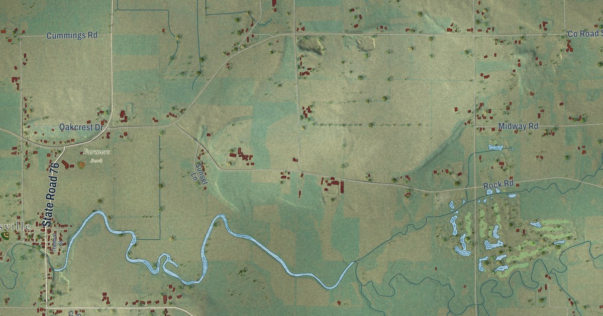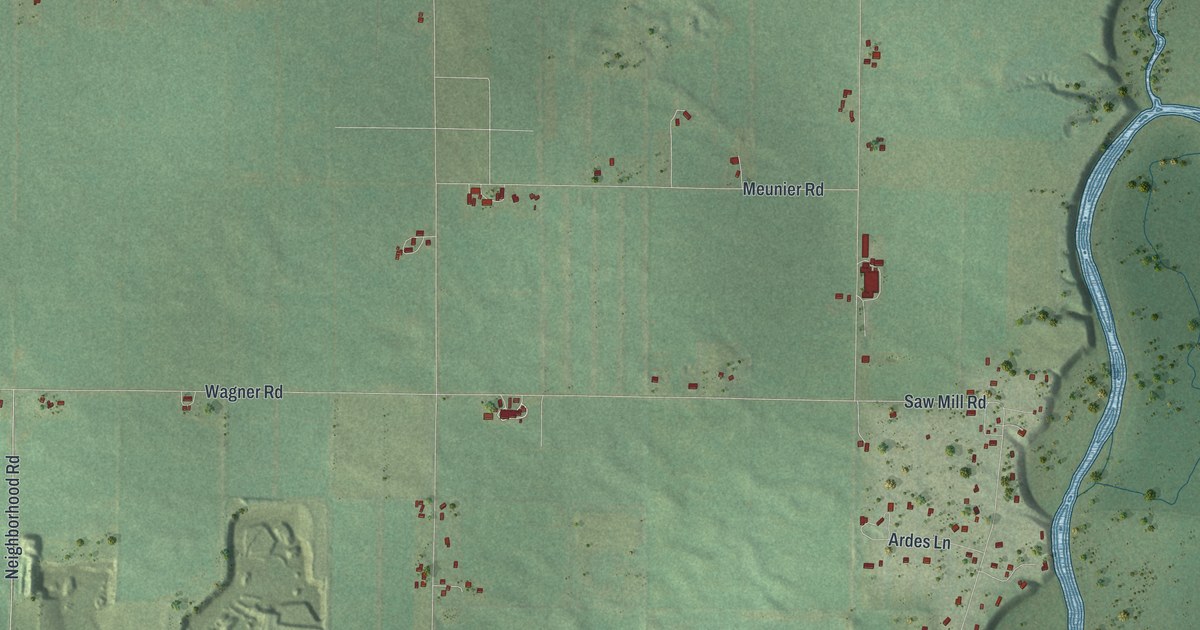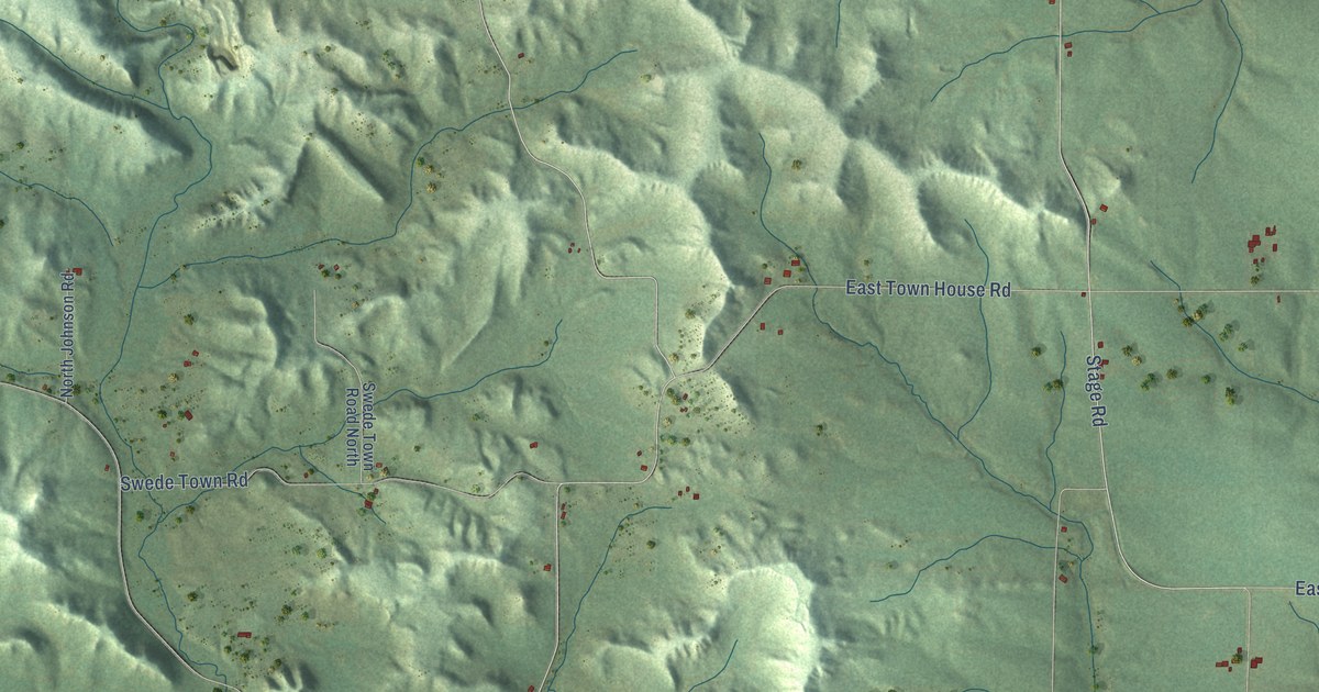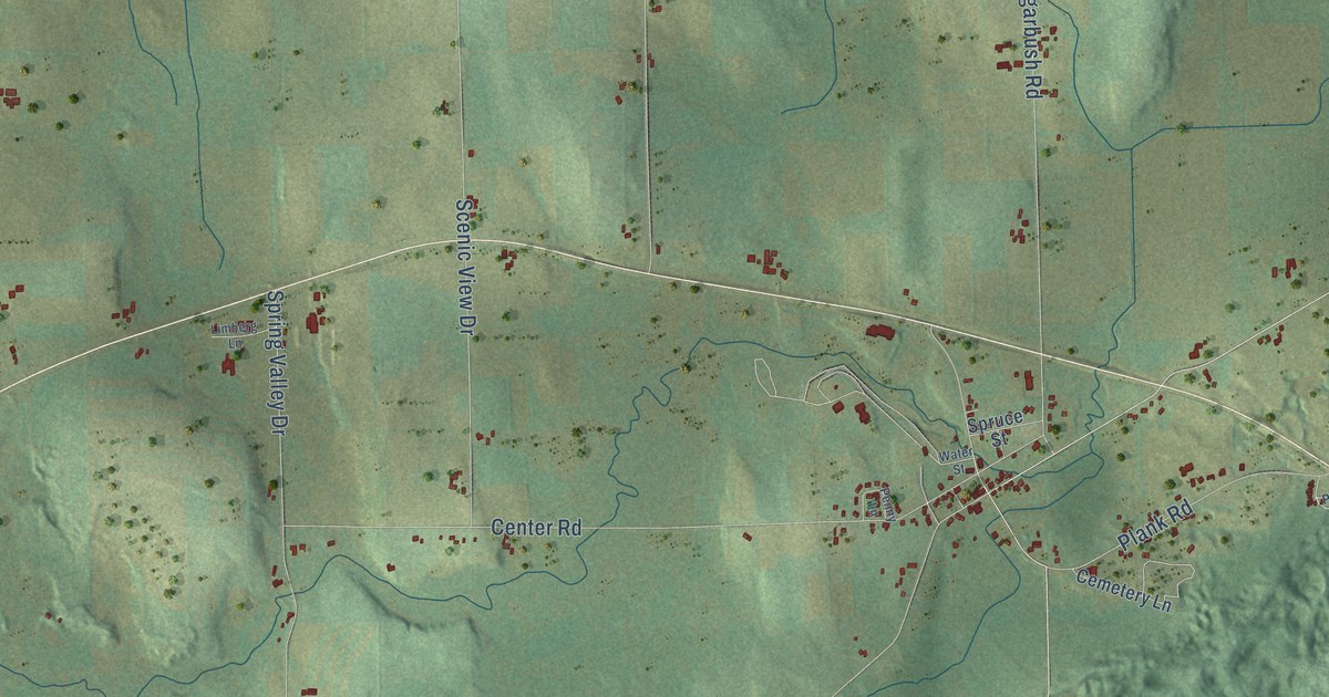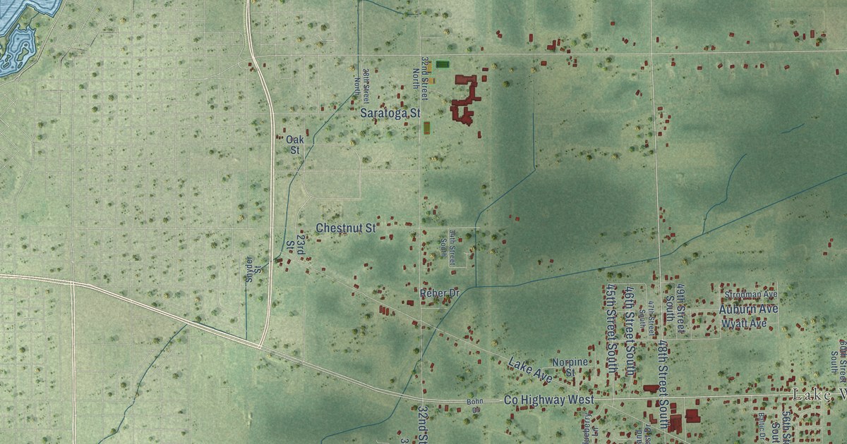
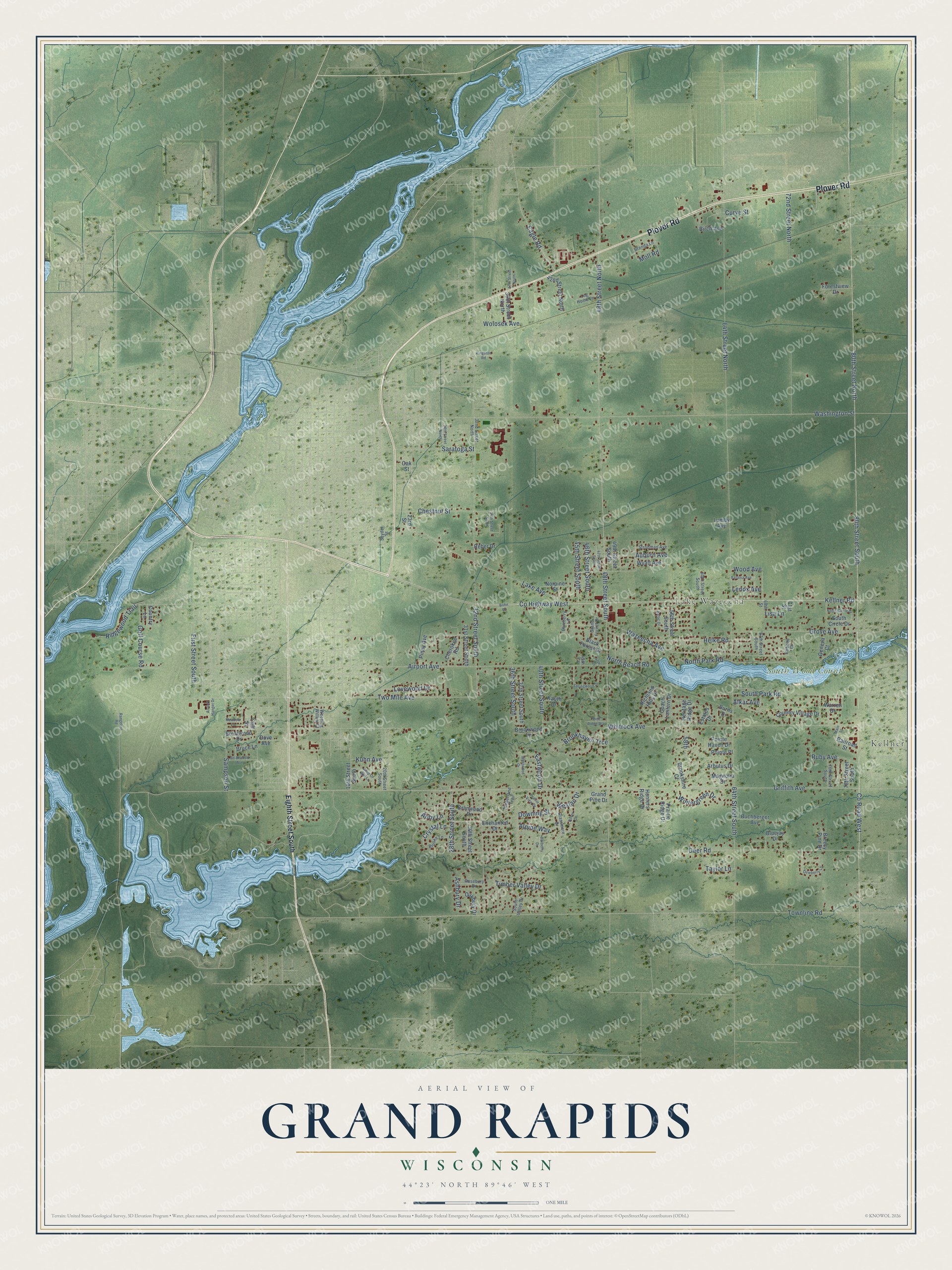
This beautifully detailed map of Grand Rapids, Wisconsin was created in 2026 using aerial imagery combined with modern topographical, census, street and landmark data. It's a modern aerial view of Grand Rapids in Wood County, Wisconsin, that combines modern data with a vintage aesthetic. The roads feature printed names, and if you look closely you can find your exact house accurately shown in its correct location.
Explore an aerial view of Grand Rapids, Wisconsin
On this map you'll find Kellner, Lake Wazeecha, South Wood County Park, Plover Road, Co Highway West, 48th Street South, 48th Street North, Kellner Road, Washington Street, Co Road West, 80th Street North, Townline Road, and more. Each red shape is a building, so zoom in on the preview and look for yours.
Here is a piece of Grand Rapids history, in the words of the record. The Town of Grand Rapids puts it this way: "Grand Rapids became part of Wood County in 1856 when Portage County was split into two counties. The Town got its name from the many areas along the river that had rapids and chutes."
Grand Rapids is a town in Wood County. The Census Bureau counted 7,576 people here in 2020.
Take a closer look at the Grand Rapids map
Names on this map
These names are printed on this map.
Places: Kellner, Lake Wazeecha and South Wood County Park.
Streets and roads: Plover Road, County Highway West, 48th Street South, 48th Street North, Kellner Road, Washington Street, County Road West, 80th Street North, Townline Road, Griffith Avenue, 64th Street South, 80th Street South.
More street names, A to Z
16th Street South, 20th Street South, 23rd Street, 28th Street North, 28th Street South, 30th Street South, 31st Street South, 32nd Street North, 32nd Street South, 34th Street South, 36th Street North, 36th Street South, 37th Street North, 37th Street South, 40th Street South, 42nd Street North, 45th Court, 45th Street South, 46th Street South, 47th Court, 47th Street South, 49th Street South, 56th Street South, 58th, 60th Street South, 64th Street North, 67th Street South, 68th Street, 71st Street, 72nd Street North, 76th Street South, 78th Street South, Abby Lane, Airport Avenue, Airport Hanger Drive, Alkar Avenue, Alpine Way, Arbutus Drive, Ashbury Drive, Auburn Avenue, Baltic Drive, Barberry Drive, Batavia Avenue, Birch Avenue, Black Forest Drive, Blueberry Lane, Bluejay Drive, Bohn Drive, Branwood Drive, Breezy Pine Drive, Brenda Lane, Brentwood Drive, Brianwood Avenue, Brooke Lane, Brookhaven Trce, Brookshire Court, Brookwood Lane, Bruce Lane, Buchberger Avenue, Burns Drive, Cherokee Road, Chestnut Street, Cliff Street, Coach Lantern Drive, Country Lane, Country Village Drive, Crystal Lane, Curve Street, Deer Road, Dewberry Lane, Dove Avenue, Dover Court, Downing Street, Eagle Road, Eastwood Drive, Eighth Street South, Enchanted Drive, Estates Drive, First Street South, Forestview Drive, Geneva Court, Golf Course Road, Grand Forest Drive, Grand Pine Drive, Grassmere Drive, Grove Avenue, Helke Road, Heritage Ridge Drive, Hobnail Court, Hunters Ridge Drive, Kauth Drive, Kingston Road, Kuhn Avenue, Lake Avenue, Lenox Avenue, Lisa Lane, Log Home Lane, Lovewood Drive, Lumby Avenue, Magnolia Drive, Main Street, Meadow Lane, Moll Road, Norpine Street, North Beach Road, North Circle Drive, North Park Road, Oakbury Drive, Oak Street, Pine Ridge Way, Piney Avenue, Pointe Haven Drive, Pointe Place, Prairie Ridge Drive, Prairie View Drive, Railroad Street, Rangeline Road, Reber Drive, Richland Hills Drive, Ridgewood Trail, Rosebury Drive, Ruby Avenue, Sampson Street, Saratoga Street, Snyder Street, South Circle Drive, South Park Road, South Valley Drive, Springwood Drive, Strodman Avenue, Taylor Lane, Timberland Trail, Timber Valley Drive, Two Mile Avenue, Warren Drive, Wazeecha Avenue, Weeping Willow Court, Weslan Drive, Westwood Drive, Whip Or Will Lane, Whitrock Avenue, Wintergreen Drive, Wolosek Avenue, Wood Avenue, Wyatt Avenue.
Created by KNOWOL in 2026. The buildings are small red shapes, the roads carry their printed names, and shaded relief shows the shape of the land. The title panel reads "AERIAL VIEW OF GRAND RAPIDS, WISCONSIN" with 44°23' NORTH 89°46' WEST.
It suits a den, a classroom or a front hall, and it makes a gift for anyone with Grand Rapids roots. Open the preview and find the block you know. See sizes and frames for the Grand Rapids map.