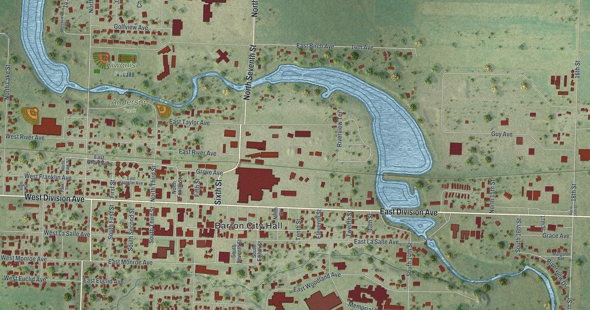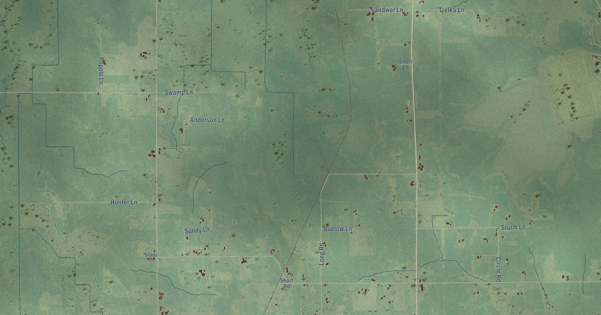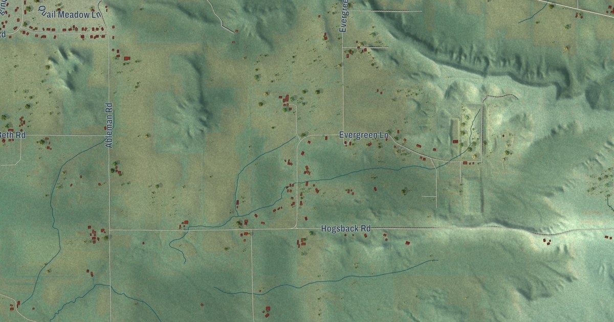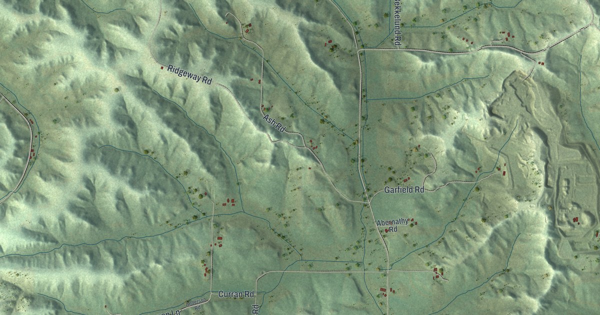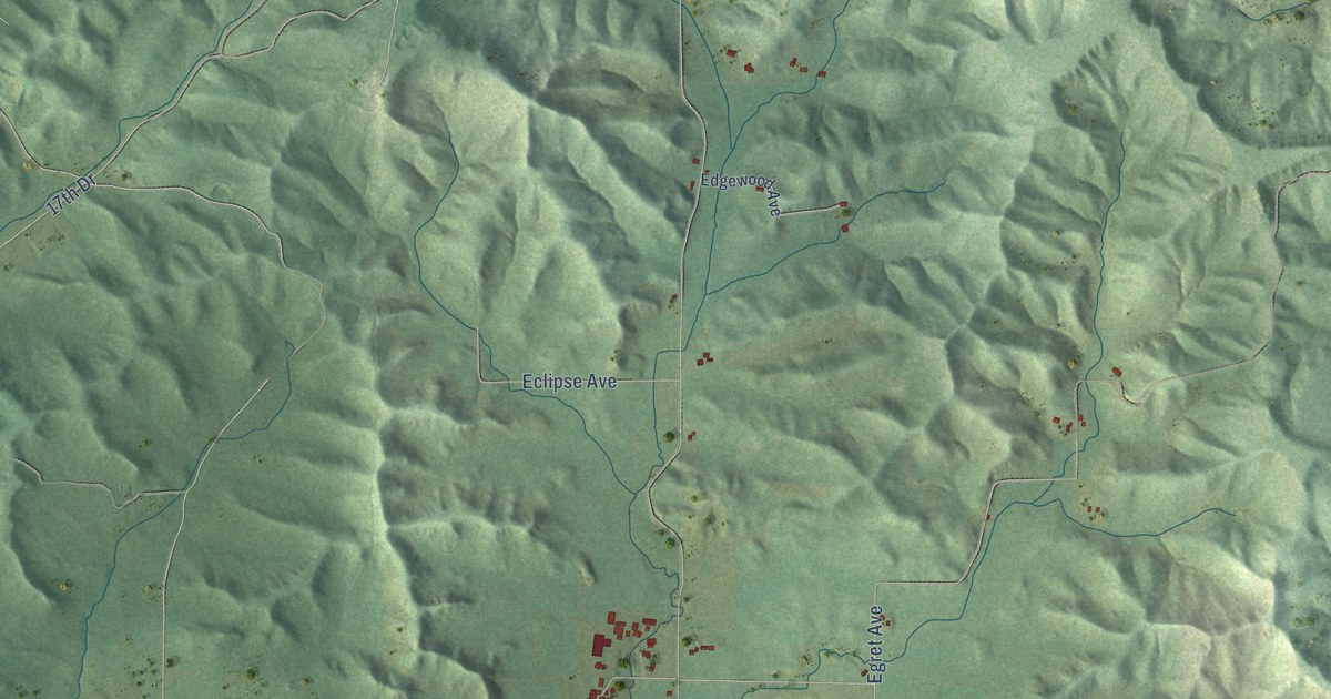
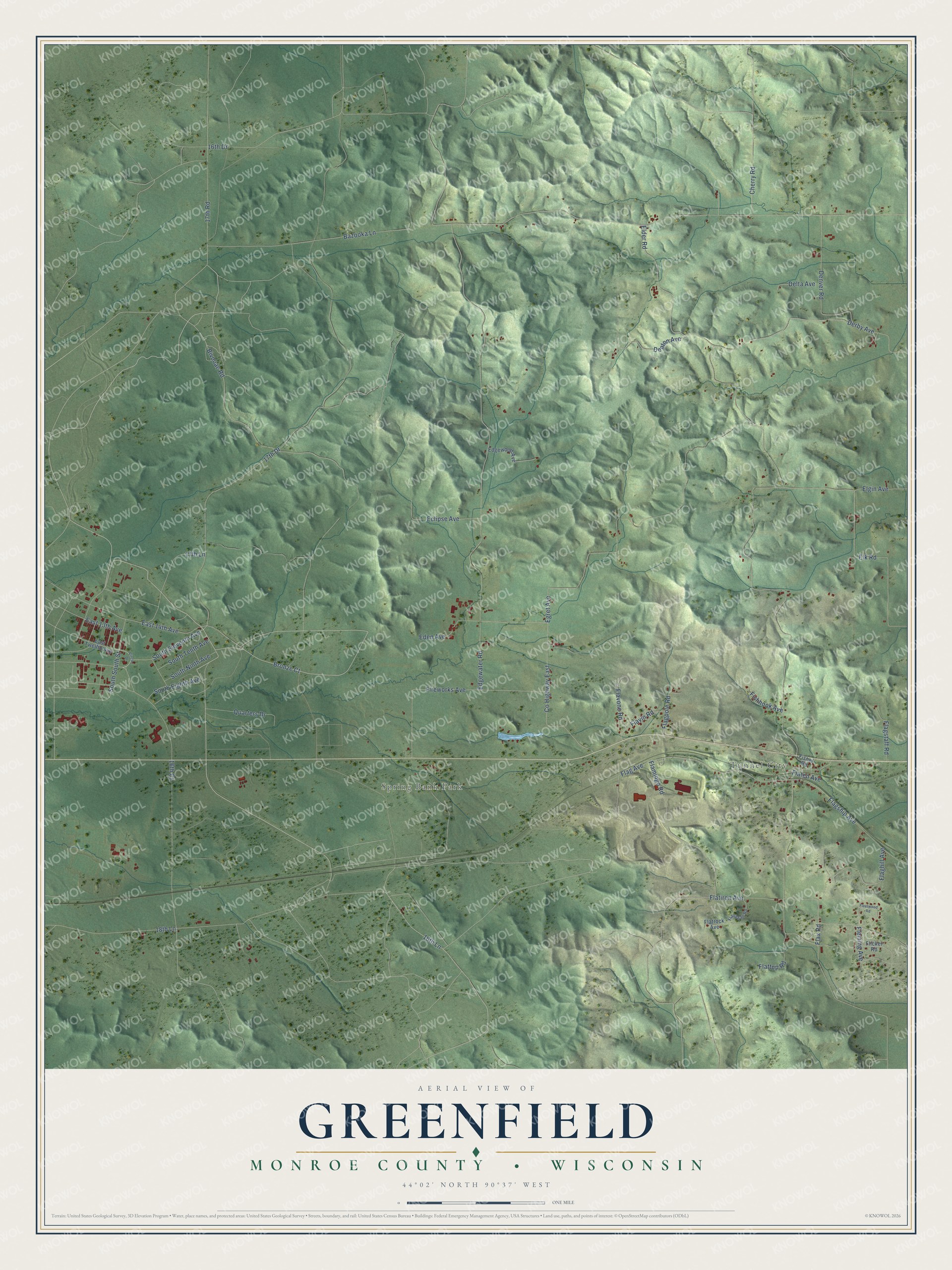
This beautifully detailed map of Greenfield, Wisconsin was created in 2026 using aerial imagery combined with modern topographical, census, street and landmark data. It's a modern aerial view of Greenfield in Monroe County, Wisconsin, that combines modern data with a vintage aesthetic. The roads feature printed names, and if you look closely you can find your exact house accurately shown in its correct location.
Explore an aerial view of Greenfield, Wisconsin
On this map you'll find Tunnel City, Spring Bank Park, South Eighth Avenue, Bronze Court, Bivouac Road, Co Highway East, Elder Road, 18th Lane, 17th Drive, Flatiron Avenue, 16th Court, Bazooka Lane, and more. Each red shape is a building, so zoom in on the preview and look for yours.
Greenfield has a story worth telling. The History of Monroe County puts it this way: "The Tarr family were among the first settlers of Greenfield township, together with the Sawyers and others, sketches of whom appear elsewhere in this work."
Greenfield is a town in Monroe County. The Census Bureau counted 677 people here in 2020.
Take a closer look at the Greenfield map
Names on this map
These names are printed on this map.
Places: Tunnel City and Spring Bank Park.
Streets and roads: South Eighth Avenue, Bronze Court, Bivouac Road, South South Street, County Highway East, Elder Road, 18th Lane, 17th Drive, Flatiron Avenue, 16th Court, Bazooka Lane, Fireworks Avenue.
More street names, A to Z
16th Drive, 16th Lane, 17th Lane, 17th Road, Cherry Road, Circle Drive, Delta Avenue, Denton Avenue, Denver Road, Derby Avenue, East 13th Avenue, East 14th Avenue, East Twelfth Avenue, Eclipse Avenue, Eden Avenue, Edgewater Road, Edgewood Avenue, Egret Avenue, Elgin Avenue, Elk Road, Fisher Road, Fishhook Avenue, Flag Avenue, Flaghill Avenue, Flagpole Road, Flagship Avenue, Flagstaff Road, Flamingo Road, Flanagan Road, Flaten Avenue, Flatrock Avenue, Flattop Road, Flavin Road, Flavone Road, Flax Road, Fleetwood Road, Fleming Avenue, Flicker Road, Quarters Drive, South Eleventh Avenue, South Ninth Avenue, South Tenth Avenue.
Created by KNOWOL in 2026. The buildings are small red shapes, the roads carry their printed names, and shaded relief shows the shape of the land. The title panel reads "AERIAL VIEW OF GREENFIELD, MONROE COUNTY • WISCONSIN" with 44°02' NORTH 90°37' WEST.
It looks right in a kitchen, an office or a den, and it's a gift for anyone who grew up in Greenfield or moved away. Open the preview and find your street. See sizes and frames for the Greenfield, Monroe County map.