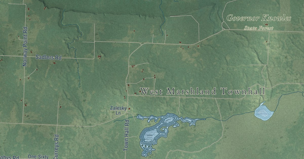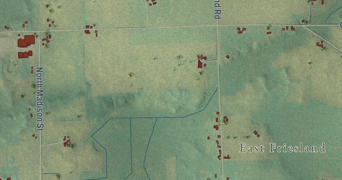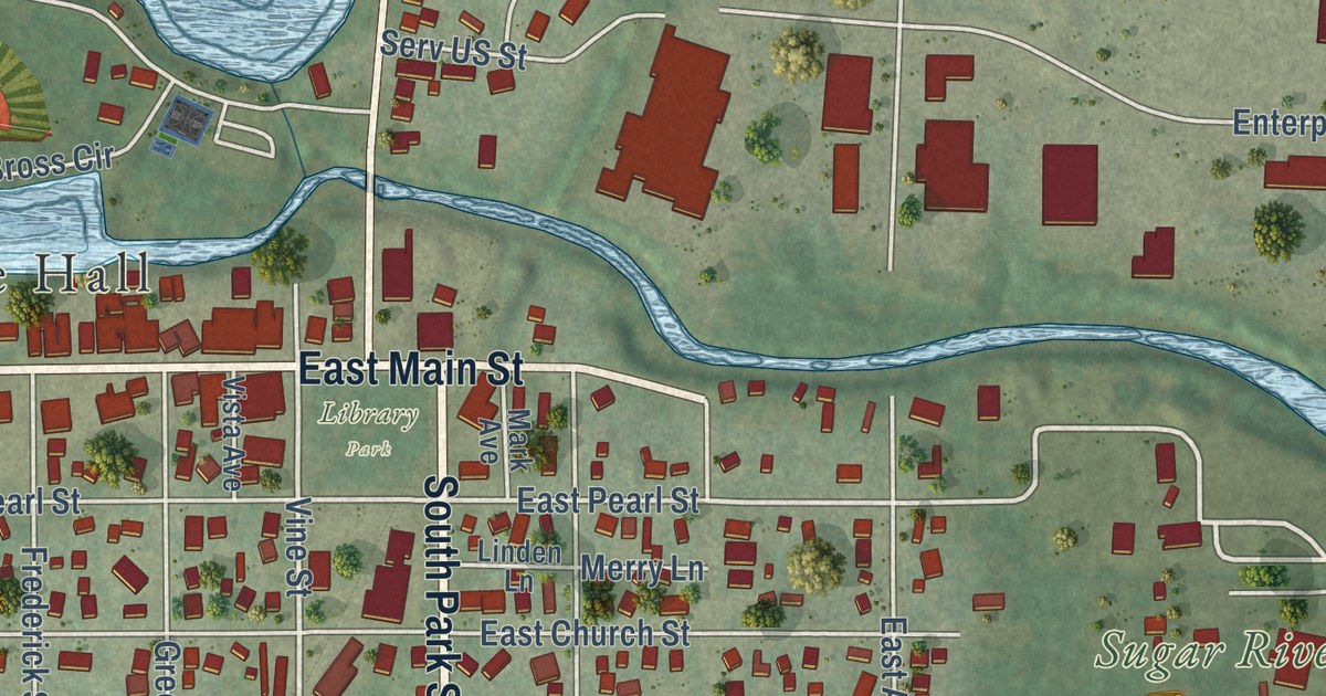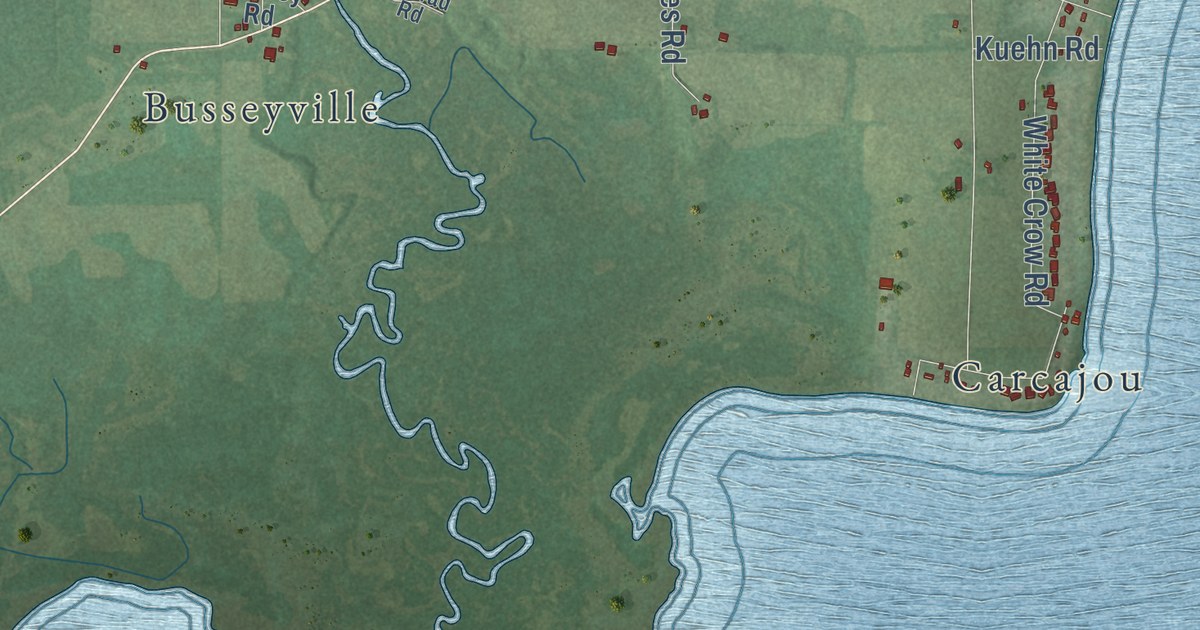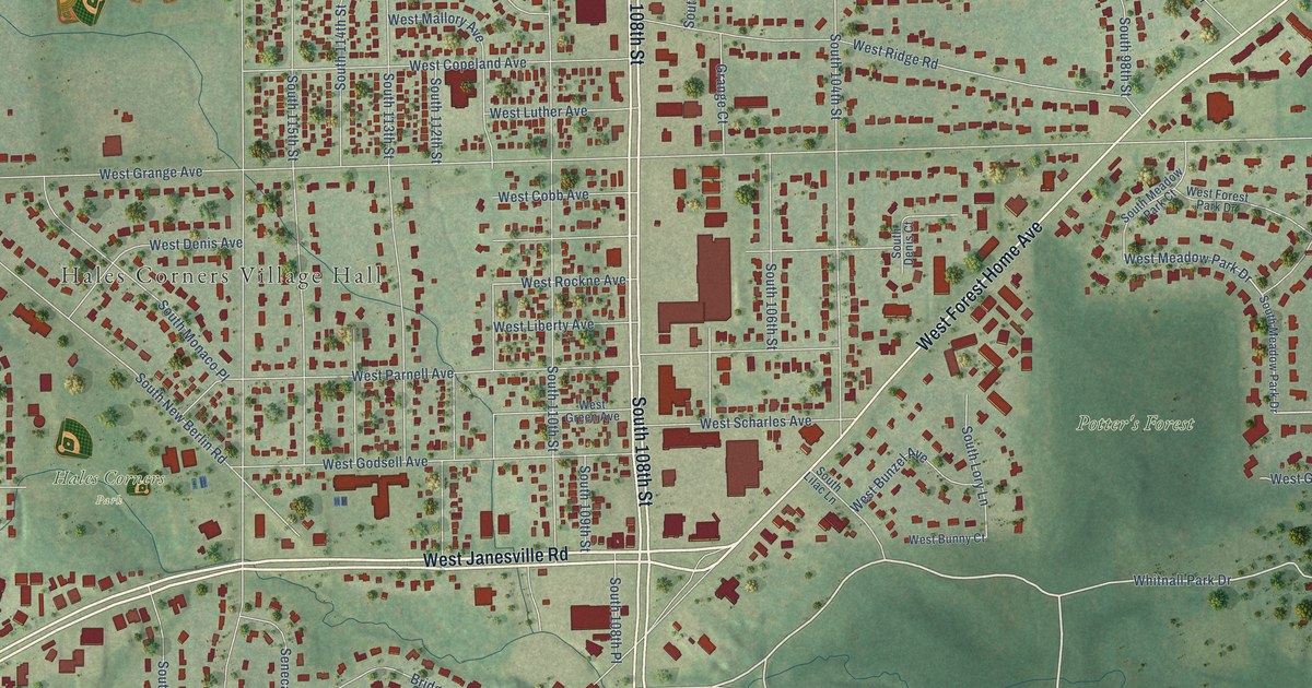
This beautifully detailed map of Hales Corners, Wisconsin was created in 2026 using aerial imagery combined with modern topographical, census, street and landmark data. It’s a one-of-a-kind view of Hales Corners that combines accurate data with a vintage aesthetic. The map shows every building in its true location, many of the roads carry their names, and the shaded topographic relief shows the shape of the land.
Explore an aerial view of Hales Corners, Wisconsin
On the map you’ll find Hales Corners Village Hall, Hales Corners Park, Potter’s Forest, Schoetz Park, and Whitnall Park, along with West Janesville Road, South 108th Street, West Forest Home Avenue, Whitnall Park Drive, West Edgerton Avenue, Northridge Trail, South Forest Park Drive, and more. If you look closely you can even find your house accurately drawn in its correct location. Zoom in on the preview to look for yours.
Did you know this piece of Hales Corners, Wisconsin history?
From the Village of Hales Corners: "Hales Corners continued to develop as a commercial and residential center. It was established as an unincorporated village in 1924 and was incorporated as a village on January 30, 1952."
Take a closer look at the Hales Corners map
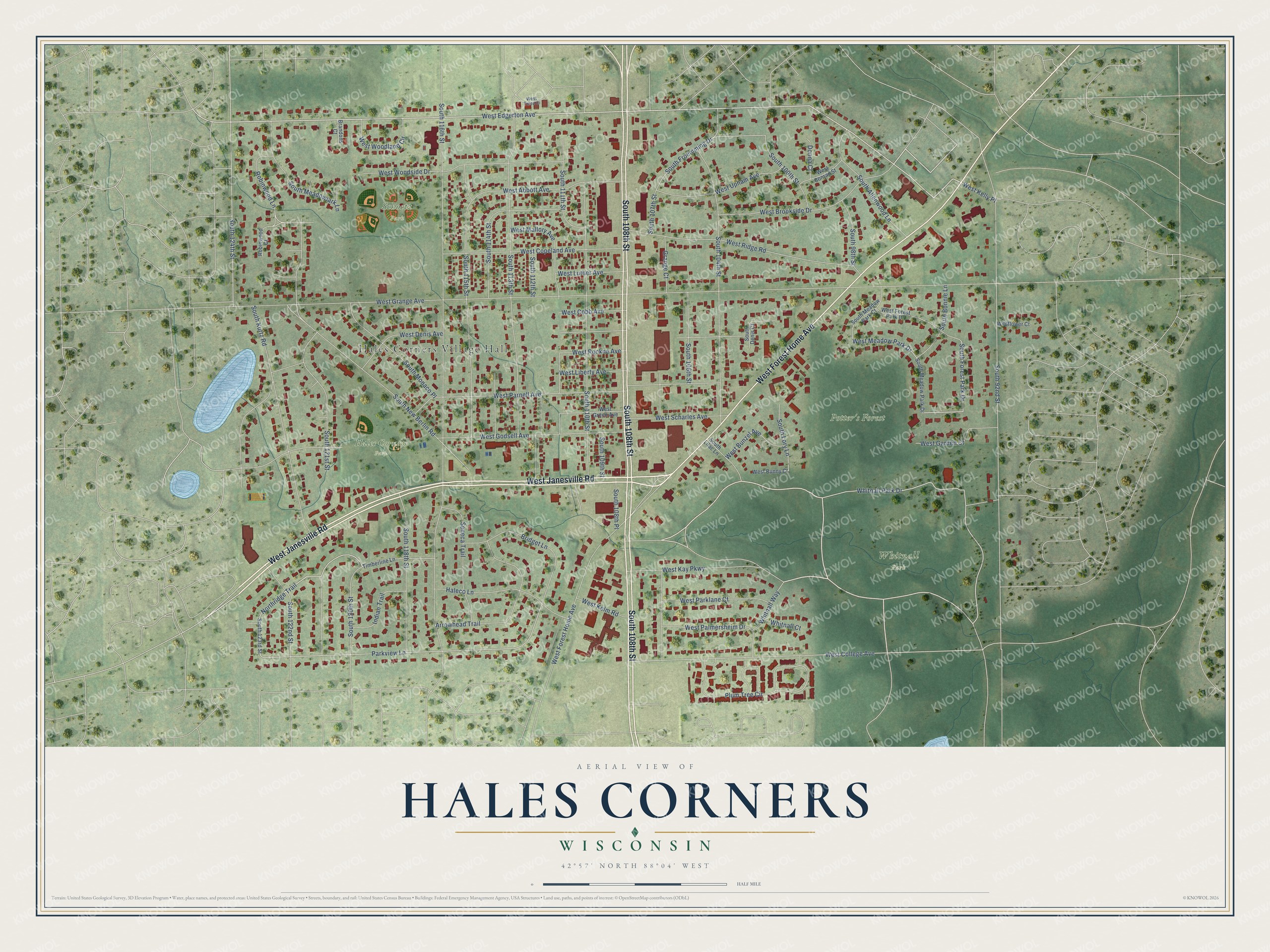
Street and place names on the Hales Corners, Wisconsin map
These names are printed on the map of Hales Corners, Wisconsin.
Places: Hales Corners Village Hall, Hales Corners Park, Potter's Forest, Schoetz Park and Whitnall Park.
Streets and roads: West Janesville Road, South 108th Street, West Forest Home Avenue, Whitnall Park Drive, West Edgerton Avenue, Northridge Trail, South Forest Park Drive, West Meadow Park Drive, Parkview Lane, West College Avenue, South New Berlin Road, Plum Tree Circle.
More street names, A to Z
Arrowhead Trail, Brandons Court, Bridget Lane, Donna Court, Grange Court, Haleco Lane, Indian Trail, Robinwood Court, Robinwood Lane, Seneca Trail, South 92nd Street, South 98th Street, South 100th Street, South 104th Street, South 106th Street, South 107th Street, South 108th Place, South 109th Street, South 110th Street, South 111th Street, South 112th Street, South 113th Street, South 114th Street, South 115th Street, South 116th Street, South 118th Street, South 120th Street, South 121st Street, South 122nd Street, South 123rd Street, South 124th Street, South Allenwood Lane, South Bonnie Lane, South Denis Court, South Froemming Drive, South Kurtz Road, South Lilac Lane, South Lory Lane, South Meadowlark Lane, South Meadow Park Court, South Meadow Park Drive, South Monaco Place, Timberline Lane, West Abbott Avenue, West Brookside Drive, West Bunny Court, West Bunzel Avenue, West Cobb Avenue, West Conrad Street, West Copeland Avenue, West Denis Avenue, West Forest Park Drive, West Garden Court, West Godsell Avenue, West Grange Avenue, West Green Avenue, West Kay Parkway, West Kelly Place, West Kelm Road, West Liberty Avenue, West Luther Avenue, West Mallory Avenue, West Palmersheim Drive, West Parklane Court, West Parnell Avenue, West Ridge Road, West Rockne Avenue, West Scharles Avenue, West Talon Ci, West Upham Avenue, West Woodland Circle, West Woodside Drive, Whitnall Court, Whitnall Way, Wildflower Court.
See the Hales Corners, Wisconsin map on a wall
The Hales Corners map as an 18 x 24 inch print in a black frame.

This beautifully detailed map of Hales Corners makes an attractive addition to your office, library, or den, and it can even be used to teach children the geography and history of the area. It also makes a great gift for someone who left Hales Corners and still calls it home. When you’re done exploring, click here to get your copy of the Hales Corners map.