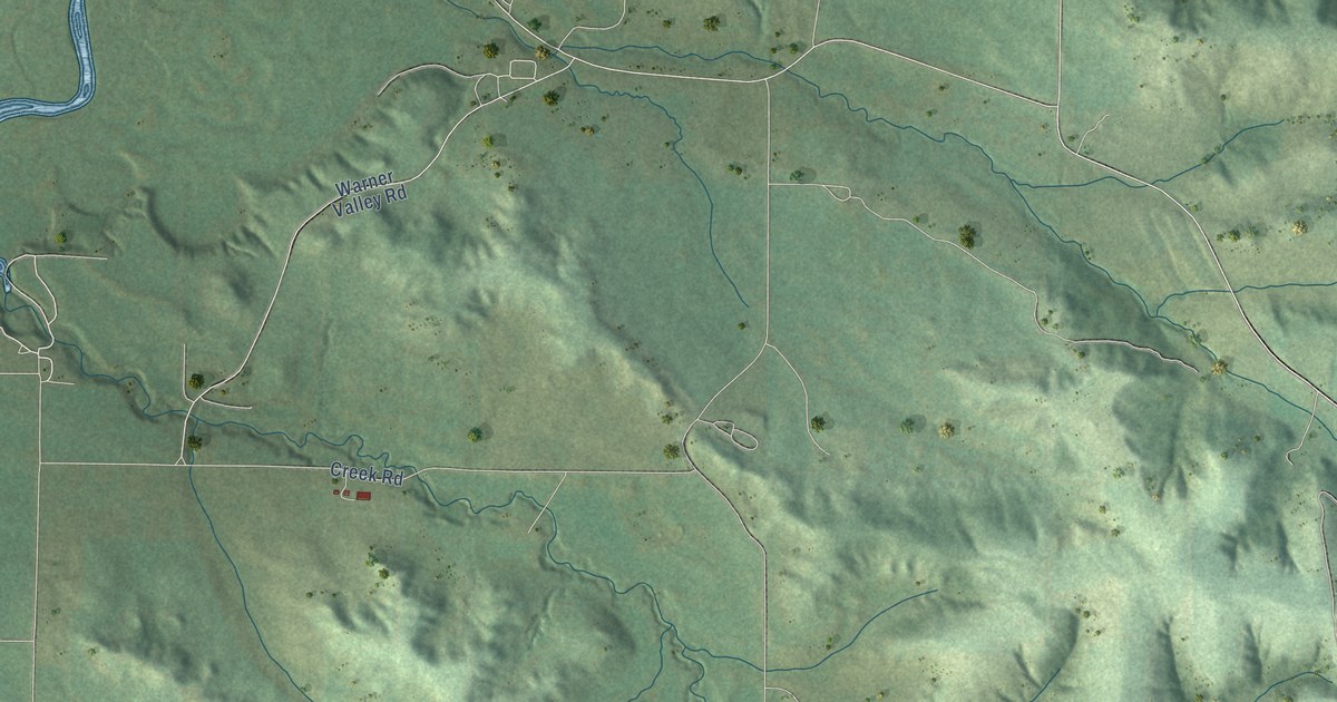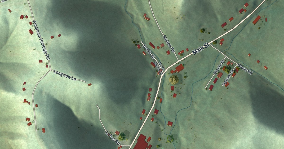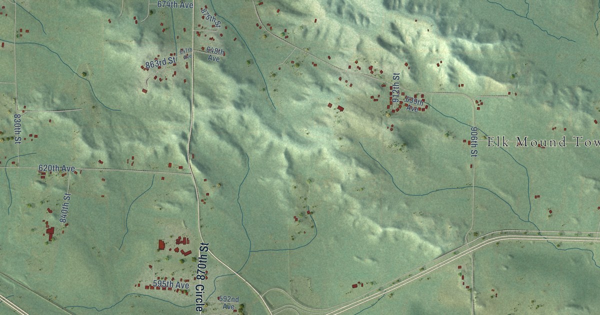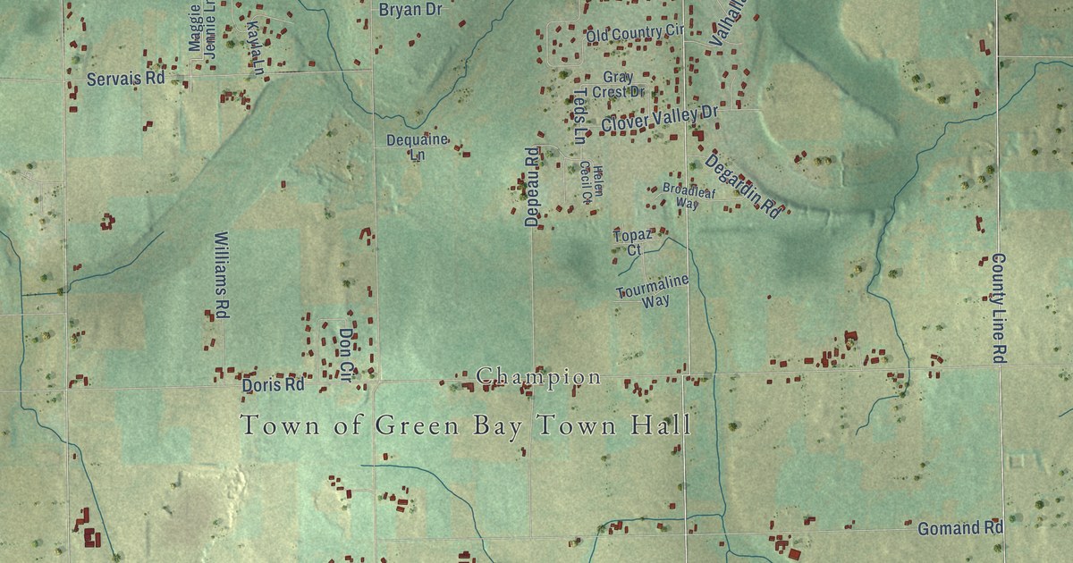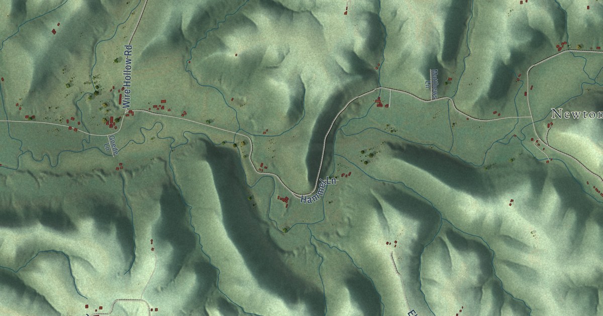
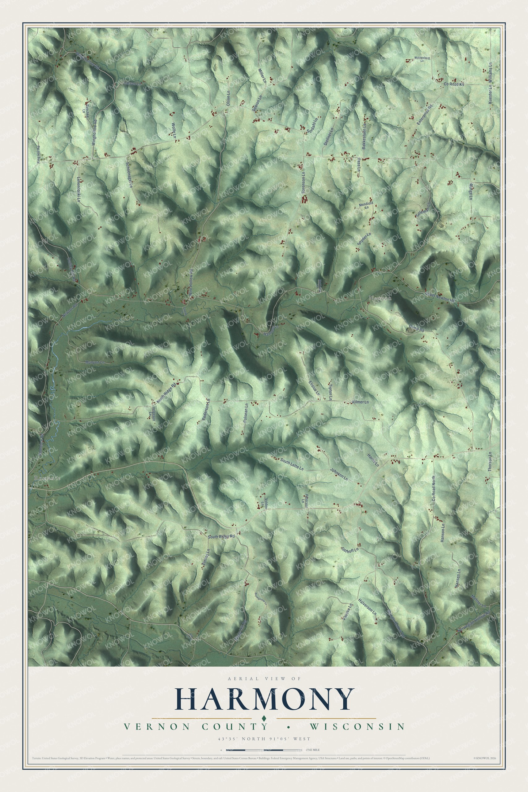
This beautifully detailed map of Harmony, Wisconsin was created in 2026 using aerial imagery combined with modern topographical, census, street and landmark data. It's a modern aerial view of Harmony in Vernon County, Wisconsin, that combines modern data with a vintage aesthetic. The roads feature printed names, and if you look closely you can find your exact house accurately shown in its correct location.
Explore an aerial view of Harmony, Wisconsin
On this map you'll find Romance, Newton, South Ridge Road, Hanson Lane, Newton Road, North Ridge Road, Co Road North, Wire Hollow Road, Shingle Hollow Road, Wing Hollow Road, Winghollow Road, Wapp Hill Road, and more. Each red shape is a building, so zoom in on the preview and look for yours.
Harmony has a story worth telling. The Internet Archive puts it this way: "The first religious services held in the town-
ship were conducted in a dwelling house, in
1856, by the Rev."
Harmony is a town in Vernon County. The Census Bureau counted 882 people here in 2020.
Take a closer look at the Harmony map
Names on this map
These names are printed on this map.
Places: Romance and Newton.
Streets and roads: South Ridge Road, Hanson Lane, Newton Road, North Ridge Road, County Road North, Wire Hollow Road, Shingle Hollow Road, Wing Hollow Road, Winghollow Road, Wapp Hill Road, Upper Newton Road, Sorenson Lane.
More street names, A to Z
Bad Axe Road, Bakkestuen Lane, Baumgartner Lane, Coleman Lane, County Road Kk, Dudley Hill Road, Dump Road, Elisius Lane, Enterprise Road, Fauske Lane, Finney Lane, Goede Lane, Halverson Lane, Hammel Lane, Hansen Lane, Harris Lane, Hass Lane, Helgeson Lane, Johnson Lane, Kilmer Lane, King Hill Road, Kuester Lane, Larson Lane, Levendoski Lane, Matthews Lane, Mehner Lane, Mendiola Lane, Miller Lane, Munyon Lane, Norwegian Hollow Road, Olson Lane, Osthoff Lane, Pederson Lane, Peterson Lane, Polsean Lane, Reschke Lane, Romance Road, Runge Lane, Schoenagel Lane, Sebion Lane, Snyder Lane, Sordahl Lane, South Lette Lane, Stellner Lane, Thorson Lane, Tipton Lane, Volden Lane, Waldenberg Lane, Williams Lane, Wolfe Lane.
Created by KNOWOL in 2026. The buildings are small red shapes, the roads carry their printed names, and shaded relief shows the shape of the land. The title panel reads "AERIAL VIEW OF HARMONY, VERNON COUNTY • WISCONSIN" with 43°35' NORTH 91°05' WEST.
It looks right in a kitchen, an office or a den, and it's a gift for anyone who grew up in Harmony or moved away. Open the preview and find your street. See sizes and frames for the Harmony, Vernon County map.