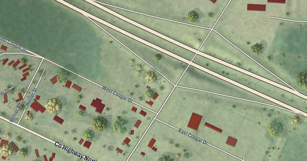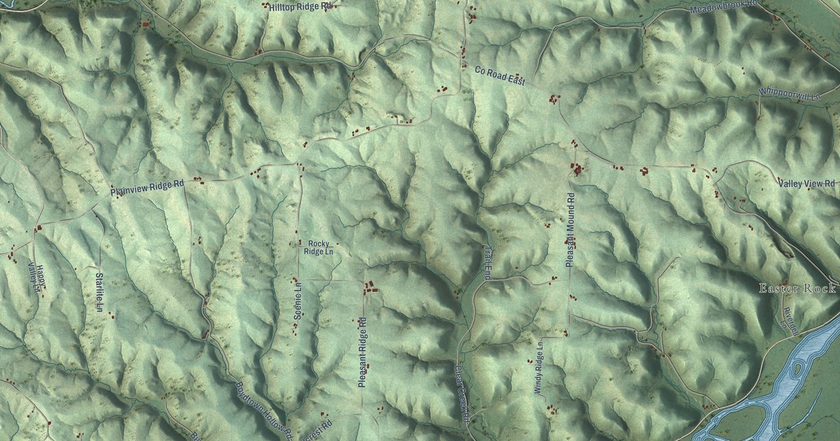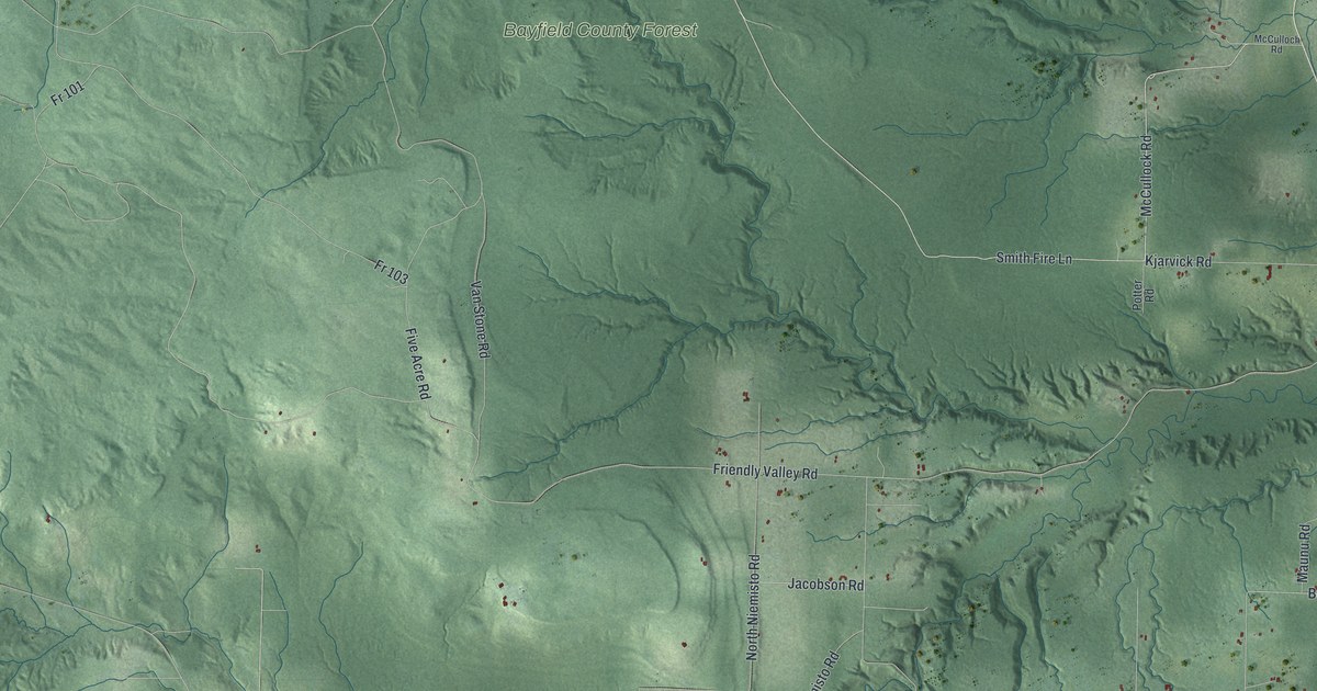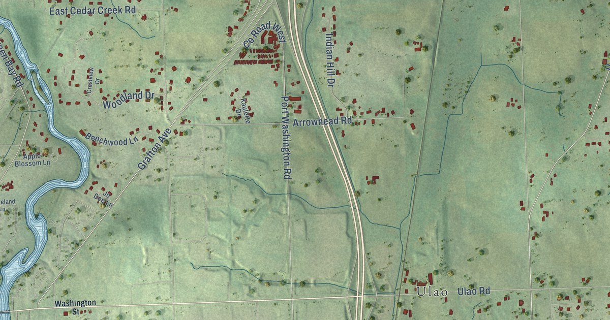
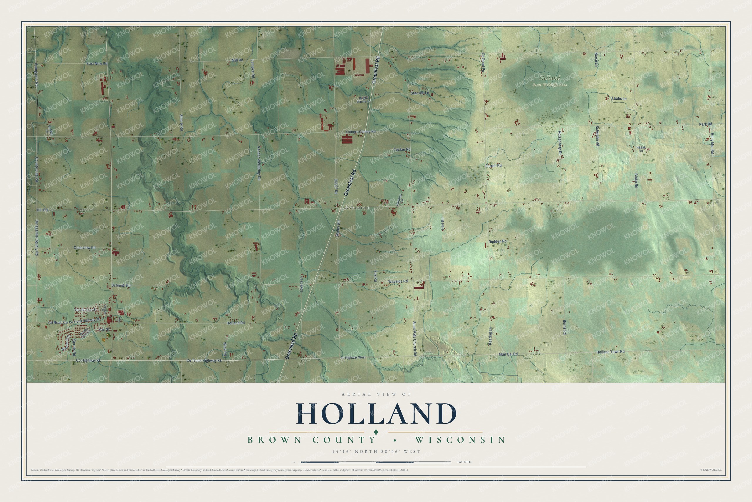
This beautifully detailed map of Holland, Wisconsin was created in 2026 using aerial imagery combined with modern topographical, census, street and landmark data. It's a modern aerial view of Holland in Brown County, Wisconsin, that combines modern data with a vintage aesthetic. The roads feature printed names, and if you look closely you can find your exact house accurately shown in its correct location.
Explore an aerial view of Holland, Wisconsin
On this map you'll find Askeaton, Holland State Wildlife Area, Greenleaf Road, Man Cal Road, Co Highway Kk, Co Trunk Highway Kk, East New Road, Holland Town Road, Co Road Ce, Hill Road, Mill Road, Wayside Road, and more. Each red shape is a building, so zoom in on the preview and look for yours.
Here is a piece of Holland history, in the words of the record. The History of Brown County puts it this way: "In 1852 the village built a schoolhouse on the site now occupied by the Holland Catholic church."
Holland is a town in Brown County. The Census Bureau counted 1,559 people here in 2020.
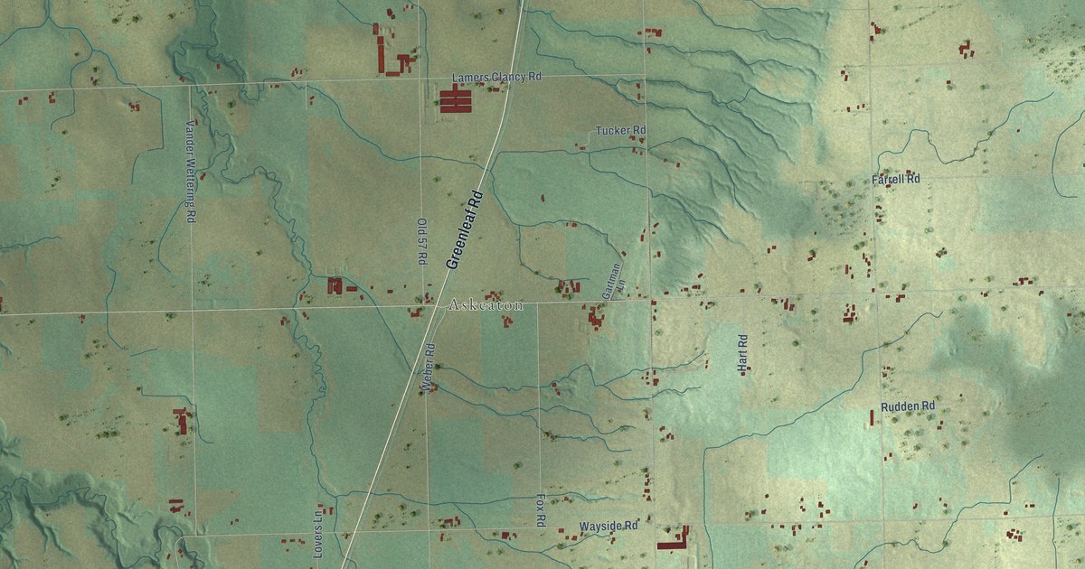
Take a closer look at the Holland map
Names on this map
These names are printed on this map.
Places: Askeaton and Holland State Wildlife Area.
Streets and roads: Greenleaf Road, Man Cal Road, County Highway Kk, Co Trunk Highway Kk, East New Road, Holland Town Road, County Road Ce, Hill Road, Mill Road, Wayside Road, Lamers Clancy Road, County Road Pp.
More street names, A to Z
Blake Road, Bright Penny Lane, Burns Road, Co Trunk Highway Ce, County Highway West, County Line Road, Crestview Road, Farrell Road, Fox Road, Gartman Lane, Gerrits Road, Golden Lane, Haese Lane, Hart Road, Holland Road, Holly Mor Road, Katie Lane, Keating Lane, Laabs Lane, Lempke Road, Lovers Lane, Niese Lane, Old 57 Road, Outagamie County Road, Outagamie Road, Park Road, Rotzenberg Road, Rudden Road, Saint Pats Church Road, Schmidt Road, Schwahn Road, Shanty Road, Staeven Lane, Tucker Road, Vanabel Street, Van de Loo Street, Vander Wettering Road, Van Street, Weber Road, Windmill Drive, Wink Road, Wooden Shoe Circle.
Created by KNOWOL in 2026. The buildings are small red shapes, the roads carry their printed names, and shaded relief shows the shape of the land. The title panel reads "AERIAL VIEW OF HOLLAND, BROWN COUNTY • WISCONSIN" with 44°16' NORTH 88°06' WEST.
It suits a den, a classroom or a front hall, and it makes a gift for anyone with Holland roots. Open the preview and find the block you know. See sizes and frames for the Holland, Brown County map.