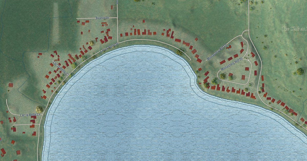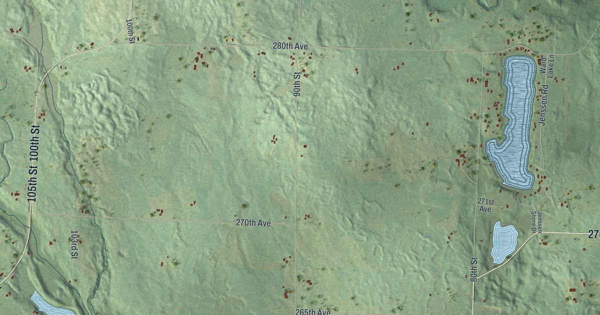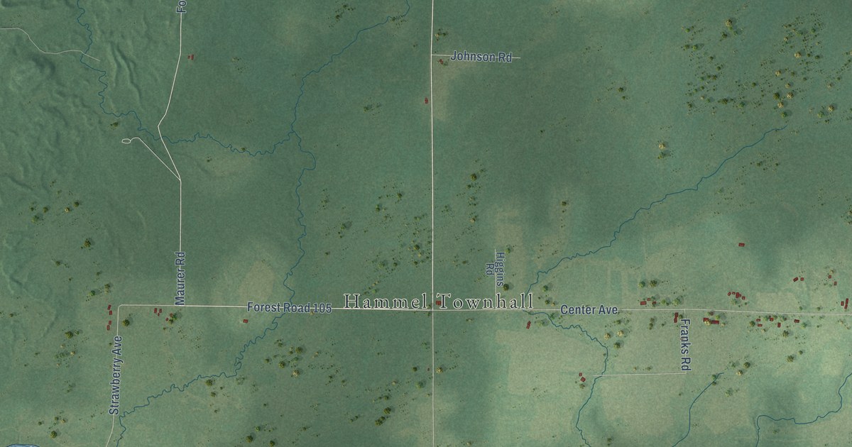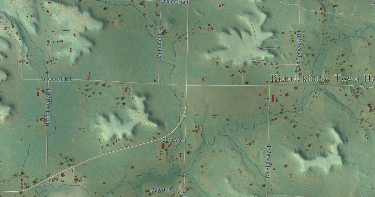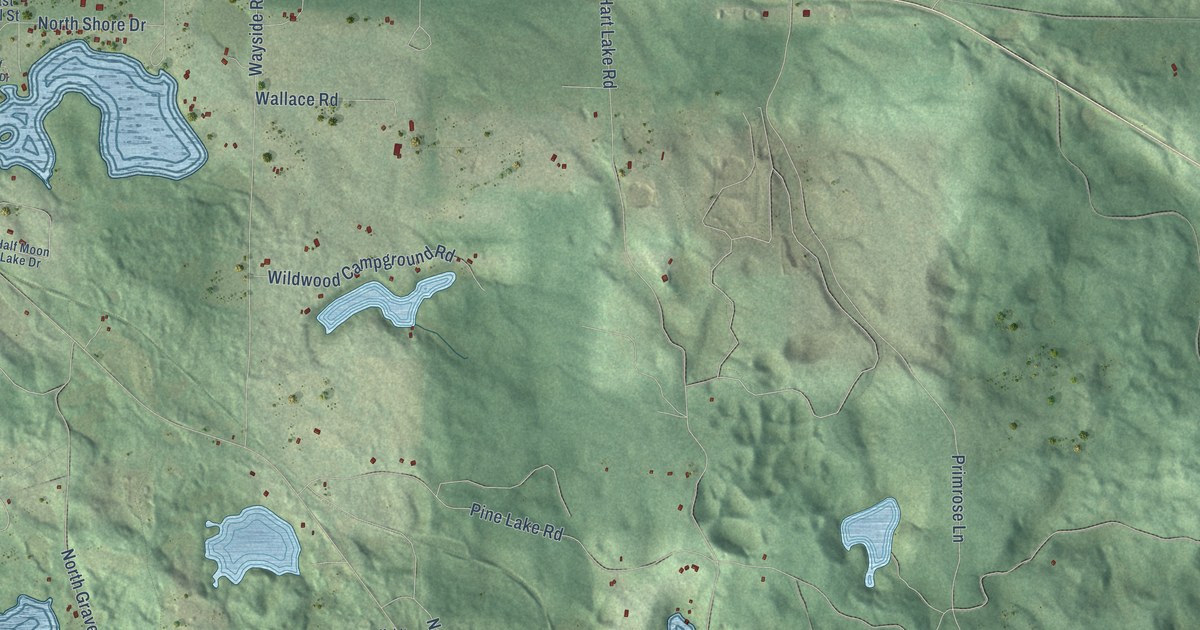
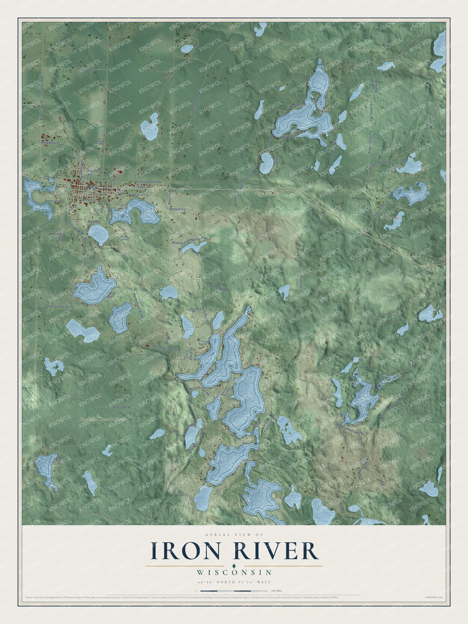
This beautifully detailed map of Iron River, Wisconsin was created in 2026 using aerial imagery combined with modern topographical, census, street and landmark data. It's a modern aerial view of Iron River in Bayfield County, Wisconsin, that combines modern data with a vintage aesthetic. The roads feature printed names, and if you look closely you can find your exact house accurately shown in its correct location.
Explore an aerial view of Iron River, Wisconsin
On this map you'll find Iron River Town Hall, Topside, Bayfield County Forest, Moon Lake Park, Mill Street, South Gravel Pit Road, Klein Road, West Spider Lake Road, Pine Lake Road, Tri County Corridor, Jackman Lake Road, North Main Street, and more. Each red shape is a building, so zoom in on the preview and look for yours.
Iron River is a town in Bayfield County. The Census Bureau counted 1,240 people here in 2020. The map prints the town name in its title panel, with the coordinates below it.
Take a closer look at the Iron River map
Names on this map
These names are printed on this map.
Places: Iron River Town Hall, Topside, Bayfield County Forest and Moon Lake Park.
Streets and roads: Mill Street, South Gravel Pit Road, Klein Road, West Spider Lake Road, Pine Lake Road, Tri County Corridor, Jackman Lake Road, North Main Street, North George Street, Crooked Lake Road, Lea Street, Hart Lake Road.
More street names, A to Z
Angus Lake Road, Buskey Bay Drive, District Avenue, East Bass Lake Road, East Crooked Lake Road, East Long Lake Road, East Mill Street, East Ruth Lake Road, Fairground Road, Fire Lake Road, Fire Tower Road, Five Island Road, Forest Road 242, Forest Road 244, Fr 647, Front Street, Half Moon Drive, Half Moon Lake Drive, Hanes Road, Hillside Lane, Hoffren Road, Iron River Dump Road, Island Boulevard, Loon Lake Road, McCarry Lake Road, Millicent Point Drive, Moon Drive, North Bohn Street, North Gravel Pit Road, North Point Drive, North Shore Drive, Norway Road, Old US Highway 2, Oneida Street, Primrose Lane, Quarter Mile Road, Range Line Road, Ridge Road, Riverside Road, Road 847, Ruth Lake Road, Scenic Drive, Sears Road, Shady Lane, South Long Lake Road, South Point Drive, South Spider Lake Road, Spider Lake Road, Staffeldt Road, Staples Avenue, Summit Avenue, Tacoma Drive, Teepee Trail, Topper Road, Topside Road, Upper Bladder Road, Wallace Road, Wayside Road, West Bass Road, West Bay Drive, West Crooked Lake Road, West Gravel Pit Road, West Long Lake Road, Wheeler Road, Wildwood Campground Road, Woodberry Lane.
Created by KNOWOL in 2026. The buildings are small red shapes, the roads carry their printed names, and shaded relief shows the shape of the land. The title panel reads "AERIAL VIEW OF IRON RIVER, WISCONSIN" with 46°34' NORTH 91°24' WEST.
It suits a den, a classroom or a front hall, and it makes a gift for anyone with Iron River roots. Open the preview and find the block you know. See sizes and frames for the Iron River map.