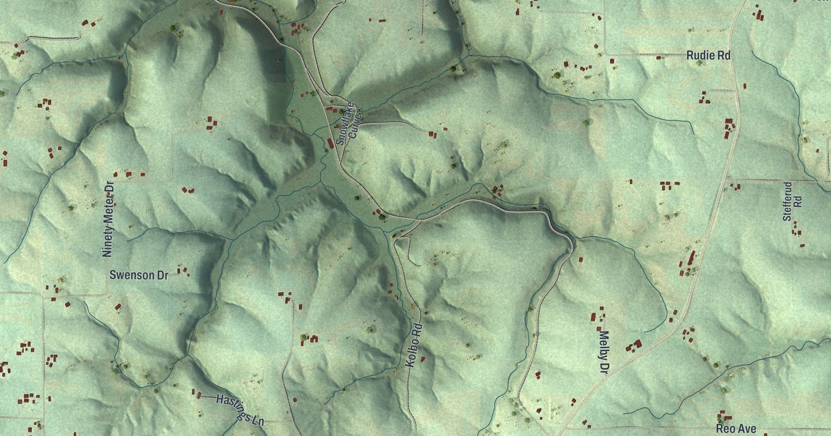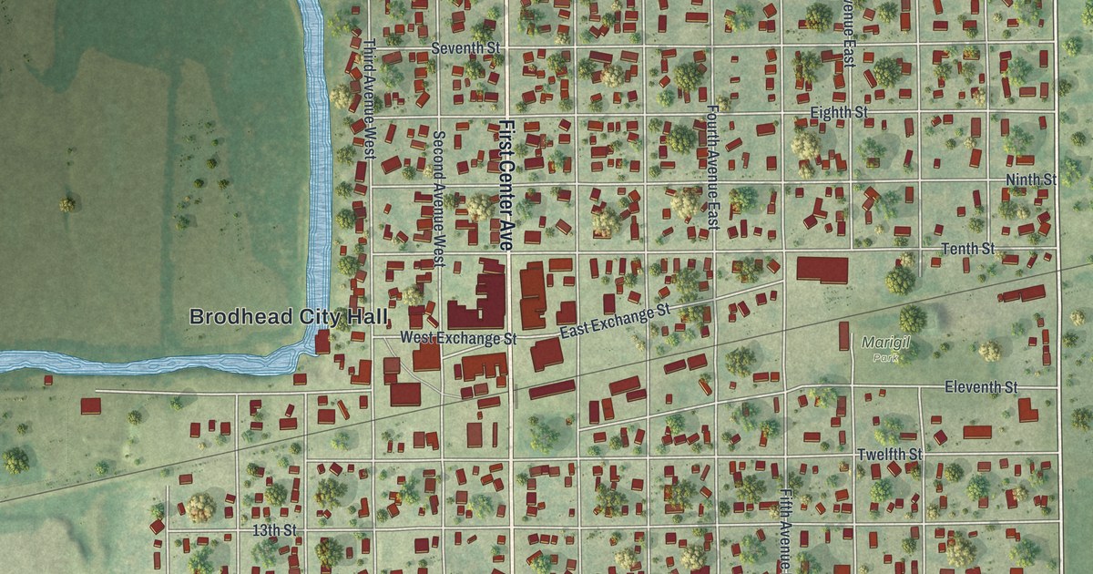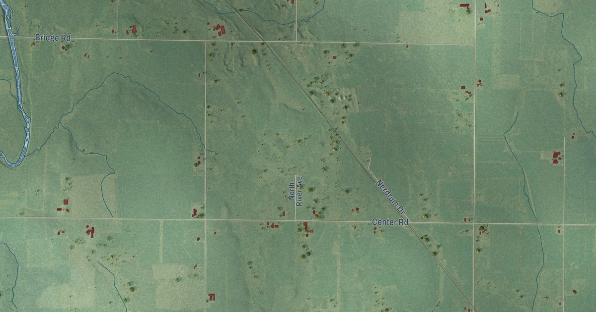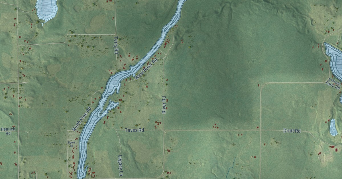
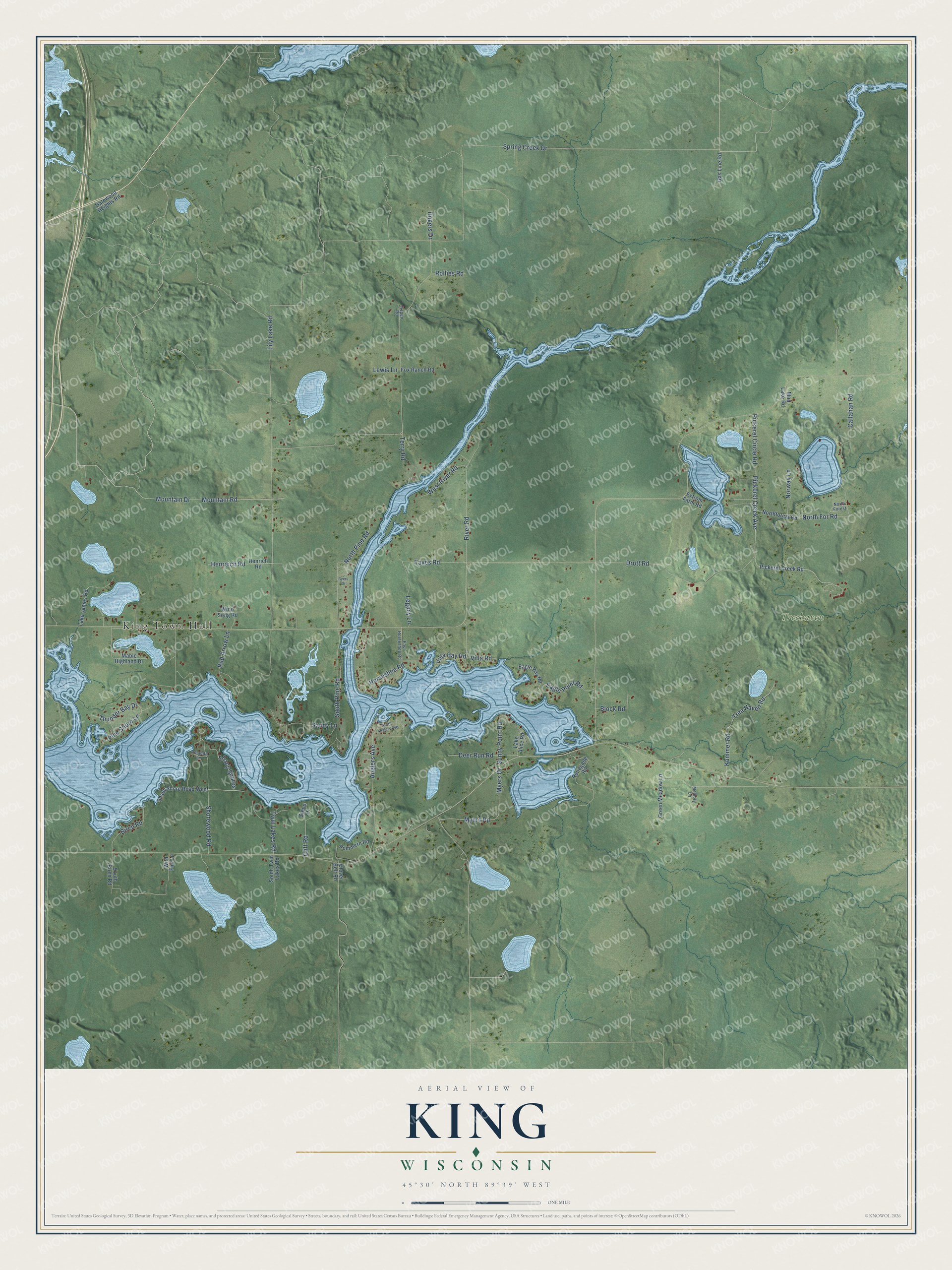
This beautifully detailed map of King, Wisconsin was created in 2026 using aerial imagery combined with modern topographical, census, street and landmark data. It's a modern aerial view of King in Lincoln County, Wisconsin, that combines modern data with a vintage aesthetic. The roads feature printed names, and if you look closely you can find your exact house accurately shown in its correct location.
Explore an aerial view of King, Wisconsin
On this map you'll find King Town Hall, Treehaven, Spring Creek Drive, Mountain Road, Kummer Road, Pickerel Creek Avenue, Lily Lake Road, Pickerel Circle Road, Mountain Drive, Pine Shore Lane, Drott Road, Anglers Avenue, and more. Each red shape is a building, so zoom in on the preview and look for yours.
King has a story worth telling. The Historical Marker Database puts it this way: "Vast forests of virgin white pine were the treasure which brought the first wave of white settlers to Northern Wisconsin."
King is a town in Lincoln County. The Census Bureau counted 964 people here in 2020.
Take a closer look at the King map
Names on this map
These names are printed on this map.
Places: King Town Hall and Treehaven.
Streets and roads: Spring Creek Drive, Mountain Road, Kummer Road, Pickerel Creek Avenue, Lily Lake Road, Pickerel Circle Road, Mountain Drive, Pine Shore Lane, Drott Road, Anglers Avenue, North Pine Road, River Road.
More street names, A to Z
Amanda Lane, Aspen Road, Birch Road, Block Road, Byers Drive, Callahan Road, Cliff Road, Clover Belt Road, Deer Run Road, Eagle Bay Road, Eagle Point Road, East Horseshoe Road, Extrom Farm Road, Fox Ranch Road, Gas Line Road, Gatewood Heights Road, Green Meadow Lane, Henreich Road, Henrich Road, Horseshoe Road, Lake Alice Road, Lake James Road, Legacy Lane, Lewis Lane, Mable Highland Drive, Memory Lane, Mud Lake Road, Myers Drive, Myers Road, North Anglers Avenue, North Forest, Northforest Road, North For Road, Norway Lane, Pickerel Creek Road, Pommern Road, Red Arrow Lane, Renegade Road, Rogers Drive, Rollies Road, Sandy Lane, Shady Shore Road West, Shady Shores, Shorewood Road, South Birch Road, South Pine Road, South Twin Lakes Road, Steep Drive, Sunny Point Road, Taves Road, Terry Road, Thunder Bay Drive, Tree Haven Road, Twin Lakes Road, Villa Bay Road, Villa Road, West River Road, Wild Fire Lane, Wind Song Road.
Created by KNOWOL in 2026. The buildings are small red shapes, the roads carry their printed names, and shaded relief shows the shape of the land. The title panel reads "AERIAL VIEW OF KING, WISCONSIN" with 45°30' NORTH 89°39' WEST.
It looks right in a kitchen, an office or a den, and it's a gift for anyone who grew up in King or moved away. Open the preview and find your street. See sizes and frames for the King map.