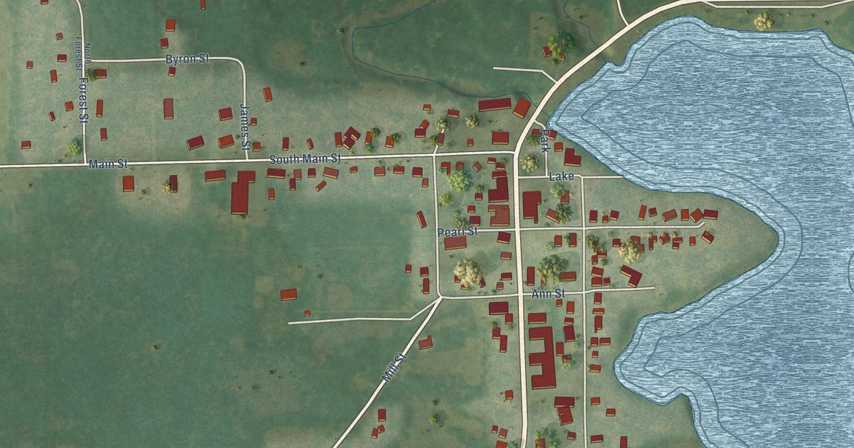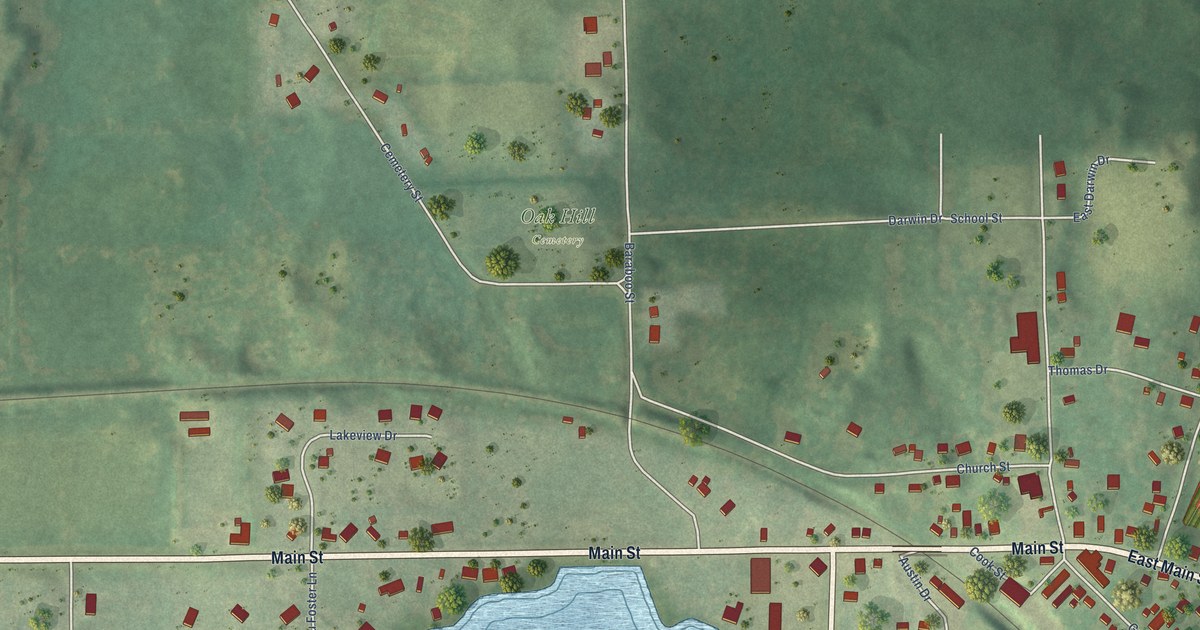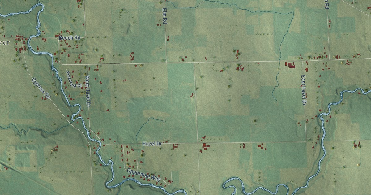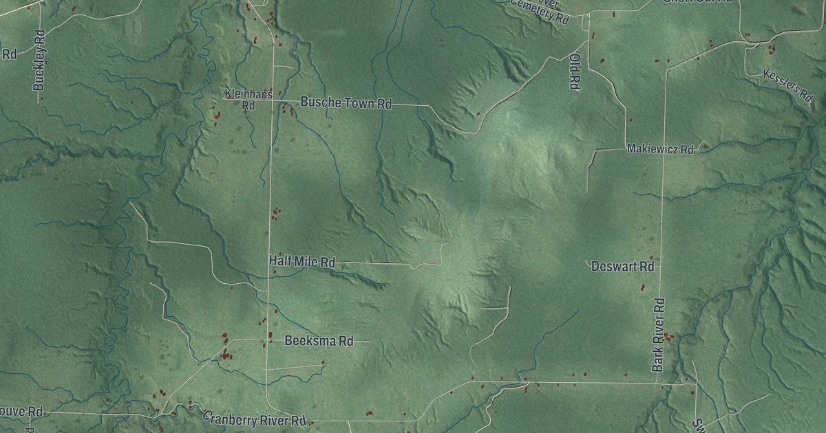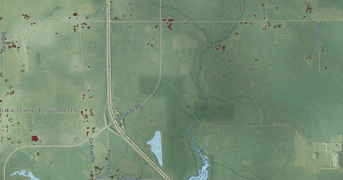
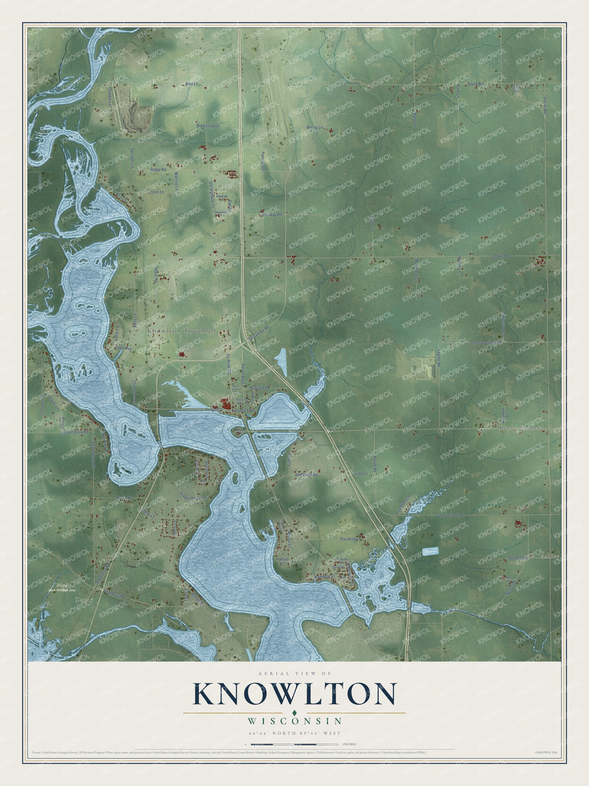
This beautifully detailed map of Knowlton, Wisconsin was created in 2026 using aerial imagery combined with modern topographical, census, street and landmark data. It's a modern aerial view of Knowlton in Marathon County, Wisconsin, that combines modern data with a vintage aesthetic. The roads feature printed names, and if you look closely you can find your exact house accurately shown in its correct location.
Explore an aerial view of Knowlton, Wisconsin
On this map you'll find Knowlton Townhall, Ashley, Dancy, Mead State Wildlife Area, Rocky Corners, Balsam Fir Road, Chickadee Lane, Seagull Drive, Gail Lane, Co Road Db, Locker Road, Old Highway 51, and more. Each red shape is a building, so zoom in on the preview and look for yours.
Knowlton has a story worth telling. The Marathon County History puts it this way: "The Catholic St. Paul's Church was built in 1878 and soon afterwards had a resident priest who also attended to the mission churches in the town of Emmett and in the town of Knowlton."
Knowlton is a town in Marathon County. The Census Bureau counted 1,984 people here in 2020.
Take a closer look at the Knowlton map
Names on this map
These names are printed on this map.
Places: Knowlton Townhall, Ashley, Dancy, Mead State Wildlife Area and Rocky Corners.
Streets and roads: Balsam Fir Road, Chickadee Lane, Seagull Drive, Gail Lane, County Road Db, Locker Road, Old Highway 51, Dubay Drive, South Road, Saint Johns Road, Sandy Creek Road, Bird Lane.
More street names, A to Z
Alicia Lane, Altenburg Road, Ashley Road, Benny Lane, Crest Lane, Depot Road, Dorie Lane, Dupuis Lane, Feit Road, Fiet Road, Gorski Road, Gosh Drive, Greenview Drive, Hahn Lane, Hajec Lane, Harmony Lane, Hidden Cove Lane, Hidden Ponds Drive, Hollyhock Lane, Hosta Road, Hrebik Lane, Irish Lane, Johns Lane, Johnson Creek Road, Kane Lane, Kesy Lane, Kettle Lane, Knowlton Road, Kris Lane, Kunzman Lane, Legner Road, Lone Pine Lane, Lunar Lane, Marlin Lane, Martino Lane, Mead Lane, Mill Creek Lane, Mondroski Lane, Mount Vista Road, Old Dancy Road, Paetsch Lane, Palm Tree Lane, Paradise Lane, Parrot Bay Lane, Pawlak Lane, Phils Lane, Piper Cub Lane, Pride Lane, Rays Way, Red Brick Road, Redfield Road, Ridge Road, Rozak Road, Runway Road, Sandy Bay Lane, Sharon Lane, Springer Lane, Sunnyside Lane, Sunset Drive, Swatlowski Road, Tula Lane, Valley Vista Drive, Vallie Lane, Wambold Drive, Waterview Drive, Whispering Oaks Trail, Wilcox Lane, Windy Lane.
Created by KNOWOL in 2026. The buildings are small red shapes, the roads carry their printed names, and shaded relief shows the shape of the land. The title panel reads "AERIAL VIEW OF KNOWLTON, WISCONSIN" with 44°44' NORTH 89°41' WEST.
It looks right in a kitchen, an office or a den, and it's a gift for anyone who grew up in Knowlton or moved away. Open the preview and find your street. See sizes and frames for the Knowlton map.