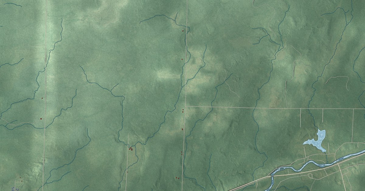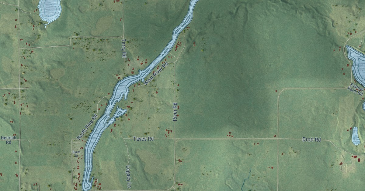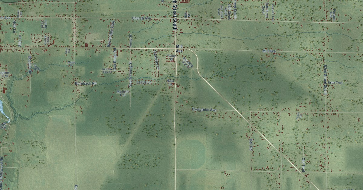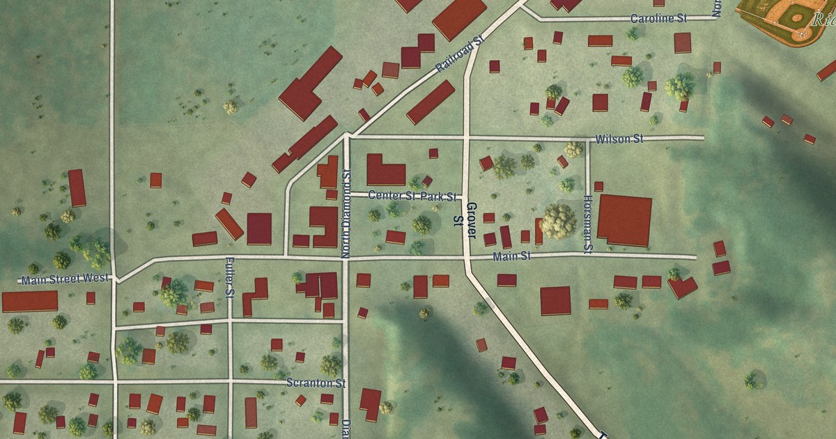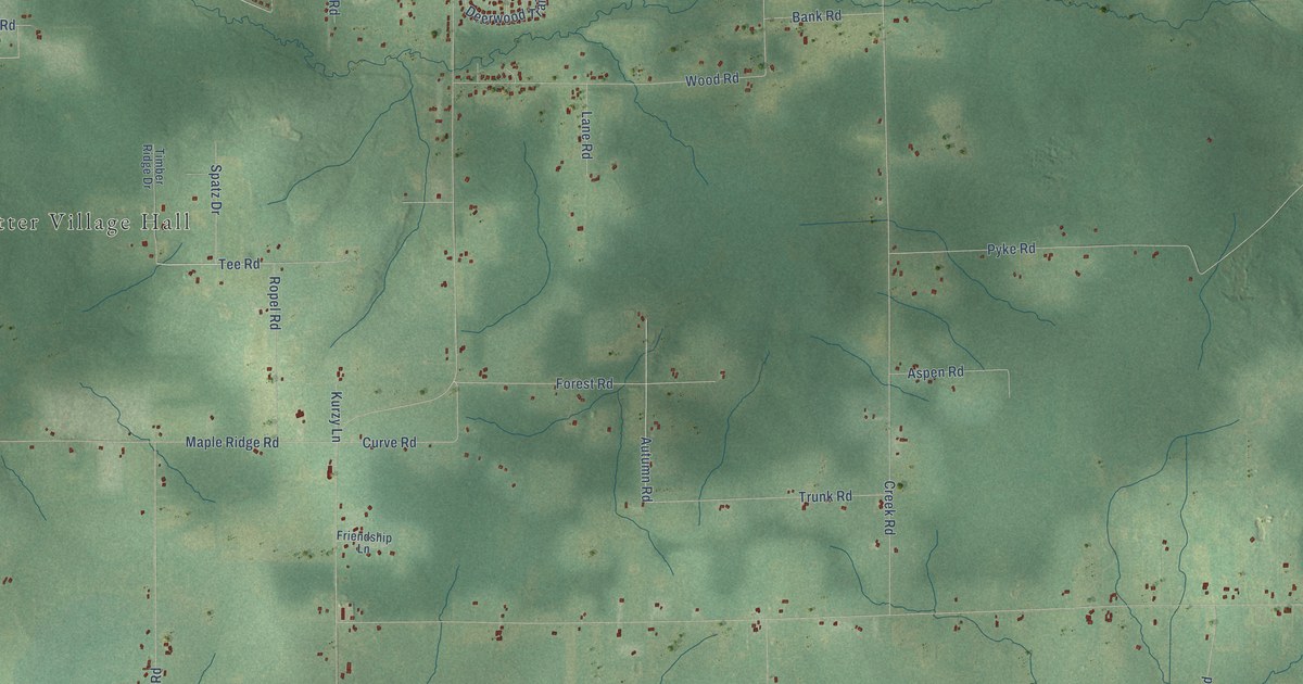
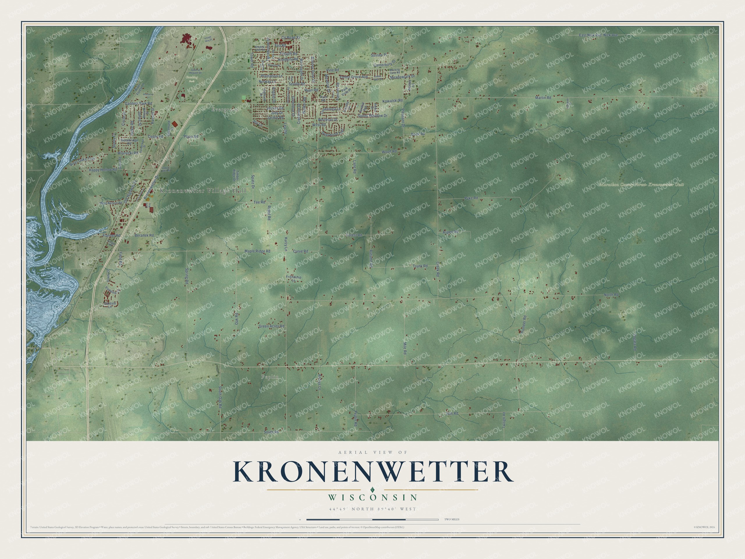
This beautifully detailed map of Kronenwetter, Wisconsin was created in 2026 using aerial imagery combined with modern topographical, census, street and landmark data. It's a modern aerial view of Kronenwetter in Marathon County, Wisconsin, that combines modern data with a vintage aesthetic. The roads feature printed names, and if you look closely you can find your exact house accurately shown in its correct location.
Explore an aerial view of Kronenwetter, Wisconsin
On this map you'll find Kronenwetter Village Hall, Evergreen, Peplin, Gooding Park, Marathon County Forest- Kronenwetter Unit, Ropel Road, Forest Grove Avenue, Walker Road, Meadowlark Drive, Nick Avenue, East Nick Avenue, North Road, and more. Each red shape is a building, so zoom in on the preview and look for yours.
Here is a piece of Kronenwetter history, in the words of the record. The Internet Archive puts it this way: "William Gouldsbury bought the property in 1862, rebuilt the mill, oper-
ated it until 1870, when he sold it to Sebastion Kronenwetter, who in turn
operated until 1903, when sawing on this creek ended."
Kronenwetter is a village in Marathon County. The Census Bureau counted 8,353 people here in 2020.
Take a closer look at the Kronenwetter map
Names on this map
These names are printed on this map.
Places: Kronenwetter Village Hall, Evergreen, Peplin, Gooding Park and Marathon County Forest- Kronenwetter Unit.
Streets and roads: Ropel Road, Forest Grove Avenue, Walker Road, Meadowlark Drive, Nick Avenue, East Nick Avenue, North Road, Pine Road, Martin Road, Old Highway 51, Kronenwetter Drive, 16th Road.
More street names, A to Z
Amber Drive, Andrys Lane, Angelo Drive, Aspen Road, Autumn Road, Bank Road, Beranek Road, Blueberry Lane, Bluejay Lane, Bonney Dune Drive, Canterbury Drive, Cedar Road, Circle Drive, Conestoga Lane, County Road Xx, Creciente Drive, Creek Road, Curve Road, Deerwood Trail, Dons Way, Downing Drive, Eva Road, Field Road, Flanner Road, Forest Road, Forsyth Road, Friendship Lane, Gardner Park Road, Gate of Heaven Drive, Glade Court, Glendalen Road, Golden Eagle Road, Grant Road, Green Acres Road, Greenbud Drive, Happy Hollow Road, Helke Road, Highland Drive, Jackie Road, Jakes Lake Road, James Street, Jaynes Road, Joy Lane, Judy Drive, Kimberly Road, Kowalski Road, Kurzy Lane, Lane Road, Lea Road, Manatee Road, Maple Ridge Road, Meadow Drive, Mile Road, Morning Dove Road, Morningside Drive, Norway Lane, Oakdale Lane, Oak Road, Paniolo Road, Park Road, Park Vista Place, Pear Drive, Peplin Road, Pinedale Lane, Pine Grove Drive, Pioneer Road, Plantation Lane, Plaza Road, Pleasant Drive, Plum Road, Pyke Road, Queenland Drive, River Forest Lane, River Oaks Trail, Ronald Street, Ruby Drive, Russell Street, Ryan Road, Schmidt Place, Seville Road, Shadow Lawn Road, South Oak Road, South Road, Spatz Drive, Spring Road, Stonebridge Road, Sundial Avenue, Sunny Court, Sunny Meadow Drive, Sussex Place, Tee Road, Terrebonne Drive, Timber Ridge Drive, Timothy Lane, Tower Road, Trunk Road, Twilight Road, Vanderwaal Street, Village Road, Village Way Drive, West Nelson Road, West Road, Whitetail Drive, Wianecki Road, Wood Road, Zogata Road.
Created by KNOWOL in 2026. The buildings are small red shapes, the roads carry their printed names, and shaded relief shows the shape of the land. The title panel reads "AERIAL VIEW OF KRONENWETTER, WISCONSIN" with 44°49' NORTH 89°40' WEST.
It suits a den, a classroom or a front hall, and it makes a gift for anyone with Kronenwetter roots. Open the preview and find the block you know. See sizes and frames for the Kronenwetter map.