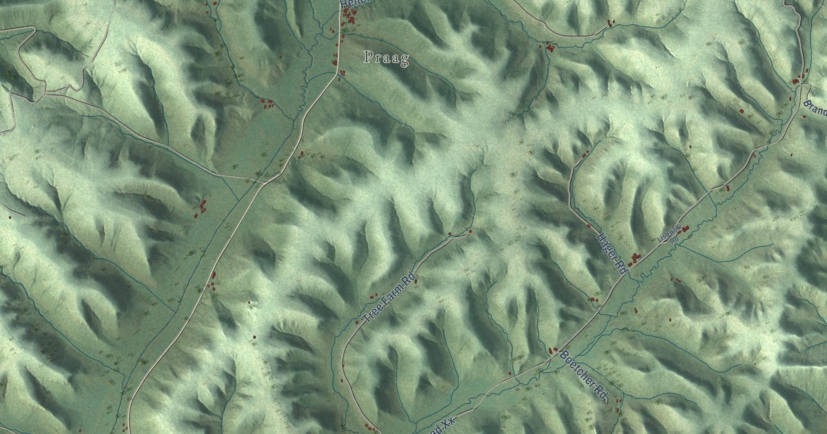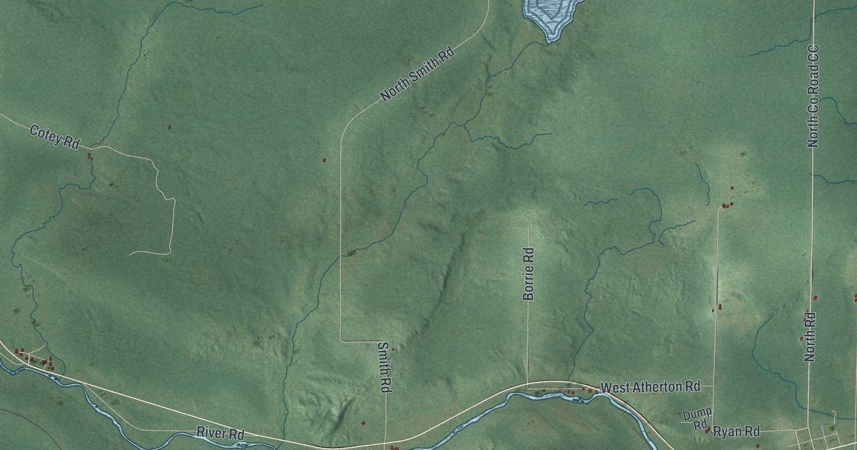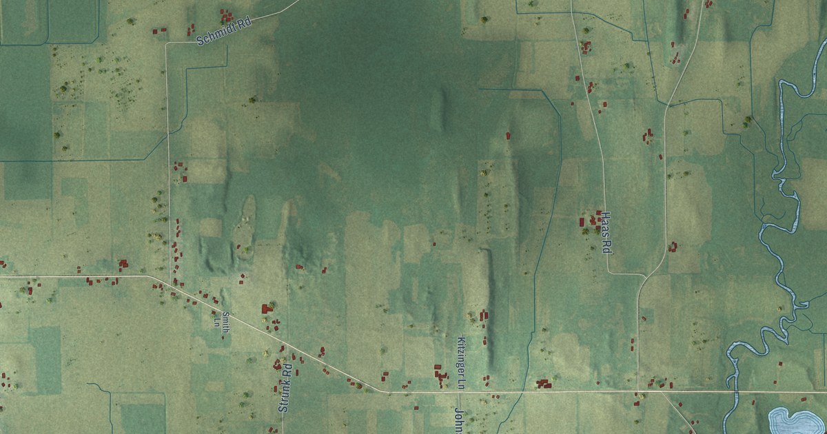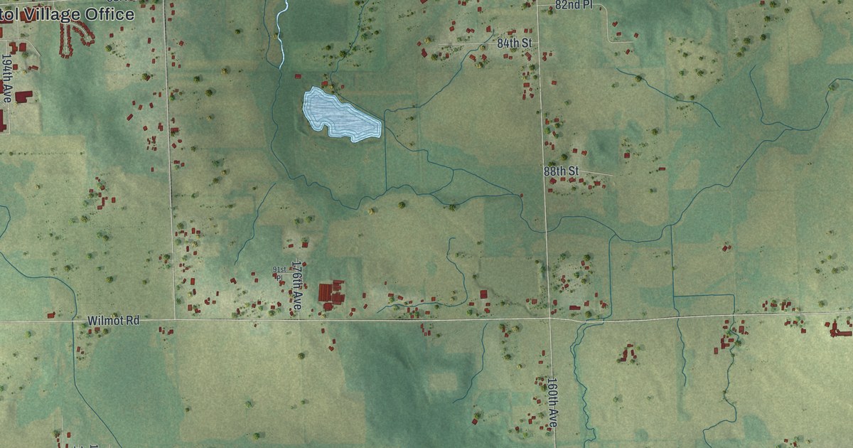
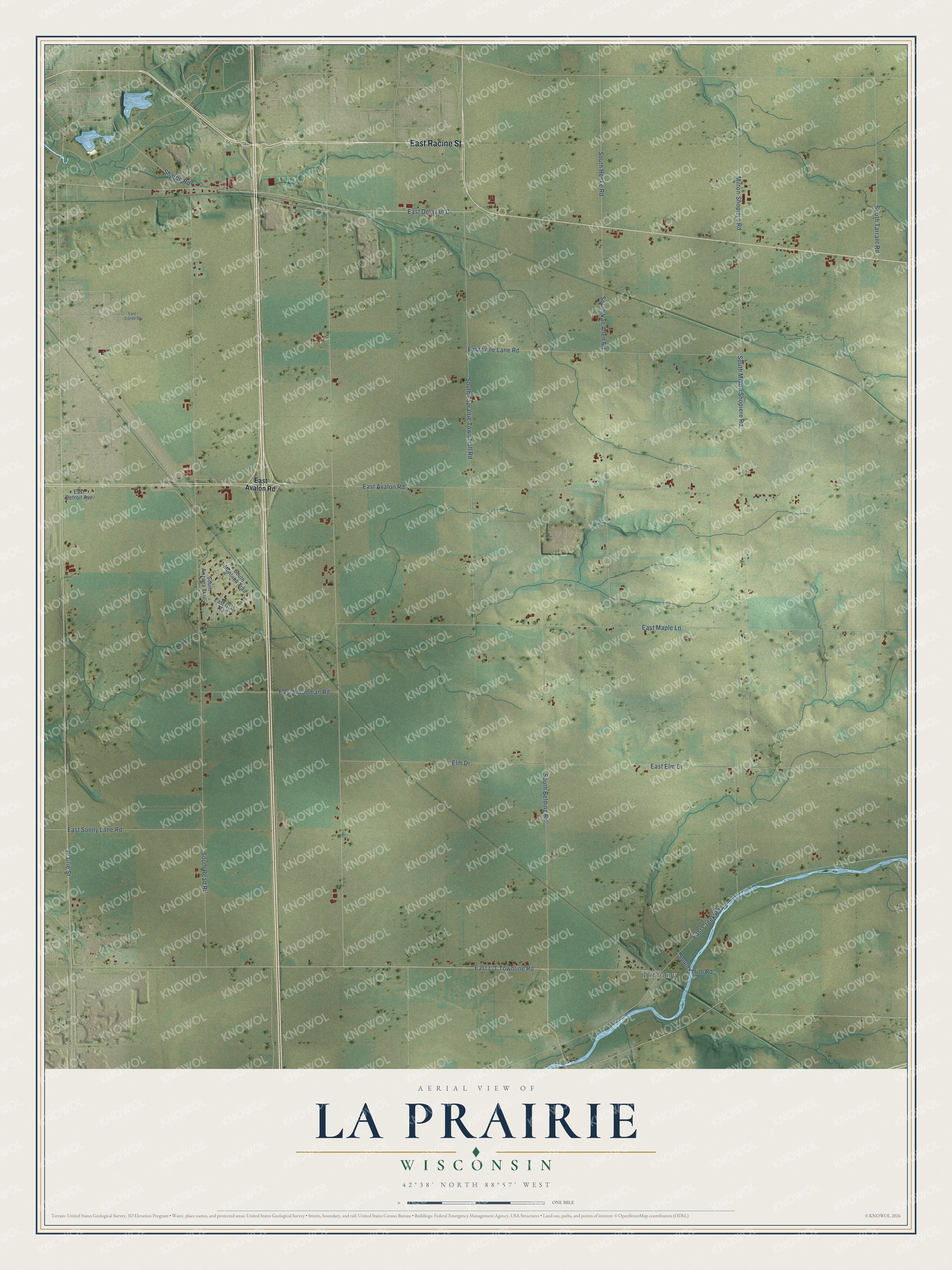
This beautifully detailed map of La Prairie, Wisconsin was created in 2026 using aerial imagery combined with modern topographical, census, street and landmark data. It's a modern aerial view of La Prairie in Rock County, Wisconsin, that combines modern data with a vintage aesthetic. The roads feature printed names, and if you look closely you can find your exact house accurately shown in its correct location.
Explore an aerial view of La Prairie, Wisconsin
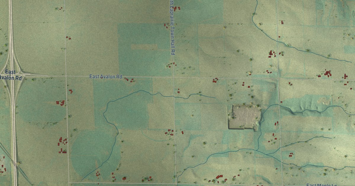
On this map you'll find Tiffany, East Racine Street, East L-T Townline Road, Prairie Street, East Delavan Drive, Sharon Road, East Avalon Road, Milton-Shopiere Road, South Henke Road, South Read Road, East Maple Lane, South Milton Shopiere Road, and more. Each red shape is a building, so zoom in on the preview and look for yours.
Here is a piece of La Prairie history, in the words of the record. The Biographical Album of Rock County puts it this way: "Later the north half of township 2 was detached, and became a part of La Prairie. The first town meeting was held at Mt. Zion school-house, April 4, 1848."
La Prairie is a town in Rock County. The Census Bureau counted 784 people here in 2020.
Take a closer look at the La Prairie map
Names on this map
These names are printed on this map.
Places: Tiffany.
Streets and roads: East Racine Street, East L-T Townline Road, Prairie Street, East Delavan Drive, Sharon Road, East Avalon Road, Milton-Shopiere Road, South Henke Road, South Read Road, East Maple Lane, South Milton Shopiere Road, South Laprairie Town Hall Road.
More street names, A to Z
East Conde Street, East Creek Road, East Detroit Avenue, East Elm Drive, East Lone Lane Road, East Sunny Lane Road, East Utah Trail, East Woodman Road, Elm Drive, South Arizona Trail, South Belding Road, South Montana Trail, South Smith Road, South Tarrant Road, South Van Allen Road.
Created by KNOWOL in 2026. The buildings are small red shapes, the roads carry their printed names, and shaded relief shows the shape of the land. The title panel reads "AERIAL VIEW OF LA PRAIRIE, WISCONSIN" with 42°38' NORTH 88°57' WEST.
It suits a den, a classroom or a front hall, and it makes a gift for anyone with La Prairie roots. Open the preview and find the block you know. See sizes and frames for the La Prairie map.