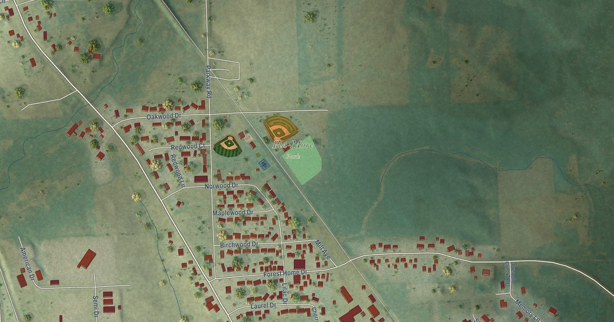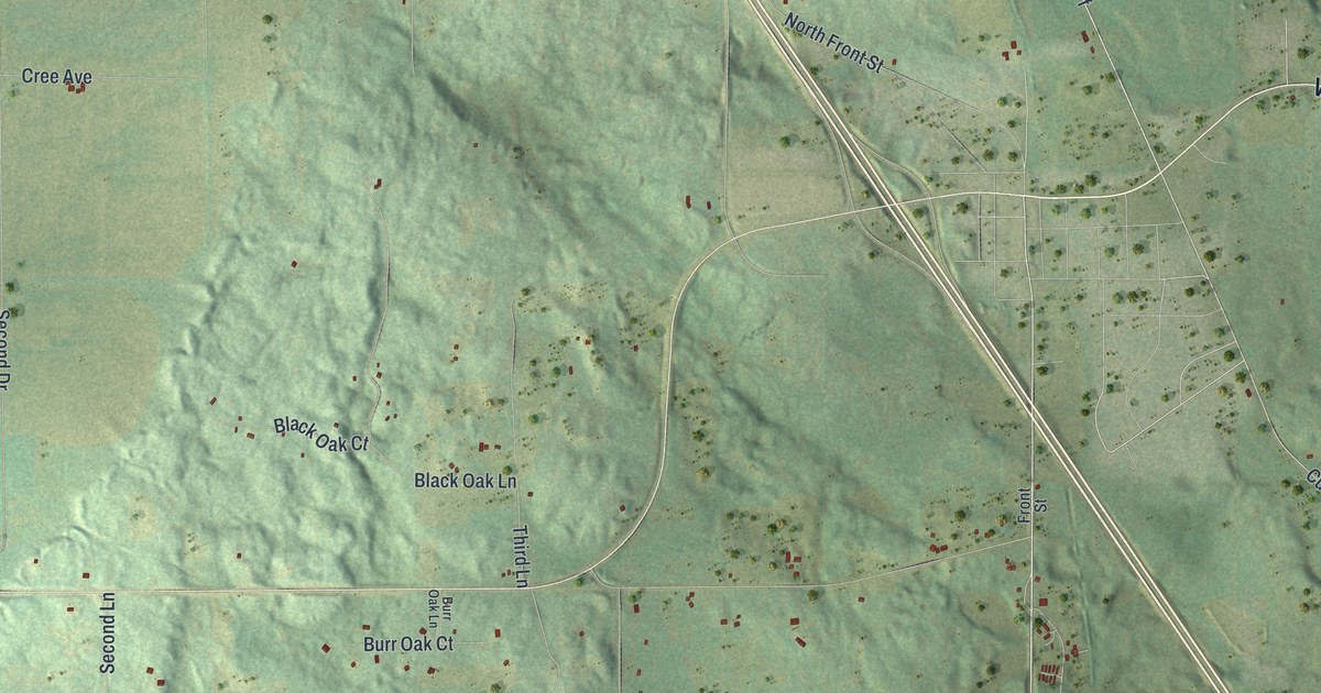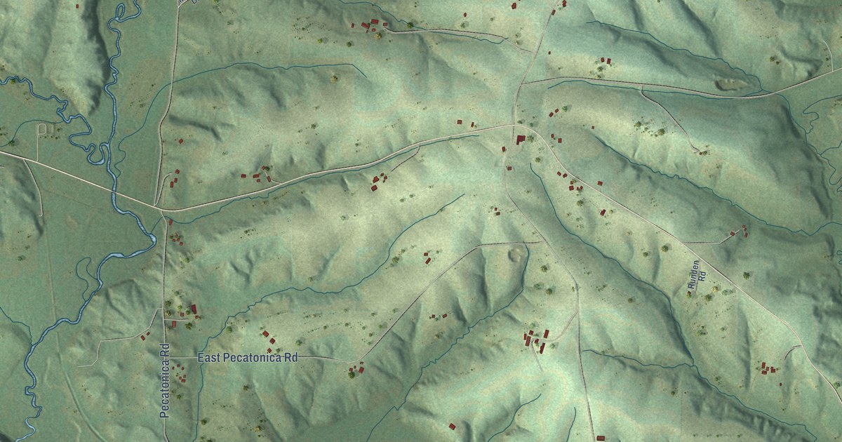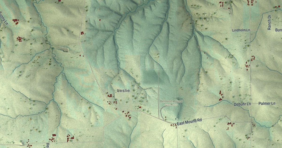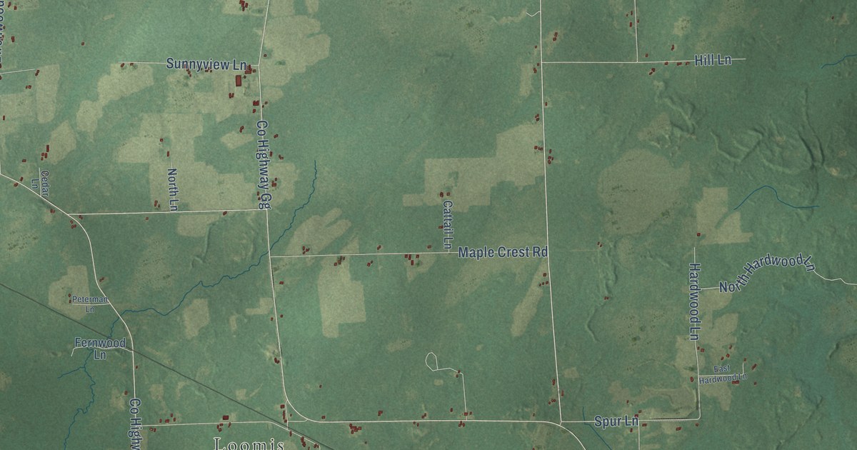
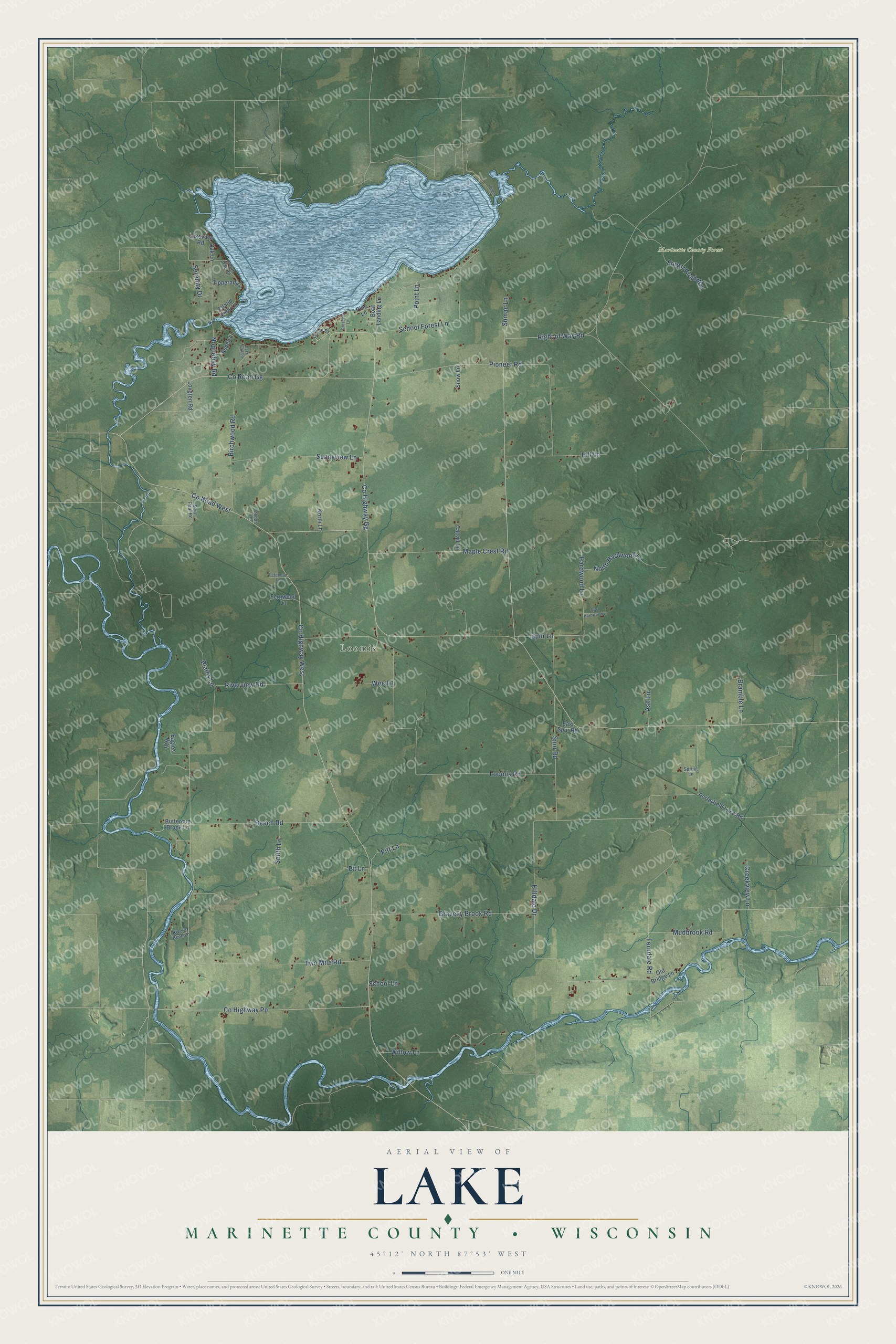
This beautifully detailed map of Lake, Wisconsin was created in 2026 using aerial imagery combined with modern topographical, census, street and landmark data. It's a modern aerial view of Lake in Marinette County, Wisconsin, that combines modern data with a vintage aesthetic. The roads feature printed names, and if you look closely you can find your exact house accurately shown in its correct location.
Explore an aerial view of Lake, Wisconsin
On this map you'll find Loomis, Marinette County Forest, Right of Way Road, Co Highway West, Co Road West, Riverview Road, Co Highway Gg, Co Road Gg, Hilldale Drive, Loomis Road, Pioneer Road, Ferndale Road, and more. Each red shape is a building, so zoom in on the preview and look for yours.
Every town has a first chapter, and Lake is no exception. The Historical Marker Database puts it this way: "Newman built a 30-foot high dam where Dell Creek entered the Wisconsin River and a 1,000-foot long earthen dike along-side the dam to impound the lake."
Lake is a town in Marinette County. The Census Bureau counted 1,186 people here in 2020.
Take a closer look at the Lake map
Names on this map
These names are printed on this map.
Places: Loomis and Marinette County Forest.
Streets and roads: Right of Way Road, County Highway West, County Road West, Riverview Road, County Highway Gg, County Road Gg, Hilldale Drive, Loomis Road, Pioneer Road, Ferndale Road, Birchwood Road, Spur Road.
More street names, A to Z
Ash Lane, Aspen Lane, Beech Road, Boat Landing Lane, Bramble Lane, Buttercup Brook Lane, Cattail Lane, Cedar Lane, Circle Drive, County Highway Pp, Creekview Lane, Crescent Lane, Deer Trail Lane, Eagles Way, East Hardwood Lane, East Spur Road, Fernwood Lane, Forest Road 801, Gravelly Brook Road, Hardwood Lane, Hill Lane, Indian Bay Road, Island View Lane, Lakeview Road, Lovgren Road, Maple Crest Road, Mudbrook Road, Noquebay Road, North Hardwood Lane, North Lane, Oak Lane, Old Bridge Lane, Peterman Lane, Pine Lane, Pines Lane, Pit Lane, Pitt Lane, Plains Lane, Point Lane, Porterfield Lake Road, River's Bend Lane, Saint Paul Road, School Forest Lane, School Lane, Serenity Drive, Snow Lane, South Lane, Spring Lane, Spur Lane, Sumac Lane, Sunnyview Lane, Tipperary Lane, Two Mile Road, Wee Lane, Willow Lane.
Created by KNOWOL in 2026. The buildings are small red shapes, the roads carry their printed names, and shaded relief shows the shape of the land. The title panel reads "AERIAL VIEW OF LAKE, MARINETTE COUNTY • WISCONSIN" with 45°12' NORTH 87°53' WEST.
Hang it in the hallway, the office or the cabin, or give it to someone who left Lake and still calls it home. Open the preview and look for a street you know. See sizes and frames for the Lake, Marinette County map.