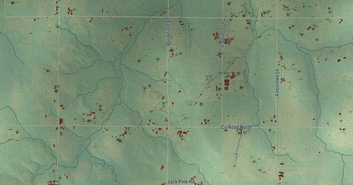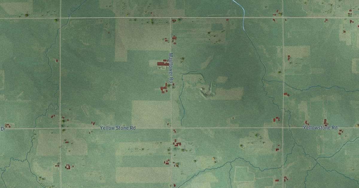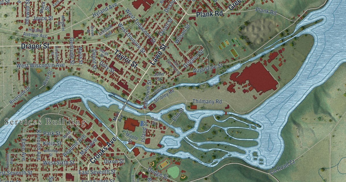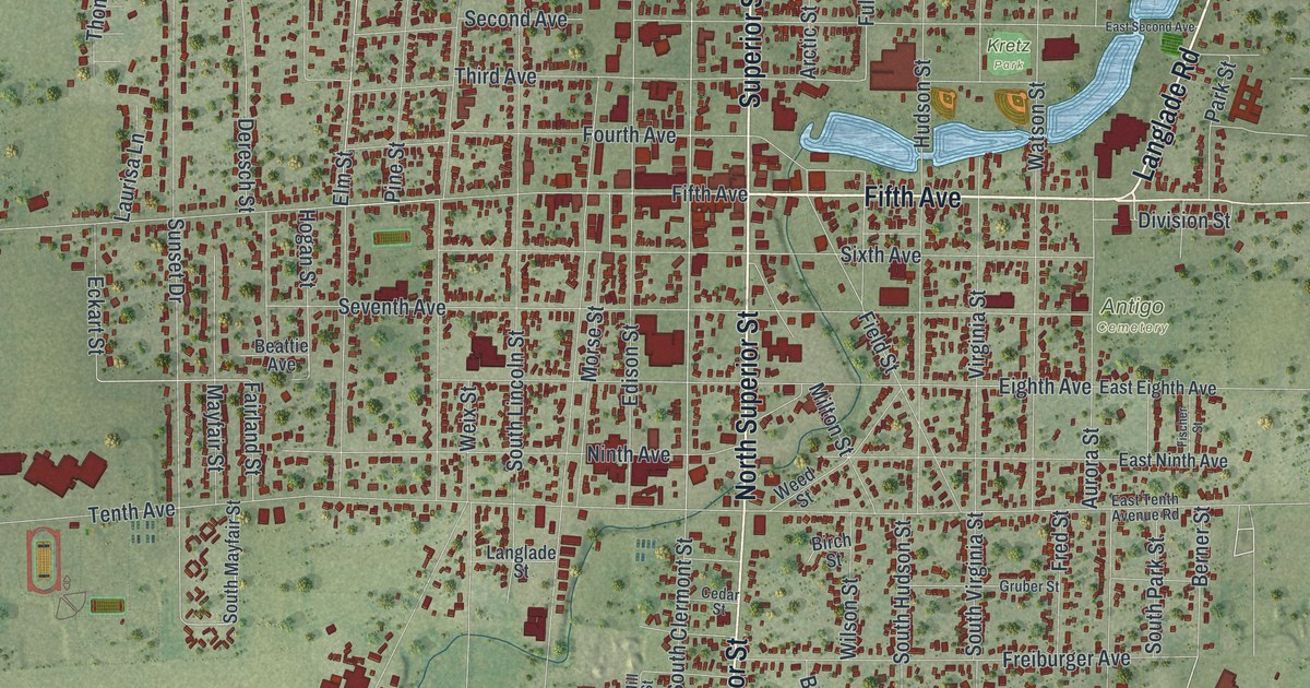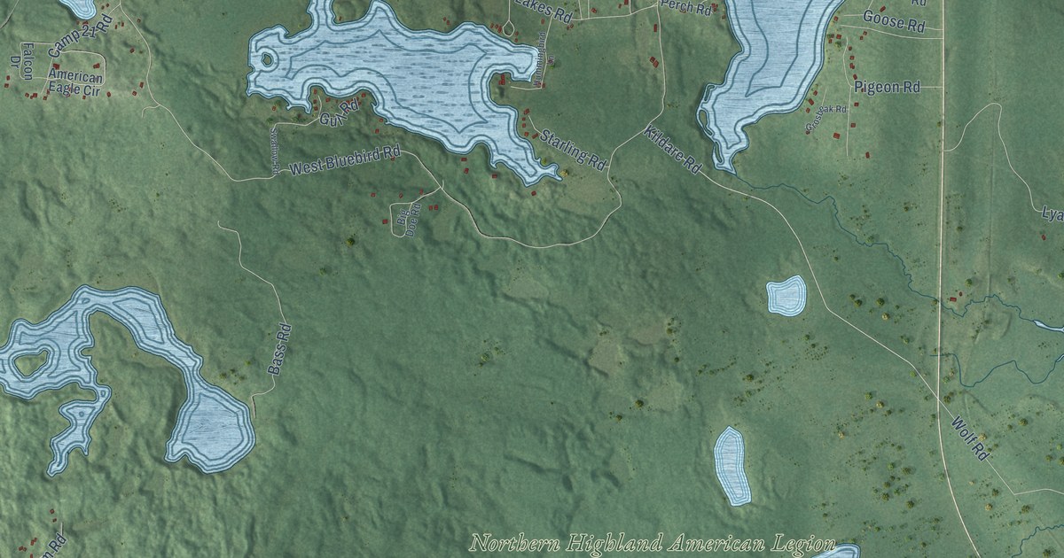
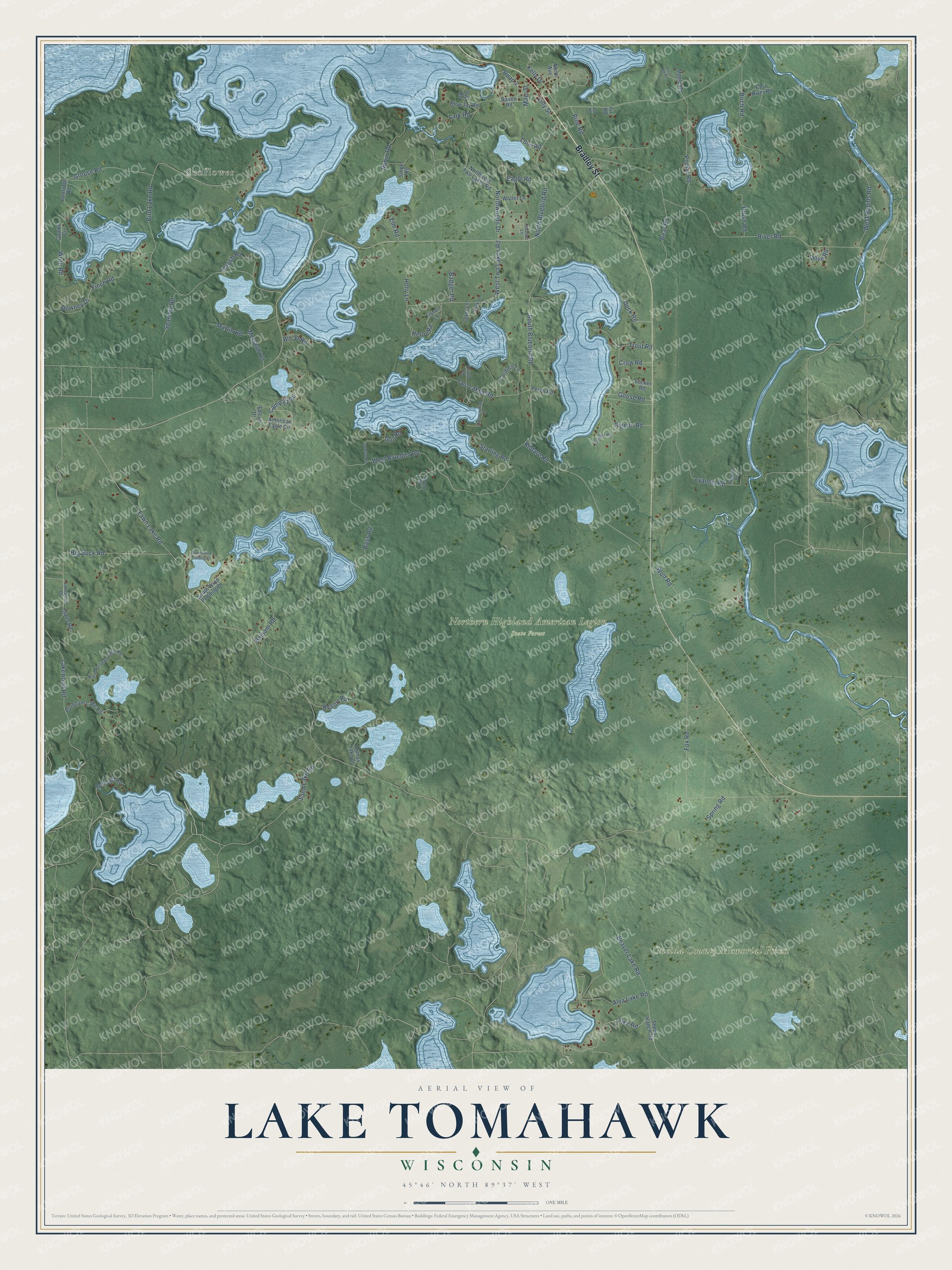
This beautifully detailed map of Lake Tomahawk, Wisconsin was created in 2026 using aerial imagery combined with modern topographical, census, street and landmark data. It's a modern aerial view of Lake Tomahawk in Oneida County, Wisconsin, that combines modern data with a vintage aesthetic. The roads feature printed names, and if you look closely you can find your exact house accurately shown in its correct location.
Explore an aerial view of Lake Tomahawk, Wisconsin
On this map you'll find Sunflower, Northern Highland American Legion State Forest, Oneida County Memorial Forest, Bradley Street, Pike Road, Kildare Road, Fawn Lake Road, Bird Lake Road, West Bluebird Road, River Road, Lakewood Road, South Bluebird Road, and more. Each red shape is a building, so zoom in on the preview and look for yours.
Lake Tomahawk is a town in Oneida County. The Census Bureau counted 1,155 people here in 2020. The map prints the town name in its title panel, with the coordinates below it.
Take a closer look at the Lake Tomahawk map
Names on this map
These names are printed on this map.
Places: Sunflower, Northern Highland American Legion State Forest and Oneida County Memorial Forest.
Streets and roads: Bradley Street, Pike Road, Kildare Road, Fawn Lake Road, Bird Lake Road, West Bluebird Road, River Road, Lakewood Road, South Bluebird Road, Beaver Lake Road, West Two Lakes Road, Fox Road.
More street names, A to Z
Alva Lake Road, American Eagle Circle, Ash Road, Badger Road, Balsam Road, Bass Road, Bear Road, Bertland Road, Big Buck Road, Big Doe Road, Birch Road, Blue Jay Road, Brush Road, Burnham Lake Road, Camp 21 Road, Cardinal Lane, Crow Road, Dove Road, Downey Drive, Duck Road, Eagle Road, East River Road, Elm Road, Falcon Drive, Fern Hill Road, Finch Road, Fir Road, Fisher Lane, Flicker Road, Gaulke Circle, Glaub Road, Goose Road, Grosbeak Road, Grouse Road, Gull Road, Heron Road, Hideout Lane, Holly Lane, Hummingbird Lane, Kelly Drive, Lakewood Drive, Lark Road, Lilly Street, Loon Road, Luman Lake Drive, Lyannis Road, Main Street, Maple Road, Martin Road, McGarth Road, Mink Lane, North Avenue, North Bluebird Road, North Burnham Lake Road, Northwest Two Lakes Road, North Wind Pudding Drive, Northwoods Drive, Oriole Road, Otter Lane, Owl Road, Packers Road, Partridge Road, Perch Road, Pigeon Road, Pine Road, Poplar Road, Raven Road, Resort Road, Road 2, Robin Road, Sand Lake Road, Sheep Ranch Road, Snipe Road, South Wind Pudding Drive, Sparrow Road, Spring Road, Starling Road, Swallow Road, Thrush Road, Trout Road, Two Lakes Road, West Rapids Road, Wil Jo Road, Wolf Road, Woller Lane, Wren Road.
Created by KNOWOL in 2026. The buildings are small red shapes, the roads carry their printed names, and shaded relief shows the shape of the land. The title panel reads "AERIAL VIEW OF LAKE TOMAHAWK, WISCONSIN" with 45°46' NORTH 89°37' WEST.
Hang it in the hallway, the office or the cabin, or give it to someone who left Lake Tomahawk and still calls it home. Open the preview and look for a street you know. See sizes and frames for the Lake Tomahawk map.