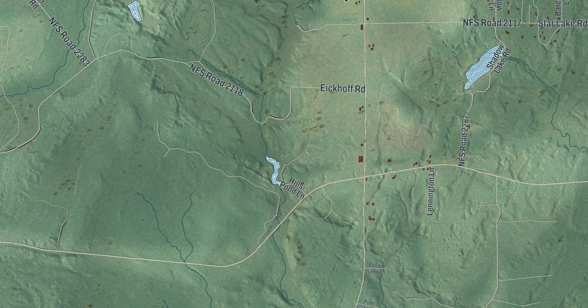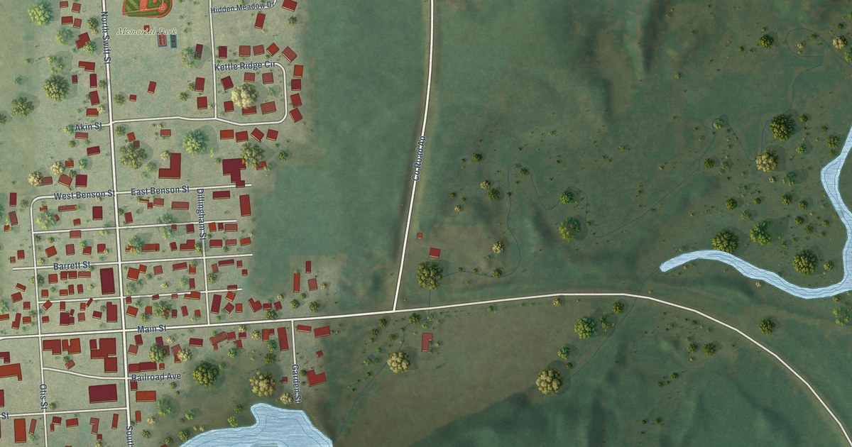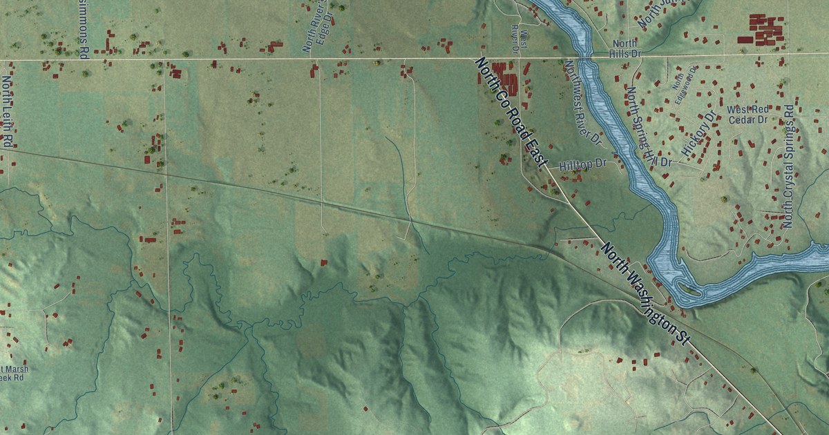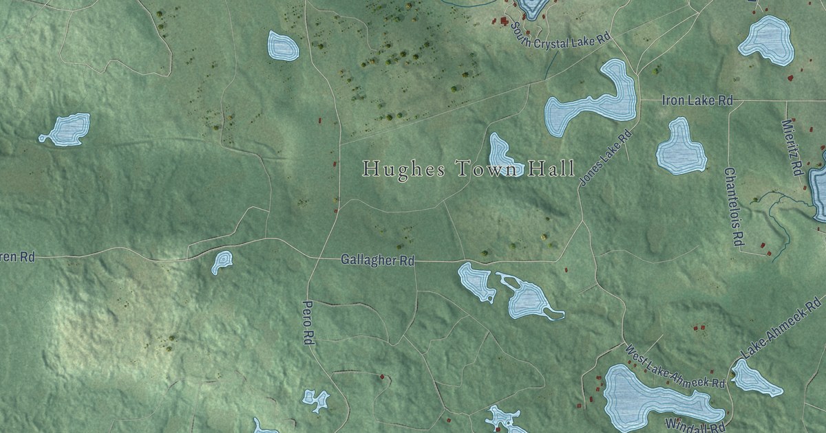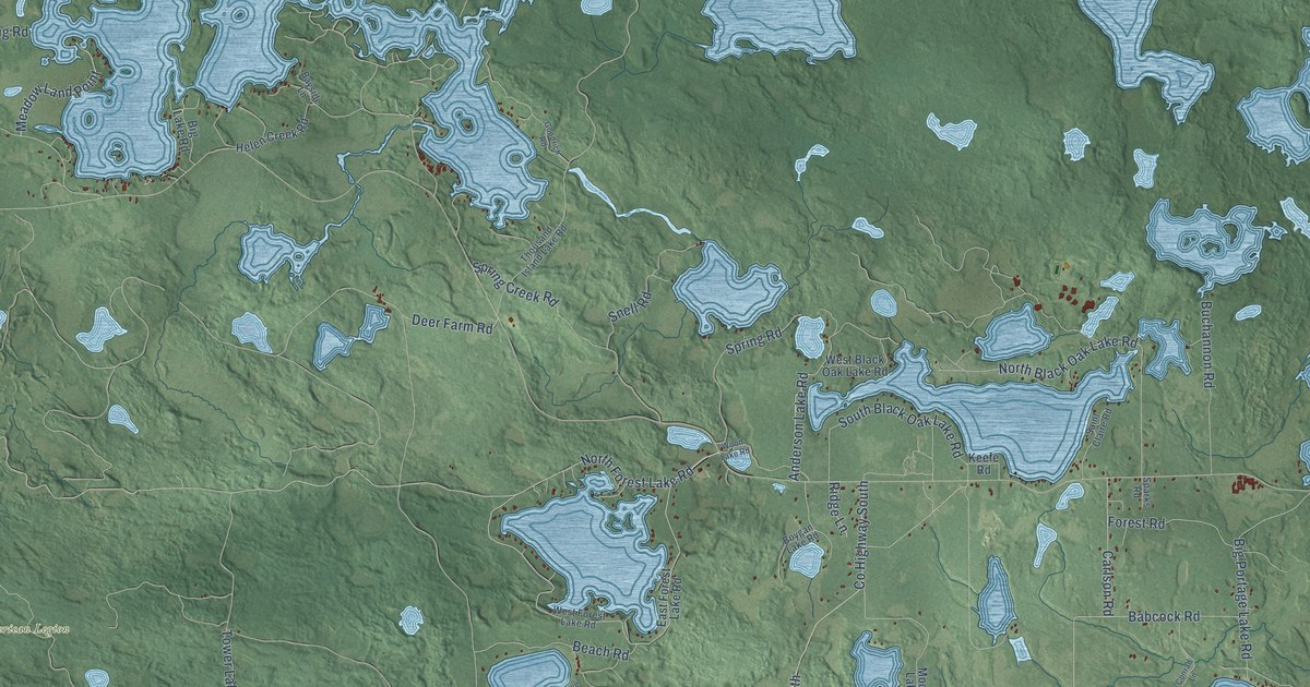
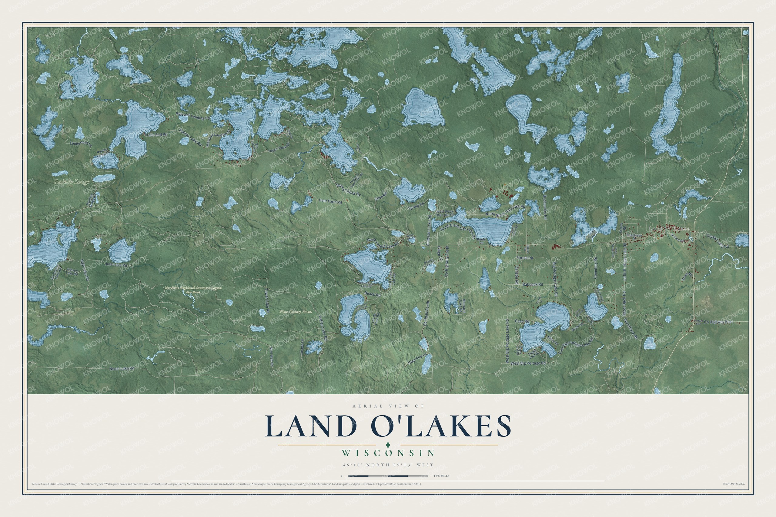
This beautifully detailed map of Land O'Lakes, Wisconsin was created in 2026 using aerial imagery combined with modern topographical, census, street and landmark data. It's a modern aerial view of Land O'Lakes in Vilas County, Wisconsin, that combines modern data with a vintage aesthetic. The roads feature printed names, and if you look closely you can find your exact house accurately shown in its correct location.
Explore an aerial view of Land O'Lakes, Wisconsin
On this map you'll find Northern Highland American Legion State Forest, Rainbo Lodge, Vilas County Forest, Land O' Lakes, North Forest Lake Road, West Big Portage Lake Road, Crystal Lake Road, North Black Oak Lake Road, Tenderfoot Lane, Indian Lake Road, East Big Portage Lake Road, Co Highway South, and more. Each red shape is a building, so zoom in on the preview and look for yours.
Every town has a first chapter, and Land O'Lakes is no exception. The Land O' Lakes Historical Society puts it this way: "In 1948, the name of the Town of State Line was changed to the Town of Land O' Lakes."
Land O'Lakes is a town in Vilas County. The Census Bureau counted 944 people here in 2020.
Take a closer look at the Land O'Lakes map
Names on this map
These names are printed on this map.
Places: Northern Highland American Legion State Forest, Rainbo Lodge, Vilas County Forest and Land O' Lakes.
Streets and roads: North Forest Lake Road, West Big Portage Lake Road, Crystal Lake Road, North Black Oak Lake Road, Tenderfoot Lane, Indian Lake Road, East Big Portage Lake Road, County Highway South, County Road South, Tower Lake Road, Jute Lake Road, Little Portage Lake Road.
More street names, A to Z
Airport Road, Anderson Lake Road, Babcock Road, Bayside Lane, Beach Road, Berry Road, Big Gibson Lake Road, Big Lake Landing Road, Big Lake Road, Big Portage Lake Road, Birch Road, Boygan Lake Road, Buchannon Road, Carlson Road, Cemetery Road, Clair Fire Lane, Conrad Lane, County Highway East, County Road East, Deer Farm Road, East Forest Lake Road, Evergreen Drive, Forest Road, Gees Road, Gibson Lake Road, Goodrich Road, Helen Creek Road, High Lake Road, Keefe Road, Lac du Lune Road, Landing Lake Road, Long Drive To Aframe, Maple Leaf Drive, Maple Leaf Road, Meadow Land Point, Moccasin Lake Road, Nine Web Road, Nixon Lake Road, North Boat Landing Road, Ottawa Lane, Palmer Lake Road, Portage Pines Lane, Rainbo Lodge Lane, Rainbow Lodge Road, Razorback Road, Razor Back Road, Ridge Lane, River Road, Saint Claire Road, Snell Road, South Black Oak Lake Road, Sparks Road, Spring Creek Road, Spring Road, Spruce Road, Thousand Island Lake Road, Town Garage Road, Trails End Road, West Big Portage Road, West Black Oak Lake Road, West Forest Lake Road, Wood Lake Road, Yellow Brick Road.
Created by KNOWOL in 2026. The buildings are small red shapes, the roads carry their printed names, and shaded relief shows the shape of the land. The title panel reads "AERIAL VIEW OF LAND O'LAKES, WISCONSIN" with 46°10' NORTH 89°13' WEST.
Hang it in the hallway, the office or the cabin, or give it to someone who left Land O'Lakes and still calls it home. Open the preview and look for a street you know. See sizes and frames for the Land O’Lakes map.