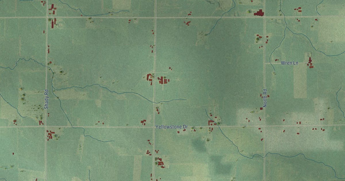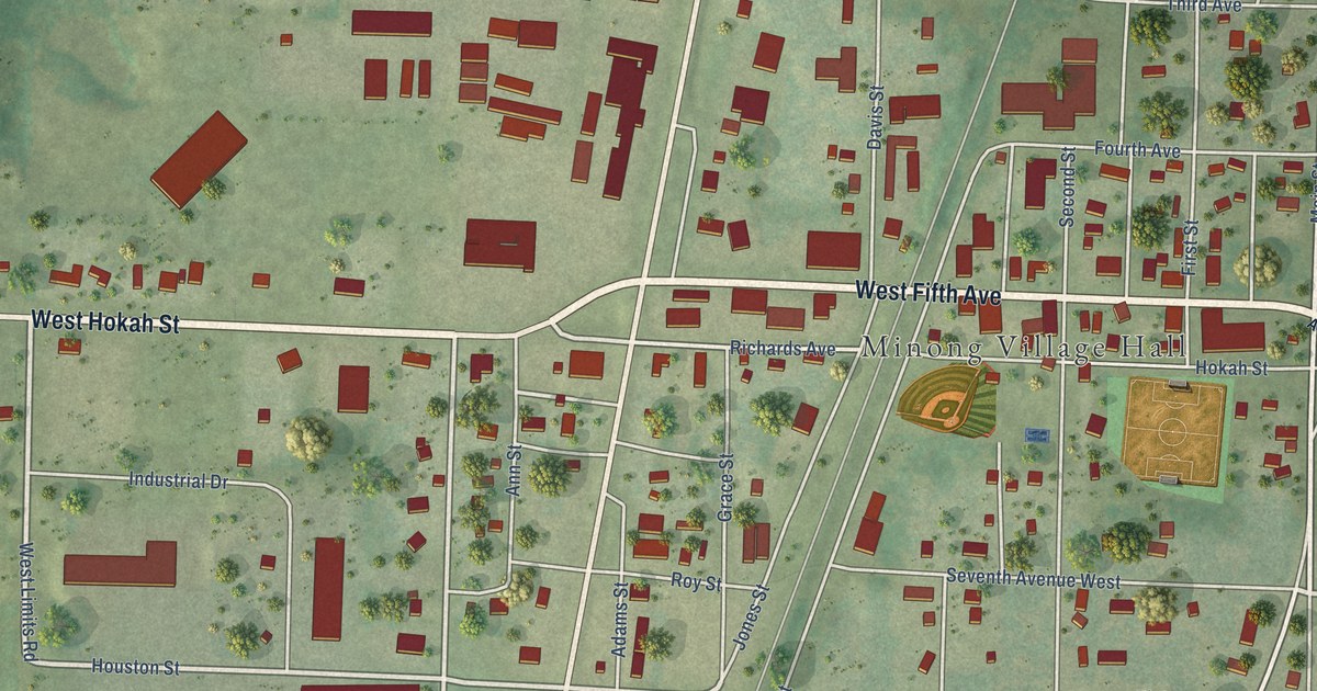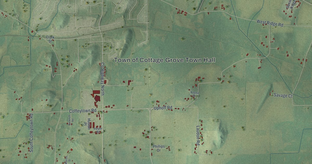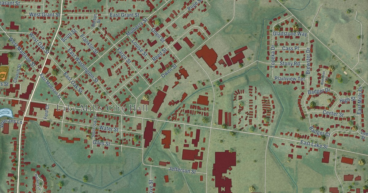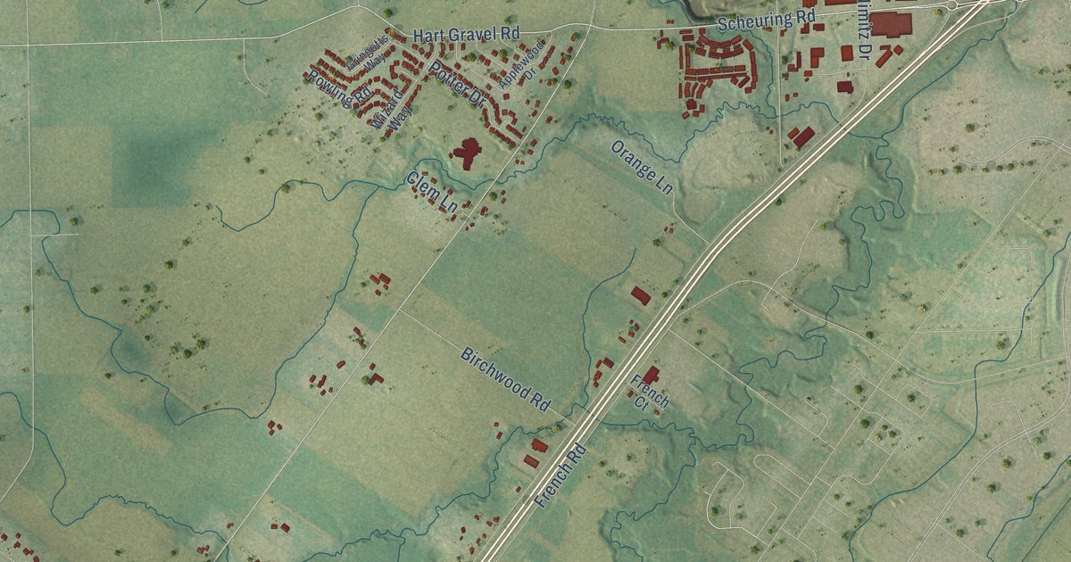
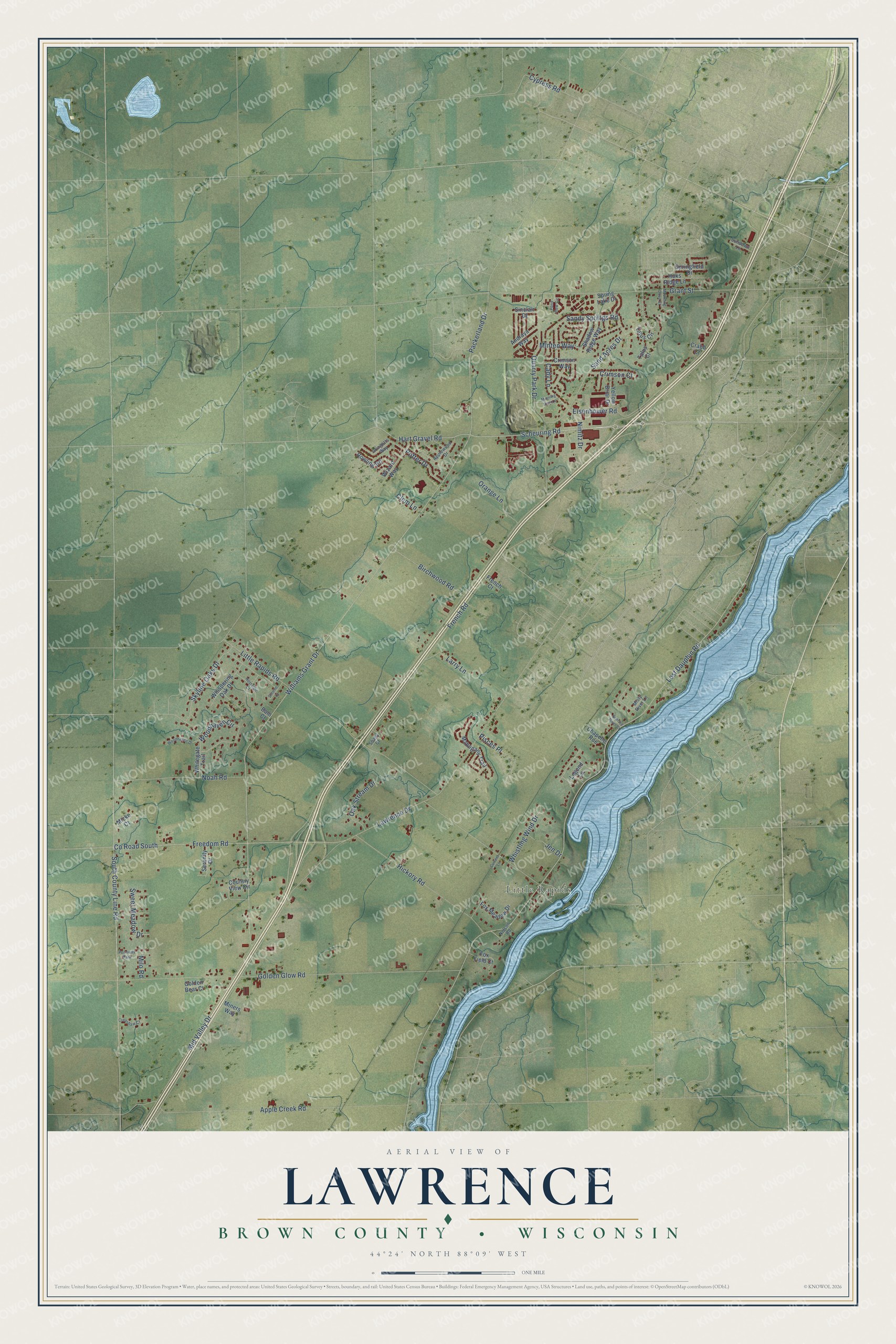
This beautifully detailed map of Lawrence, Wisconsin was created in 2026 using aerial imagery combined with modern topographical, census, street and landmark data. It's a modern aerial view of Lawrence in Brown County, Wisconsin, that combines modern data with a vintage aesthetic. The roads feature printed names, and if you look closely you can find your exact house accurately shown in its correct location.
Explore an aerial view of Lawrence, Wisconsin
On this map you'll find Little Rapids, Scheuring Road, Hart Gravel Road, South County Line Road, Eisenhower Road, Mid Valley Drive, Lost Dauphin Road, French Road, Williams Grant Drive, Little Rapids Road, Golden Glow Road, Apple Creek Road, and more. Each red shape is a building, so zoom in on the preview and look for yours.
Here is a piece of Lawrence history, in the words of the record. The History of Brown County puts it this way: "Upon the admission of Wisconsin to the Union in 1848, a new town was set off from Howard and named Lawrence in honor of Amos A. Lawrence, founder of the university at Appleton."
Lawrence is a town in Brown County. The Census Bureau counted 6,306 people here in 2020.
Take a closer look at the Lawrence map
Names on this map
These names are printed on this map.
Places: Little Rapids and Pennway Park.
Streets and roads: Scheuring Road, Hart Gravel Road, South County Line Road, Eisenhower Road, Mid Valley Drive, Lost Dauphin Road, French Road, Williams Grant Drive, Little Rapids Road, Golden Glow Road, Apple Creek Road, Lawrence Drive.
More street names, A to Z
Andraya Way, Applewood Drive, Bain Court, Birchwood Road, Cady Lane, Chapelle Rue, Clem Lane, Country View Circle, County Road South, Crabb Court, Crenshaw Court, Crimson Court, Crimson Way, Current Lane, Cypress Road, Fox Field Court, Fox Meadow Drive, Freedom Road, French Court, Golden Bear Court, Grant Street, Gringotts Way, Hickory Road, Hoks Ridge Lane, Jen Drive, Larry Lane, Legend Lane, Mahogany Trail, Micke Court, Milo Road, Miners Way, Minten Way, Misty River Lane, Morning Dew Lane, Mourning Dove Court, Nelson Road, Nimitz Drive, Noah Road, Nostalgic Court, Oak Stream Drive, Orange Lane, Packerland Drive, Pisces Place, Pond View Circle, Potter Drive, Quarry Park Drive, Rowling Road, Sand Acres Drive, Sandy Springs Road, Serene Court, Serenity Drive, Shadow Ridge Way, Shady Court, Sinclair Drive, Skyline Oaks Drive, Springfield Drive, Spring Lake Drive, Sundown Lane, Sunrise River Court, Sweet Meadow Drive, Talus Circle, Talus Court, Whispering Oak Drive, Whistling Wind Drive, Whitegate Trail, Wizard Way, Woodhaven Circle, Woodhaven Drive, Yellow Briar Drive.
Created by KNOWOL in 2026. The buildings are small red shapes, the roads carry their printed names, and shaded relief shows the shape of the land. The title panel reads "AERIAL VIEW OF LAWRENCE, BROWN COUNTY • WISCONSIN" with 44°24' NORTH 88°09' WEST.
It suits a den, a classroom or a front hall, and it makes a gift for anyone with Lawrence roots. Open the preview and find the block you know. See sizes and frames for the Lawrence, Brown County map.