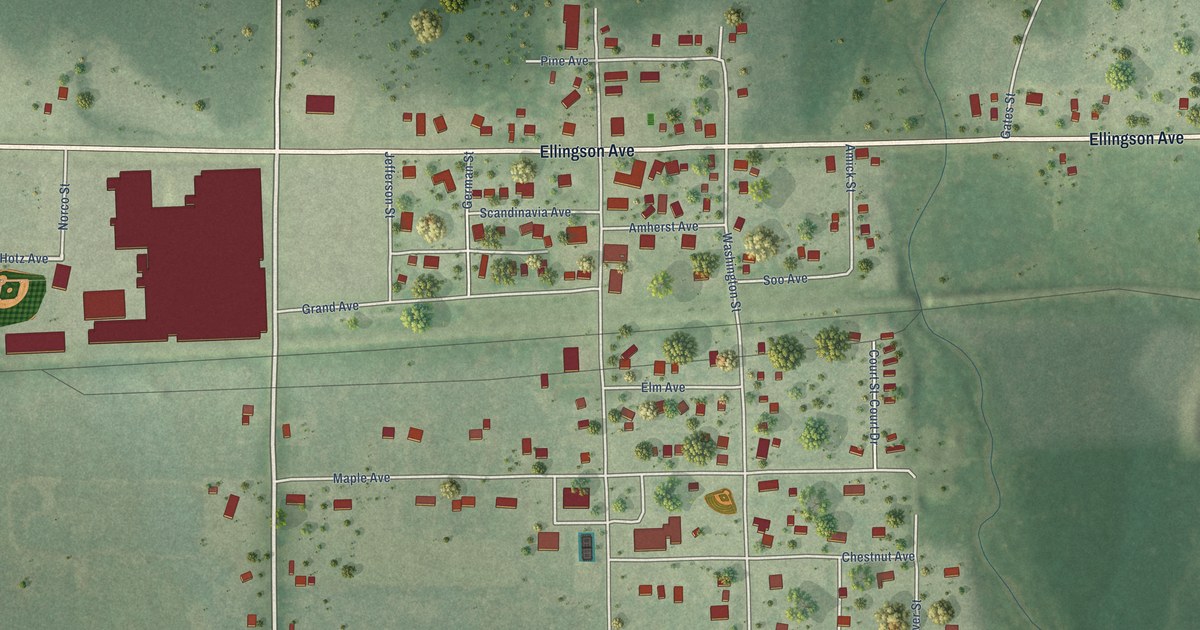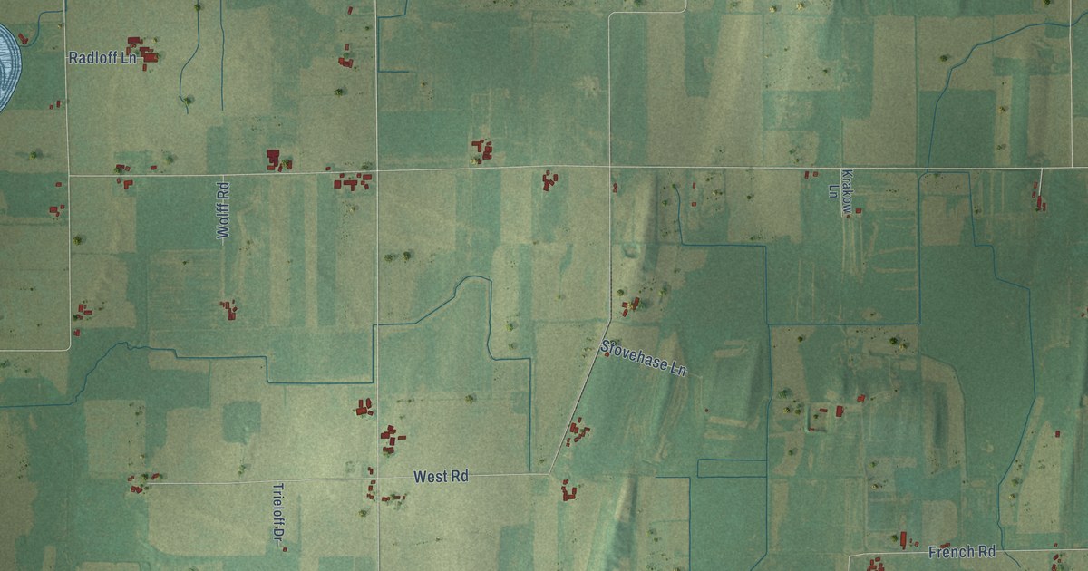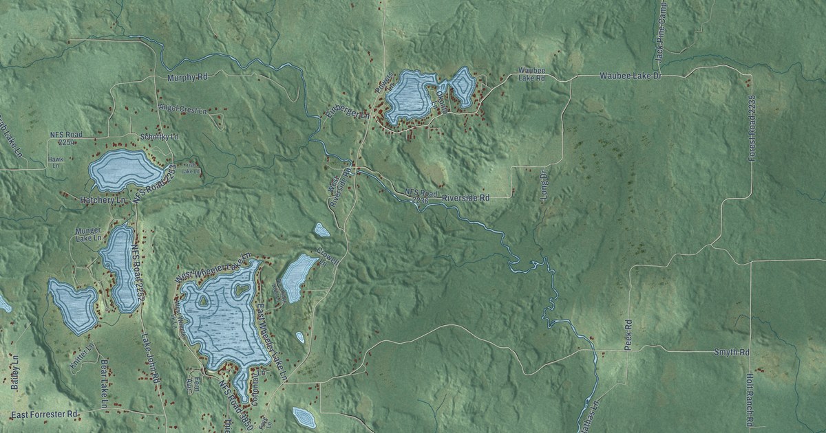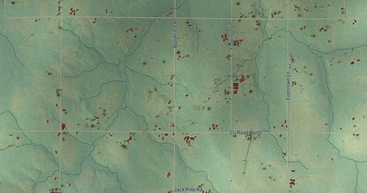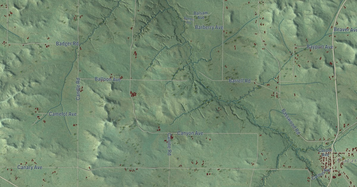
This beautifully detailed map of Little Falls, Wisconsin was created in 2026 using aerial imagery combined with modern topographical, census, street and landmark data. It's a modern aerial view of Little Falls in Monroe County, Wisconsin, that combines modern data with a vintage aesthetic. The roads feature printed names, and if you look closely you can find your exact house accurately shown in its correct location.
Explore an aerial view of Little Falls, Wisconsin
On this map you'll find Cataract, Four Corners, Ebony Road, Cardinal Road, Acorn Avenue, Co Highway South, Aaron Avenue, Canary Avenue, Canyon Avenue, Candle Road, Basswood Road, Dallas Avenue, and more. Each red shape is a building, so zoom in on the preview and look for yours.
Little Falls is a town in Monroe County. The Census Bureau counted 1,509 people here in 2020. The map prints the town name in its title panel, with the coordinates below it.
Take a closer look at the Little Falls map
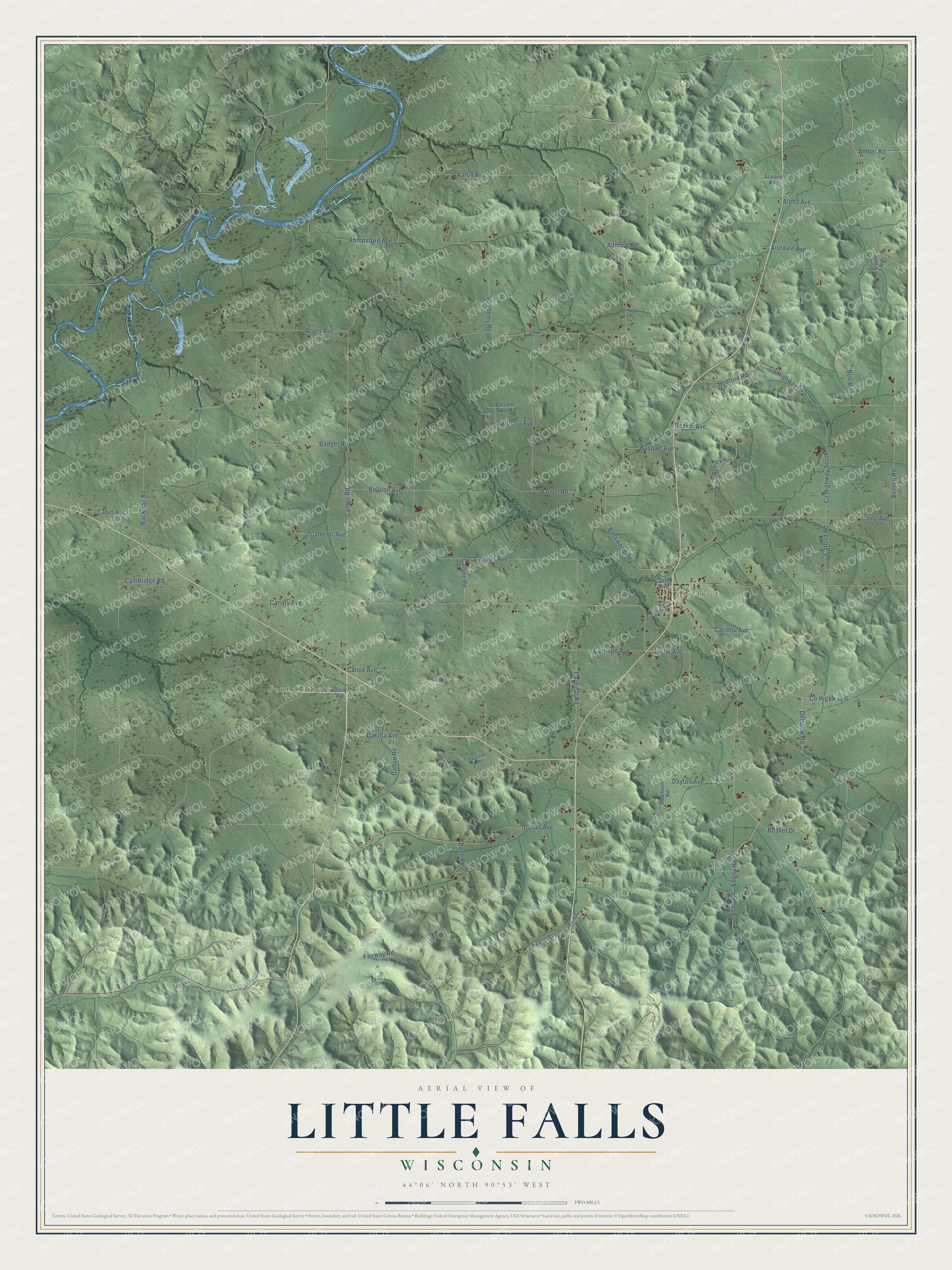
Names on this map
These names are printed on this map.
Places: Cataract and Four Corners.
Streets and roads: Ebony Road, Cardinal Road, Acorn Avenue, County Highway South, Aaron Avenue, Canary Avenue, Canyon Avenue, Candle Road, Basswood Road, Dallas Avenue, Benton Road, Backtrail Road.
More street names, A to Z
Abbeville Road, Abbotsford Avenue, Academy Road, Admiral Road, Airedale Avenue, Almond Avenue, Alpha Avenue, Alpine Avenue, Amber Road, Badger Road, Balloon Avenue, Balsam Avenue, Bamboo Avenue, Barberry Avenue, Barrell Road, Bayport Avenue, Beaver Avenue, Beaver Drive, Bedford Road, Bedrock Avenue, Bell Road, Cabin Avenue, Cambridge Road, Camelot Avenue, Camp Avenue, Canine Road, Canoe Avenue, Caribou Avenue, Carmel Avenue, Carriage Avenue, Casper Avenue, Castle Avenue, Catbird Road, County Highway II, County Highway Ss, Dairy Avenue, Dakota Avenue, Dalmation Road, Dalton Road, Dane Road, Dayton Avenue, Dearborn Road, Dellview Road, Eagle Avenue, Eastview Avenue, Echo Road, Fairway Road.
Created by KNOWOL in 2026. The buildings are small red shapes, the roads carry their printed names, and shaded relief shows the shape of the land. The title panel reads "AERIAL VIEW OF LITTLE FALLS, WISCONSIN" with 44°06' NORTH 90°53' WEST.
It looks right in a kitchen, an office or a den, and it's a gift for anyone who grew up in Little Falls or moved away. Open the preview and find your street. See sizes and frames for the Little Falls map.