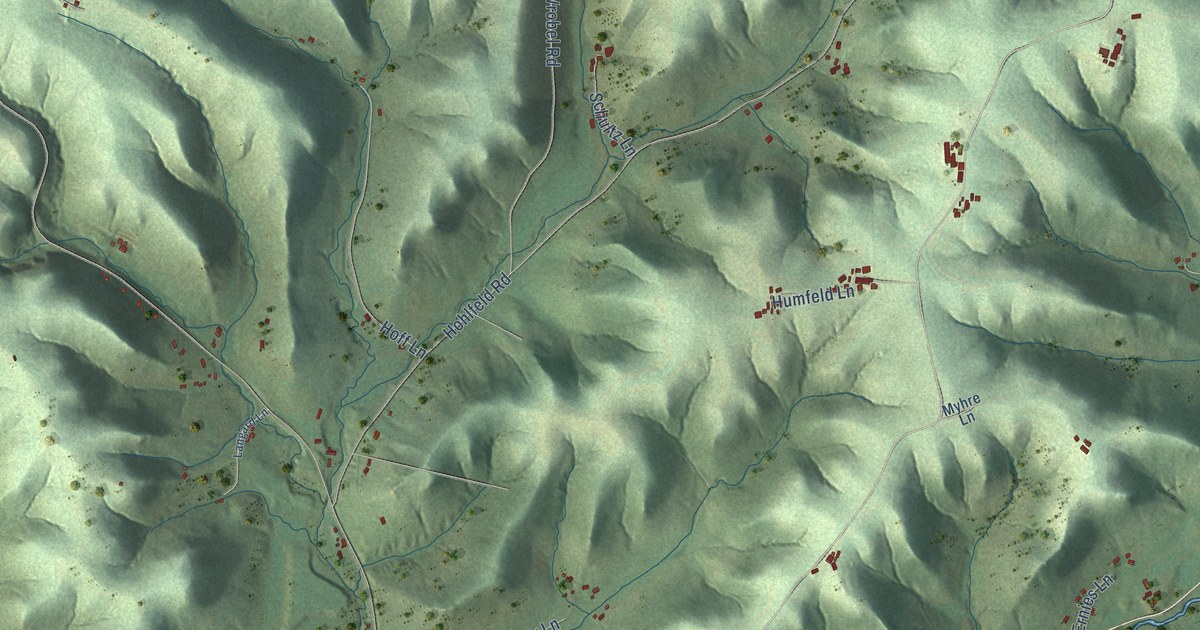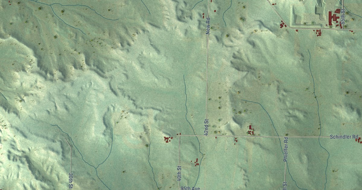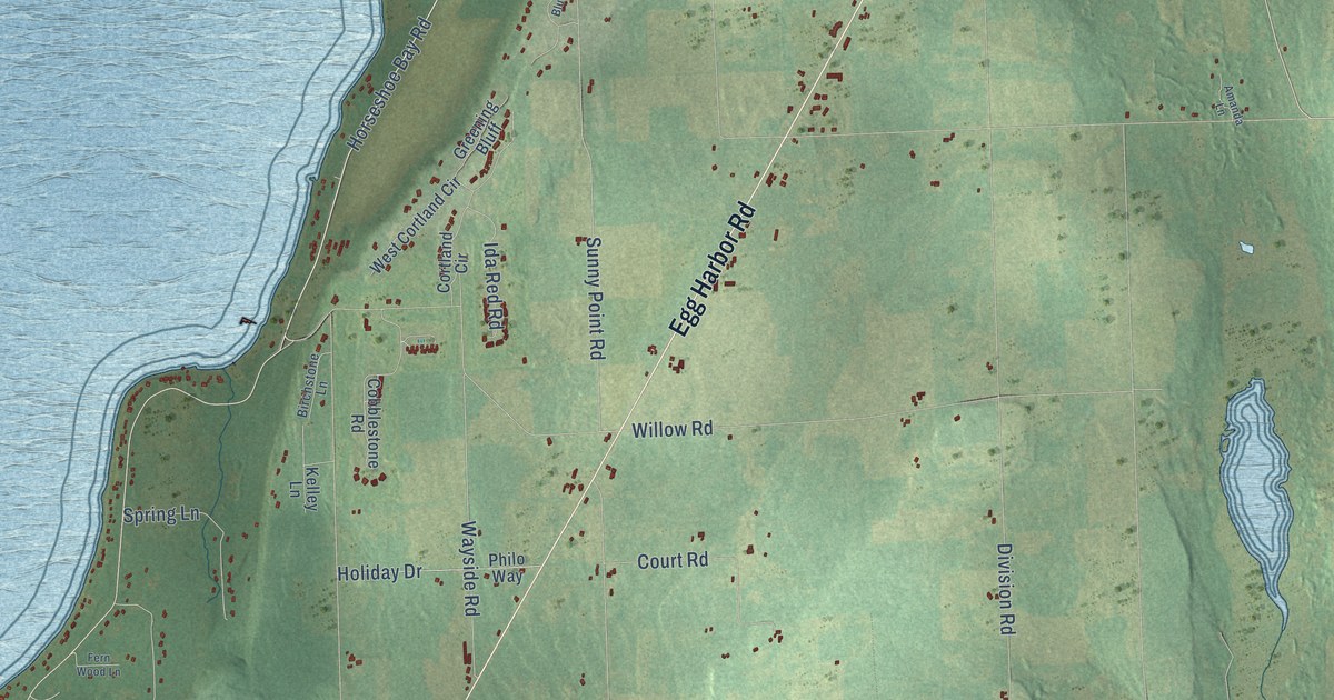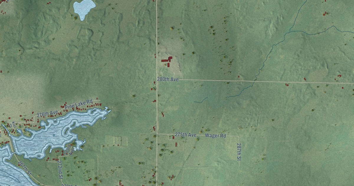
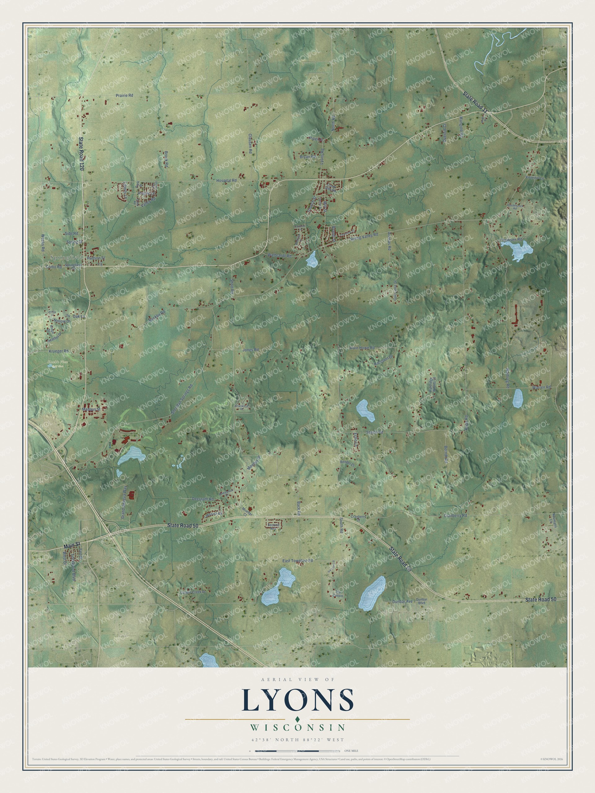
This beautifully detailed map of Lyons, Wisconsin was created in 2026 using aerial imagery combined with modern topographical, census, street and landmark data. It's a modern aerial view of Lyons in Walworth County, Wisconsin, that combines modern data with a vintage aesthetic. The roads feature printed names, and if you look closely you can find your exact house accurately shown in its correct location.
Explore an aerial view of Lyons, Wisconsin
On this map you'll find Springfield, Hawk's View Golf Club, State Road 50, State Road 120, Main Street, State Road 11, Spring Valley Road, Weeks Road, Como Road, Sheridan Springs Road, East Townline Road, South Road, and more. Each red shape is a building, so zoom in on the preview and look for yours.
Here is a piece of Lyons history, in the words of the record. The History of Walworth County puts it this way: "Lyons, formerly called Hudson, was organized under its present name by act of Legislature January 23, 1844."
Lyons is a town in Walworth County. The Census Bureau counted 3,648 people here in 2020.
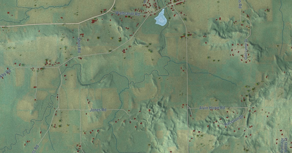
Take a closer look at the Lyons map
Names on this map
These names are printed on this map.
Places: Springfield and Hawk's View Golf Club.
Streets and roads: State Road 50, State Road 120, Main Street, State Road 11, Spring Valley Road, Weeks Road, Como Road, Sheridan Springs Road, East Townline Road, South Road, Back Road, Hospital Road.
More street names, A to Z
Aivinas Road, Alvin Howe Road, Bender Court, Berndt Road, Brandi Street, Briarwood Drive, Bridlewood Court, Brook Road, Bryan Road, Buckby Road, Center Street, Christine Court, Church Street, Clausen Road, Cobble Creek Drive, Cranberry Court, Cranberry Road, Creek Road, Creek Side Road, Deerpath Road, Dunbar Avenue, Dunbar Boulevard, East Drive, East Street, Echo Lane, Gail Lynne Drive, Grand Geneva Way, Heather Drive, Hilltop Lane, Hollow Drive, Hudson Street, Jones Road, Knob Road, Krueger Road, Lakeside Road, Liberty Lane, Lockwood Boulevard, Lyons Road, Madaus Street, Mangold Road, Mill Street, Moelter Court, Moelter Drive, Motor Drive, Neumann Lane, North Road, Oak, Oakbrook Drive, Oak Lane, Overhill Court, Park Street, Partridge Woods Court, Piper Drive, Prairie Lane, Prairie Road, Raccoon Drive, Ridge Drive, Ruedebusch Road, Second Avenue, Short Road, Side Road, Springfield Road, Spring Street, Steele Road, Sunrise Trail, Thomsen Road, Valley Road, Via Cassio, Via Cassio Street, Vieterhof Lane, Walbrandt Road, Walburg Road, Warren Road, West Drive, Woodridge Lane.
Created by KNOWOL in 2026. The buildings are small red shapes, the roads carry their printed names, and shaded relief shows the shape of the land. The title panel reads "AERIAL VIEW OF LYONS, WISCONSIN" with 42°38' NORTH 88°22' WEST.
It suits a den, a classroom or a front hall, and it makes a gift for anyone with Lyons roots. Open the preview and find the block you know. See sizes and frames for the Lyons map.