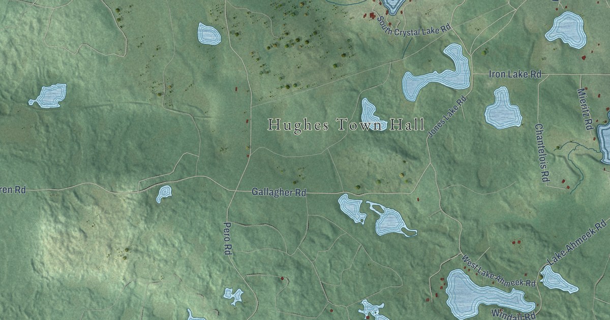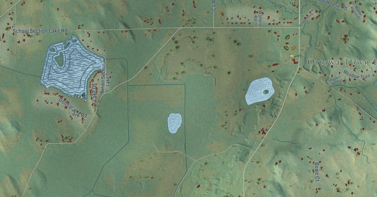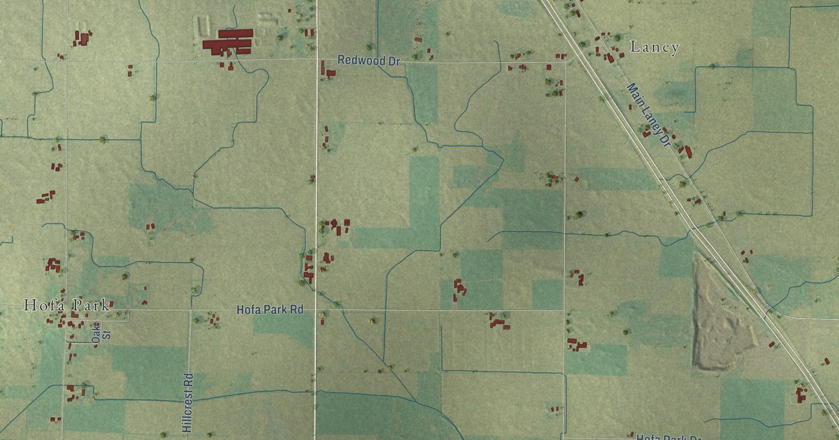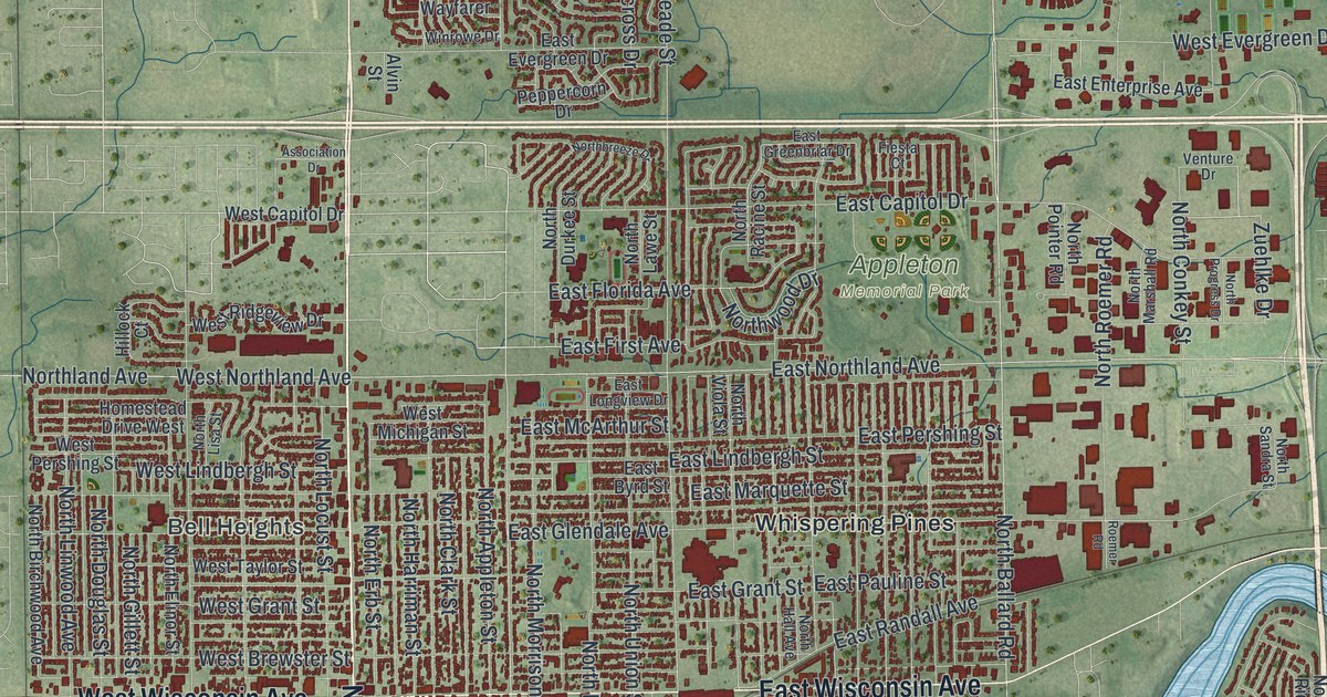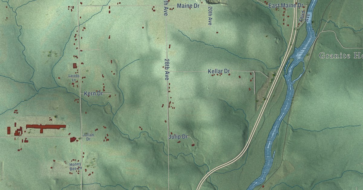
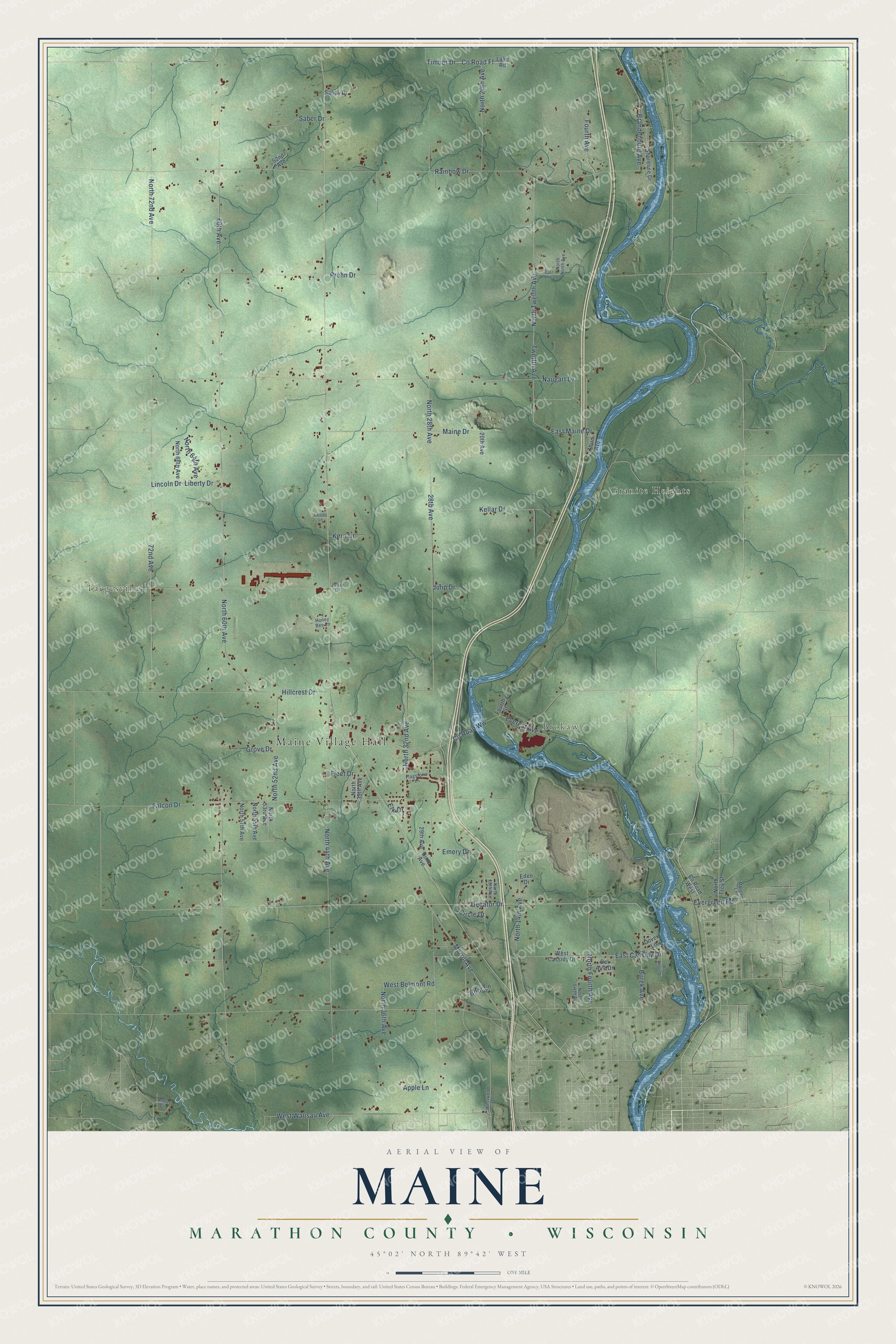
This beautifully detailed map of Maine, Wisconsin was created in 2026 using aerial imagery combined with modern topographical, census, street and landmark data. It's a modern aerial view of Maine in Marathon County, Wisconsin, that combines modern data with a vintage aesthetic. The roads feature printed names, and if you look closely you can find your exact house accurately shown in its correct location.
Explore an aerial view of Maine, Wisconsin
On this map you'll find Maine Village Hall, Brokaw, Taegesville, Granite Heights, Decator Drive, North 28th Avenue, Merrill Avenue, Emery Drive, Naugart Drive, 28th Avenue, North 60th Avenue, 72nd Avenue, and more. Each red shape is a building, so zoom in on the preview and look for yours.
Here is a piece of Maine history, in the words of the record. The Internet Archive puts it this way: "Tliere was no organized city in Marathon county until
1872, and only the towns of Berlin, Knowlton, Maine, Marathon, Mosinee,
Stettin, Texas, Wausau, Wien and Weston, and Jenny."
Maine is a village in Marathon County. The Census Bureau counted 2,613 people here in 2020.
Take a closer look at the Maine map
Names on this map
These names are printed on this map.
Places: Maine Village Hall, Brokaw, Taegesville and Granite Heights.
Streets and roads: Decator Drive, North 28th Avenue, Merrill Avenue, Emery Drive, Naugart Drive, 28th Avenue, North 60th Avenue, 72nd Avenue, North 72nd Avenue, 60th Avenue, Rainbow Drive, North 44th Avenue.
More street names, A to Z
20th Avenue, 29th Avenue, 52nd Avenue, Antler Circle, Apple Lane, Bay Shore Drive, Bel Aire Drive, Boot Lane, Brandenburg Avenue, Burek Avenue, Circle Drive, County Road Ff, County Road West, County Road Ww, Dixie Avenue, Dover Lane, East Cassidy Drive, East Maine Drive, East Prehn Drive, Eden Drive, Elk Drive, Everest Avenue, Evergreen Road, Falcon Drive, Flagstone Lane, Fleet Drive, Fourth Avenue, Fourth Street, Grove Drive, Hillcrest Drive, Honey Bee Lane, Julian Drive, Julip Drive, Kellar Drive, Kern Drive, Lake Road, Laredo Lane, Liberty Drive, Lincoln Drive, Maine Drive, Morgan Lane, North 14th Avenue, North 18th Avenue, North 20th Avenue, North 32nd Avenue, North 36th Avenue, North 39th Avenue, North 52nd Avenue, North 53rd Avenue, North 55th Avenue, North 57th Avenue, North 64th Avenue, North 66th Avenue, North Fourth Avenue, North Ninth Avenue, North Sixth Avenue, North Troy Street, North Twelfth Avenue, Prehn Drive, Saber Drive, Sandy Drive, Shoreline Drive, Third Avenue, Timber Drive, Twelfth Avenue, West Belmont Road, West Cassidy Drive, West Wausau Avenue, Westwood Drive.
Created by KNOWOL in 2026. The buildings are small red shapes, the roads carry their printed names, and shaded relief shows the shape of the land. The title panel reads "AERIAL VIEW OF MAINE, MARATHON COUNTY • WISCONSIN" with 45°02' NORTH 89°42' WEST.
It suits a den, a classroom or a front hall, and it makes a gift for anyone with Maine roots. Open the preview and find the block you know. See sizes and frames for the Maine, Marathon County map.