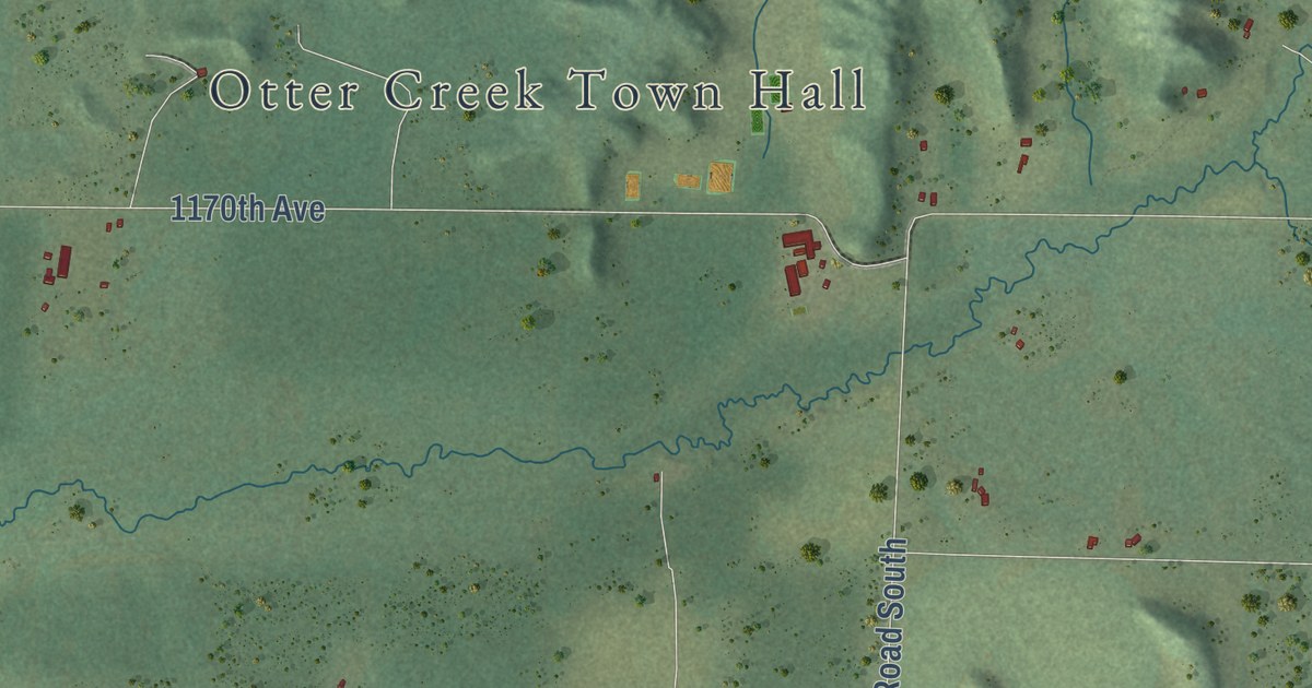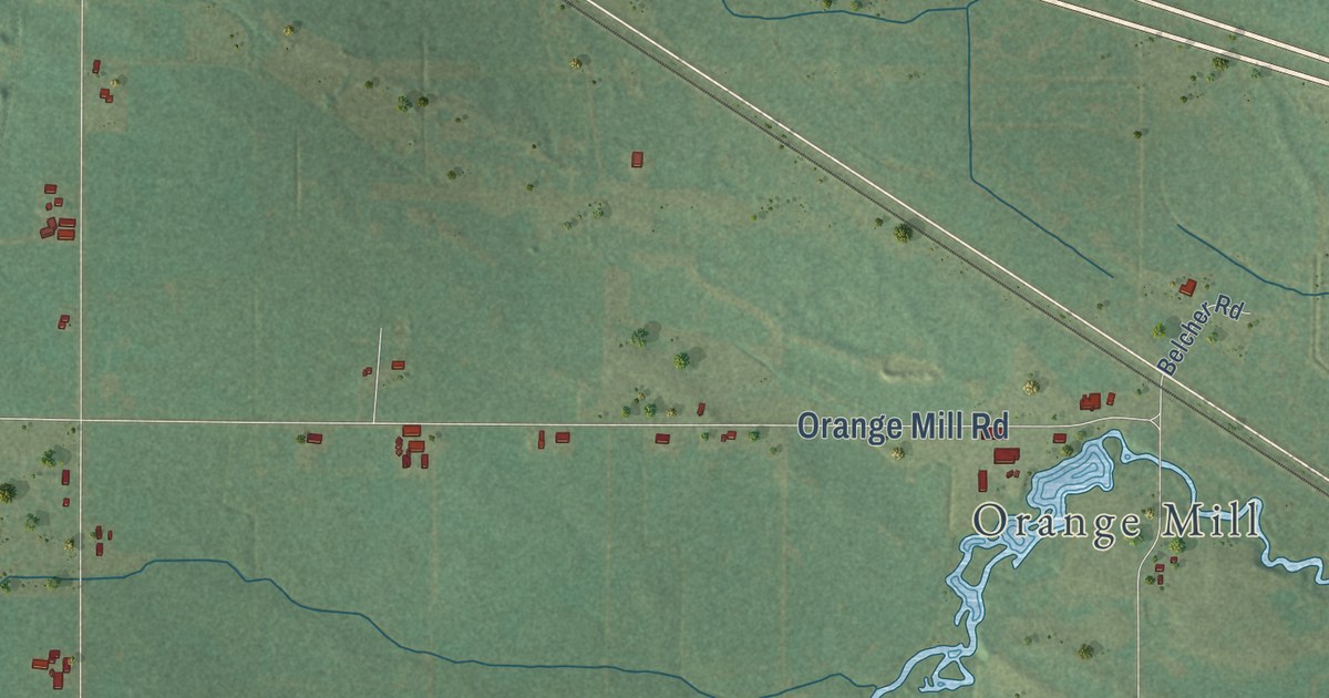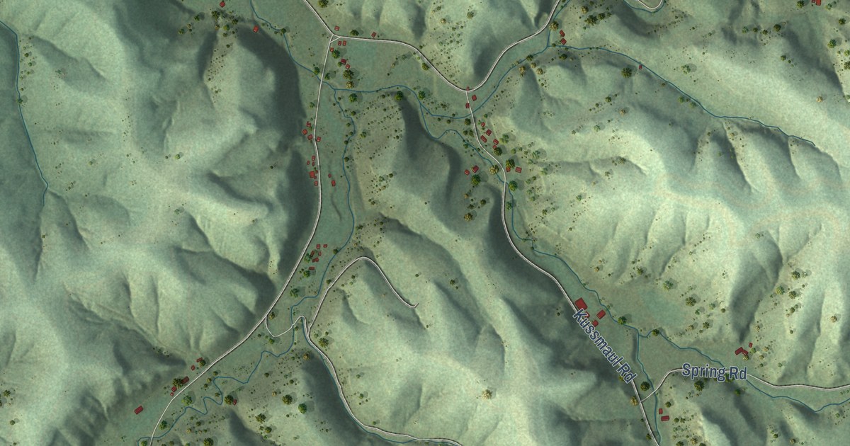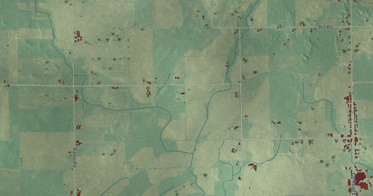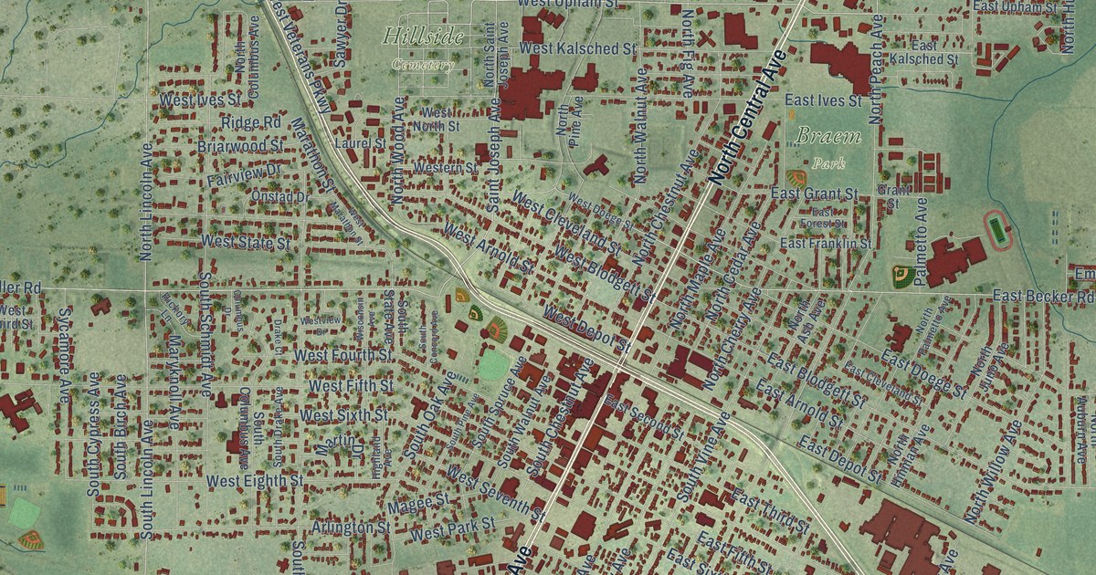
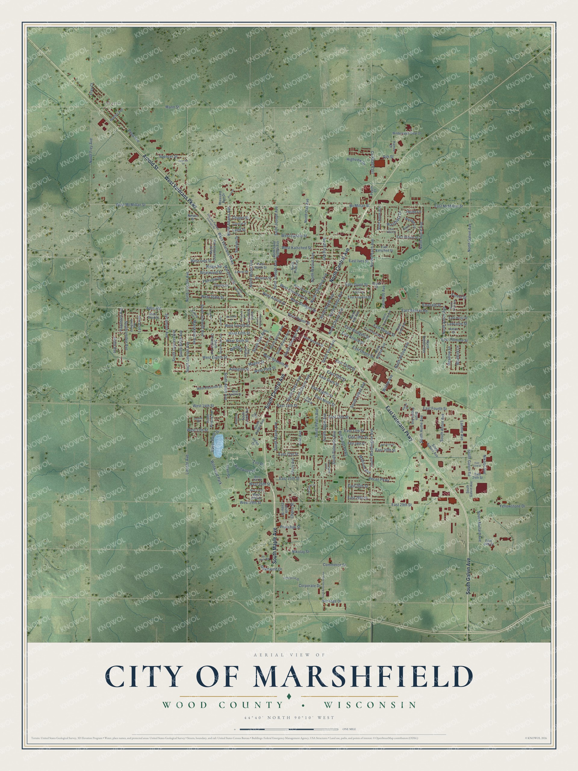
This beautifully detailed map of Marshfield, Wisconsin was created in 2026 using aerial imagery combined with modern topographical, census, street and landmark data. It’s a one-of-a-kind view of Marshfield that combines accurate data with a vintage aesthetic. The map shows every building in its true location, many of the roads carry their names, and the shaded topographic relief shows the shape of the land.
Explore an aerial view of Marshfield, Wisconsin
On the map you’ll find Mann, Braem Park, Hillside Cemetery, and Wildwood Park, along with North Central Avenue, South Central Avenue, West Veterans Parkway, South Maple Avenue, Arnold Street, East Veterans Parkway, South Galvin Avenue, West McMillan Street, and more. If you look closely you can even find your house accurately drawn in its correct location. Zoom in on the preview to look for yours.
Did you know this piece of Marshfield, Wisconsin history?
From the History of Northern Wisconsin: "Lumbering is the principal business in Marshfield. In 1878, C. Upham & Brother built the first saw-mill in the village, and in August, 1880, a large planing mill."
Take a closer look at the Marshfield map
Street and place names on the Marshfield, Wisconsin map
These names are printed on the map of Marshfield, Wisconsin.
Places: Mann, Braem Park, Hillside Cemetery and Wildwood Park.
Streets and roads: North Central Avenue, South Central Avenue, West Veterans Parkway, South Maple Avenue, Arnold Street, East Veterans Parkway, South Galvin Avenue, West McMillan Street, McMillan Street, North Peach Avenue, West Upham Street, East 29th Street.
More street names, A to Z
16th Street, Adler Road, Air Park Road, Anton Court, Arlington Street, Ash Street, Bluebird Lane, Briarwood Street, Butternut Parkway, Chapel Street, Cherry Avenue, Cherry Street, Colonial Street, Columbus Drive, Commerce Drive, Corporate Drive, County Road East, Debra Lane, Devine Drive, Downwind Drive, Drake Court, East 14th Street, East 15th Street, East 17th Street, East 18th Street, East 19th Street, East 20th Street, East 21st Street, East 22nd Street, East 24th Street, East 25th Street, East 26th Street, East 28th Street, East 34th Street, East Arnold Street, East Becker Road, East Blodgett Street, East Cleveland Street, East Depot Street, East Doege Street, East Eighth Street, East Fifth Street, East Fillmore Street, East Forest Street, East Fourth Street, East Franklin Street, East Grant Street, East Hintz Street, East Ives Street, East Kalsched Street, East McMillan Street, East Ninth Street, East Second Street, East Sixth Street, East Tenth Street, East Third Street, East Upham Street, East Vilas Street, Emerald Street, Enterprise Drive, Evergreen Avenue, Fairview Drive, Forest Street, Frey Court, Grant Street, Green Acres Drive, Hamus Drive, Hardwood Drive, Hawthorn Avenue, Hefko Drive, Heide Lane, Heritage Drive, Hickory Lane, Highland Avenue, Highview Drive, Holly Avenue, Huetter Avenue, Karau Drive, Laemle Avenue, Laird Street, Larch Avenue, Laurel Street, Lawraine Street, Lincoln Avenue, Madison Avenue, Magee Street, Mann Street, Marathon Street, Martin Drive, Maryknoll Avenue, Meadow Lane, Nelson Street, Nikolai Avenue, Nikolay Street, North Adams Avenue, North Anton Avenue, North Apple Avenue, North Ash Avenue, North Auburn Avenue, North Cedar Avenue, North Cherry Avenue, North Chestnut Avenue, North Columbus Avenue, North Fig Avenue, North Frey Avenue, North Galvin Avenue, North Hinman Avenue, North Hume Avenue, North Irene Avenue, North Juno Avenue, North Lincoln Avenue, North Maple Avenue, North Oak Avenue, North Palmetto Avenue, North Pine Avenue, North Saint Joseph Avenue, North Walnut Avenue, North Willow Avenue, North Wood Avenue, Onstad Drive, Palmetto Avenue, Peach Court, Peachtree Circle, Pecan Parkway, Pheasant Run Drive, Popp Avenue, Prairie Drive, Praschak Street, Renee Lane, Ridge Road, Saint Joseph Avenue, Sawyer Drive, Shortess Drive, South Adam Avenue, South Anton Avenue, South Apple Avenue, South Auburn Avenue, South Balboa Avenue, South Birch Avenue, South Business Park Avenue, South Cedar Avenue, South Cedar Street, South Cherry Avenue, South Chestnut Avenue, South Columbus Avenue, South Concord Avenue, South Cypress Avenue, South Drake Avenue, South Felker Avenue, South Galvin Road, South Hume Avenue, South Lincoln Avenue, South Linden Avenue, South Locust Avenue, South Mallard Avenue, South Oak Avenue, South Palmetto Avenue, South Peach Avenue, South Pine Avenue, South Popple Avenue, South Roddis Avenue, South Schmidt Avenue, South Spruce Avenue, South State Avenue, South Vine Avenue, South Wallonnie Drive, South Walnut Avenue, South Washington Avenue, Spencer Street, Sycamore Avenue, Tower Drive, Upper Pond Drive, Veterans Parkway Frontage Road, Vine Avenue, Waushara Drive, West 14th Street, West 17th Street, West 25th Street, West 26th Street, West 27th Street, West 28th Street, West 29th Street, West Arnold Street, West Blodgett Street, West Cleveland Street, West Depot Street, West Doege Street, West Eighth Street, West Eleventh Street, Western Street, West Fifth Street, West Fourth Street, West Ives Street, West Kalsched Street, West Marathon Street, West North Street, West Park Street, West Seventh Street, West Sixth Street, West State Street, West Third Street, West Twelfth Street, Westview Drive, Wilderness View Drive, Wildwood Court, Willow Avenue, Wisconsin Avenue, Yellowstone Drive, Zoo Drive.
See the Marshfield, Wisconsin map on a wall
The Marshfield map as an 18 x 24 inch print in a black frame.

This beautifully detailed map of Marshfield makes an attractive addition to your office, library, or den, and it can even be used to teach children the geography and history of the area. It also makes a great gift for anyone with Marshfield roots. When you’re done exploring, click here to get your copy of the Marshfield map.