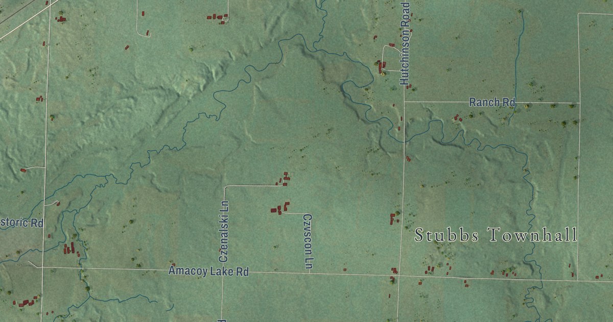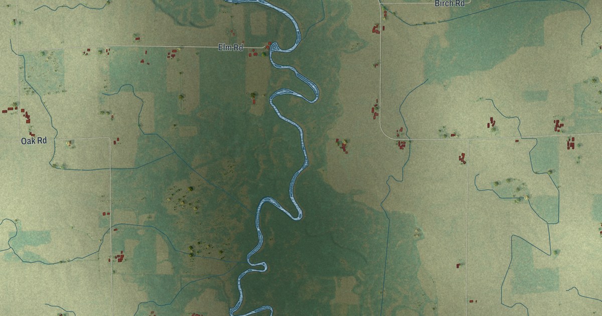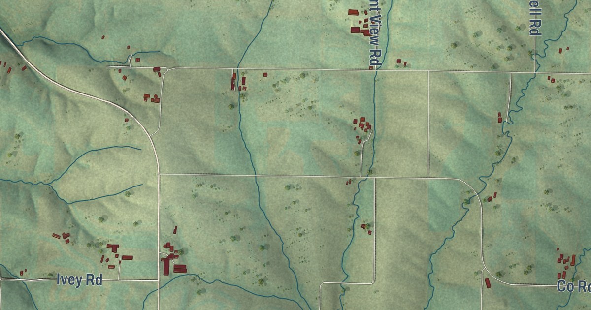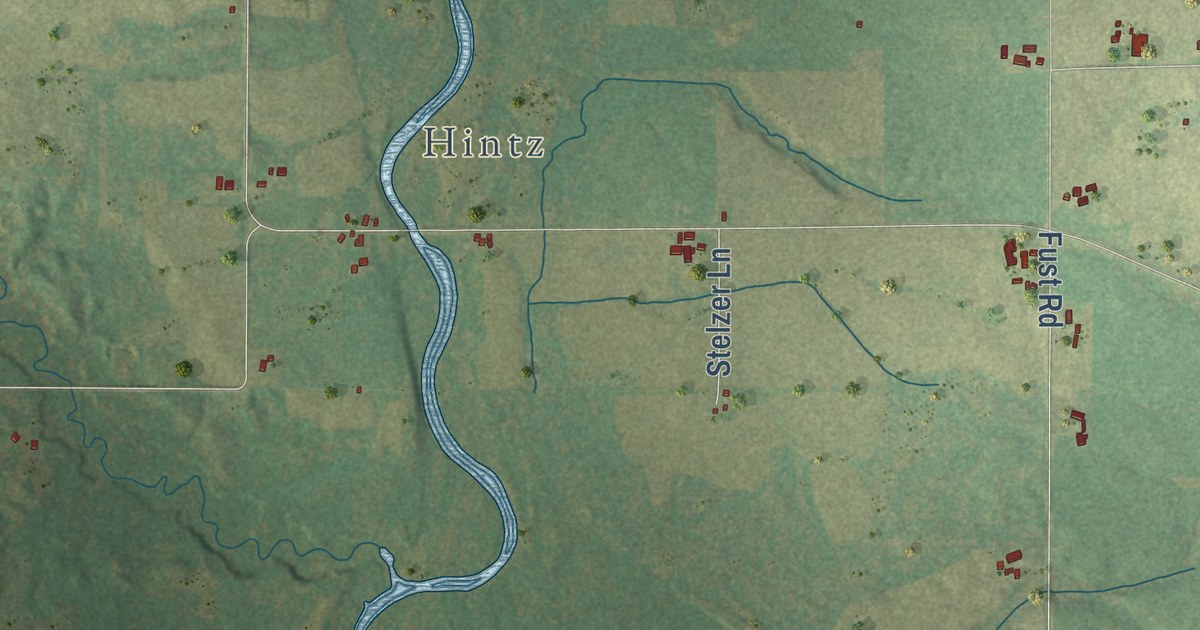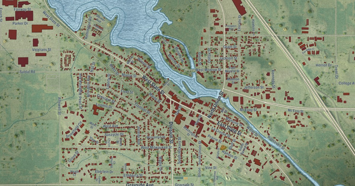
This beautifully detailed map of Mauston, Wisconsin was created in 2026 using aerial imagery combined with modern topographical, census, street and landmark data. It’s a one-of-a-kind view of Mauston that combines accurate data with a vintage aesthetic. The map shows every building in its true location, many of the roads carry their names, and the shaded topographic relief shows the shape of the land.
Explore an aerial view of Mauston, Wisconsin
On the map you’ll find Veteran’s Memorial Park and Union, along with Division Street, West State Street, North Union Street, East State Street, Grayside Avenue, South Union Street, Martin Street, Winsor Street, Monroe Street, Suldal Road, and more. If you look closely you can even find your house accurately drawn in its correct location. Zoom in on the preview to look for yours.
Did you know this piece of Mauston, Wisconsin history?
From the History of Northern Wisconsin: "The Mauston Light Guards rank second to none, as a military organization, in the State. It was organized, August 31, 1869, with Hon. John Turner as captain, and was the third company organized in the State, the two older companies being the Sheridan Guards, of Milwaukee, organized June 23, 1869, and the Manitowoc Company, organized July 18, 1869."
Take a closer look at the Mauston map
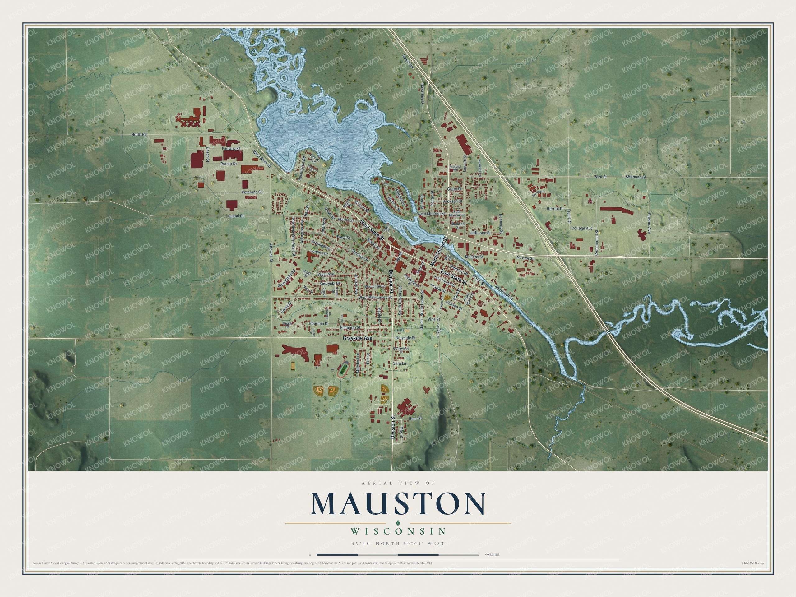
Street and place names on the Mauston, Wisconsin map
These names are printed on the map of Mauston, Wisconsin.
Places: Veteran's Memorial Park.
Streets and roads: Division Street, West State Street, North Union Street, East State Street, Grayside Avenue, South Union Street, Union, Martin Street, Winsor Street, Monroe Street, Suldal Road, Grayside Street.
More street names, A to Z
51st Street, Arlington Avenue, Attewell Street, Beach Street, Blass Street, Bluff Street, Boorman Court, Buttner Court, Church Street, Colfax Street, College Avenue, Commercial Street, Crescent Street, East Monroe Street, Eberlein Drive, Elmberta Street, Elm Street, Ensch Street, Fairway Street, Fleet Street, Genevieve Street, Grant Street, Grote Street, Grove Street, Hall Street, Hanson Street, Hawkins Lane, Heath Court, Herriot Drive, Hess Street, Highview Avenue, Jackson Street, Jefferson Street, Jones Street, Juneau Avenue, Kennedy Street, La Crosse Street, Liberty Street, Lincoln Street, Ll Townline Road, Loomis Drive, Madison Street, Maine Street, Mansion Street, Maple Drive, Marshall Drive, Maughs Street, May Street, McEvoy Street, Mc Evoy Street, Meyer Road, Mill Street, Monroe Court, Morris Street, Murphy Drive, Nazarene Drive, North Road, Oak Ridge Court, Oak Street, Parker Drive, Pearl Street, Pine Street, Ponderosa Drive, Powers Avenue, Prairie Street, Prospect Avenue, Remington Road, Roosevelt Street, Sara Lane, Sherman Street, South Hickory Street, South Spring Street, Steiner Avenue, Stonefield Circle, Suszycki Drive, Treml Drive, Tremont Street, Turner Drive, Veterans Street, View Street, Vine Street, Washington Street, Water Street, West Avenue, West Milwaukee Street, West Monroe Street, West Street, Wisconsin Street.
See the Mauston, Wisconsin map on a wall
The Mauston map as an 18 x 24 inch print in a black frame.

This beautifully detailed map of Mauston makes an attractive addition to your office, library, or den, and it can even be used to teach children the geography and history of the area. It also makes a great gift for someone who left Mauston and still calls it home. When you’re done exploring, click here to get your copy of the Mauston map.