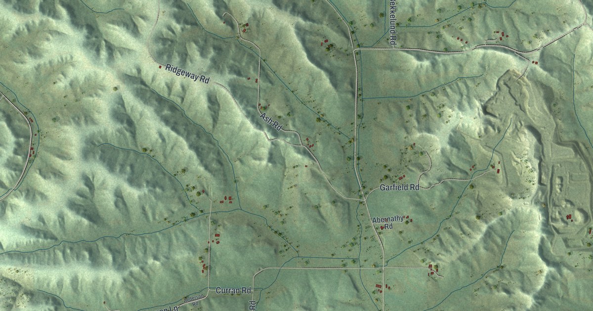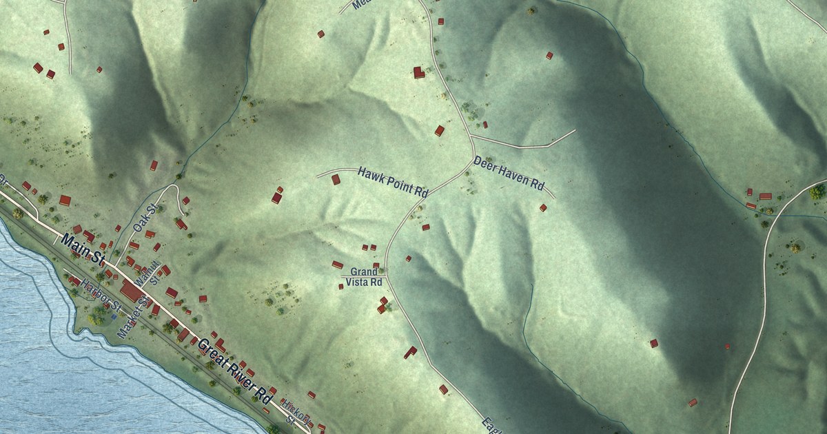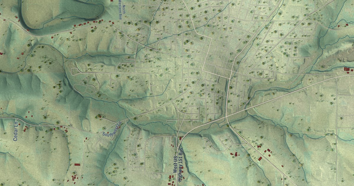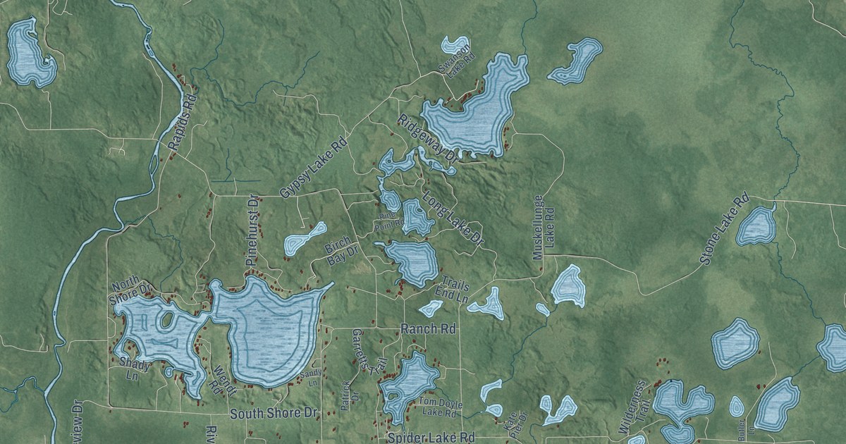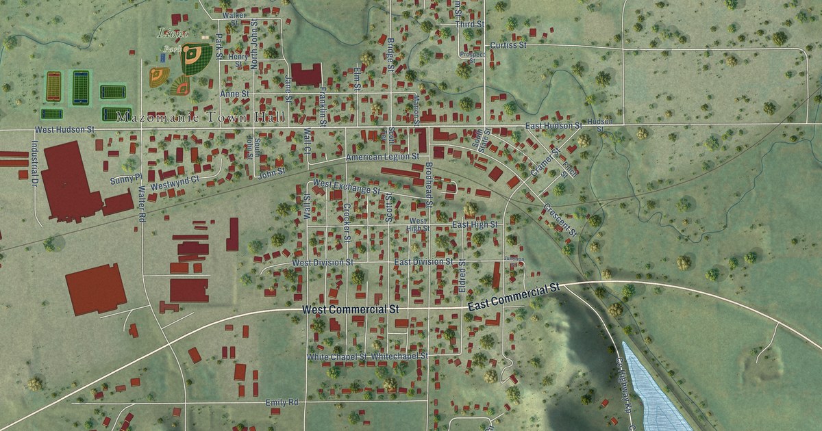
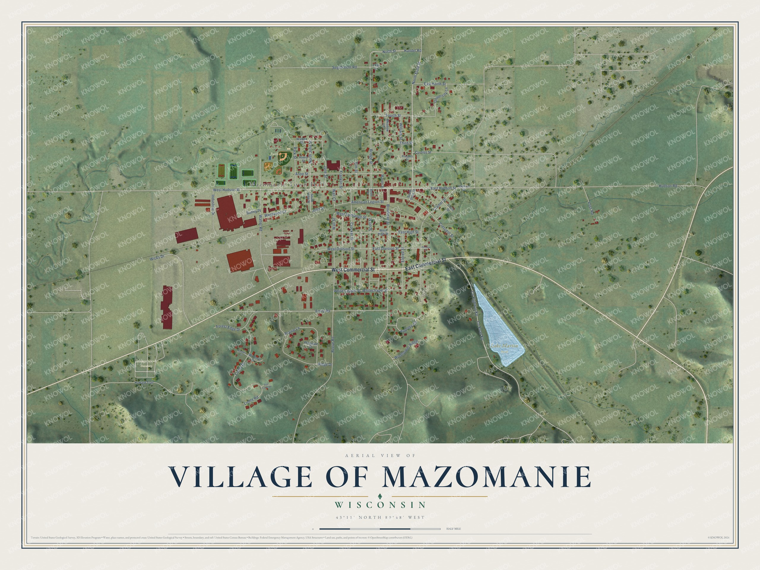
This beautifully detailed map of Mazomanie, Wisconsin was created in 2026 using aerial imagery combined with modern topographical, census, street and landmark data. It's a modern aerial view of Mazomanie in Dane County, Wisconsin, that combines modern data with a vintage aesthetic. The roads feature printed names, and if you look closely you can find your exact house accurately shown in its correct location.
Explore an aerial view of Mazomanie, Wisconsin
On this map you'll find Mazomanie Town Hall, Lake Marion Park, Lions Park, Mazomanie Cemetery, East Commercial Street, West Commercial Street, East Hudson Street, West Hudson Street, North State Street, Handel Road, North Street, Appleby Circle, and more. Each red shape is a building, so zoom in on the preview and look for yours.
Every town has a first chapter, and Mazomanie is no exception. The History of Dane County puts it this way: "The village of Mazomanie was laid out on the lands of Edward Brodhead, Anson Eldred, Moses S. Scott and Eliphalet Cramer, situated on Section 16, in June, 1855, and plat acknowledged by the several parties on July 2, of same year."
Mazomanie is a village in Dane County. The Census Bureau counted 1,768 people here in 2020.
Take a closer look at the Mazomanie map
Names on this map
These names are printed on this map.
Places: Mazomanie Town Hall, Lake Marion Park, Lions Park and Mazomanie Cemetery.
Streets and roads: East Commercial Street, West Commercial Street, East Hudson Street, West Hudson Street, North State Street, Handel Road, North Street, Appleby Circle, Wall Street, East Division Street, Brodhead Street, Hudson Road.
More street names, A to Z
American Legion Street, Anne Street, Bridge Street, County Highway Kp, County Road Kp, Cramer Street, Crescent Street, Crocker Street, Curtiss Street, East High Street, East North Street, Eldred Street, Elm Street, Emily Road, Fifth Street, Finch Street, Forest Edge Drive, Fourth Street, Franklin Street, Henry Street, Howard Trail, Hudson Street, Industrial Drive, Jane Street, John Street, Junction Street, Lichte Drive, Lichte Road, Marion Street, Meadow Lane, North John Street, Park Street, Pheasant Court, Prairie Lane, Prospect Street, Reeve Road, Ridge Drive, Scott Street, Scott Terrace, Segebrecht Road, South John Street, South State Street, Star Lichte Drive, Sunny Place, Third Street, University Lane, Voss Road, Walker Street, Wall Court, Walter Road, West Division Street, West Exchange Street, West High Street, Westwynd Court, White Chapel Street, Whitechapel Street, Wicks Drive, William Street, Windflower Ridge, Windmill Circle, Windmill Drive.
Created by KNOWOL in 2026. The buildings are small red shapes, the roads carry their printed names, and shaded relief shows the shape of the land. The title panel reads "AERIAL VIEW OF VILLAGE OF MAZOMANIE, WISCONSIN" with 43°11' NORTH 89°48' WEST.
Hang it in the hallway, the office or the cabin, or give it to someone who left Mazomanie and still calls it home. Open the preview and look for a street you know. See sizes and frames for the Mazomanie map.