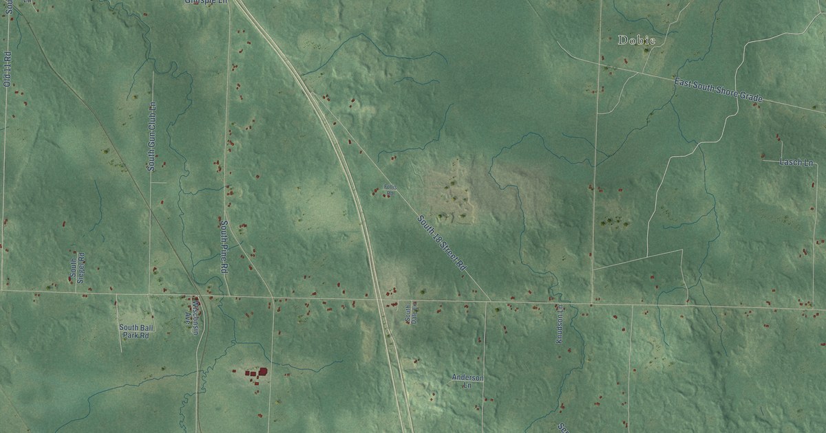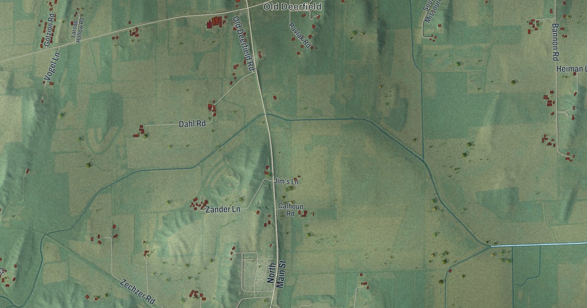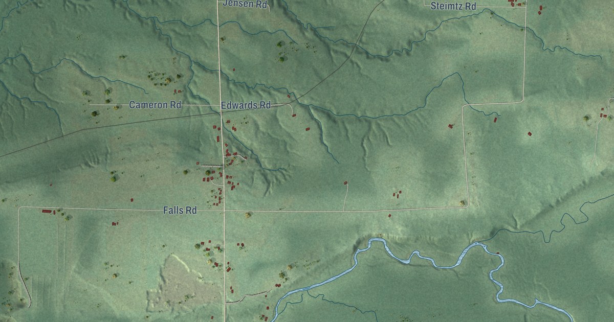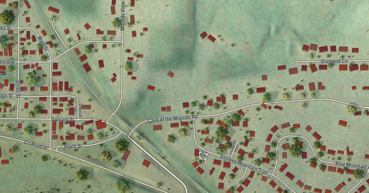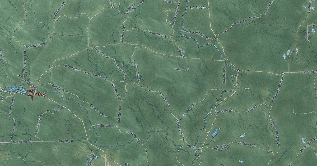
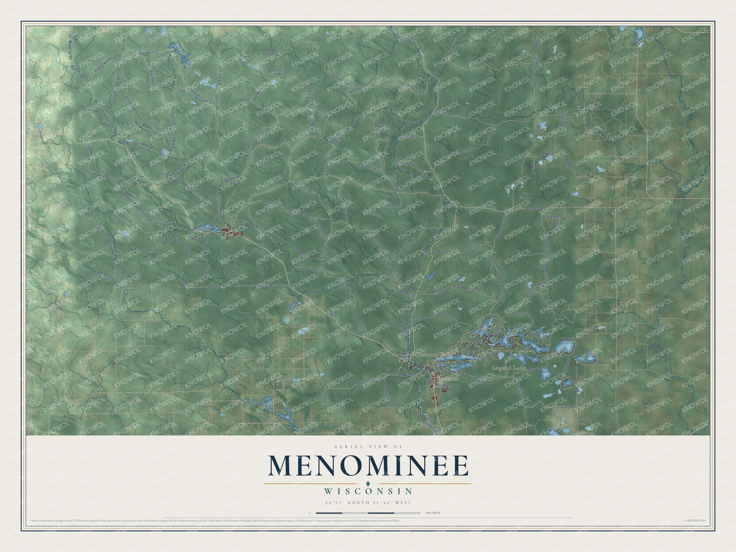
This beautifully detailed map of Menominee, Wisconsin was created in 2026 using aerial imagery combined with modern topographical, census, street and landmark data. It's a modern aerial view of Menominee in Menominee County, Wisconsin, that combines modern data with a vintage aesthetic. The roads feature printed names, and if you look closely you can find your exact house accurately shown in its correct location.
Explore an aerial view of Menominee, Wisconsin
On this map you'll find Legend Lake, Keshena, Zoar, Keshena Falls, Co Road Vv, South Line Road, Nis, Co Highway Vv West, Rush's Lk Road, West Branch Road, Long Corduroy Road, Juniper Road, and more. Each red shape is a building, so zoom in on the preview and look for yours.
Menominee is a town in Menominee County. The Census Bureau counted 4,255 people here in 2020. The map prints the town name in its title panel, with the coordinates below it.
Take a closer look at the Menominee map
Names on this map
These names are printed on this map.
Places: Legend Lake, Keshena, Zoar and Keshena Falls.
Streets and roads: County Road Vv, South Line Road, BIA Route 14, Nis, BIA Route 900, County Highway Vv West, Rush's Lk Road, BIA Route 39, BIA Route 115, West Branch Road, Long Corduroy Road, BIA Route 140.
More street names, A to Z
Ackley Road, Askenette Road, Bass Lake Road, BIA Route 16, BIA Route 18, BIA Route 19, BIA Route 20, BIA Route 22, BIA Route 29, BIA Route 30, BIA Route 34, BIA Route 38, BIA Route 44, BIA Route 73, BIA Route 100, BIA Route 101, BIA Route 102, BIA Route 104, BIA Route 105, BIA Route 106, BIA Route 107, BIA Route 108, BIA Route 109, BIA Route 110, BIA Route 111, BIA Route 112, BIA Route 113, BIA Route 114, BIA Route 116, BIA Route 117, BIA Route 118, BIA Route 119, BIA Route 120, BIA Route 121, BIA Route 122, BIA Route 123, BIA Route 124, BIA Route 125, BIA Route 126, BIA Route 127, BIA Route 128, BIA Route 129, BIA Route 130, BIA Route 131, BIA Route 132, BIA Route 133, BIA Route 136, BIA Route 137, BIA Route 138, BIA Route 139, BIA Route 141, BIA Route 143, BIA Route 145, BIA Route 147, BIA Route 148, BIA Route 151, BIA Route 155, BIA Route 159, BIA Route 161, BIA Route 163, BIA Route 165, BIA Route 167, BIA Route 171, BIA Route 173, BIA Route 300, BIA Route 321, BIA Route 346, BIA Route 401, BIA Route 620, BIA Route 621, BIA Route 631, Big Jim Zoar Road, Bonita Road, Box Elder Road, Brooks Lane, Camp 16 Road, Camp 18 Road, Camp 19 Road, Camp 21 Road, Camp 23 Road, Camp 24 Road, Camp 26 Road, Camp 28 Road, Camp 29 Road, Camp 33 Road, Camp One Road, Cedar Dam Road, Cemetery Road, County Highway Ww, County Road Aa, Crow Settlement Road, Dells Creek Road, Dells Road, Dickie Road, East County Line Road, East Line Road, Elton Road, Ernest Neconish Road, Evergreen Falls Road, Fern Road, Hill Road, Iron Gate Road, Joe Dick Road, Juniper Road, Lamotte Lake Road, Long Lake Road, Long Marsh Road, Lukes Road, Max Martin Road, Mayking Road, McCall Camp Road, Milk Run Road, Minnow Creek Road, Moshawquit Lake Road, National Guard Road, Neconish Settlement Road, Noseum Lake Road, Old South Branch Road, Oshkosh Road, Planting Camp Road, Ponfil Road, Rainbow Falls Road, Red River Road, Resvn Highway 38, Rice Bed Road, Richmond Road, Saint Joseph Church Road, Sanapaw Fields Road, Sand Road, South Branch Pathway, Spears Road, Spirit Rock Road, Spotted Fawn Trail, Trails End Road, Upper Bass Lake Road, Warrington Road, Zoar Pit Road.
Created by KNOWOL in 2026. The buildings are small red shapes, the roads carry their printed names, and shaded relief shows the shape of the land. The title panel reads "AERIAL VIEW OF MENOMINEE, WISCONSIN" with 44°59' NORTH 88°44' WEST.
It suits a den, a classroom or a front hall, and it makes a gift for anyone with Menominee roots. Open the preview and find the block you know. See sizes and frames for the Menominee map.