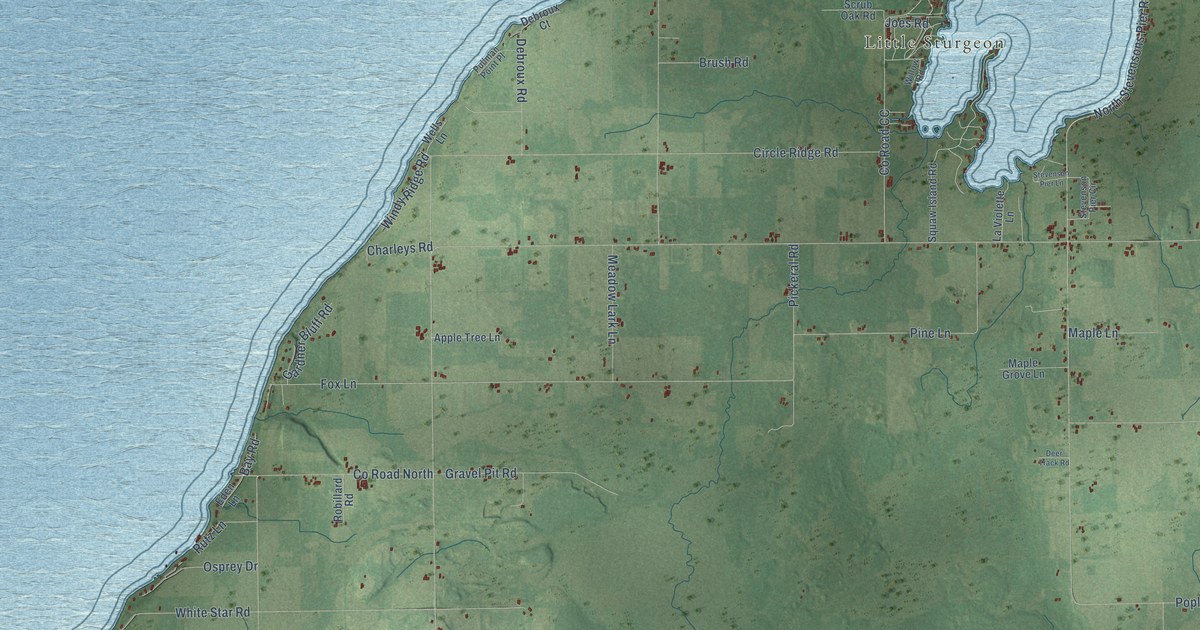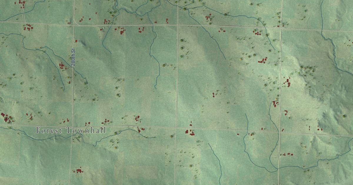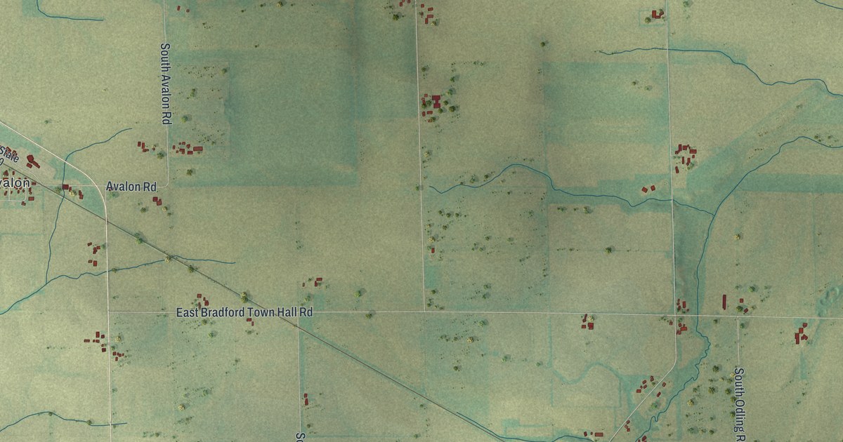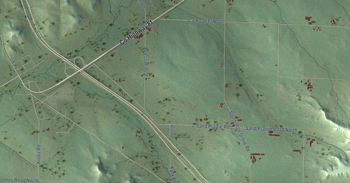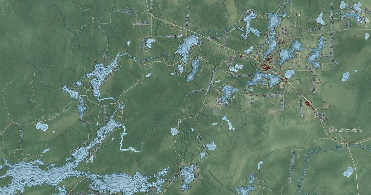
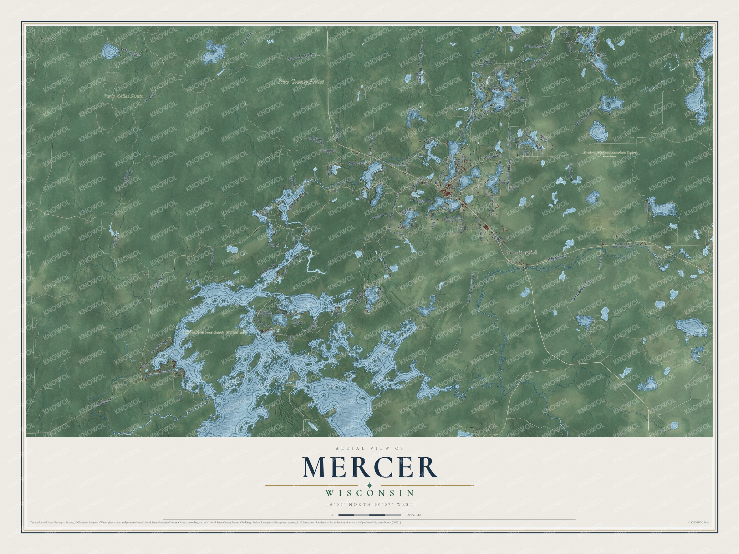
This beautifully detailed map of Mercer, Wisconsin was created in 2026 using aerial imagery combined with modern topographical, census, street and landmark data. It's a modern aerial view of Mercer in Iron County, Wisconsin, that combines modern data with a vintage aesthetic. The roads feature printed names, and if you look closely you can find your exact house accurately shown in its correct location.
Explore an aerial view of Mercer, Wisconsin
On this map you'll find Manitowish, Iron County Forest, Northern Highland American Legion State Forest, Turtle-Flambeau Scenic Waters Area, Twin Lakes Forest, Lake Six Road, Martha Lake Road, Sandy Beach Road, Weber Road, Co Highway Ff, Co Road Ff, Popko Circle East, and more. Each red shape is a building, so zoom in on the preview and look for yours.
Here is a piece of Mercer history, in the words of the record. The Town of Mercer puts it this way: "In 1894 the first train arrived in Mercer signaling the beginning of the early settlers, roads, mills, stores, and other businesses."
Mercer is a town in Iron County. The Census Bureau counted 1,649 people here in 2020.
Take a closer look at the Mercer map
Names on this map
These names are printed on this map.
Places: Manitowish, Iron County Forest, Northern Highland American Legion State Forest, Turtle-Flambeau Scenic Waters Area and Twin Lakes Forest.
Streets and roads: Lake Six Road, Martha Lake Road, Sandy Beach Road, Weber Road, County Highway Ff, County Road Ff, Popko Circle East, Moose Lake Road, Popko Circle West, Fisher Lake Road, Cedar Lake Circle, Murray Landing Road.
More street names, A to Z
1 Leg Road, Allyn Road, Arrowhead Drive, Ashe Road, Bambiland Road, Beaver Lodge Circle, Beaver Road, Belding Road, Black Lake Road, Blue Heron Ridge, Both Road, Boyer Road, Camp Nokomis Road, Carls Park Road, Cedar Ridge Road, Chippewa Road, Circle Lily Road, Clear Lake Road, Cramer Lake Road, Deer Lake Road, Delich Road, Downey Road, Dul Road, East Echo Lake Road, Fierick Road, Fisher Lake Road East, Fisherman's Landing Road, Flambeau Dam Road, Flowage View Drive, Forest Road, Forest Wonder Road, Gade Road, Garnet Street, Hadley Road, Horners Road, Joe's Shack Road, John Dul Road, Jones Road, Jugs Road, Kaiser Road, Kimmear Road, Klick Drive, Koshak Road, Lake of the Falls Road, Lakeshore Drive, Little Pike Road, Long Road, Lori Ann Lane, Manitowish River Access Road, Margaret Lake Road, Mays Road, Mercer Lake Circle South, Miller Road, North Catherine Lake Road, Old 51 Road, Old Highway 51, Old Pioneer Road, Omearas Road, Pierpont Drive, Pierpont Road, Piltz Road, Pine Forest Road, Pitt Road, Plunkett Road, Popkos Circle East, Popkos Circle West, Poplar Drive, Red Hat Road, Rice Lake Road, Roebels Park Road, Rogers Lane, Russell Brothers Road, Sand Lake Road, Scott Road, Shays Mill Road, Spider Lane, Swamp Creek Road, Thompson Trail, Three Ten Road, Timberline Road, Trails End Drive, Trude Lake Road, Ve Trail, Wallace Road, Weber Lake Road, West Echo Lake Road, West Lake Road, Wilson Lake Road.
Created by KNOWOL in 2026. The buildings are small red shapes, the roads carry their printed names, and shaded relief shows the shape of the land. The title panel reads "AERIAL VIEW OF MERCER, WISCONSIN" with 46°09' NORTH 90°07' WEST.
It suits a den, a classroom or a front hall, and it makes a gift for anyone with Mercer roots. Open the preview and find the block you know. See sizes and frames for the Mercer map.