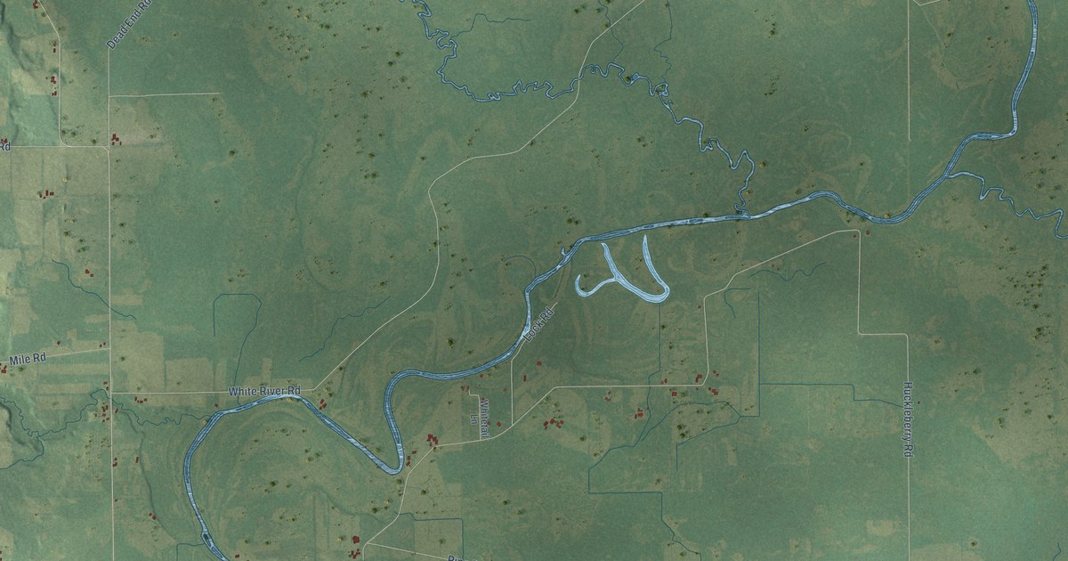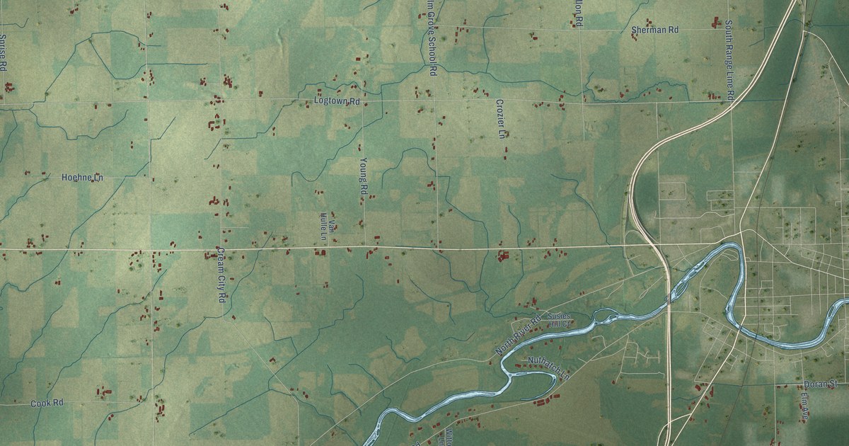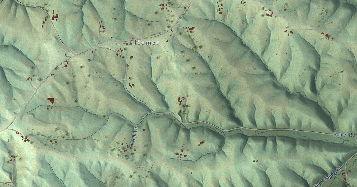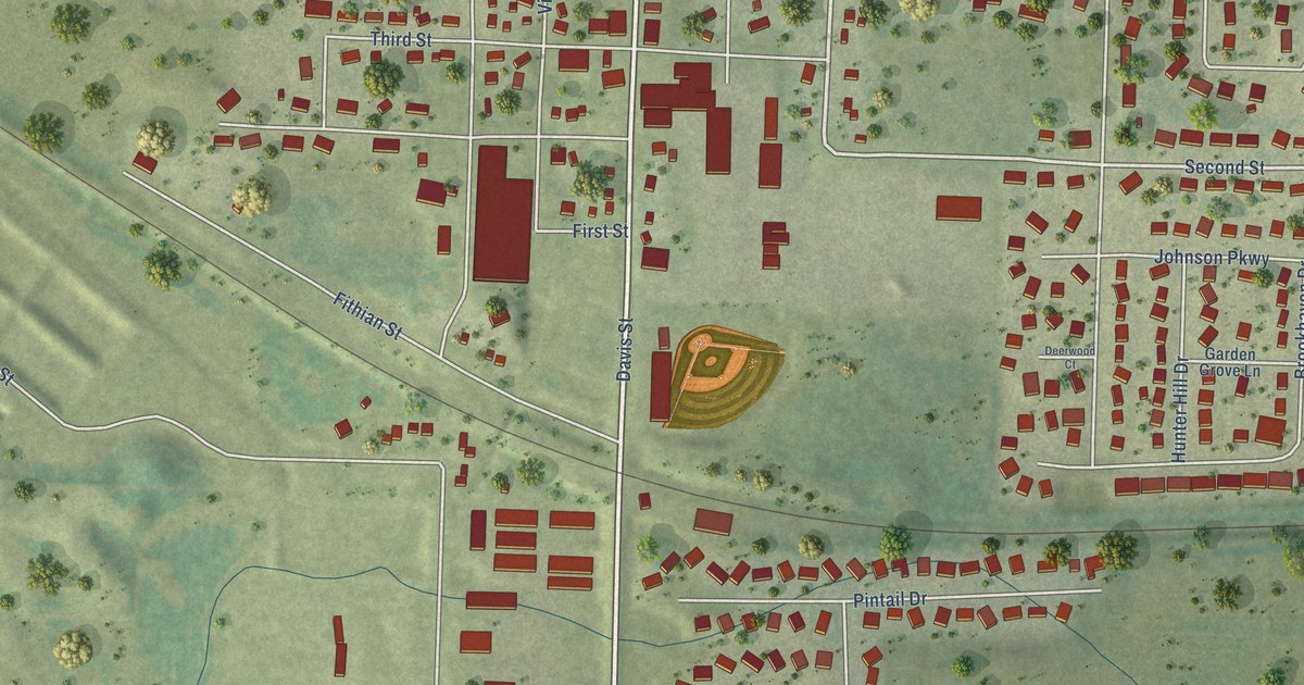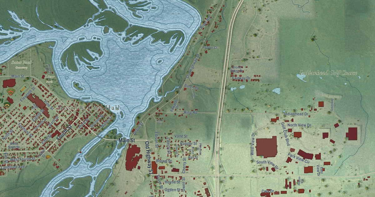
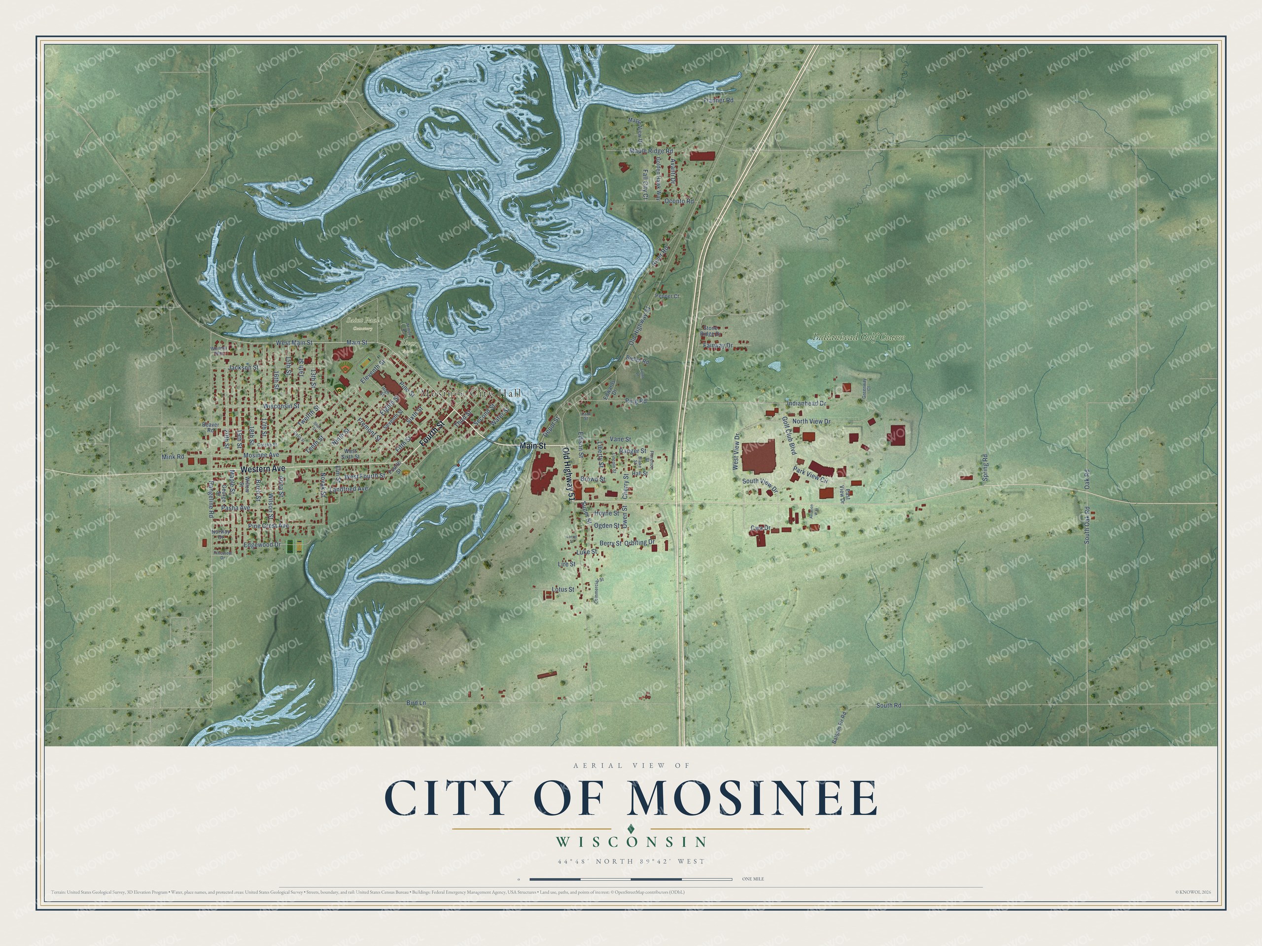
This beautifully detailed map of Mosinee, Wisconsin was created in 2026 using aerial imagery combined with modern topographical, census, street and landmark data. It's a modern aerial view of Mosinee in Marathon County, Wisconsin, that combines modern data with a vintage aesthetic. The roads feature printed names, and if you look closely you can find your exact house accurately shown in its correct location.
Explore an aerial view of Mosinee, Wisconsin
On this map you'll find Mosinee City Hall, River Park, Saint Paul Cemetery, Indianhead Golf Course, Main Street, Fourth Street, Old Highway 51, Western Avenue, West Main Street, Rangeline Road, Sixth Street, Owen Street, and more. Each red shape is a building, so zoom in on the preview and look for yours.
Every town has a first chapter, and Mosinee is no exception. The Marathon County History puts it this way: "Mosinee has an excellent school house, located in a grove of pine trees which gives it a beautiful setting."
Mosinee is a city in Marathon County. The Census Bureau counted 4,452 people here in 2020.
Take a closer look at the Mosinee map
Names on this map
These names are printed on this map.
Places: Mosinee City Hall, River Park, Saint Paul Cemetery and Indianhead Golf Course.
Streets and roads: Main Street, Fourth Street, Old Highway 51, Western Avenue, West Main Street, Rangeline Road, Sixth Street, Owen Street, Mosinee Avenue, West View Drive, Cwa Drive, Indianhead Drive.
More street names, A to Z
13th Street, 14th Street, 15th Street, 16th Street, 17th Street, 18th Street, 19th Street, 20th Street, Anna Street, Armory Road, Avanti Drive, Aviation Way, Balsam Fir Road, Beaver Road, Berry Street, Bielen Road, Birch Street, Bird Lane, Blake Street, Brown Street, Cherry Street, Commercial Street, Creske Street, Davis Street, Depot Street, East View Drive, Edgewood Drive, Edison Street, Edwards Drive, Eighth Street, Eleventh Street, Elm Street, Fairway Drive, Fall City Court, Fifth Street, Figon Lane, Flanner Road, Florence Street, Fremont Street, George Street, Golden Hawk Way, Golf Club Boulevard, Greenway Court, Hall Street, High Street, Hoyne Street, Jackson Street, Landfried Avenue, Lark Street, Liberty Street, Lincoln Street, Lire Street, Lorrel Street, Lotus Street, Luke Street, Maple Ridge Road, Maple Street, Maple View Drive, Mink Road, Ninth Street, North View Drive, Norway Drive, Novak Street, Oak Road, Oconto Road, Ogden Street, Orbiting Drive, Park View Circle, Pasha Avenue, Pepper Court, Pine Crest Avenue, Pine Street, Pineview Drive, Ranger Street, Ring Road, River Road, Second Street, Seventh Street, Short Street, South Oak Road, South Road, South View Drive, Spring Road, Stone Ridge Drive, Super Street, Tenth Street, Third Street, Twelfth Street, Vane Street, Water Street, West Fourth Street, West Sixth Street, Whitney Way, Willow Street, Wilson Street, Wisconsin Street.
Created by KNOWOL in 2026. The buildings are small red shapes, the roads carry their printed names, and shaded relief shows the shape of the land. The title panel reads "AERIAL VIEW OF CITY OF MOSINEE, WISCONSIN" with 44°48' NORTH 89°42' WEST.
Hang it in the hallway, the office or the cabin, or give it to someone who left Mosinee and still calls it home. Open the preview and look for a street you know. See sizes and frames for the Mosinee map.