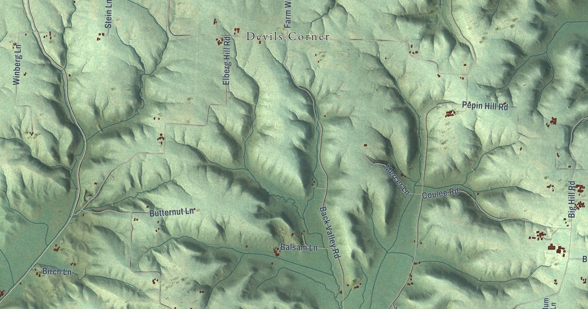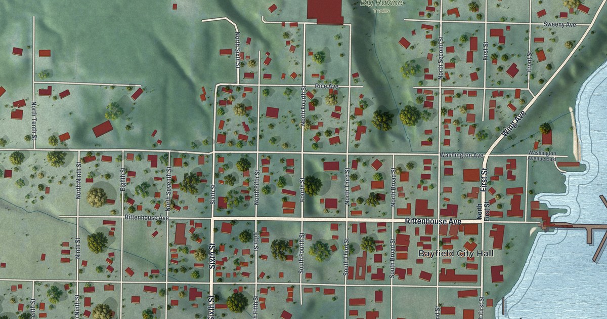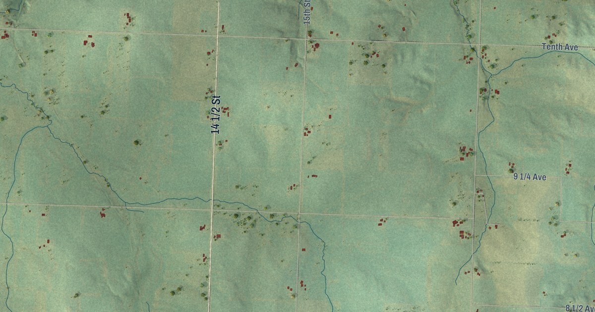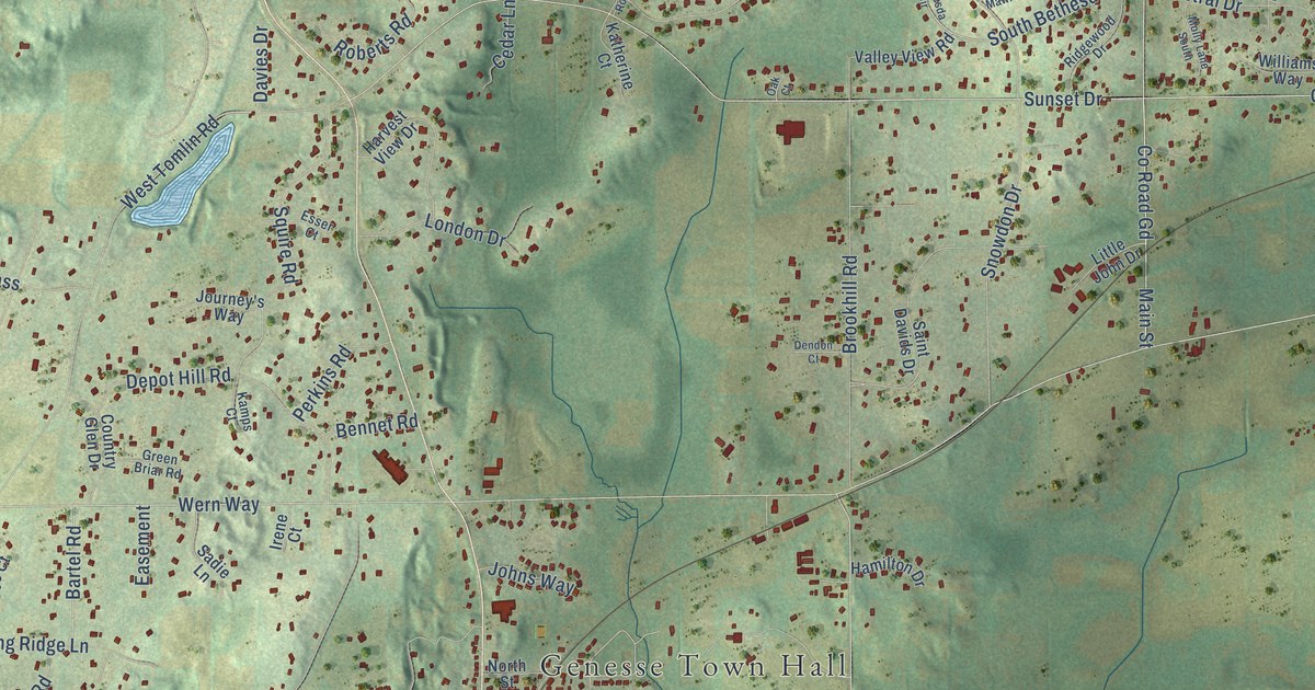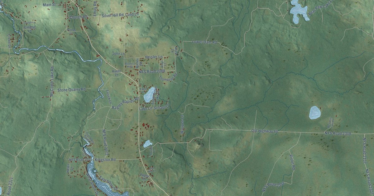
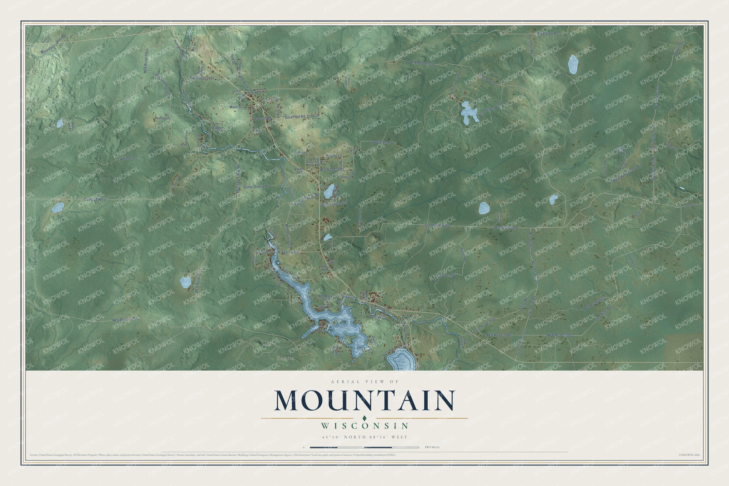
This beautifully detailed map of Mountain, Wisconsin was created in 2026 using aerial imagery combined with modern topographical, census, street and landmark data. It's a modern aerial view of Mountain in Oconto County, Wisconsin, that combines modern data with a vintage aesthetic. The roads feature printed names, and if you look closely you can find your exact house accurately shown in its correct location.
Explore an aerial view of Mountain, Wisconsin
On this map you'll find Bonita, NFS Road 2309, Forest Road 2107, Bachman Road, Riverview Road, Old 64, NFS Road 2107, Whiffen Lane, Airport Road, Kong Airport Road, NFS Road 2094, Bonita Road, and more. Each red shape is a building, so zoom in on the preview and look for yours.
Mountain is a town in Oconto County. The Census Bureau counted 832 people here in 2020. The map prints the town name in its title panel, with the coordinates below it.
Take a closer look at the Mountain map
Names on this map
These names are printed on this map.
Places: Bonita.
Streets and roads: NFS Road 2309, Forest Road 2107, Bachman Road, Riverview Road, Old 64, NFS Road 2107, Whiffen Lane, Airport Road, Kong Airport Road, NFS Road 2094, Bonita Road, NFS Road 2308.
More street names, A to Z
2316 National Forest Road, Alice Lane, Bagley Rapids Road, Bauman Lane, Bear Paw Camp Lane, Bear Paw Lake Lane, Bear Paw Road, Bierbasz Lane, Bonita Lane, Bowman Lane, Business Parkway, Cabin Lane, Church Road, Chute Dam Lane, County Road West, Crescent Drive, Crowe Lane, Daisy Road, David Lane, Depot Rapids Road, Doran Road, East Nier Lane, East Shore Drive, Elbe Lane, Emily Road, Forest Road 2601, Fosick Lane, Gillette Lane, Golden Rod Lane, Heisler Lane, Helen Lane, Hillside Drive, Hines Creek Lane, Houston Lane, Iron Bridge Road, Jack Pine Road, Jazz Lane, Jerrys Lane, John Lane, Joppa Lane, Joseph Lane, Kingston Road, Kuehl Lane, Lake Lane, Lake Shore Lane, Leos Road, Lower Bagley Rapids Lane, Lower Dam Road, Lund Lane, Main Street, Marigold Lane, McComb Lake Road, Mountain Lakes Road, NFS Road 2007, NFS Road 2067, NFS Road 2069, NFS Road 2071, NFS Road 2072, NFS Road 2086, NFS Road 2088, NFS Road 2106, NFS Road 2112, NFS Road 2301, NFS Road 2302, NFS Road 2305, NFS Road 2307, NFS Road 2311, NFS Road 2630, NFS Road 2973, North Anderson Lake Drive, Old 32, Old Highway 64, Palmer Lane, Pansy Lane, Parkway Drive, Pat Lake Road, Pavlat Lane, Pit Lane, Poplar Lane, Rock Hill Lane, Schaut Lane, Schulz Lane, Section 4 Lane, Silver Hill Road, South Green Lake Lane, South Shore Drive, Sparkys Lane, Spring Creek Road, Stone Quarry Road, Sunset Lane, Swamp Lane, Thompson Road, Twin Pine Road, Violet Road, Waupee Lane, Waupee River Drive, Weller Road, West Butler Rock Road, Westphall Lake Road, West Shore Drive.
Created by KNOWOL in 2026. The buildings are small red shapes, the roads carry their printed names, and shaded relief shows the shape of the land. The title panel reads "AERIAL VIEW OF MOUNTAIN, WISCONSIN" with 45°10' NORTH 88°26' WEST.
Hang it in the hallway, the office or the cabin, or give it to someone who left Mountain and still calls it home. Open the preview and look for a street you know. See sizes and frames for the Mountain map.