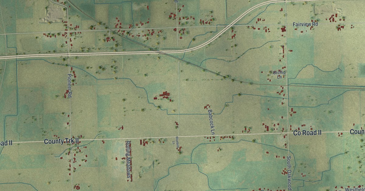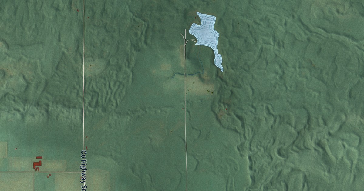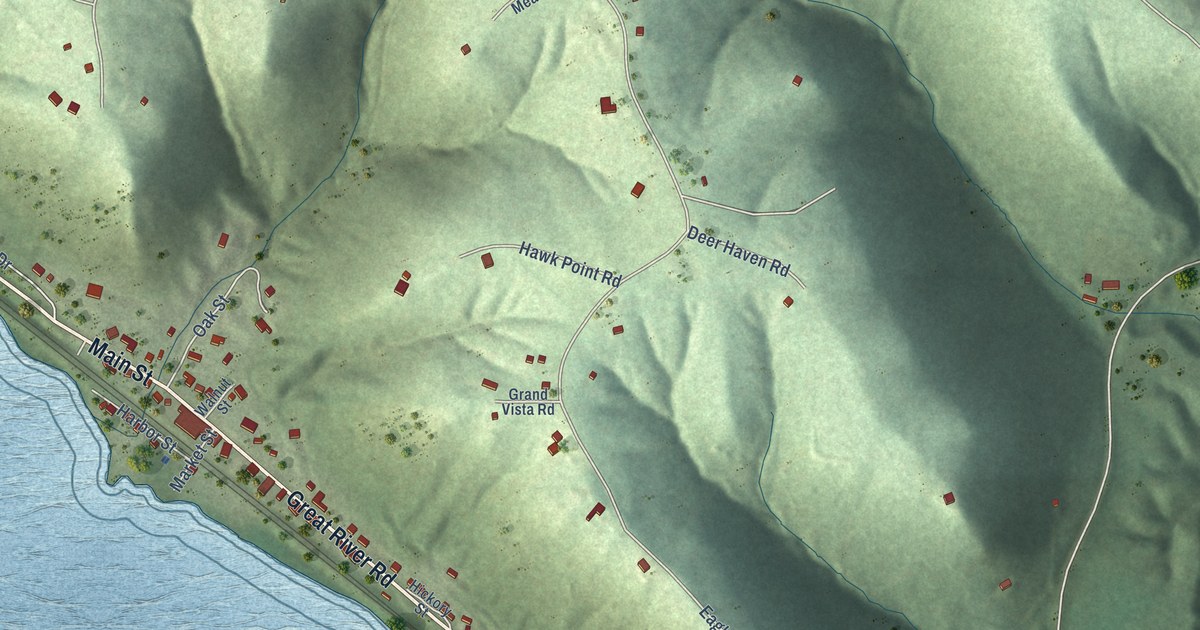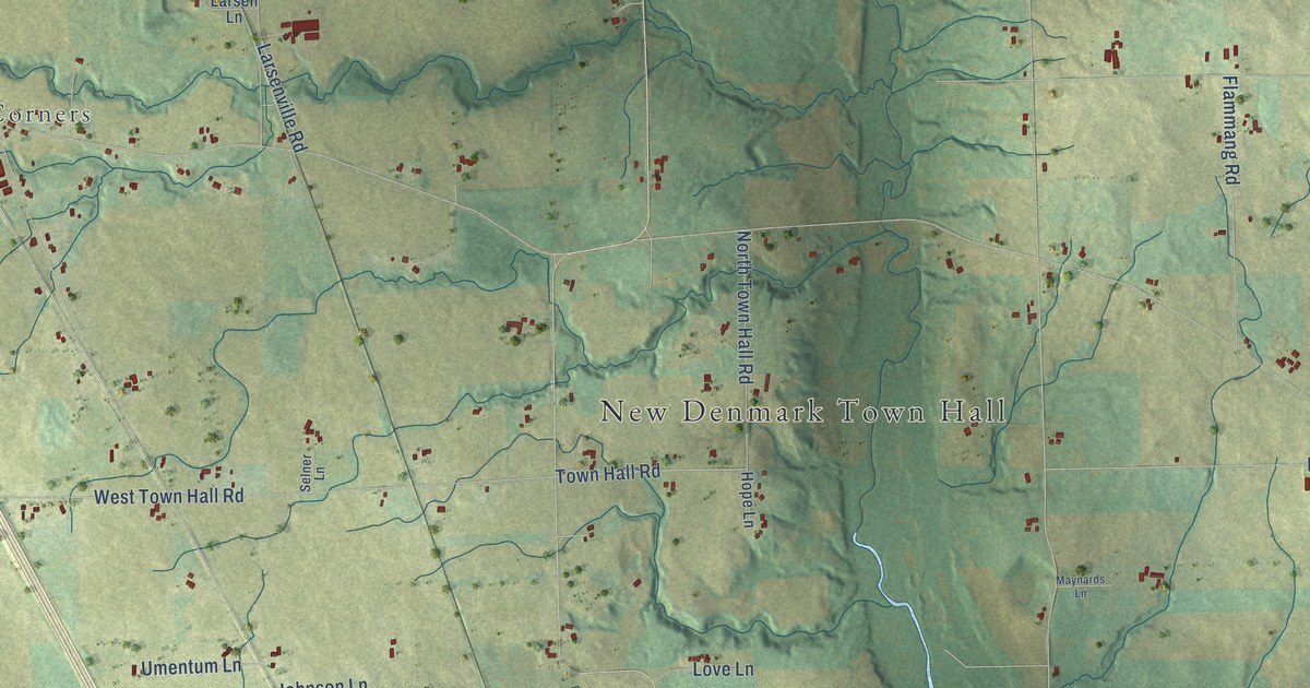
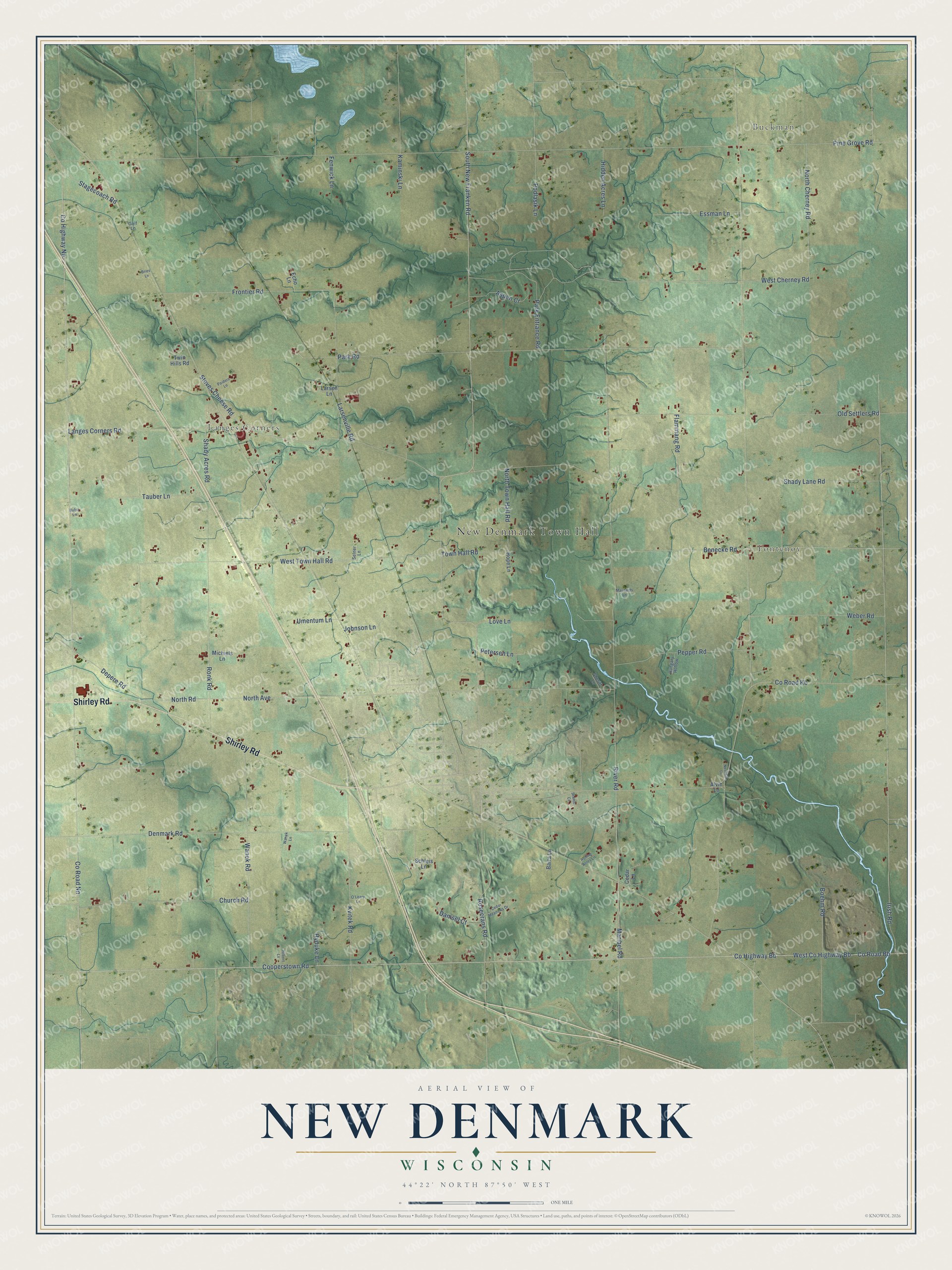
This beautifully detailed map of New Denmark, Wisconsin was created in 2026 using aerial imagery combined with modern topographical, census, street and landmark data. It's a modern aerial view of New Denmark in Brown County, Wisconsin, that combines modern data with a vintage aesthetic. The roads feature printed names, and if you look closely you can find your exact house accurately shown in its correct location.
Explore an aerial view of New Denmark, Wisconsin
On this map you'll find New Denmark Town Hall, Buckman, Fontenoy, Langes Corners, Shirley Road, Cooperstown Road, Rosecrans Road, Co Road Bb, West Co Highway Bb, Co Road Nn, Town Hall Road, Maribel Road, and more. Each red shape is a building, so zoom in on the preview and look for yours.
New Denmark has a story worth telling. The History of Brown County puts it this way: "The town of New Denmark, settled by a Danish colony about 1848, is one of the most flourishing and steadily increasing in population of the county towns."
New Denmark is a town in Brown County. The Census Bureau counted 1,562 people here in 2020.
Take a closer look at the New Denmark map
Names on this map
These names are printed on this map.
Places: New Denmark Town Hall, Buckman, Fontenoy and Langes Corners.
Streets and roads: Shirley Road, Cooperstown Road, Rosecrans Road, County Road Bb, West County Highway Bb, County Road Nn, Town Hall Road, Maribel Road, West Cherney Road, Langes Corners Road, Pine Grove Road, Irish Road.
More street names, A to Z
Alvin Lane, Aspen Court, Barta Lane, Benecke Road, Boehm Road, Bries Lane, Bufra Lane, Cedar Lane, Cedar Meadows Drive, Church Road, County Highway Bb, County Highway Nn, County Road Kb, Damsel Court, Denmark Road, Depere Road, Echo Lane, Essman Lane, Fenwick Lane, Flammang Road, Frontier Road, Golf Lane, Hidden Acres Lane, Hilbert Lane, Hope Lane, Hungary Hollow, Hyduke Lane, Johnson Lane, Kaminski Lane, Kvitek Road, Larsen Lane, Larsenville Road, Love Lane, Maynards Lane, Michiels Lane, Neshota Lane, North Avenue, North Cherney Road, North Road, North Town Hall Road, O'Leary Lane, Old Settlers Road, Paiders Lane, Park Entrance Road, Park Road, Pepper Road, Petersen Lane, Podlasik Lane, River Road, Rolling Acres Lane, Ronk Road, Scenic Court, Schleis Lane, Selner Lane, Shady Acres Road, Shady Lane Road, Sheriff Lane, South New Franken Road, Stagecoach Road, Steves Cheese Road, Tauber Lane, Twin Hills Road, Umentum Lane, Wanek Lane, Wanek Road, Weber Road, West Town Hall Road.
Created by KNOWOL in 2026. The buildings are small red shapes, the roads carry their printed names, and shaded relief shows the shape of the land. The title panel reads "AERIAL VIEW OF NEW DENMARK, WISCONSIN" with 44°22' NORTH 87°50' WEST.
It looks right in a kitchen, an office or a den, and it's a gift for anyone who grew up in New Denmark or moved away. Open the preview and find your street. See sizes and frames for the New Denmark map.