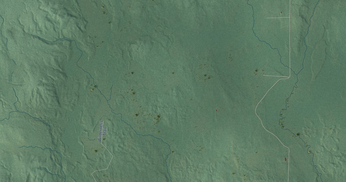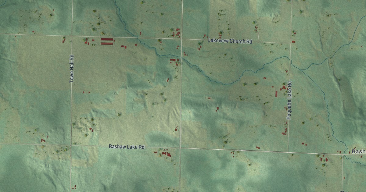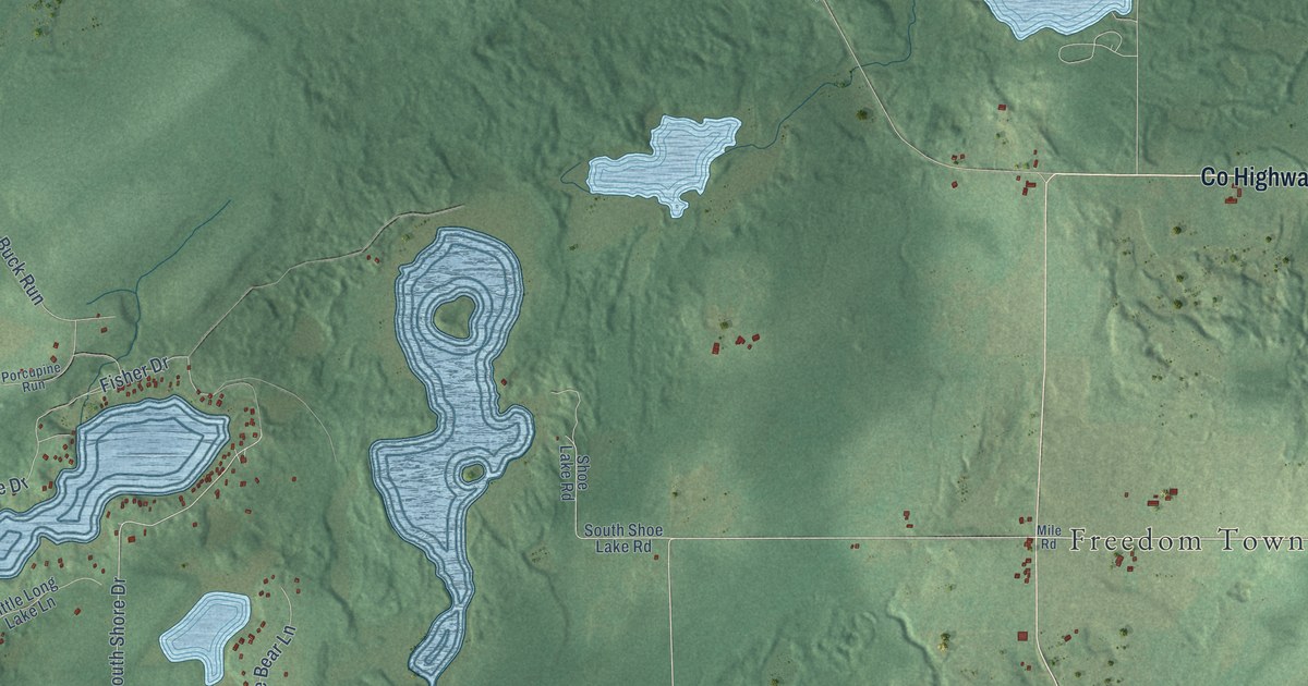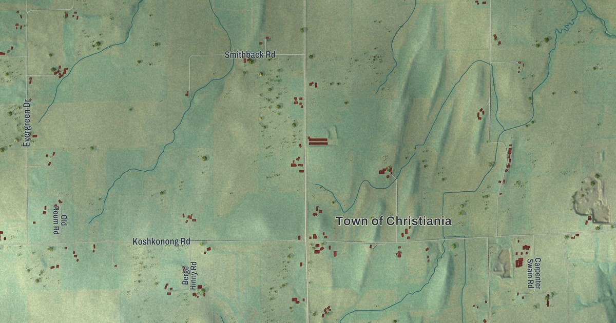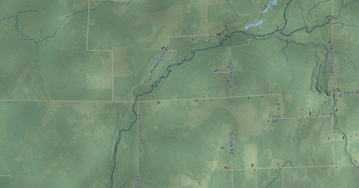
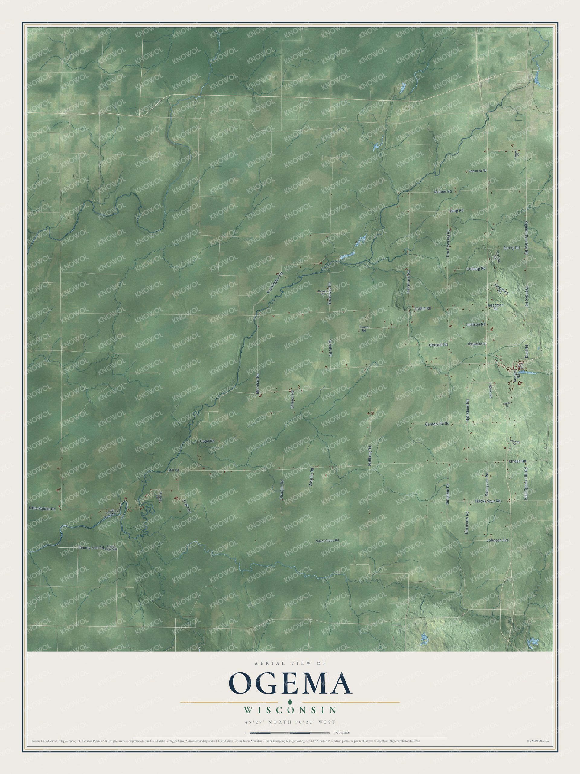
This beautifully detailed map of Ogema, Wisconsin was created in 2026 using aerial imagery combined with modern topographical, census, street and landmark data. It's a modern aerial view of Ogema in Price County, Wisconsin, that combines modern data with a vintage aesthetic. The roads feature printed names, and if you look closely you can find your exact house accurately shown in its correct location.
Explore an aerial view of Ogema, Wisconsin
On this map you'll find County Line Road, Johnson Avenue, Ogema-Prentice Road, Prentice Road, Linden Road, Ten Crossing Road, Hallberg Road, Pennington Road, Hallstrand Road, Morner Road, Bjorklund Road, Centerville Road, and more. Each red shape is a building, so zoom in on the preview and look for yours.
Here is a piece of Ogema history, in the words of the record. The History of Northern Wisconsin puts it this way: "D. M. Holmes has in operation a saw-mill with a capacity for about 20,000,000 feet per year, at the village of Ogema."
Ogema is a town in Price County. The Census Bureau counted 727 people here in 2020.
Take a closer look at the Ogema map
Names on this map
These names are printed on this map.
Streets and roads: County Line Road, Johnson Avenue, Ogema-Prentice Road, Prentice Road, Linden Road, Ten Crossing Road, Hallberg Road, Pennington Road, Hallstrand Road, Morner Road, Bjorklund Road, Centerville Road.
More street names, A to Z
Bergland Road, Berg Road, Broadway Road, Carlson Road, Carter Road, Clearview Road, Colberg Road, Cudd Road, Dahl Road, East Ogema Hill Road, First Street, Forestberg Road, Forest Road 586, Fryk Lane, Hanson Road, Johnson Road, Josephson Road, Kearny Road, Kubes Lane, Lagoon Road, Larkin Road, Little Rapids Road, Lukes Heights Lane, Macky Spur Road, Meridian Road, Mill Road, Otteson Road, Schalk Road, Shauger Road, Shimon Road, Silver Creek Road, Smokey Road, Spring Road, Sunnyside Road, Tonys Road, Veenstra Road, Westberg Road, Westlin Road, Wickdale Road.
Created by KNOWOL in 2026. The buildings are small red shapes, the roads carry their printed names, and shaded relief shows the shape of the land. The title panel reads "AERIAL VIEW OF OGEMA, WISCONSIN" with 45°27' NORTH 90°22' WEST.
It suits a den, a classroom or a front hall, and it makes a gift for anyone with Ogema roots. Open the preview and find the block you know. See sizes and frames for the Ogema map.