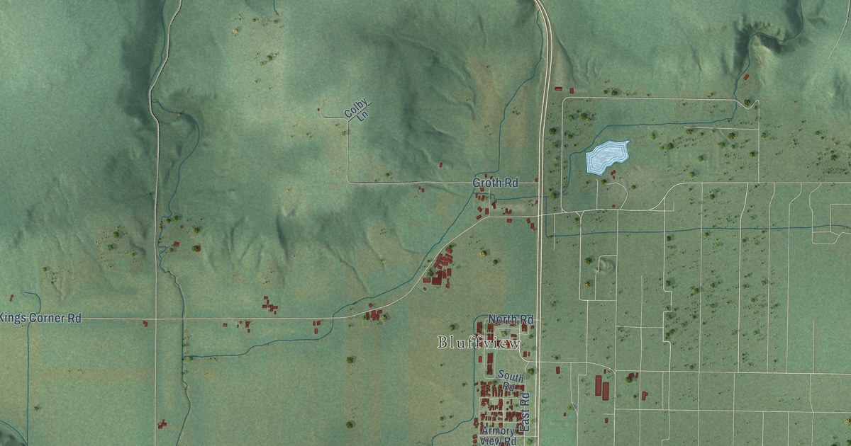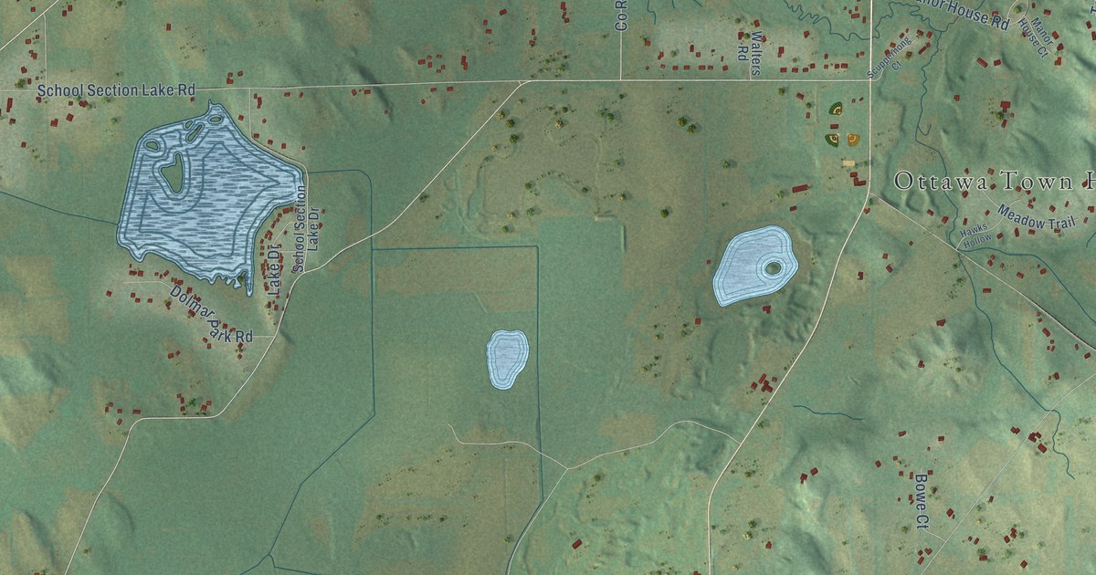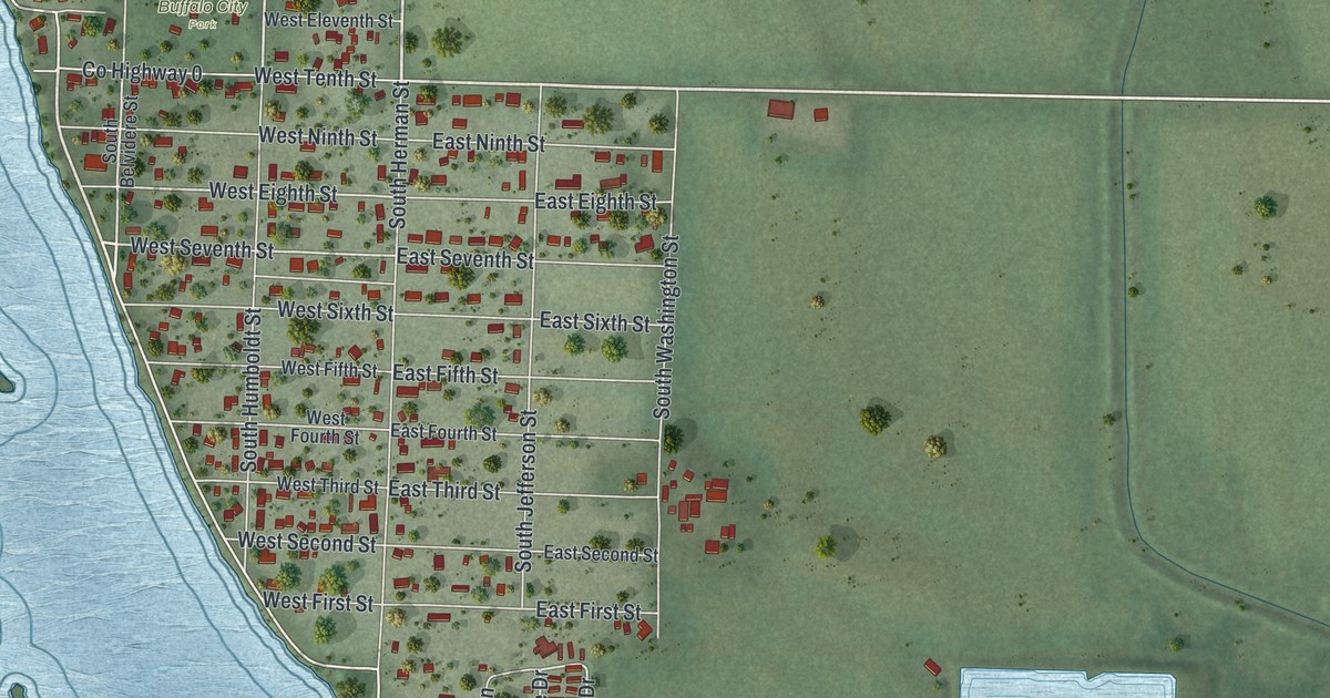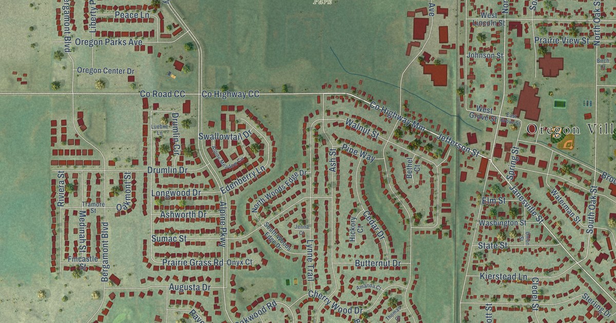
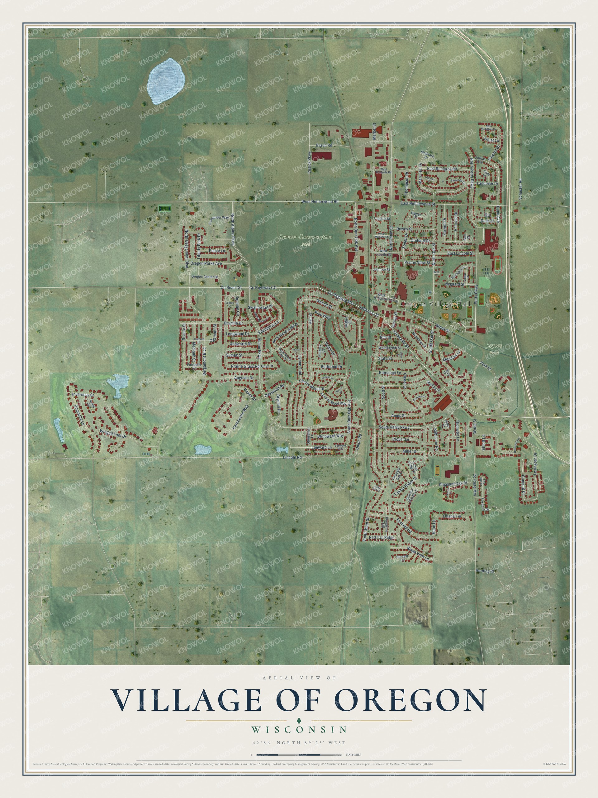
This beautifully detailed map of Oregon, Wisconsin was created in 2026 using aerial imagery combined with modern topographical, census, street and landmark data. It's a modern aerial view of Oregon in Dane County, Wisconsin, that combines modern data with a vintage aesthetic. The roads feature printed names, and if you look closely you can find your exact house accurately shown in its correct location.
Explore an aerial view of Oregon, Wisconsin
On this map you'll find Oregon Village Hall, Jaycee Park, Lerner Conservation Park, Janesville Street, Dunn Avenue, Perry Parkway, Co Highway Mm, Jefferson Street, Vinyard Drive, North Main Street, East Netherwood Street, Concord Drive, and more. Each red shape is a building, so zoom in on the preview and look for yours.
Oregon has a story worth telling. The Internet Archive puts it this way: "The Chicago and Northwestern railroad passed through the town,
entering on the south line, on section 36, passes out on the north line on
section 2."
Oregon is a village in Dane County. The Census Bureau counted 11,179 people here in 2020.
Take a closer look at the Oregon map
Names on this map
These names are printed on this map.
Places: Oregon Village Hall, Jaycee Park and Lerner Conservation Park.
Streets and roads: Janesville Street, Dunn Avenue, Perry Parkway, County Highway Mm, Jefferson Street, Vinyard Drive, North Main Street, East Netherwood Street, Concord Drive, South Oak Street, North Oak Street, Prairie Grass Road.
More street names, A to Z
Alpine Meadow Circle, Alpine Parkway, Amanda Court, Ames Street, Ash Street, Ashworth Drive, Augusta Drive, Autumn Woods Lane, Bergamont Boulevard, Bethel Court, Birch Court, Braun Road, Brook Street, Brynhill Drive, Burning Wood Way, Butternut Drive, Carnoustie Way, Cedar Drive, Cell Court, Charles Court, Chelsea Court, Cherry Wood Drive, Cledel Street, Clover Lane, County Highway CC, County Road CC, County Road Mm, Cusick Parkway, Dale Drive, Dewey Street, Drumlin Circle, Drumlin Drive, East Grove Street, East Lincoln Street, East Richards Road, Edenberry Lane, Ellen Court, Elliott Lane, Elm Street, Emily Circle, Fairfax Avenue, Farwell Drive, Fincastle Street, Foxboro Drive, Foxfield Road, Fox Run Court, Franklin Street, Gail Court, Harding Street, Harvest Circle, Hayler Court, Hickory Court, Hillcrest Drive, Inverness Street, Jacob Circle, Jenna Court, Jill Court, Johnson Street, Kassander Way, Katie Lane, Kennedy Drive, Kierstead Lane, Landover Drive, Leeward Lane, Leeward Way, Lexington Drive, Liberty Park Drive, Liliana Terrace, Lincoln Road, Longwood Drive, Luebke Lane, Lynne Trail, Market Street, Meadow Lane, Medinah Street, Merri Hill Drive, Miller Drive, New Hampton Drive, North Alpine Parkway, North Bergamont Boulevard, North Burr Oak Avenue, North Perry Parkway, North Woods Edge Drive, Nygaard Street, Oakmont Street, Oakwood Road, Onyx Court, Orchard Drive, Oregon Center Drive, Oregon Parks Avenue, Park Street, Peace Lane, Peregrine Trail, Pine Way, Pleasant Oak Court, Pleasant Oak Drive, Potomac Place, Prairie View Street, Raven Court, Red Tail Ridge, Ridge View Lane, Rinpoche Lane, Riviera Street, Robinson Road, Rosewood Avenue, Saratoga Circle, Schuster Road, Scott Street, Soden Drive, South Burr Oak Avenue, South Main Street, South Perry Parkway, South Woods Edge Drive, Spring Street, State Street, Sterling Drive, Stoddard Drive, Stonebriar Lane, Sumac Street, Swallowtail Drive, Thomas Court, Thompson Drive, Thomson Lane, Timber Ridge Court, Timber Ridge Drive, Tramore Street, Union Road, Union Street, Veldor Street, Village View Court, Violet Lane, Walnut Street, Washington Street, Waterman Street, West Grove Street, West Lincoln Street, West Monroe Street, West Netherwood Road, West Richards Road, Windward Way, Winged Foot Drive, Wolfe Street.
Created by KNOWOL in 2026. The buildings are small red shapes, the roads carry their printed names, and shaded relief shows the shape of the land. The title panel reads "AERIAL VIEW OF VILLAGE OF OREGON, WISCONSIN" with 42°56' NORTH 89°23' WEST.
It looks right in a kitchen, an office or a den, and it's a gift for anyone who grew up in Oregon or moved away. Open the preview and find your street. See sizes and frames for the Oregon map.