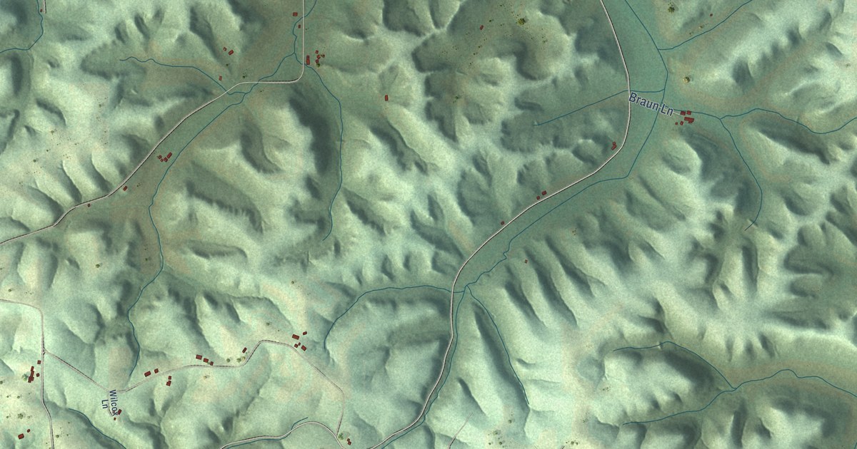
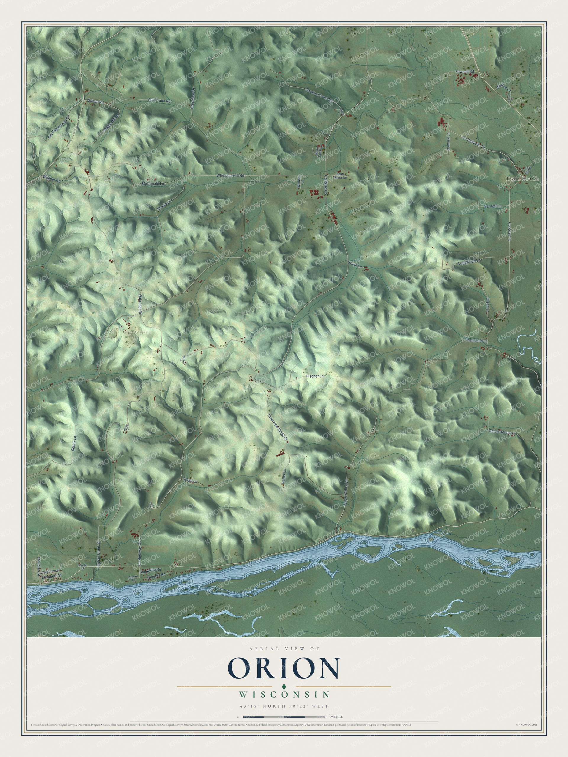
This beautifully detailed map of Orion, Wisconsin was created in 2026 using aerial imagery combined with modern topographical, census, street and landmark data. It's a modern aerial view of Orion in Richland County, Wisconsin, that combines modern data with a vintage aesthetic. The roads feature printed names, and if you look closely you can find your exact house accurately shown in its correct location.
Explore an aerial view of Orion, Wisconsin
On this map you'll find Twin Bluffs, Weggy Winery, Co Highway Oo, Indian Creek Drive, Bogus Valley Lane, Co Highway Tb, Co Road Tb, Oakridge Drive, Riverview Ridge Drive, Ash Creek Road, Whippoorwill Road, Stibbe Hill Road, and more. Each red shape is a building, so zoom in on the preview and look for yours.
Here is a piece of Orion history, in the words of the record. The History of Crawford and Richland Counties puts it this way: "The village was first named Richmond, but when application for the establishment of a postoffice was made it was found that there was another postoffice of that name in the State, and the name of Orion, which was suggested by Judge A. B. Slaughter, was adopted."
Orion is a town in Richland County. The Census Bureau counted 541 people here in 2020.
Take a closer look at the Orion map
Names on this map
These names are printed on this map.
Places: Twin Bluffs and Weggy Winery.
Streets and roads: County Highway Oo, Indian Creek Drive, Bogus Valley Lane, County Highway Tb, County Road Tb, Oakridge Drive, Riverview Ridge Drive, Ash Creek Road, Whippoorwill Road, Stibbe Hill Road, Thompson Lane, Cardinal Crest Road.
More street names, A to Z
Aigner Lane, Barnett Lane, Bomkamp Road, Bovee Lane, Braun Lane, Catherine Street, County Road Oo, Crestview Drive, Downey Lane, Elizabeth Street, Fischer Lane, Gingers Road, Harry Lane, Henry Clark Lane, Klinzing Lane, Longwood Lane, McDonald Lane, Meridian Street, Old Highway 80 Drive, Olson Lane, Onion Hollow Lane, Oriole Lane, Potter Lane, Santa Klaus Lane, Sawmill Road, Shedivy Lane, Sobek Lane, Sorge Lane, Stibbe Road, Thiede Road, Twin Bluff Drive, Wallace Lane, Wegner Road, Welton Lane, Wilcox Lane.
Created by KNOWOL in 2026. The buildings are small red shapes, the roads carry their printed names, and shaded relief shows the shape of the land. The title panel reads "AERIAL VIEW OF ORION, WISCONSIN" with 43°15' NORTH 90°22' WEST.
It suits a den, a classroom or a front hall, and it makes a gift for anyone with Orion roots. Open the preview and find the block you know. See sizes and frames for the Orion map.