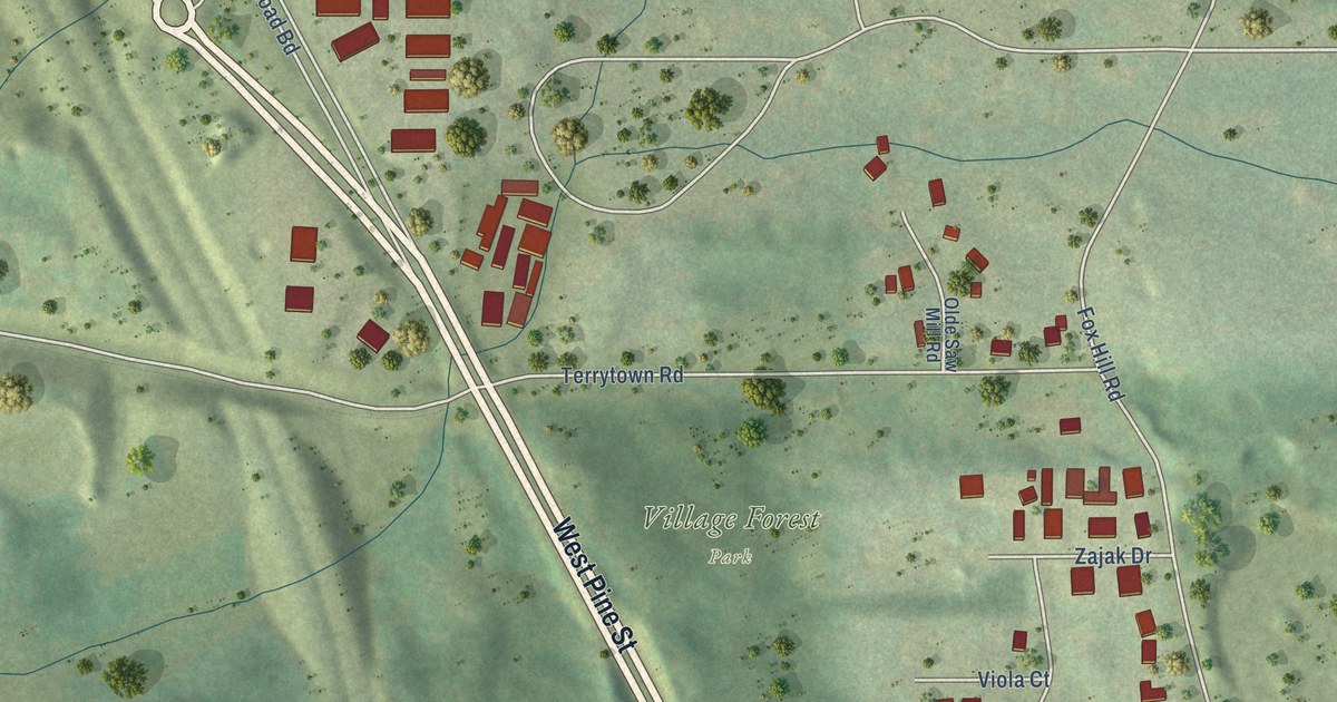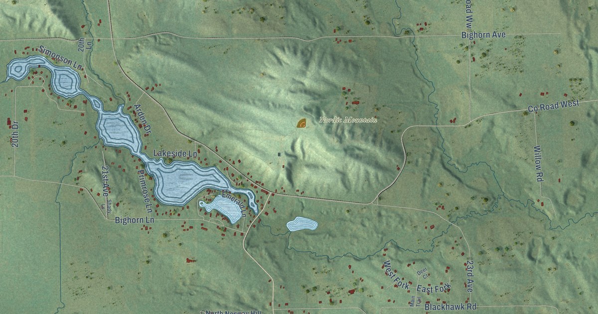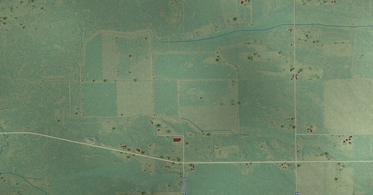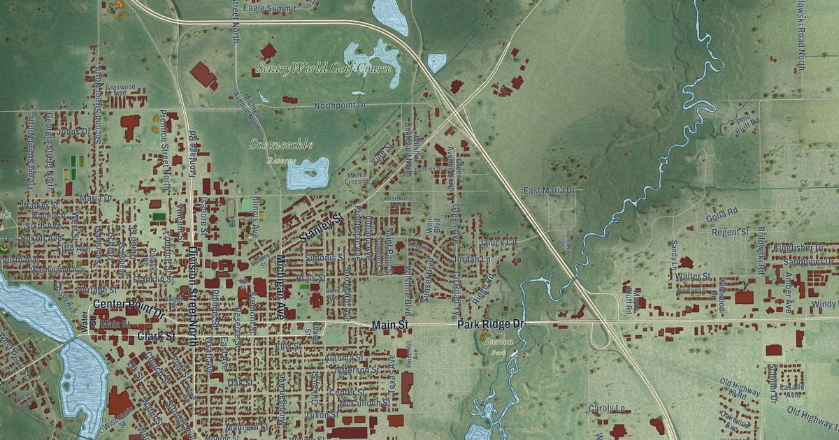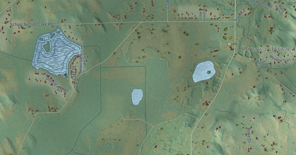
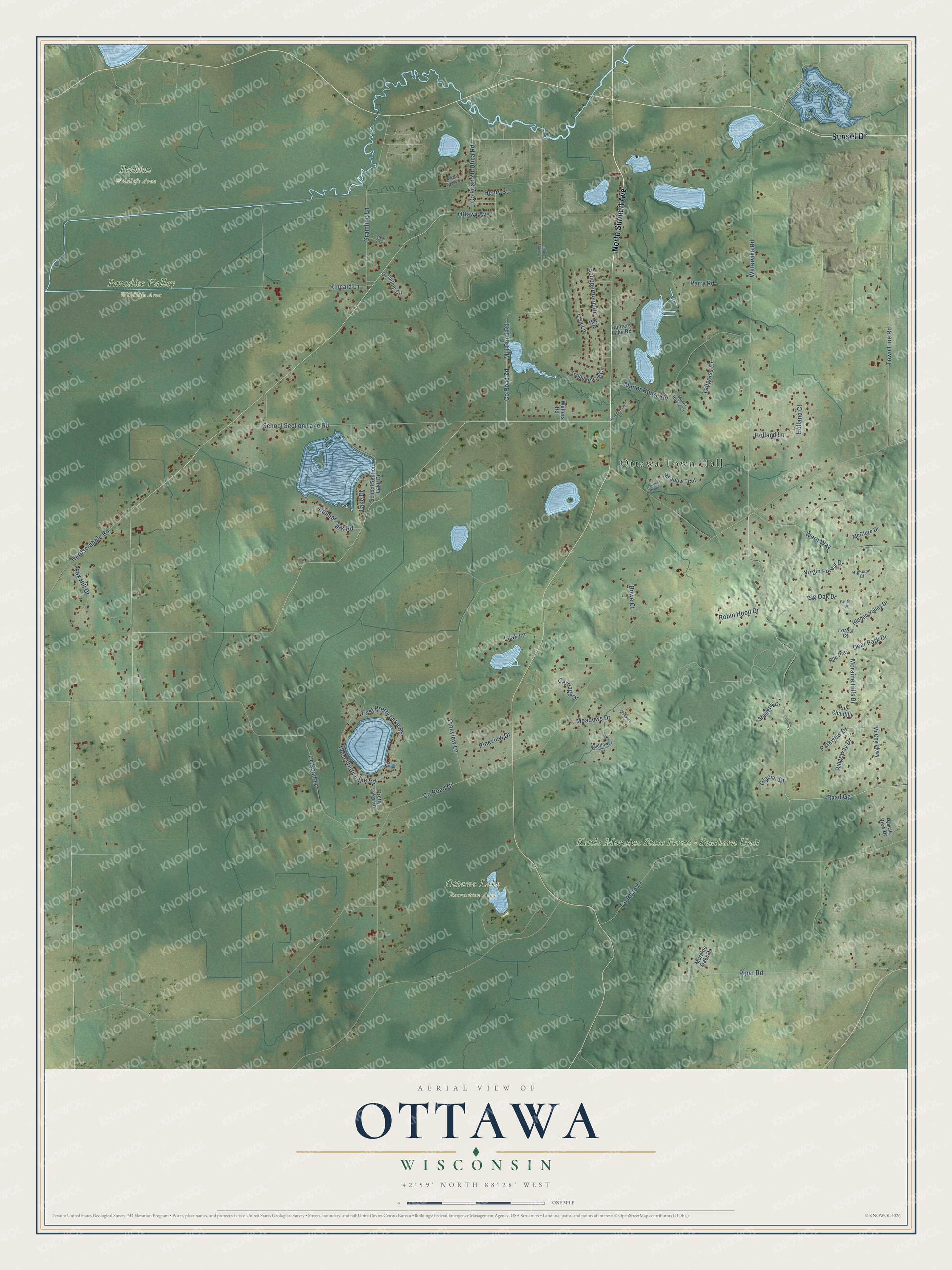
This beautifully detailed map of Ottawa, Wisconsin was created in 2026 using aerial imagery combined with modern topographical, census, street and landmark data. It's a modern aerial view of Ottawa in Waukesha County, Wisconsin, that combines modern data with a vintage aesthetic. The roads feature printed names, and if you look closely you can find your exact house accurately shown in its correct location.
Explore an aerial view of Ottawa, Wisconsin
On this map you'll find Ottawa Town Hall, Kettle Moraine State Forest – Southern Unit, Ottawa Lake Recreation Area, Paradise Valley Wildlife Area, Perkins Wildlife Area, North Summit Avenue, Sunset Drive, Waterville Road, Moraine Hills Drive, Road Gg, East Pretty Lake Road, West Pretty Lake Road, and more. Each red shape is a building, so zoom in on the preview and look for yours.
Here is a piece of Ottawa history, in the words of the record. The History of Waukesha County puts it this way: "Ottawa has at present but one grist-mill, and at one time there was a small saw-mill at what is now Dousman's fish-pond. The present mill was built by B. V. Knight, in 1859, on the Checoopenaw, on the land of T. C. Dousman."
Ottawa is a town in Waukesha County. The Census Bureau counted 3,646 people here in 2020.
Take a closer look at the Ottawa map
Names on this map
These names are printed on this map.
Places: Ottawa Town Hall, Kettle Moraine State Forest - Southern Unit, Ottawa Lake Recreation Area, Paradise Valley Wildlife Area and Perkins Wildlife Area.
Streets and roads: North Summit Avenue, Sunset Drive, Waterville Road, Moraine Hills Drive, Road Gg, East Pretty Lake Road, West Pretty Lake Road, County Road Ci, County Road Zz, County Road Zc, School Section Lake Road, Manor House Road.
More street names, A to Z
Big Oak Drive, Bowe Court, Carriage Drive, Chickory Court, County Road Zb, County Road Zd, Deer Park Drive, Dolmar Park Road, Forest Court, Fox Hill Drive, Glacier Drive, Gramling Circle, Gramling Lane, Griffith Drive, Hardscrabble Road, Hawks Hollow, Hay Drive, Henry Street, Hidden Valley Drive, Highland Court, Holland Court, Holland Lane, Hunters Lake Road, Kincaid Lane, Laak Lane, Lake Drive, Lisa Lane, Manor House Court, McClure Drive, McCoy Parkway, Meadows Drive, Meadow Trail, Mill Pond Road, Moraine Oaks Drive, Ottawa Avenue, Parkview Drive, Parry Road, Pasteur Court, Pineview Drive, Pineview Lane, Piper Road, Prairie View Drive, Pretty Lake Road, Ridgeway Drive, Robin Hood Drive, Rue Chantilly, Rue Parc, School Section Lake Drive, Scuppernong Circle, Scuppernong Court, Scuppernong Drive, Shangrila Drive, South Main Street, Tallgrass Court, Town Line Road, Utica Road, Virgin Forest Drive, Walters Road, Wern Way, Wildflower Court, Willow Springs Drive.
Created by KNOWOL in 2026. The buildings are small red shapes, the roads carry their printed names, and shaded relief shows the shape of the land. The title panel reads "AERIAL VIEW OF OTTAWA, WISCONSIN" with 42°59' NORTH 88°28' WEST.
It suits a den, a classroom or a front hall, and it makes a gift for anyone with Ottawa roots. Open the preview and find the block you know. See sizes and frames for the Ottawa map.