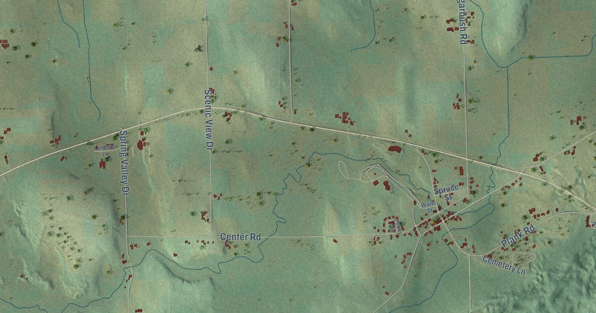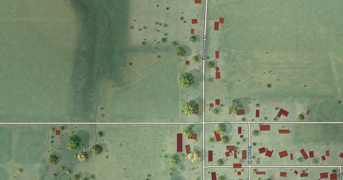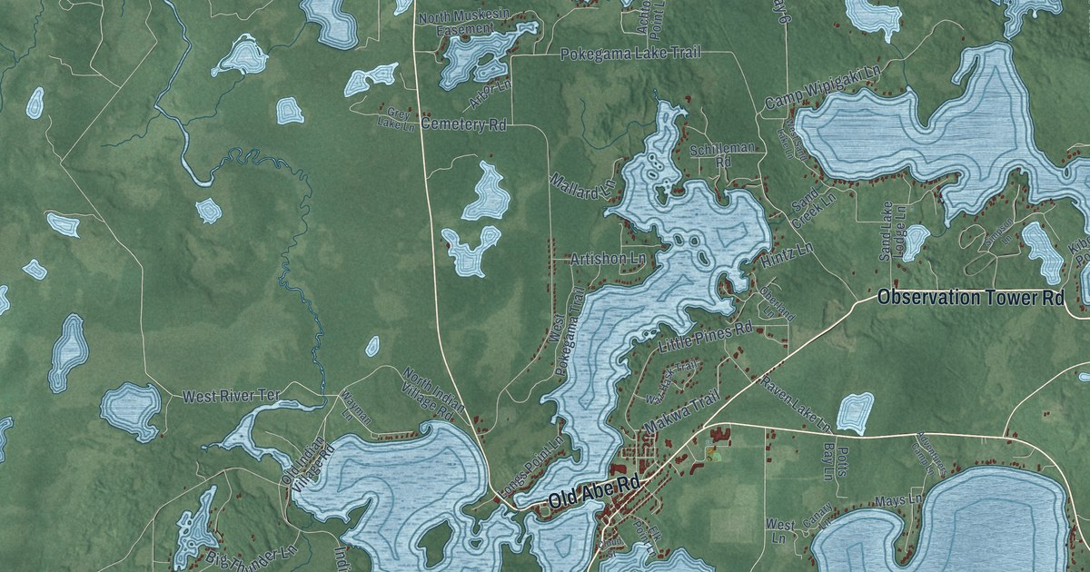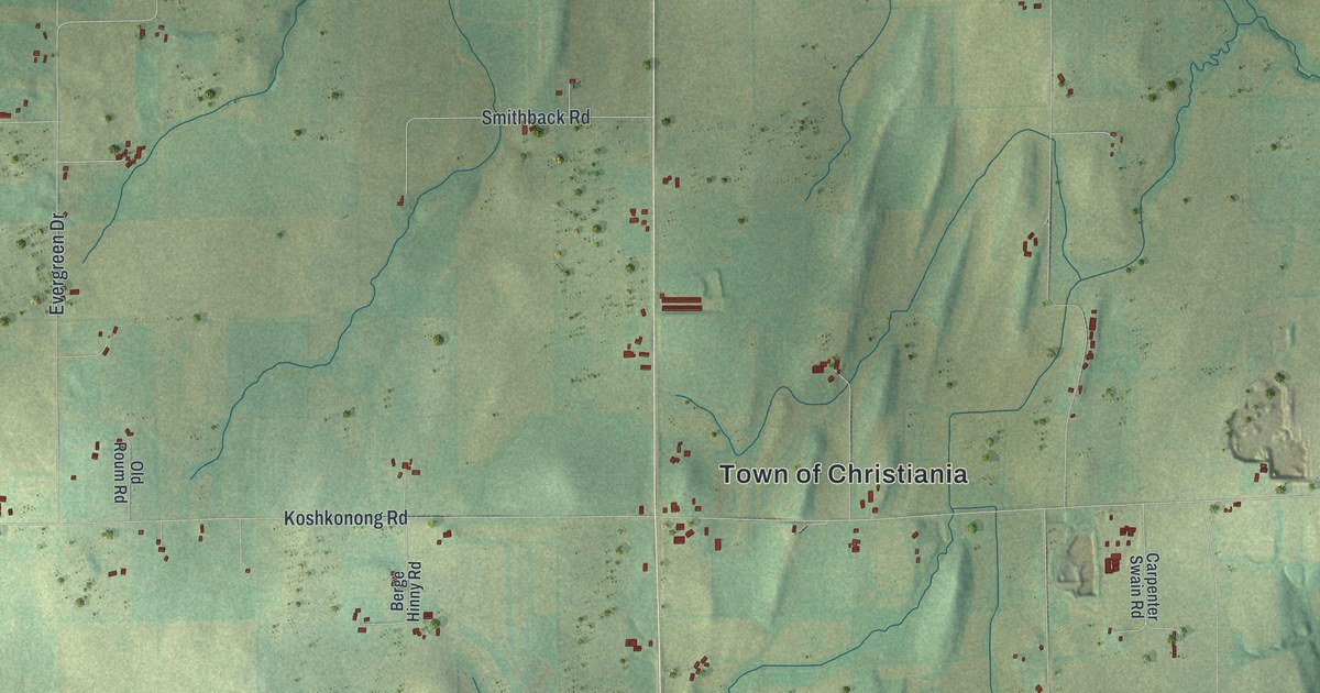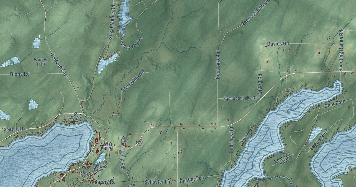
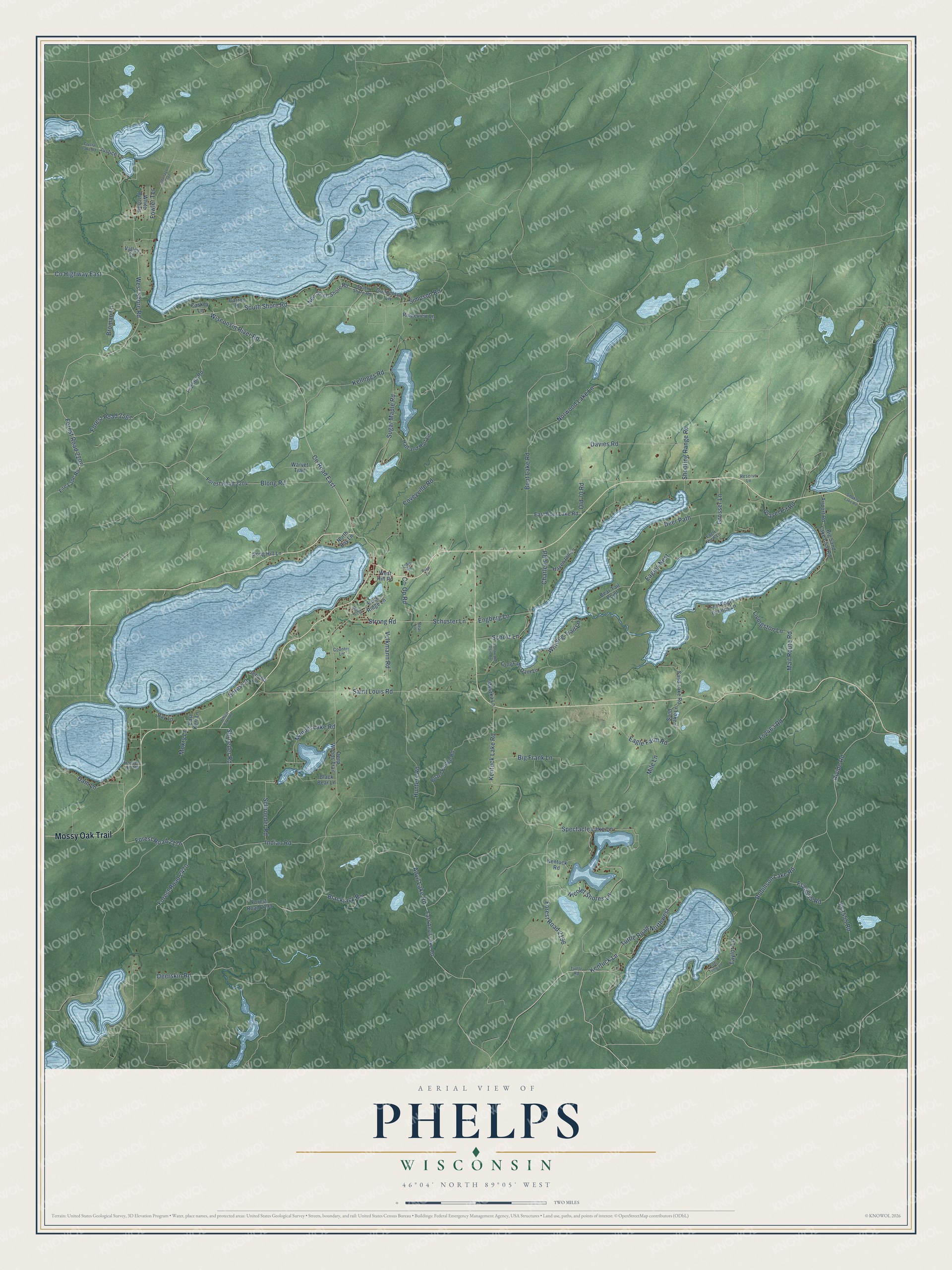
This beautifully detailed map of Phelps, Wisconsin was created in 2026 using aerial imagery combined with modern topographical, census, street and landmark data. It's a modern aerial view of Phelps in Vilas County, Wisconsin, that combines modern data with a vintage aesthetic. The roads feature printed names, and if you look closely you can find your exact house accurately shown in its correct location.
Explore an aerial view of Phelps, Wisconsin
On this map you'll find Mossy Oak Trail, Schroeder Road, Forest Road 2196, Kentuck Lane, Kentuck Lake Road, West Shore Road, South Shore Road, Forest Road 2205, Sores Lane, Shroeder Road, Mail Route Road, Deer Path, and more. Each red shape is a building, so zoom in on the preview and look for yours.
Phelps has a story worth telling. The Town of Phelps puts it this way: "Phelps was originally founded in 1905 with the name Hackley. It was renamed in 1912 to Phelps."
Phelps is a town in Vilas County. The Census Bureau counted 1,238 people here in 2020.
Take a closer look at the Phelps map
Names on this map
These names are printed on this map.
Streets and roads: Mossy Oak Trail, Schroeder Road, Forest Road 2196, Kentuck Lane, Kentuck Lake Road, West Shore Road, South Shore Road, Forest Road 2205, Sores Lane, Shroeder Road, Mail Route Road, Deer Path.
More street names, A to Z
Airport Road, Anvil Lake Road, Bay Lane, Bear Lane, Bear Tail Point, Big Frank Lane, Big Sand Lake Club Road, Black Bear Lane, Blackjack Road, Blong Road, Board Bridge Road, Boot Lake Road, Broman Lane, Buell Lane, Carroll Place, Caskey Lane, Charleys Road, Co-Op Road, Country Lane, County Highway East, County Road East, Coveyville Road, Crystal Lake Road, Dam Lane, Davies Road, Deep Woods Trail, Deerskin Road, Divide Road, Eagle Farm Road, Eagles Nest, Eagle View Lane, East Anvil Lake Road, East Boot Lake Road, East Kerr Lane, East Tuttle Lane, Engberg Lane, Fire Lane Road, Forest Road 2178, Forest Road 2199, Forest Road 2204, Forest Road 2470, Forest Road 2567, Fort Eagle Estates Lane, Fowler Terrace, Fs2463 Road, Fs2555 Road, Fs2567 Road, Fs25555 Road, Gravel Pit Road, Grosser Lane, Gunderson Lane, Half and Half Lane, Hansen Hill Road, Hazen Inn Lane, Hunters Road, Indian Road, Jericho Lane, Justice Lane, Kelloggs Road, Kentuck Road, Livingston Lane, Long Lake Dam Lane, Long Lake Dam Road, Manuel Lake Road, Maple Drive, Mile Lane, Mokry Lane, Myszka Lane, New South Shore Road, Nicolet Shores Lane, North Bay Lane, Norwood Lake Lane, Old 70 Road, Ontonagon Trail, Reserve Lane, Ridgeview Lane, Robinson Lake Road, Rock Ridge Lane, Saint Louis Road, Sand Lake Lane, Sand Lake Road, Scholz Lane, Schuster Lane, Shooting Range Road, Simpson Road, Smokey Lake Road, Song Hill Lane, Spectacle Lake Lane, Strong Road, Sugar Maple Road, Taylor Lane, Tower Road, Tuttle Road, Tuttle Road Northwest, Valley Court, Volkmann Road, Warvet Trail, West Hill Road, White Birch Drive, Winding Trail Lane, Wisconsin River Road, Yellow Birch Road.
Created by KNOWOL in 2026. The buildings are small red shapes, the roads carry their printed names, and shaded relief shows the shape of the land. The title panel reads "AERIAL VIEW OF PHELPS, WISCONSIN" with 46°04' NORTH 89°05' WEST.
It looks right in a kitchen, an office or a den, and it's a gift for anyone who grew up in Phelps or moved away. Open the preview and find your street. See sizes and frames for the Phelps map.