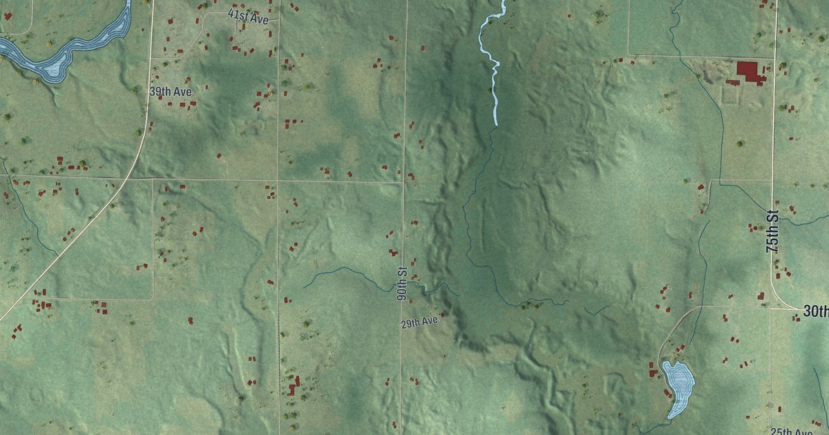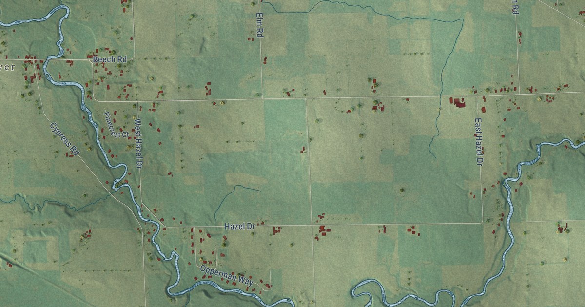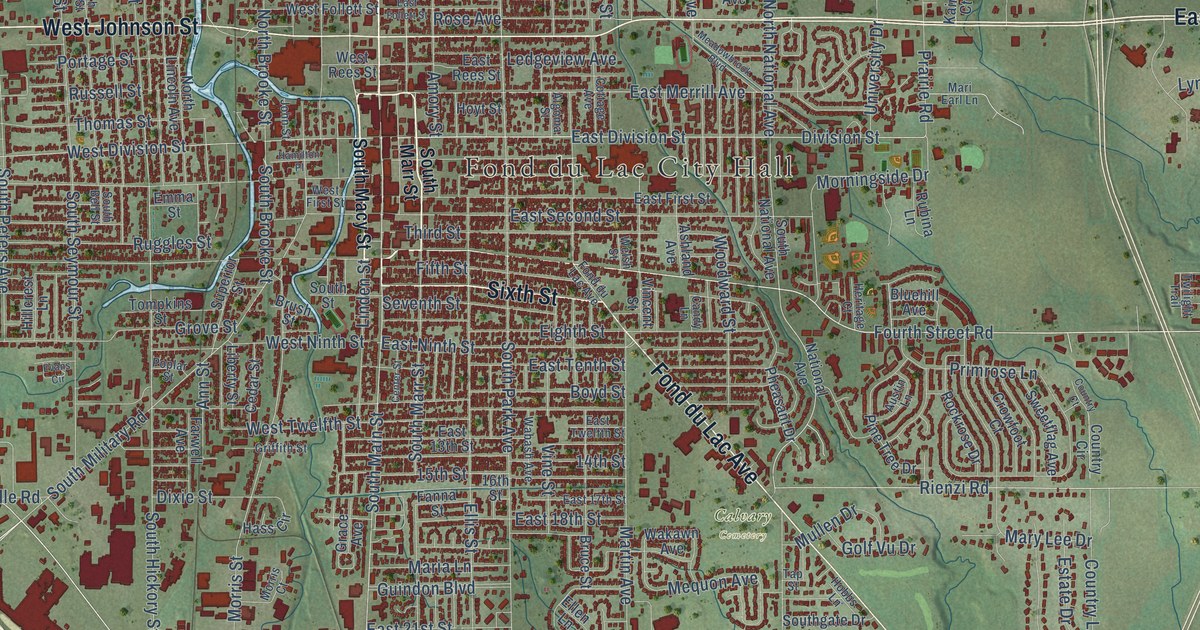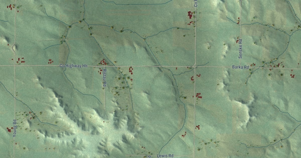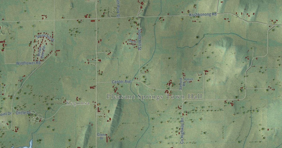
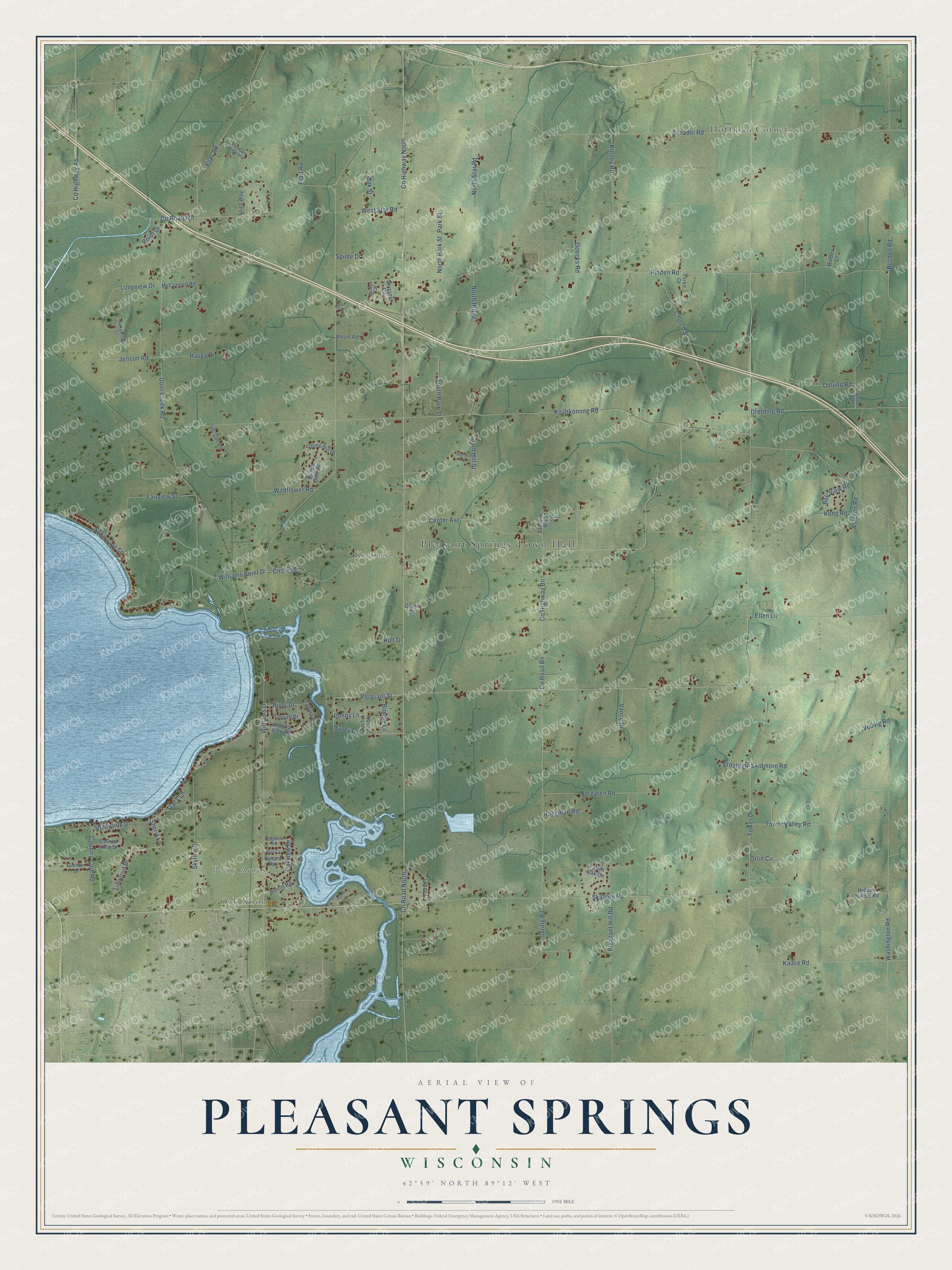
This beautifully detailed map of Pleasant Springs, Wisconsin was created in 2026 using aerial imagery combined with modern topographical, census, street and landmark data. It's a modern aerial view of Pleasant Springs in Dane County, Wisconsin, that combines modern data with a vintage aesthetic. The roads feature printed names, and if you look closely you can find your exact house accurately shown in its correct location.
Explore an aerial view of Pleasant Springs, Wisconsin
On this map you'll find Pleasant Springs Town Hall, Oak Knoll, Petty Acres, Kegonsa, Hoffman Corners, Pleasant Street, Linnerud Drive, Williams Drive, Co Highway North, Co Road North, Koshkonong Road, Co Highway Bn, and more. Each red shape is a building, so zoom in on the preview and look for yours.
Pleasant Springs has a story worth telling. The History of Dane County puts it this way: "Pleasant Springs receives its name from a large spring on Section 27, and numerous smaller ones in diflferent parts of the town."
Pleasant Springs is a town in Dane County. The Census Bureau counted 3,078 people here in 2020.
Take a closer look at the Pleasant Springs map
Names on this map
These names are printed on this map.
Places: Pleasant Springs Town Hall, Oak Knoll, Petty Acres, Kegonsa and Hoffman Corners.
Streets and roads: Pleasant Street, Linnerud Drive, Williams Drive, County Highway North, County Road North, Koshkonong Road, County Highway Bn, County Road Bn, Rinden Road, Tower Drive, Washington Road, Door Creek Road.
More street names, A to Z
Alice Circle, Apollo Circle, Asleson Road, Beatrice Court, Bell View Road, Bonnie Lane, Bosben Road, Brown Deer Road, Burritt Road, Center Avenue, Church Street, Circle Drive, Country Club Road, County Highway Ab, County Road Mn, Course View Drive, Drotning Road, Ellen Lane, Erdahl Drive, Esquire Drive, Fairview Street, Fallen Oak Circle, Giehler Drive, Glenn Drive, Goecks Road, Golden Circle, Haggman Road, Havey Drive, Havey Lane, Hidden Hollow Road, Hull Drive, Iverson Road, Jenson Road, Kaase Road, Kegonsa Road, Kinney Road, Kong Road, Lakewood Circle, Longview Drive, Lunde Circle, Lunde Drive, McConnell Road, Nancy Lane, Norgaren Road, North Hill Street, North Park Street, North Star Road, Oak Street, Oakview Drive, Odlund Road, Orlin Circle, Park Street, Penny Lane, Platt Road, Pleasant Hill Road, Pleasant View Heights, Rinden Court, River Drive, Roidt Drive, Rolling View Road, Sanford Road, Schadel Road, Shadyside Drive, Sheryl Lane, Skaalen Road, Skidmore Road, Skycrest Circle, Skyline Drive, South Hill Street, South Park Street, Spilde Drive, Spring Hill Drive, Spring Road, Squire Lane, Straus Drive, Streb Way, Sunnyside Street, Torke Court, Tower Valley Road, Tracy Lane, Vance Drive, Vedvig Road, Vilas Road, West Star Road, Weum Road, Wildflower Road, Williams Point Drive, Yahara Drive, Yahara Road.
Created by KNOWOL in 2026. The buildings are small red shapes, the roads carry their printed names, and shaded relief shows the shape of the land. The title panel reads "AERIAL VIEW OF PLEASANT SPRINGS, WISCONSIN" with 42°59' NORTH 89°12' WEST.
It looks right in a kitchen, an office or a den, and it's a gift for anyone who grew up in Pleasant Springs or moved away. Open the preview and find your street. See sizes and frames for the Pleasant Springs map.