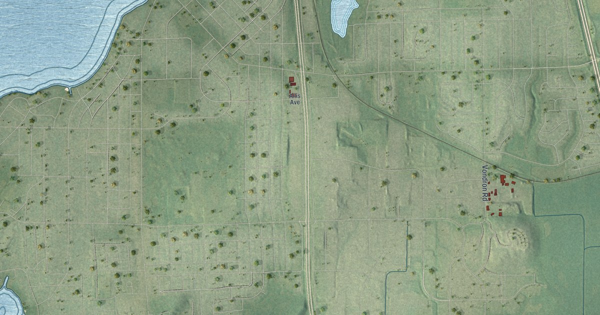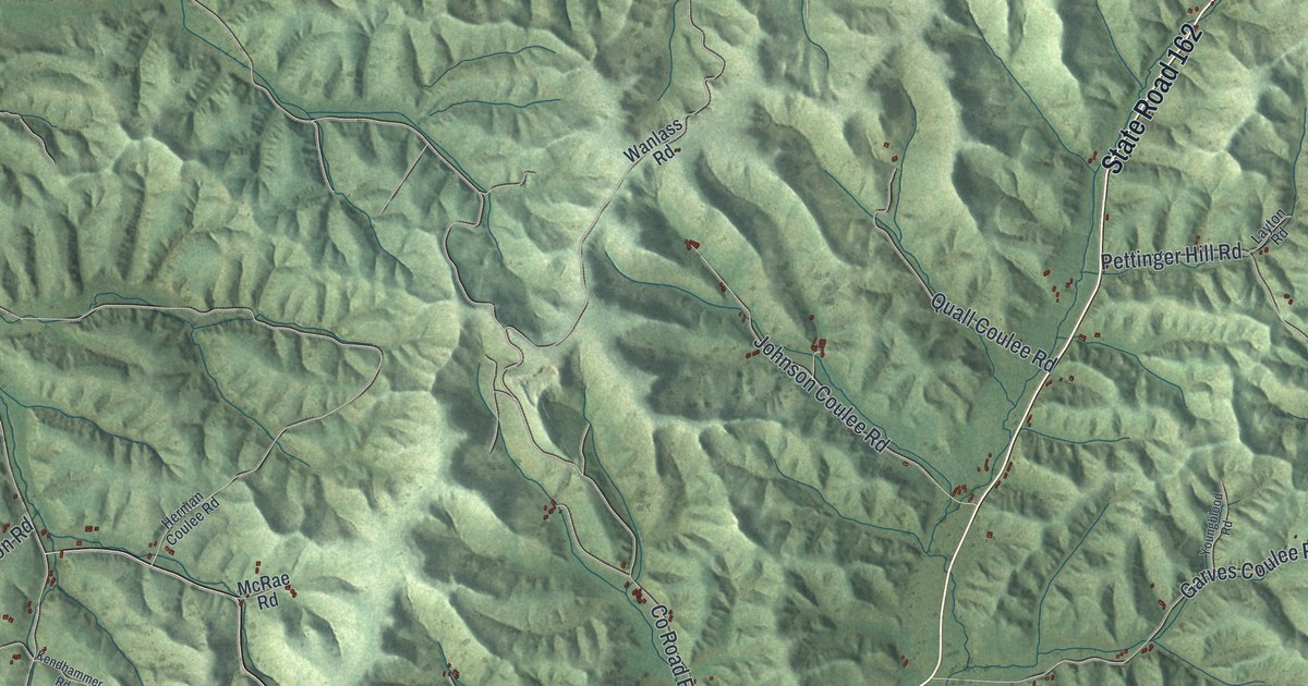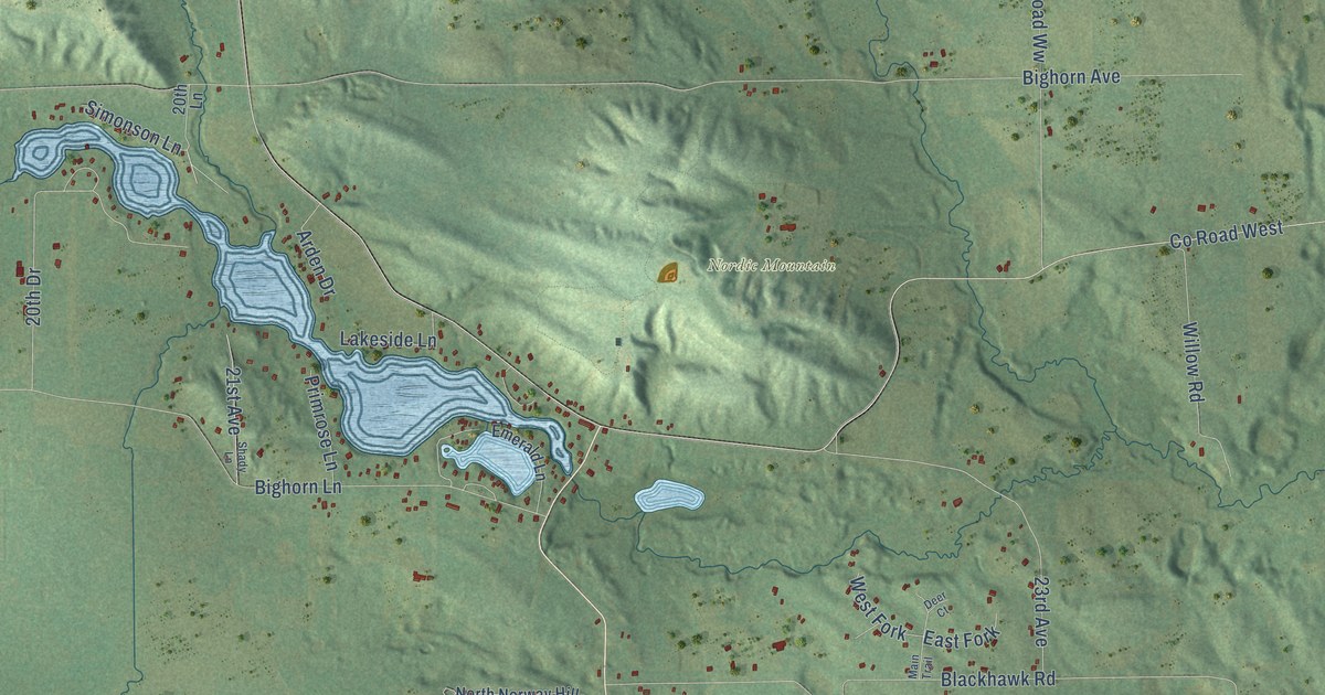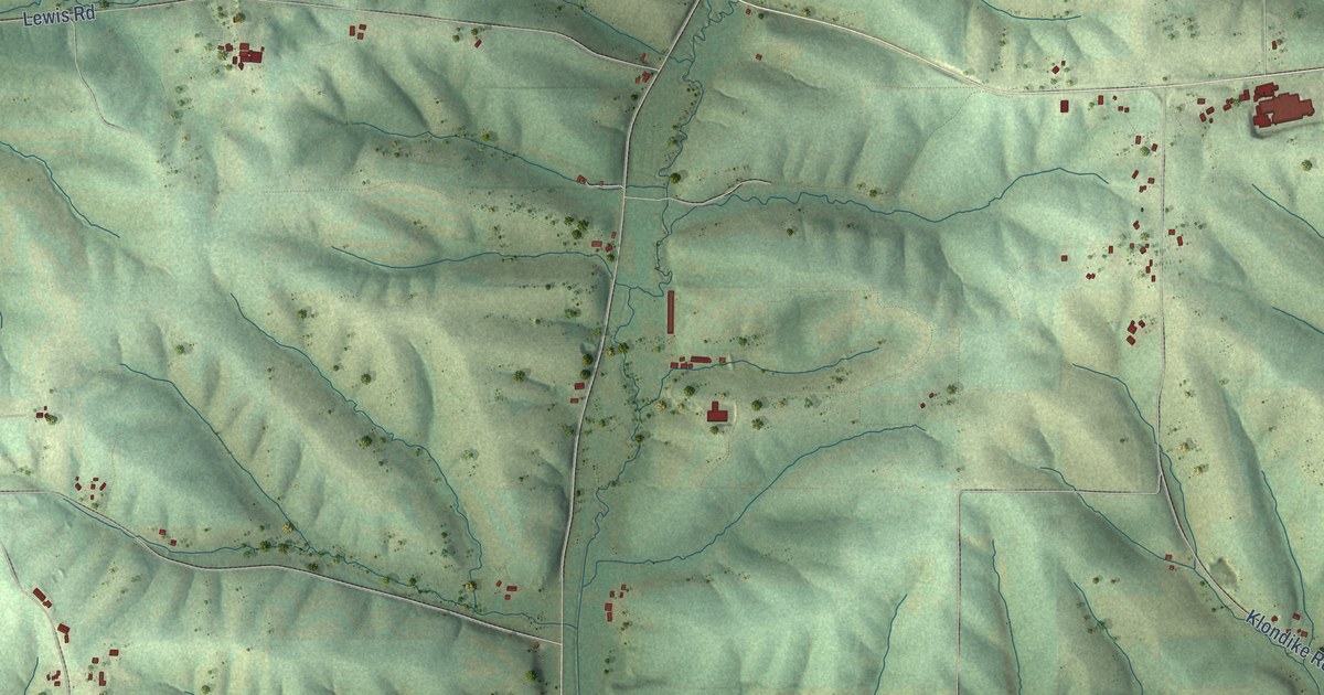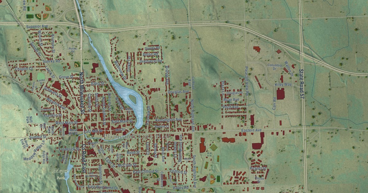
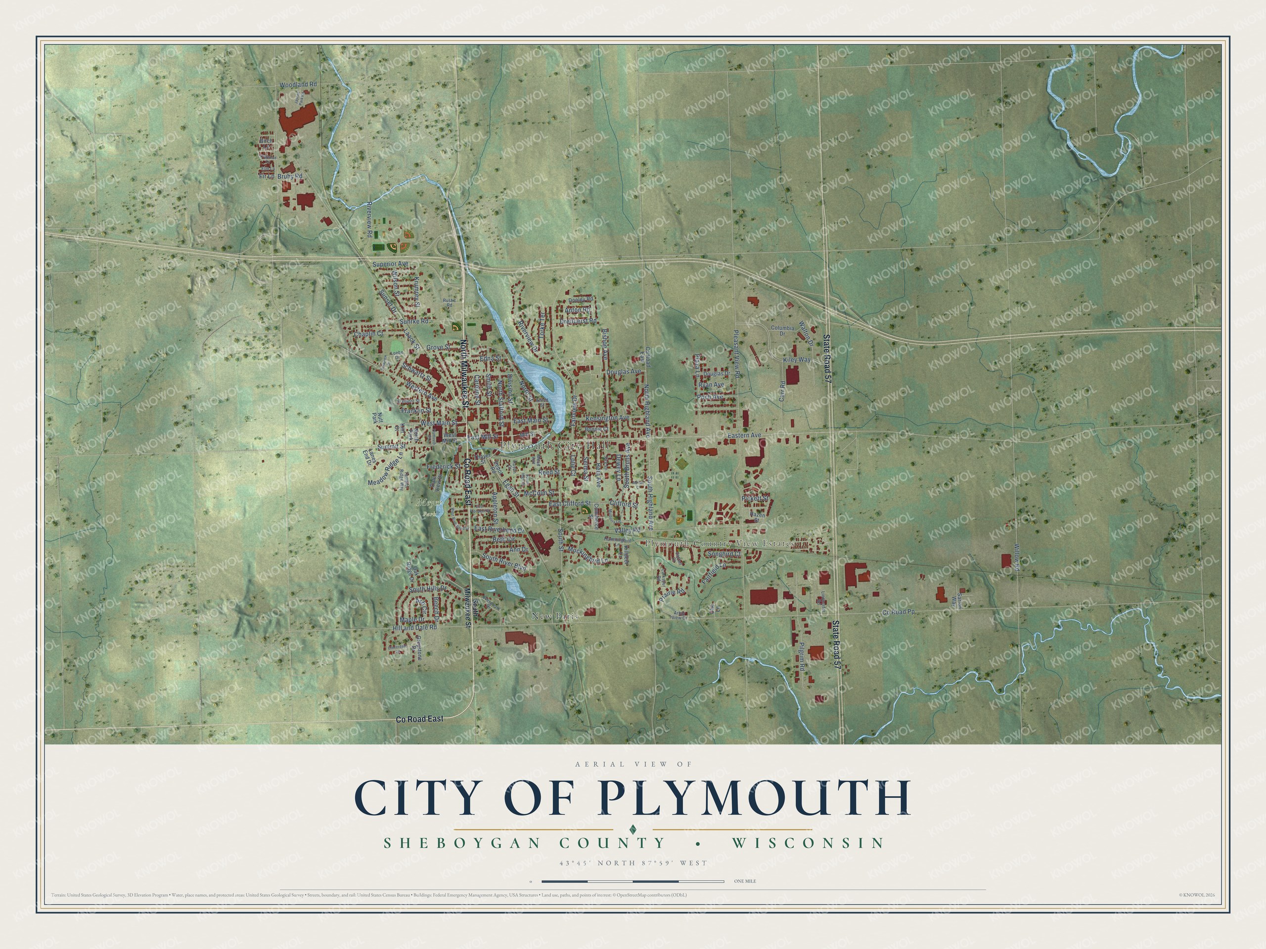
This beautifully detailed map of Plymouth, Wisconsin was created in 2026 using aerial imagery combined with modern topographical, census, street and landmark data. It's a modern aerial view of Plymouth in Sheboygan County, Wisconsin, that combines modern data with a vintage aesthetic. The roads feature printed names, and if you look closely you can find your exact house accurately shown in its correct location.
Explore an aerial view of Plymouth, Wisconsin
On this map you'll find Plymouth City Hall, Plymouth Country View Estates, Meyer Park, New Paris, North Milwaukee Street, Co Road East, State Road 57, West Main Street, North Street, South Highland Avenue, East Mill Street, South Hills Drive, and more. Each red shape is a building, so zoom in on the preview and look for yours.
Plymouth has a story worth telling. The History of Sheboygan County puts it this way: "The elder Davidson gave the name of Springfield to the new settlement, but Thomas named it Plymouth, in memory of a town in Connecticut dear to him."
Plymouth is a city in Sheboygan County. The Census Bureau counted 8,932 people here in 2020.
Take a closer look at the Plymouth map
Names on this map
These names are printed on this map.
Places: Plymouth City Hall, Plymouth Country View Estates, Meyer Park, New Paris, Nutt Park and North Park.
Streets and roads: North Milwaukee Street, County Road East, State Road 57, West Main Street, North Street, South Highland Avenue, East Mill Street, South Hills Drive, North Highland Avenue, South Street, Douglas Avenue, Superior Avenue.
More street names, A to Z
Adrian Court, Alfred Street, Ann Drive, Anton Road, Appleton Street, Arbor View Drive, Ash Circle, Beech Drive, Beth Circle, Birch Lane, Bishop Avenue, Bonnie Court, Bruhy Road, Caroline Street, Carr Road, Cattail Court, Chaplin Court, Clifford Street, Cloverdale Lane, Columbia Drive, Commerce Street, County Road Pp, Dale View Drive, Depot Road, Dewey Lane, Division Street, Dogwood Lane, Dooley Road, Douglas Drive, Dreifuerst Road, East Clifford Street, Eastern Avenue, East Main Street, East Prospect Street, East Riverbend Drive, Edna Street, Egan Street, Elm Lane, Evergreen Drive, Fairfield Lane, Fairview Drive, Fire Lane, Fir Lane, Franklin Street, Frederick Street, Fremont Street, Greystone Drive, Grove Street, Hazen Street, Hein Avenue, Hill and Dale Road, Hummingbird Lane, Huson Court, Jaycee Park Road, Kensington Avenue, Kiley Way, Killdeer Lane, Kim Court, Krumrey Street, Laack Street, Lanes End Drive, Larkspur Road, Lindoerfer Road, Loebe Drive, Lolie Court, Maple Drive, McColm Street, Mead Avenue, Meadow Ridge Lane, Mill Street, Mockingbird Lane, Mulberry Lane, North Stafford Street, Oak Ridge Drive, Olie Lane, Parkview Drive, Pickett Street, Pilgrim Road, Plaza Lane, Pleasant View Road, Plymouth Street, Poch Avenue, Prairie Road, Reed Street, Riverview Drive, Riverview Road, Rustic Road, Ryan Avenue, Sartori Way, Schwartz Street, Selma Street, Smith Street, Songbird Court, South Bruns Avenue, South High Street, South Milwaukee Street, South River Boulevard, Suhrke Road, Summit Street, Sunset Drive, Thayer Street, Torke Terrace, Tumbler Ridge Way, Valley Road, Walton Drive, Western Avenue, West Mill Street, West Riverbend Drive, Willow Road, Wilson Street, Woodland Road.
Created by KNOWOL in 2026. The buildings are small red shapes, the roads carry their printed names, and shaded relief shows the shape of the land. The title panel reads "AERIAL VIEW OF CITY OF PLYMOUTH, SHEBOYGAN COUNTY • WISCONSIN" with 43°45' NORTH 87°59' WEST.
It looks right in a kitchen, an office or a den, and it's a gift for anyone who grew up in Plymouth or moved away. Open the preview and find your street. See sizes and frames for the Plymouth map.