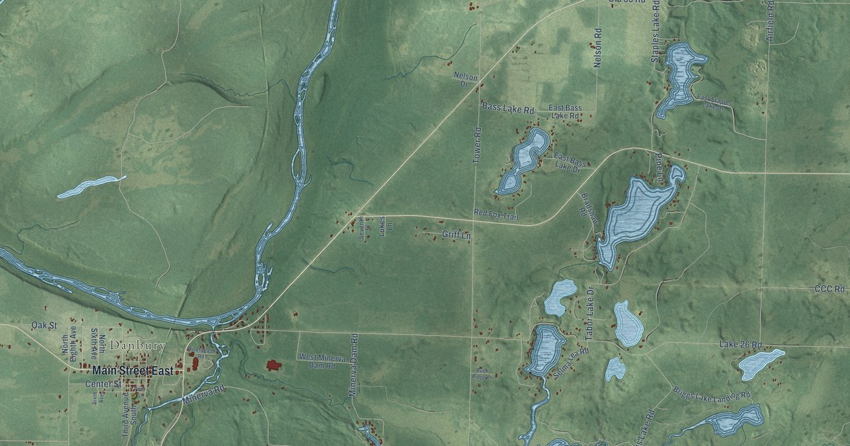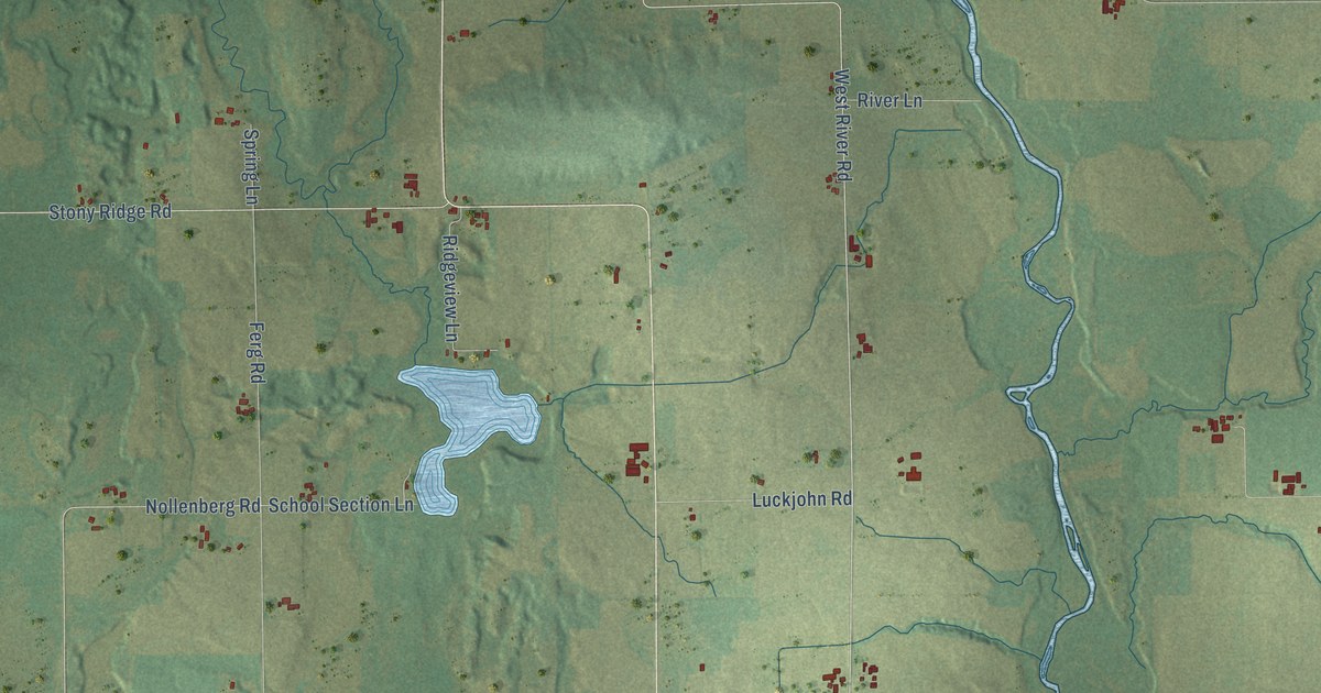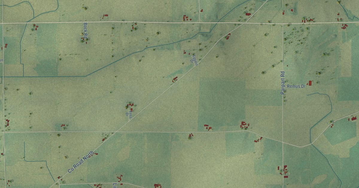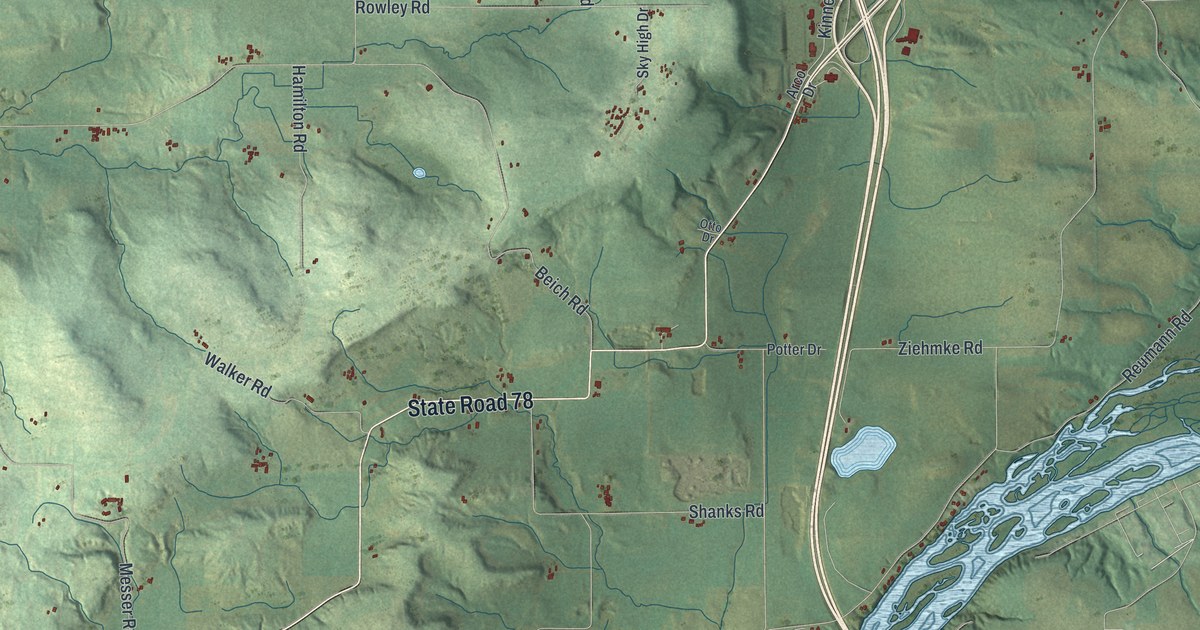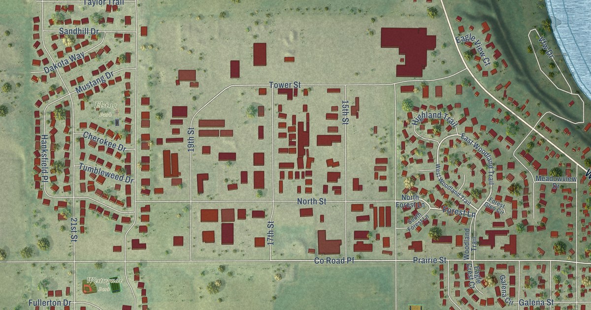
This beautifully detailed map of Prairie du Sac, Wisconsin was created in 2026 using aerial imagery combined with modern topographical, census, street and landmark data. It's a modern aerial view of Prairie du Sac in Sauk County, Wisconsin, that combines modern data with a vintage aesthetic. The roads feature printed names, and if you look closely you can find your exact house accurately shown in its correct location.
Explore an aerial view of Prairie du Sac, Wisconsin
On this map you'll find Culver Community Park, Marion Park, Westwynde Park, Doll Park, Elsing Park, Water Street, Forest Lane, Oak Street, Prairie Street, Co Road Pf, Broadway Street, 13th Street, and more. Each red shape is a building, so zoom in on the preview and look for yours.
Here is a piece of Prairie du Sac history, in the words of the record. The Standard History of Sauk County puts it this way: "The last named is the oldest religious society in the village, dating its organization from January, 1841, when eight members, formerly affiliated with the Church of Christ, formed themselves into the First Presbyterian Church of Prairie du Sac, under the pastorate of Rev. Solomon Chaffee."
Prairie du Sac is a village in Sauk County. The Census Bureau counted 4,420 people here in 2020.
Take a closer look at the Prairie du Sac map
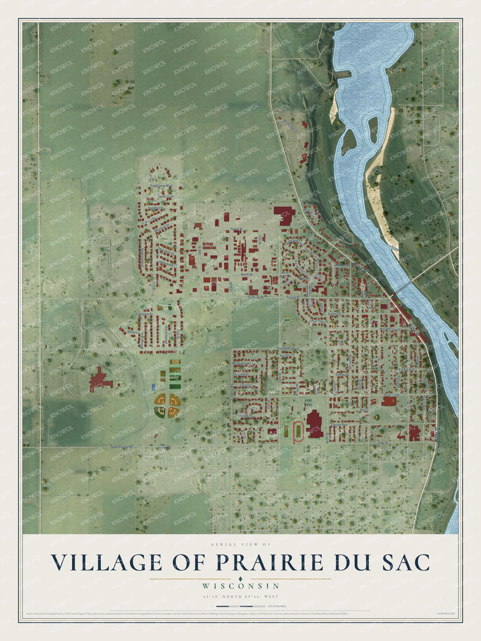
Names on this map
These names are printed on this map.
Places: Culver Community Park, Marion Park, Westwynde Park, Doll Park and Elsing Park.
Streets and roads: Water Street, Forest Lane, Oak Street, Prairie Street, County Road Pf, Broadway Street, 13th Street, Grand Avenue, 21st Street, 20th Street, Seventh Street, Lincoln Avenue.
More street names, A to Z
14th Street, 15th Street, 16th Street, 17th Street, 19th Street, Alban Lane, Billings Avenue, Center Street, Cherokee Drive, Dakota Way, Eagle Crest Court, Eagle View Court, East Woodland Trail, Eighth Street, Eighth Street Circle, Fairview Drive, Fieldstone Boulevard, Fifth Street, First Street, Forest Glen Circle, Fourth Street, Fullerton Drive, Galena Circle, Galena Street, Hanksfield Place, Highland Trail, Holly Court, Jacob Drive, Locust Lane, Lone Tree Lane, Lueders Road, Meadowlark Lane, Meadowview Drive, Mustang Drive, Ninth Street, North Forest Lane, Northridge Drive, North Street, Park Avenue, Parkside Drive, Parkview Court, Prairie Avenue, Ray Street, Risley Oak Court, Sandhill Drive, Sauk Prairie Road, Sixth Street, South Forest Lane, Sunset Circle, Taylor Trail, Tenth Street Circle, Third Street, Tower Street, Trap Club Road, Tumbleweed Drive, Twelfth Street, Vfw Drive, Washington Street, West Woodland Trail, Whitford Avenue, Wilson Avenue, Winnie Avenue, Woodland Trail.
Created by KNOWOL in 2026. The buildings are small red shapes, the roads carry their printed names, and shaded relief shows the shape of the land. The title panel reads "AERIAL VIEW OF VILLAGE OF PRAIRIE DU SAC, WISCONSIN" with 43°18' NORTH 89°44' WEST.
It suits a den, a classroom or a front hall, and it makes a gift for anyone with Prairie du Sac roots. Open the preview and find the block you know. See sizes and frames for the Prairie du Sac map.