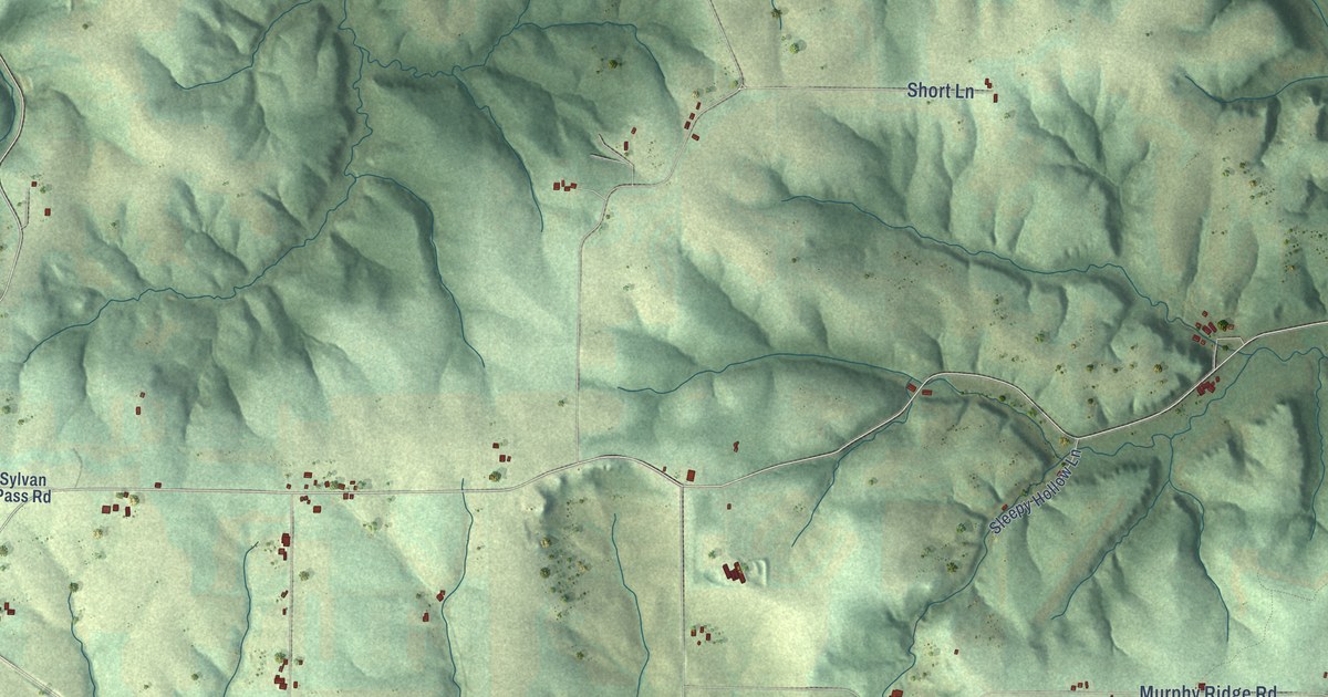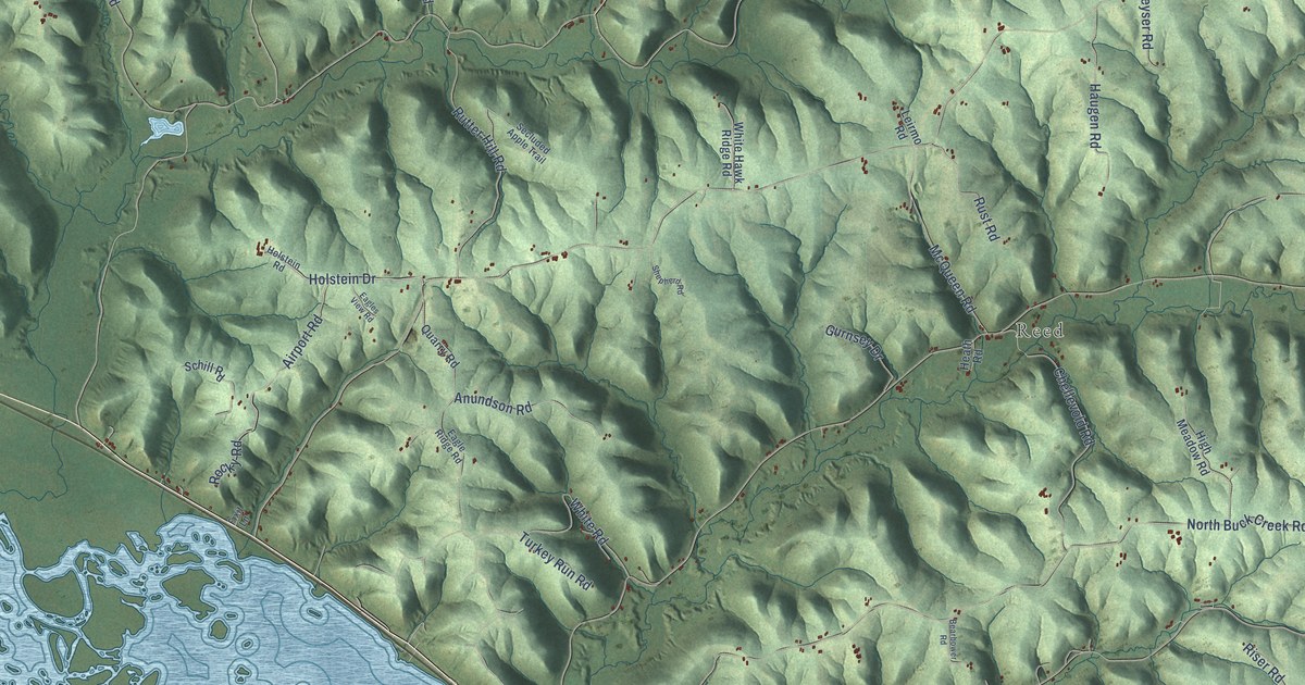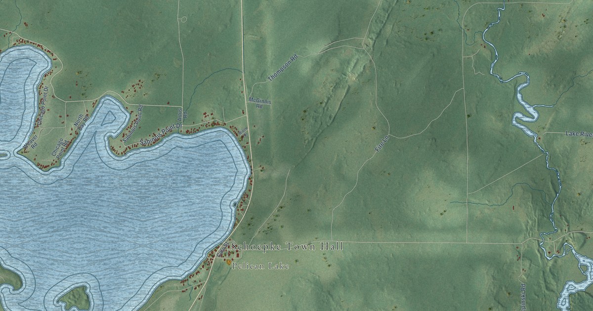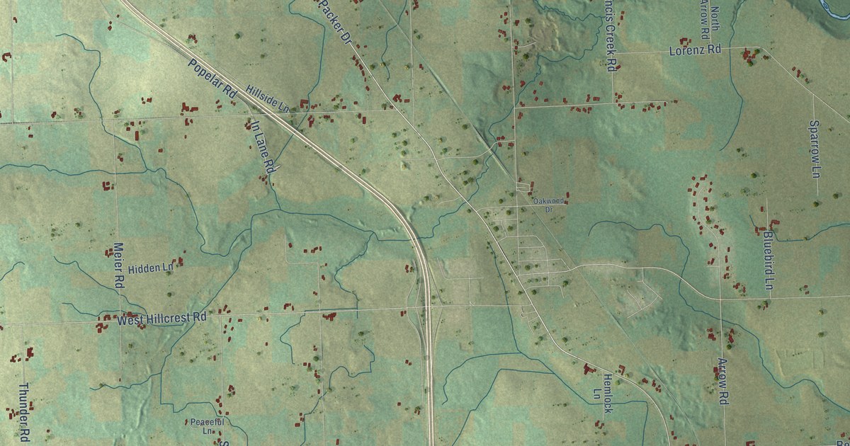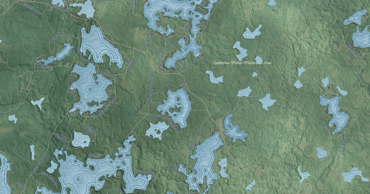
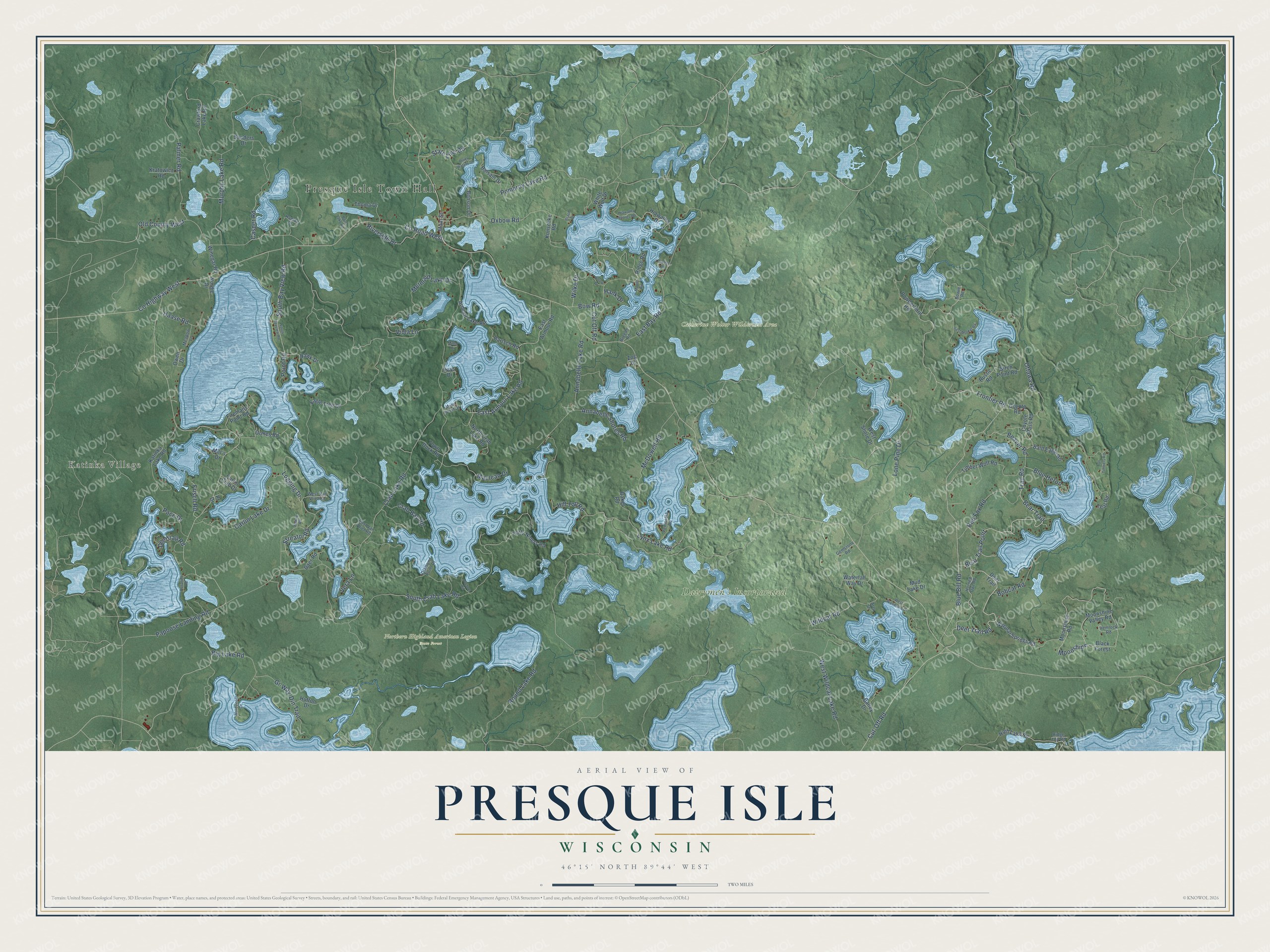
This beautifully detailed map of Presque Isle, Wisconsin was created in 2026 using aerial imagery combined with modern topographical, census, street and landmark data. It's a modern aerial view of Presque Isle in Vilas County, Wisconsin, that combines modern data with a vintage aesthetic. The roads feature printed names, and if you look closely you can find your exact house accurately shown in its correct location.
Explore an aerial view of Presque Isle, Wisconsin
On this map you'll find Presque Isle Town Hall, Katinka Village, Catherine Wolter Wilderness Area, Dairymen's Incorporated, Northern Highland American Legion State Forest, Frontier Road, Blue Bill Road, Deer Trail Road, Trail Road, Bear Trail, Beaver Road, Red Fox Road, and more. Each red shape is a building, so zoom in on the preview and look for yours.
Here is a piece of Presque Isle history, in the words of the record. The Town of Presque Isle puts it this way: "In 1955 local residents elected to adopt the name of the civil entity (Vilas County designated town) Presque Isle. Vilas County recognized Presque Isle as an independent town in 1907, at which time it included what is now the Town of Winchester."
Presque Isle is a town in Vilas County. The Census Bureau counted 805 people here in 2020.
Take a closer look at the Presque Isle map
Names on this map
These names are printed on this map.
Places: Presque Isle Town Hall, Katinka Village, Catherine Wolter Wilderness Area, Dairymen's Incorporated and Northern Highland American Legion State Forest.
Streets and roads: Frontier Road, Blue Bill Road, Deer Trail Road, Trail Road, Bear Trail, Beaver Road, Red Fox Road, South Crab Lake Road, Carlin Lake Drive, Cut-Off Road, Crab Lake Road, Lone Pine Drive.
More street names, A to Z
Annabelle Lake Road, Annabelle Shores Road, Armour Lake Road, Arrow Drive, Arts Drive, Baer Road, Bailey Drive, Baker Road, Bald Eagle Road, Balsam Drive, Bartsch Road, Bear Trail Point, Benson Drive, Big Lake Road, Birch Point Road, Black Forest, Blue Heron, Bobcat Road, Boot Lake Road, Bowie Road, Bow Road, Brach Drive, Breede Road, Carlin Club Drive, Casper Road, County Highway West, County Road West, Coyote Pass Road, Coyoto Road, Crab Bay Road, Crawford Lake Road, Cut Off Road, Deer Trail, Deertrap Road, Diamond Point Drive, Doctors Road, Eagle Tree Drive, East Armour Lake Road, East Armour Road, East Bay Road, East Musket Road, East Van Vliet Road, Firemans Point Road, Forty Niners Road, Frisch Road, Gemstone Road, Gi-Way-Din Trail, Gladys Road, Haase Road, Hank Drive, Hawk Drive, Hemlock Road, Hiawatha Drive, Hiawatha Shores Road, High Lake Road, Hill Top Road, Horned Owl Road, Hutton Drive, Katinka Lake Road, Kratowicz Road, Kunschke Road, Logging Drive, Lynx Lake Road, Maclean Drive, Main Street, Maple Road, Mars Point Drive, McDowell Road, Meadow Lane, Mermaid Lake Drive, Miller Drive, Milt's Drive, Moonshine, Moonshine Road, Moonshine Valley Road, Mordvinoff Drive, Mud Lake Drive, Murphy Lake Road, Natural Springs Road, Nordic Drive, North Crab Lake Road, Noway Road, Old County West, Ormes Road, Ottawa Road, Owen Drive, Oxbow Road, Pace Drive, Palmer Road, Papoose Landing Road, Peninsula Road, Point Road, Pomeroy Lake Road, Powderhorn Road, Pr Drive, Quiet Waters Drive, Radtke Drive, Rays Drive, Ridge Road, Ridge Top Road, Riverside Drive, Rosalind Road, Round Lake Road, Rustic Road, Sanders Drive, South Bay View Road, South Bayview Road, State Line Road, Streator Road, Tall Timbers Road, Teal Road, Thoma Drive, Timber Wolf Road, Town Dock Road, Vera Lane, Viola Lane, Waterfall Way Drive, West Shore Drive, West Van Vliet Road, West Wildcat Lake Road, West Woodland Drive, White Wolf Drive, Wildcat Road, Wilke Drive, Winegar Road, Zog Drive.
Created by KNOWOL in 2026. The buildings are small red shapes, the roads carry their printed names, and shaded relief shows the shape of the land. The title panel reads "AERIAL VIEW OF PRESQUE ISLE, WISCONSIN" with 46°15' NORTH 89°44' WEST.
It suits a den, a classroom or a front hall, and it makes a gift for anyone with Presque Isle roots. Open the preview and find the block you know. See sizes and frames for the Presque Isle map.