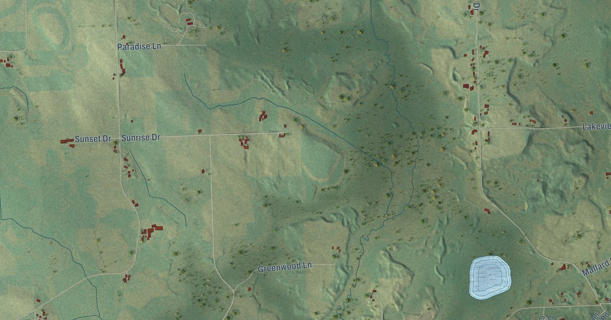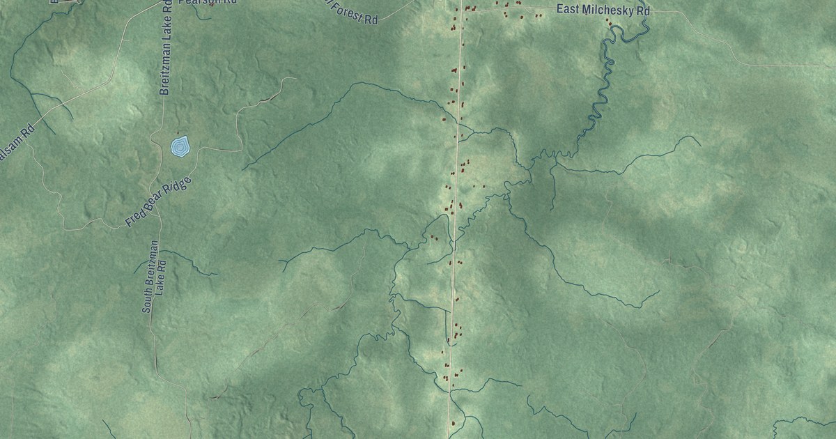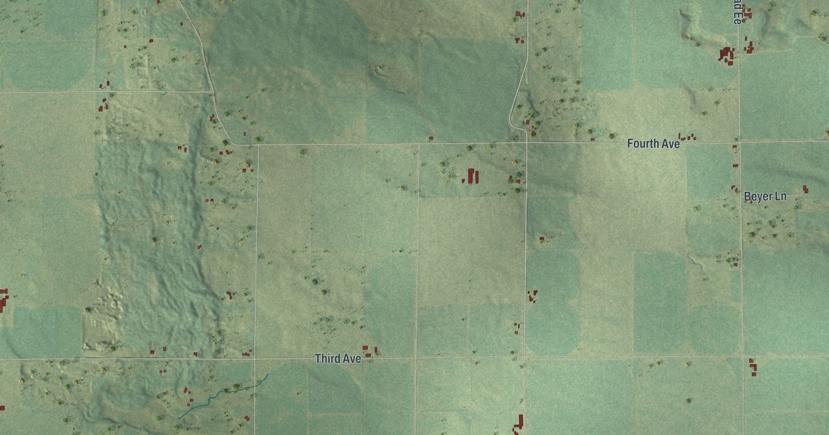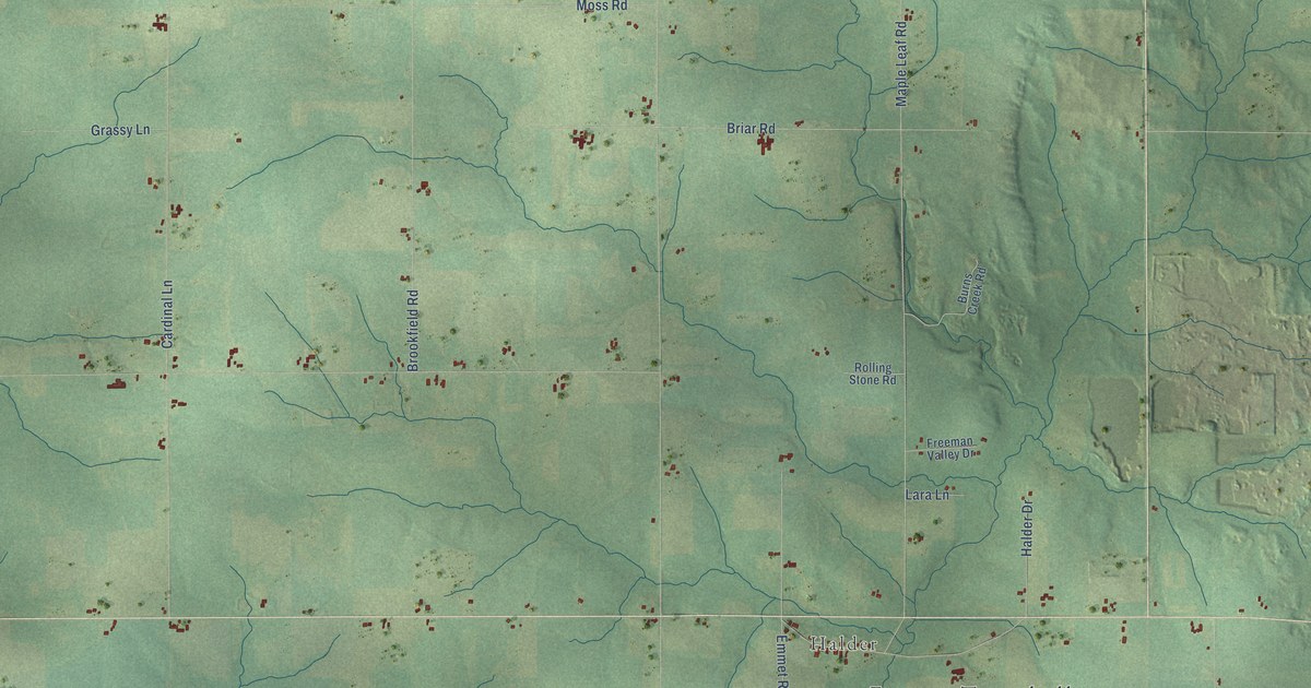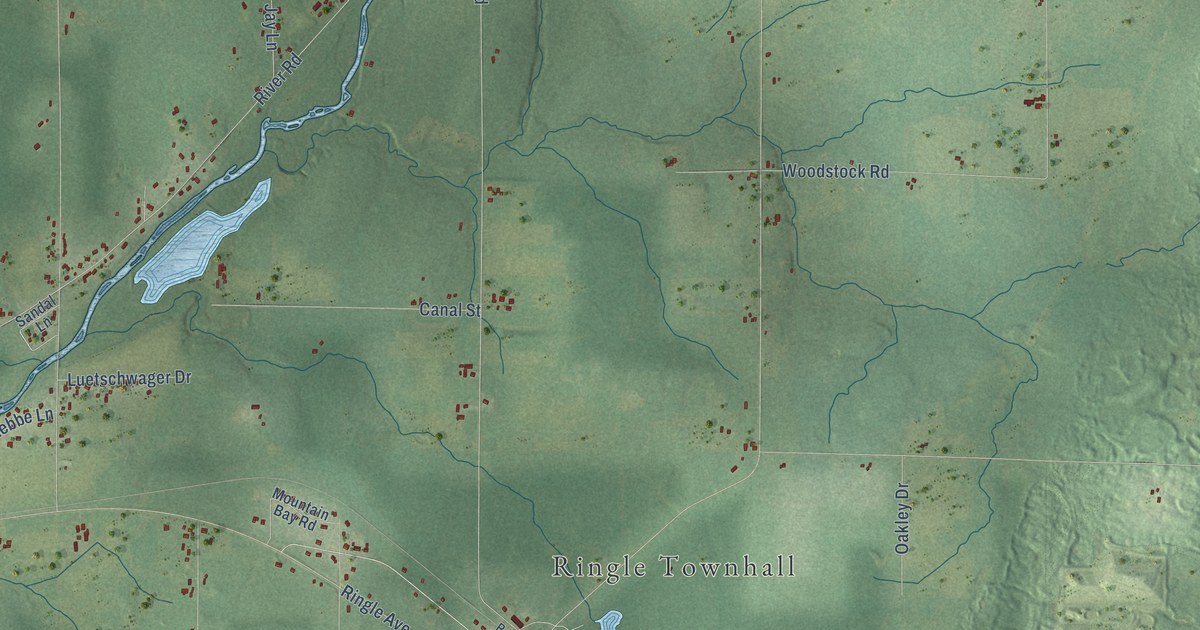
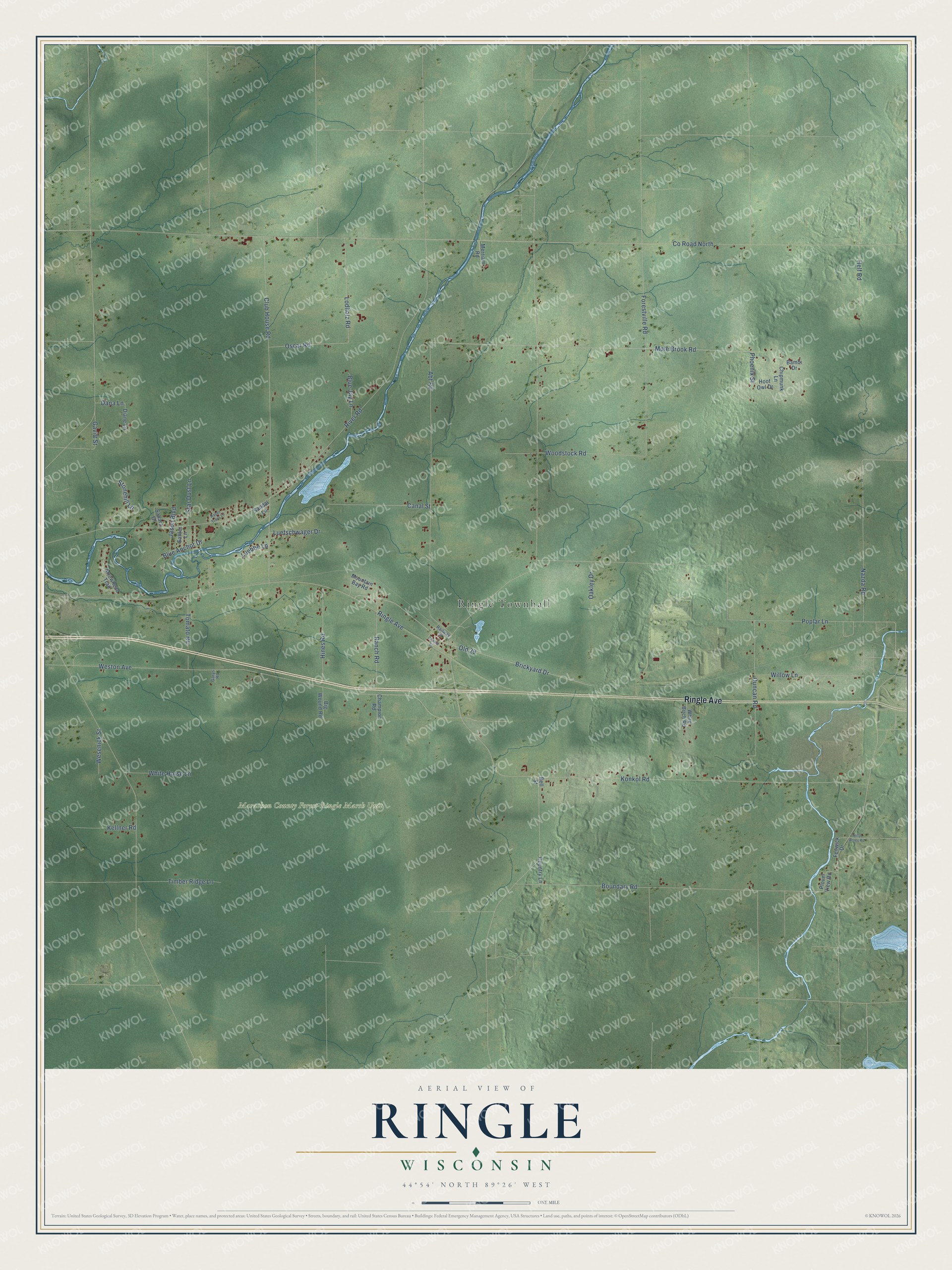
This beautifully detailed map of Ringle, Wisconsin was created in 2026 using aerial imagery combined with modern topographical, census, street and landmark data. It's a modern aerial view of Ringle in Marathon County, Wisconsin, that combines modern data with a vintage aesthetic. The roads feature printed names, and if you look closely you can find your exact house accurately shown in its correct location.
Explore an aerial view of Ringle, Wisconsin
On this map you'll find Ringle Townhall, Marathon County Forest-Ringle Marsh Unit, Ringle Avenue, Mole Brook Road, Phoenix Street, Co Road North, River Road, Weston Avenue, Poplar Lane, Club House Road, Konkol Road, Boundary Road, and more. Each red shape is a building, so zoom in on the preview and look for yours.
Ringle has a story worth telling. The History of Marathon County puts it this way: "The town of Ringle embraces now township 28, north of range 9 east. It was established January 9, 1901, and organized in the spring of the same year."
Ringle is a town in Marathon County. The Census Bureau counted 1,743 people here in 2020.
Take a closer look at the Ringle map
Names on this map
These names are printed on this map.
Places: Ringle Townhall and Marathon County Forest-Ringle Marsh Unit.
Streets and roads: Ringle Avenue, Mole Brook Road, Phoenix Street, County Road North, River Road, Weston Avenue, Poplar Lane, Club House Road, Konkol Road, Boundary Road, Abt Road, Brickyard Drive.
More street names, A to Z
Arrowhead Trail, Bambi Drive, Bell Street, Big Wound Road, Blue Anchor Drive, Blue Jay Lane, Canal Street, Champion Road, Chapel Street, Chipmunk Lane, Country Lane, Dana Lane, Diane Lane, Duncan Road, Fenwick Drive, Forestville Road, Garys Road, Gavitt Street, Happy Trails Lane, Helf Road, Hilly Acres Road, Hines Road, Hoot Owl Drive, Jason Boulevard, Kellner Road, Lodholz Road, Luebbe Lane, Luetschwager Drive, Merriam Road, Mountain Bay Road, Nazda Road, Oakley Drive, Old 29, Oscar Road, Plover View Road, Railway Street, Ranch Road, Sahara Drive, Sandal Lane, Sattler Lane, Star Dust Lane, Stonehill Lane, Timber Ridge Lane, Tomato Road, Wesenick Street, White Birch Road, White Horse Lane, Willow Lane, Woodstock Road.
Created by KNOWOL in 2026. The buildings are small red shapes, the roads carry their printed names, and shaded relief shows the shape of the land. The title panel reads "AERIAL VIEW OF RINGLE, WISCONSIN" with 44°54' NORTH 89°26' WEST.
It looks right in a kitchen, an office or a den, and it's a gift for anyone who grew up in Ringle or moved away. Open the preview and find your street. See sizes and frames for the Ringle map.