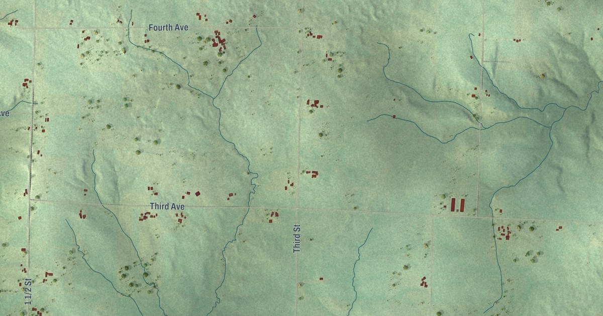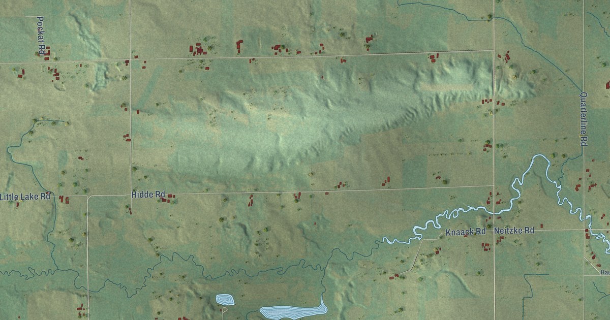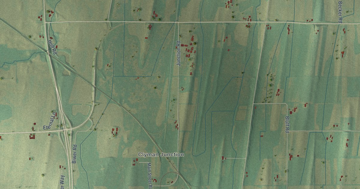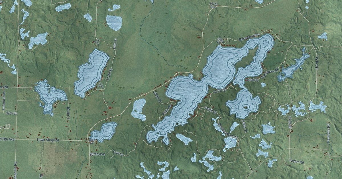
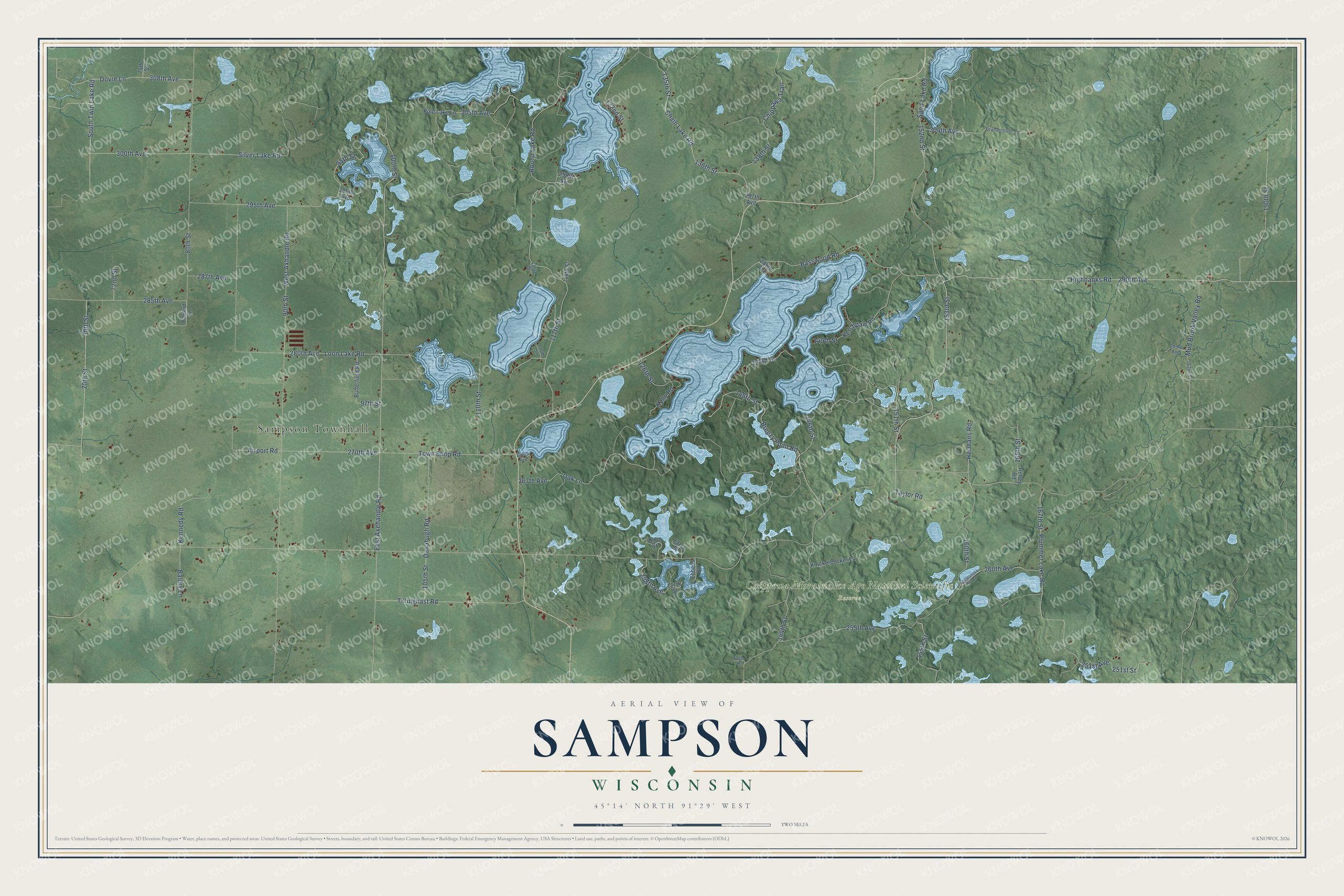
This beautifully detailed map of Sampson, Wisconsin was created in 2026 using aerial imagery combined with modern topographical, census, street and landmark data. It's a modern aerial view of Sampson in Chippewa County, Wisconsin, that combines modern data with a vintage aesthetic. The roads feature printed names, and if you look closely you can find your exact house accurately shown in its correct location.
Explore an aerial view of Sampson, Wisconsin
On this map you'll find Sampson Townhall, Chippewa Moraine Ice Age National Scientific Reserve, 153rd Street, 151th Street, Highbanks Road, 290th Avenue, Mud Brook Valley Road, 144th Street, 190th Street, 145th Street, Breezy Point Road, 160th Street, and more. Each red shape is a building, so zoom in on the preview and look for yours.
Sampson has a story worth telling. The Chippewa County Past and Present puts it this way: "The town of Sampson was created on November 17, 1898, being separated from the town of Bloomer. James Meier was appointed by the board of supervisors to call the first town meeting."
Sampson is a town in Chippewa County. The Census Bureau counted 972 people here in 2020.
Take a closer look at the Sampson map
Names on this map
These names are printed on this map.
Places: Sampson Townhall and Chippewa Moraine Ice Age National Scientific Reserve.
Streets and roads: 153rd Street, 151th Street, Highbanks Road, 290th Avenue, Mud Brook Valley Road, 144th Street, 190th Street, 145th Street, Breezy Point Road, 160th Street, Chain Lake Road, 285th Avenue.
More street names, A to Z
30th Street, 70th Street, 72nd Street, 75th Street, 80th Street, 90th Street, 95th Street, 97th Street, 100th Street, 105th Street, 110th Street, 115th Street, 116th Street, 117th Street, 118th Street, 122nd Street, 126th Street, 127th Street, 128th Street, 131st Street, 135th Street, 136th Street, 137th Street, 138th Street, 146th Street, 149th Street, 152nd Street, 155th Street, 165th Street, 167th Street, 182nd Street, 251st Avenue, 251st Street, 255th Avenue, 258th Avenue, 260th Avenue, 267th Avenue, 269th Avenue, 270th Avenue, 280th Avenue, 283rd Avenue, 287th Avenue, 289th Avenue, 295th Avenue, 296th Avenue, 297th Avenue, 298th Avenue, 300th Avenue, 304th Avenue, 305th Avenue, 308th Avenue, Airport Road, Baldry Lane, Barlrud Lane, Basswood Road, Brandstetter Lane, Butterfield Road, Chippawa Trail, Danahugh Road, Dovre Lane, Eagle Lane, East Axehandle Road, Ebbens Road, Hermans Road, Kelly Road, Kennedy Road, Ketchpaw Road, Knickerbocker Lane, Loon Lake Road, Oak Lane, Pine Lake Lane, Plummer Lake Road, Rattlesnake Hill Road, Robey Road, Round Lake Road, Sand Lake Road, Silver Lake Road, South Twin Lake Road, Taylor Road, Tillinghast Road, Town Shop Road, West Axhandle Road.
Created by KNOWOL in 2026. The buildings are small red shapes, the roads carry their printed names, and shaded relief shows the shape of the land. The title panel reads "AERIAL VIEW OF SAMPSON, WISCONSIN" with 45°14' NORTH 91°29' WEST.
It looks right in a kitchen, an office or a den, and it's a gift for anyone who grew up in Sampson or moved away. Open the preview and find your street. See sizes and frames for the Sampson map.