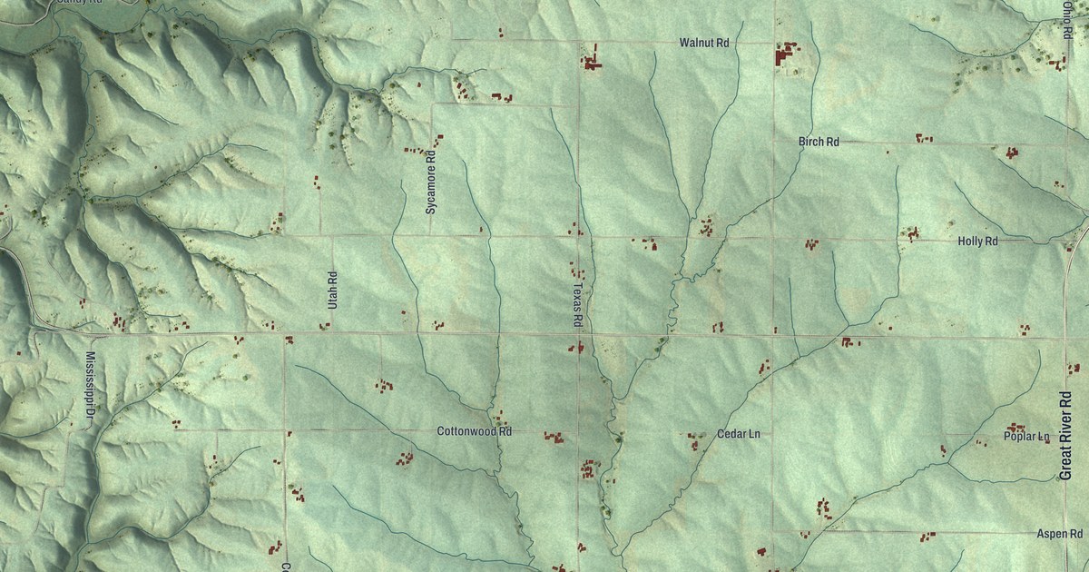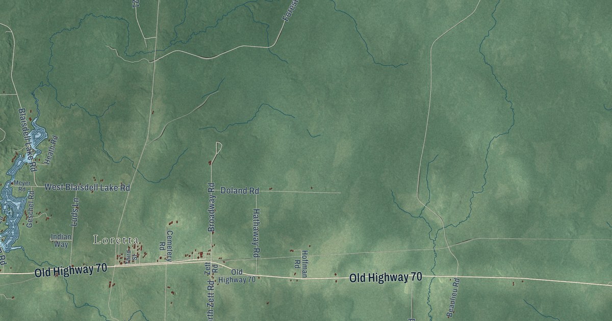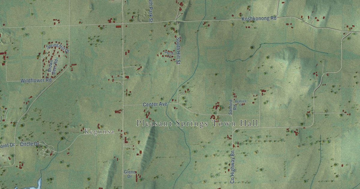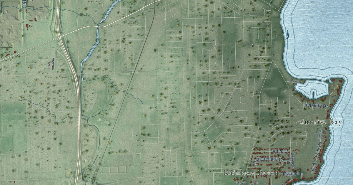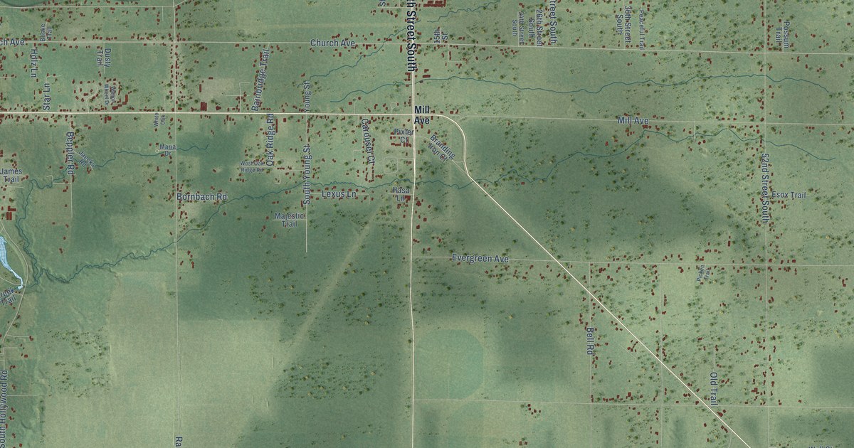
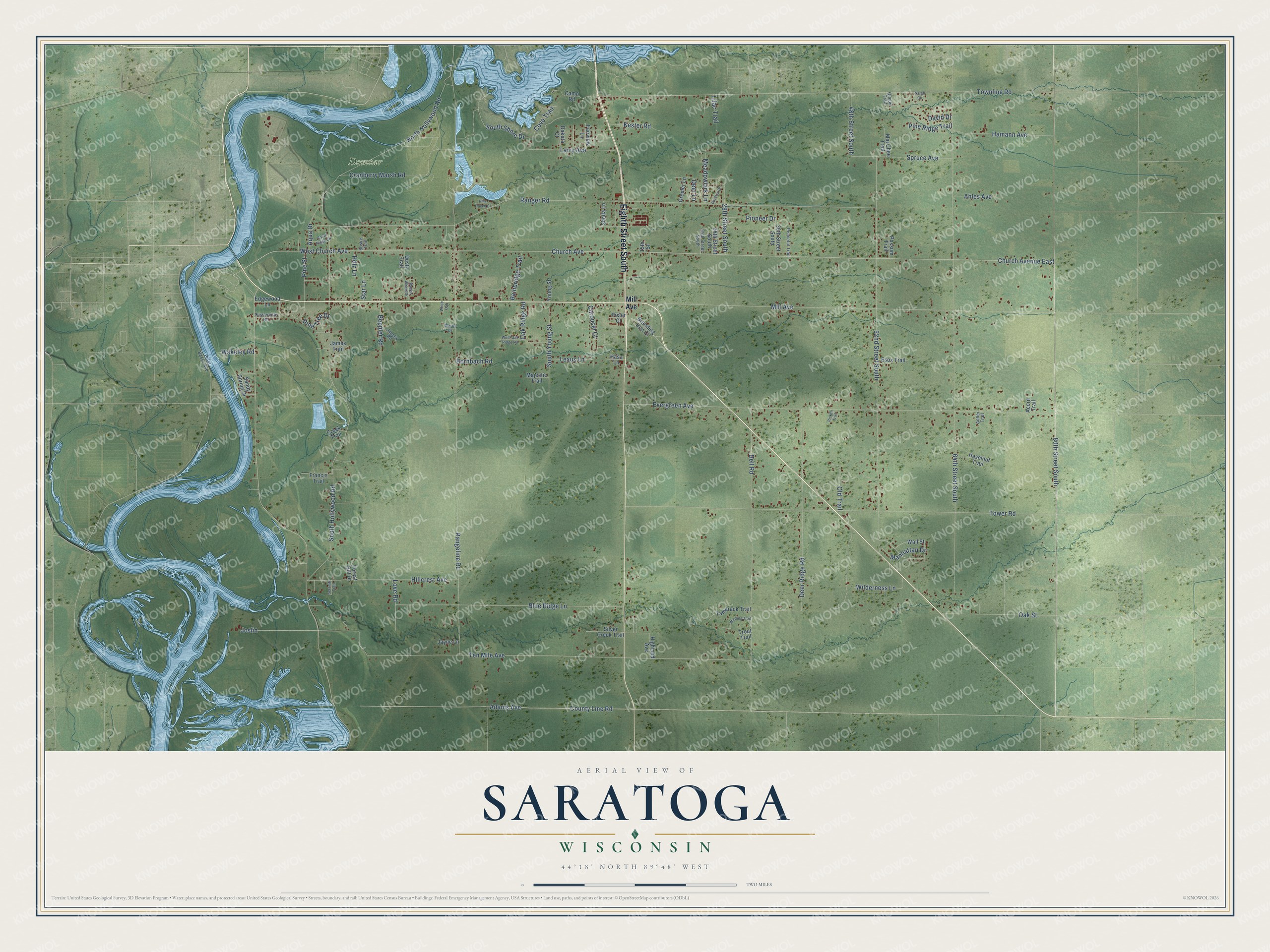
This beautifully detailed map of Saratoga, Wisconsin was created in 2026 using aerial imagery combined with modern topographical, census, street and landmark data. It's a modern aerial view of Saratoga in Wood County, Wisconsin, that combines modern data with a vintage aesthetic. The roads feature printed names, and if you look closely you can find your exact house accurately shown in its correct location.
Explore an aerial view of Saratoga, Wisconsin
On this map you'll find Domtar, Eighth Street South, 80th Street South, Townline Road, South Shore Drive, West Church Avenue, Mill Avenue, South Young Street, Church Avenue, Church Avenue East, Adams Avenue, Ranger Road, and more. Each red shape is a building, so zoom in on the preview and look for yours.
Saratoga is a town in Wood County. The Census Bureau counted 5,060 people here in 2020. The map prints the town name in its title panel, with the coordinates below it.
Take a closer look at the Saratoga map
Names on this map
These names are printed on this map.
Places: Domtar.
Streets and roads: Eighth Street South, 80th Street South, Townline Road, South Shore Drive, West Church Avenue, Mill Avenue, South Young Street, Church Avenue, Church Avenue East, Adams Avenue, Ranger Road, County Line Road.
More street names, A to Z
15th Street, 24th Street South, 26th Street South, 28th Street South, 36th Street South, 48th Street South, 52nd Street South, 64th Street South, Acorn Trail, Ahles Avenue, Antler Trail, Aqua Drive, Bainbridge Trail, Bell Road, Beppler Road, Bliske Trail, Blue Ridge Lane, Bornbach Road, Branding Iron Court, Camp Road, Carillon Drive, Carousel Court, Cove Trail, Cranberry Marsh Road, Creek Trail, Dakota Court, David Drive, Deer Lane, Deer Ridge Road, Dusty Trail, Edgewood Lane, Esox Trail, Evergreen Avenue, Fairview Lane, Forest Hill Drive, Francis Trail, Ginger Trail, Greeler Lane, Hamann Avenue, Hasa Lane, Hazelnut Trail, Highland Avenue, Hillcrest Avenue, Holz Lane, Jaecks Road, James Trail, Jayne Lane, Joslin, Kester Road, Larry Avenue, Lexus Lane, Lilac Trail, Love Road, Mai Chee Trail, Majestic Trail, Manhattan Drive, Maria Drive, Meadowlark Lane, North Hollywood Road, Oak Ridge Road, Oak Street, Old Trail, Peaceful Trail, Picken Trail, Pine Haven Court, Pine Ridge Trail, Pine Street, Pine Tree Drive, Pioneer Drive, Pixler Court, Point Basse Avenue, Possum Trail, Rangeline Road, Sandy Spring Drive, Sarah Circle, Serenity Trail, Sheila Lane, Silver Creek Trail, South Hollywood Road, South Ridge Circle, Spruce Avenue, Star Lane, Tamarack Trail, Ten Mile Avenue, Tesserville Road, Tower Road, Trout Trail, Wagon Wheel Drive, Wakeley Road, Wall Street, West Oak Ridge Road, White Oak, Wilderness Lane, Winding Trail, Young Street.
Created by KNOWOL in 2026. The buildings are small red shapes, the roads carry their printed names, and shaded relief shows the shape of the land. The title panel reads "AERIAL VIEW OF SARATOGA, WISCONSIN" with 44°18' NORTH 89°48' WEST.
Hang it in the hallway, the office or the cabin, or give it to someone who left Saratoga and still calls it home. Open the preview and look for a street you know. See sizes and frames for the Saratoga map.