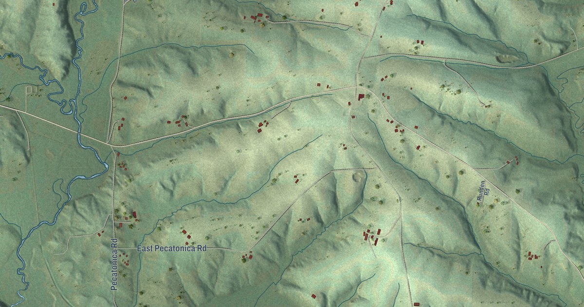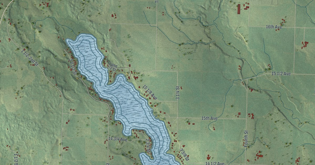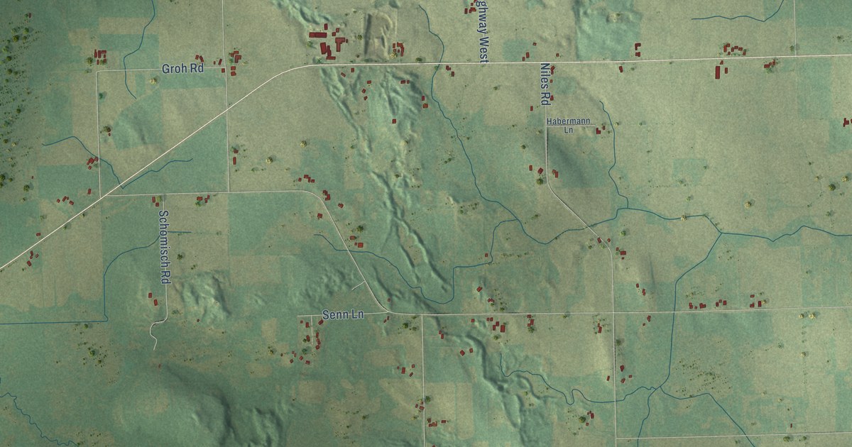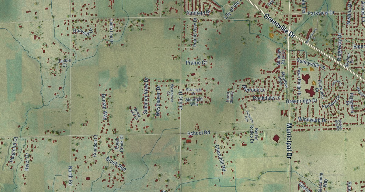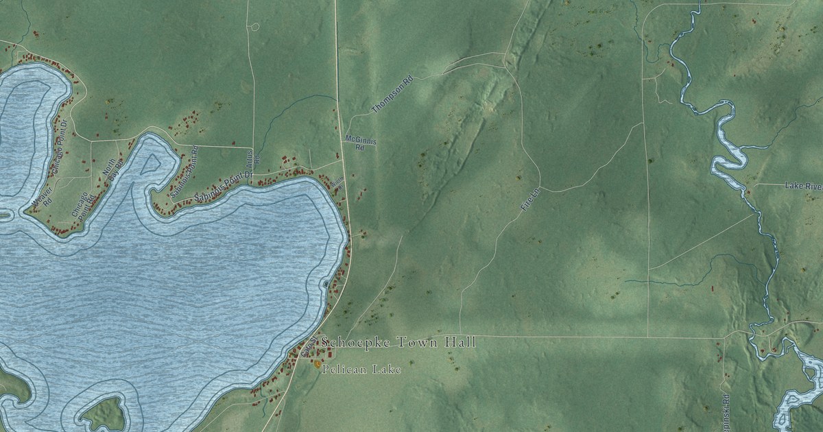
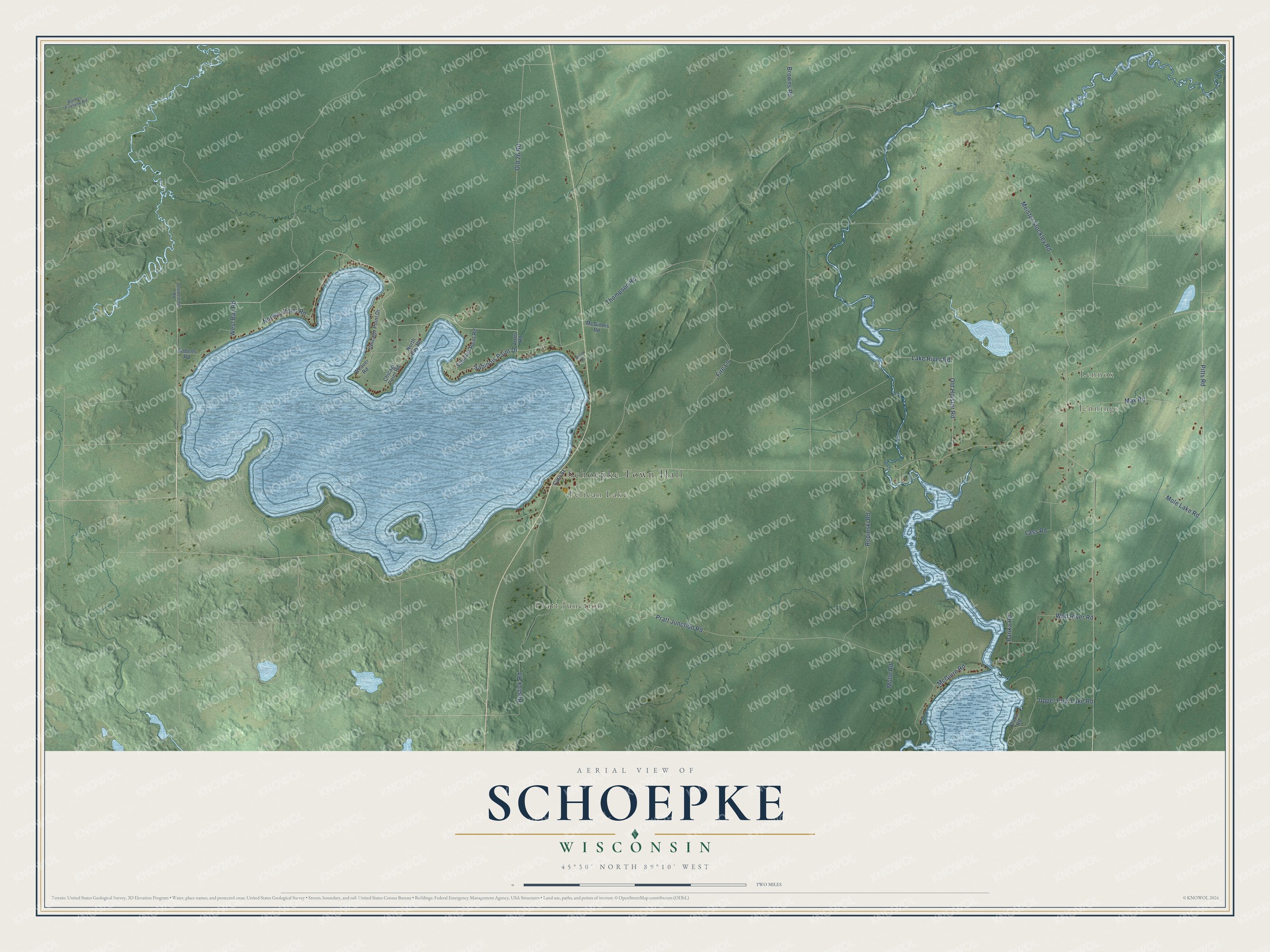
This beautifully detailed map of Schoepke, Wisconsin was created in 2026 using aerial imagery combined with modern topographical, census, street and landmark data. It's a modern aerial view of Schoepke in Oneida County, Wisconsin, that combines modern data with a vintage aesthetic. The roads feature printed names, and if you look closely you can find your exact house accurately shown in its correct location.
Explore an aerial view of Schoepke, Wisconsin
On this map you'll find Schoepke Town Hall, Lennox, Jennings, Pratt Junction, Pelican Lake, Old 26 Road, Sabinois Point Drive, Norway Point Road, Meister Stockley Road, Fire Lane, Pratt Junction Road, Pitts Road, and more. Each red shape is a building, so zoom in on the preview and look for yours.
Here is a piece of Schoepke history, in the words of the record. The Wisconsin Historical Society puts it this way: "The original 1898 Beach Hotel was a large three-story frame building, complete with a wraparound veranda on all four sides, gabled dormers and an open bell tower. It was the first resort built on Pelican Lake."
Schoepke is a town in Oneida County. The Census Bureau counted 388 people here in 2020.
Take a closer look at the Schoepke map
Names on this map
These names are printed on this map.
Places: Schoepke Town Hall, Lennox, Jennings, Pratt Junction and Pelican Lake.
Streets and roads: Old 26 Road, Sabinois Point Drive, Norway Point Road, Meister Stockley Road, Fire Lane, Pratt Junction Road, Pitts Road, Repinski Road, Lake River Road, Old Hoister Road, Rustick Road, Wolf River Road.
More street names, A to Z
Artus Road, Barnes Firelane Road, Browns Road, Cato Street, Chicago Point Drive, Chicago Point Road, Klima Road, Lass Road, Max Road, McGinnis Road, McGuire Road, Mole Lake Road, Molle Road, North Bay Road, Panka Road, Roberts Road, Sabinois Point Road, Schmeichel Road, Thompson Road, Upper Post Lake Road, Weaver Road, West Bay Road, Wieth Drive.
Created by KNOWOL in 2026. The buildings are small red shapes, the roads carry their printed names, and shaded relief shows the shape of the land. The title panel reads "AERIAL VIEW OF SCHOEPKE, WISCONSIN" with 45°30' NORTH 89°10' WEST.
It suits a den, a classroom or a front hall, and it makes a gift for anyone with Schoepke roots. Open the preview and find the block you know. See sizes and frames for the Schoepke map.