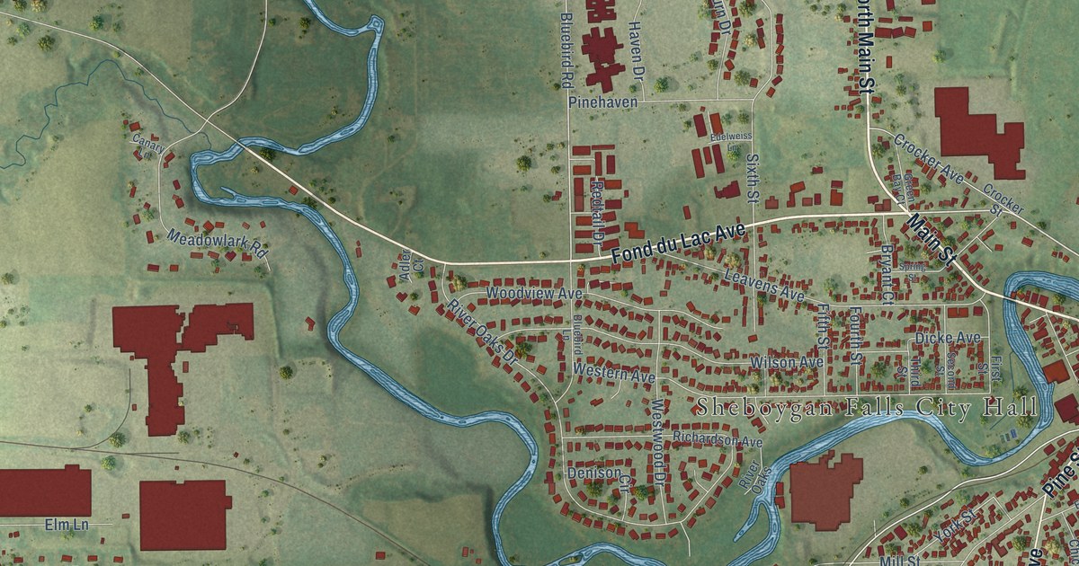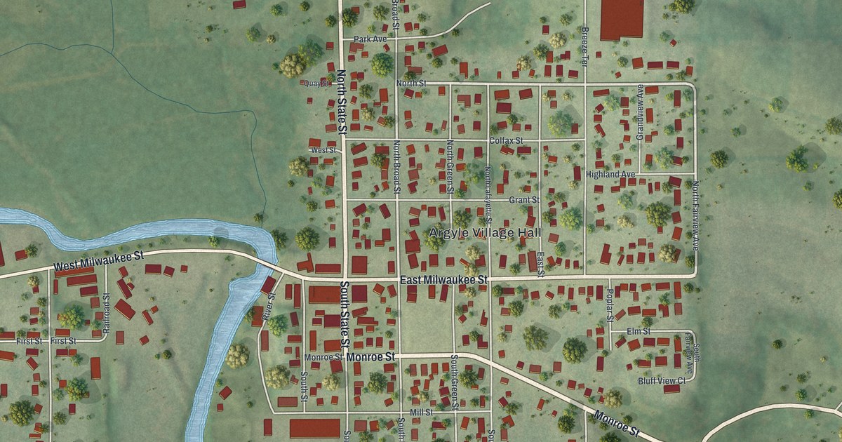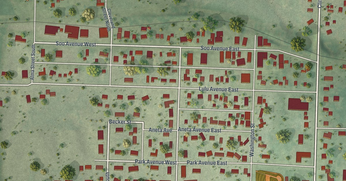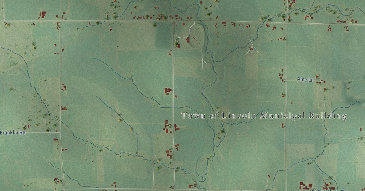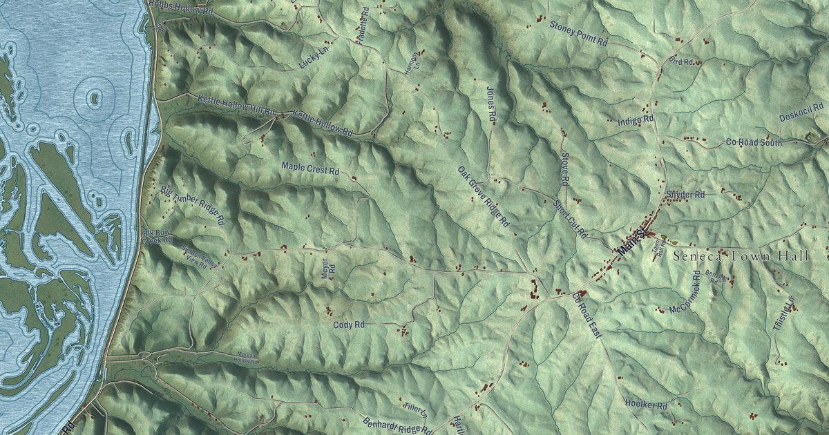
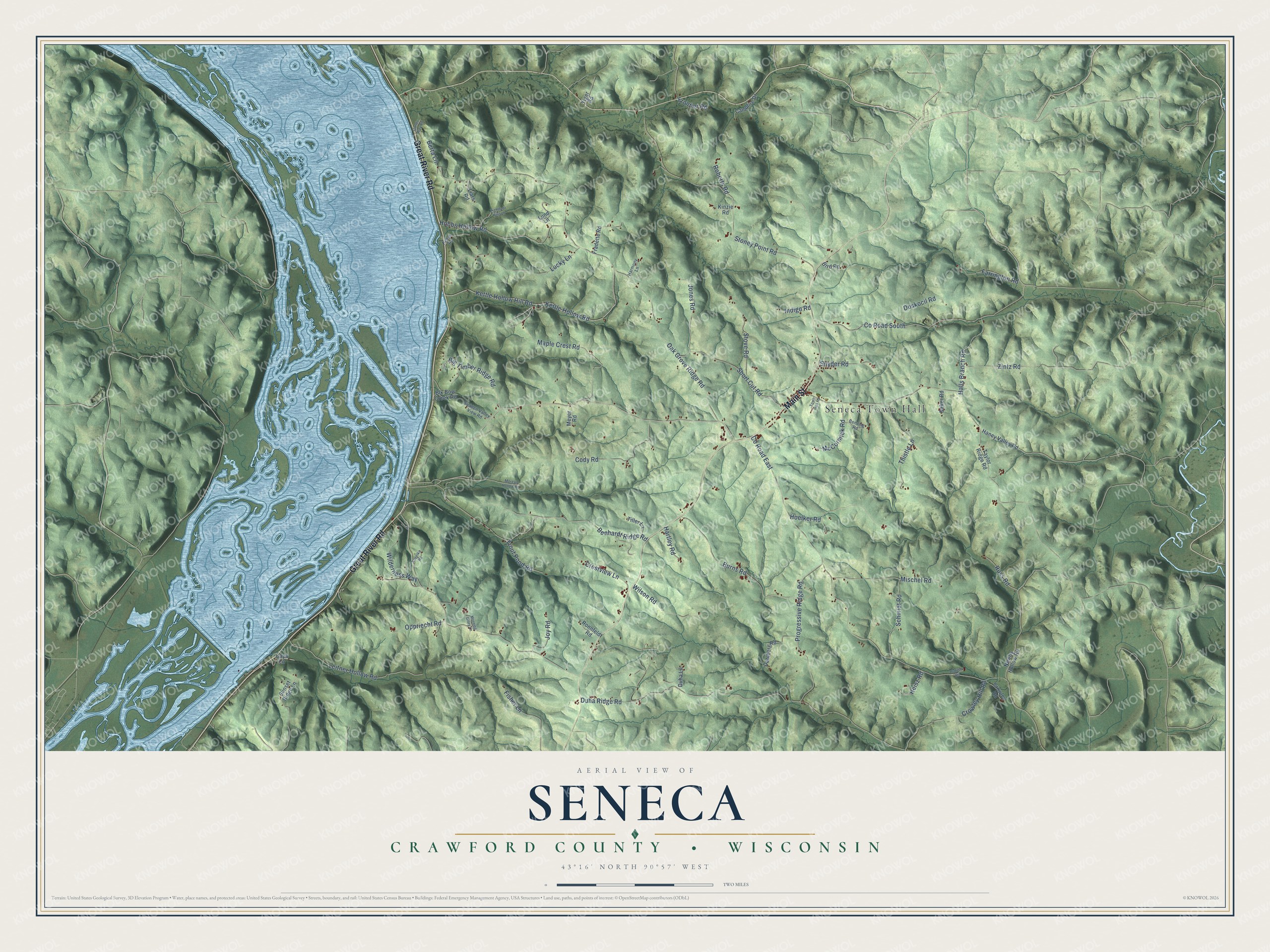
This beautifully detailed map of Seneca, Wisconsin was created in 2026 using aerial imagery combined with modern topographical, census, street and landmark data. It's a modern aerial view of Seneca in Crawford County, Wisconsin, that combines modern data with a vintage aesthetic. The roads feature printed names, and if you look closely you can find your exact house accurately shown in its correct location.
Explore an aerial view of Seneca, Wisconsin
On this map you'll find Seneca Town Hall, Main Street, Great River Road, Co Road East, Halls Branch Road, Oak Grove Ridge Road, Duha Ridge Road, Stoney Point Road, Co Road South, Kettle Hollow Hill Road, Kettle Hollow Road, Benhardt Ridge Road, and more. Each red shape is a building, so zoom in on the preview and look for yours.
Seneca has a story worth telling. The Crawford County History puts it this way: "The town of Seneca was organized April 7, 1857. Changes were made in its boundaries from time to time ; its present limits were fixed by the addition of Lynxville in 1868."
Seneca is a town in Crawford County. The Census Bureau counted 932 people here in 2020.
Take a closer look at the Seneca map
Names on this map
These names are printed on this map.
Places: Seneca Town Hall.
Streets and roads: Main Street, Great River Road, County Road East, Halls Branch Road, Oak Grove Ridge Road, Duha Ridge Road, Stoney Point Road, County Road South, Kettle Hollow Hill Road, Kettle Hollow Road, Benhardt Ridge Road, Progressive Ridge Road.
More street names, A to Z
Baker Road, Benzing Road, Berta Lane, Big Timber Ridge Road, Bird Road, Blk Bow Creek Road, Burns Road, Campfire Drive, Carter Way Road, Caya Lane, Cody Road, Crestview Lane, Crowley Hill Road, Crowley Road, Dahlberg Road, Doskocil Road, Duha Lane, Farrington Road, Fisher Lane, Fradette Road, Frontier Road, Haney Valley Road, Harmony Lane, Hartley Road, Heisz Road, Hobbs Hollow Road, Hoelker Road, Indigo Road, Jones Road, Joy Road, Kinzie Road, Kozelka Road, Leitner Hollow Road, Liars Road, Lightfoot Hills Lane, Lucky Lane, Lund Lane, Maple Crest Road, McCormick Road, Meyer Road, Mischel Road, Morgan Hollow Road, Morning Glory Lane, Newby Hollow Road, Oppriecht Road, Pease Road, Platten Road, Roberts Road, Ronnfeldt Road, Russ Road, Schmidt Road, Short Cut Road, Snyder Road, Stove Road, Sudden Valley View Road, Sunset Ridge Lane, Taylor Ridge Road, Thistle Lane, Tiger Road, Tiller Lane, Town Hall Road, Trout Pond Road, Wilderness Way, Wilson Road, Zintz Road.
Created by KNOWOL in 2026. The buildings are small red shapes, the roads carry their printed names, and shaded relief shows the shape of the land. The title panel reads "AERIAL VIEW OF SENECA, CRAWFORD COUNTY • WISCONSIN" with 43°16' NORTH 90°57' WEST.
It looks right in a kitchen, an office or a den, and it's a gift for anyone who grew up in Seneca or moved away. Open the preview and find your street. See sizes and frames for the Seneca, Crawford County map.