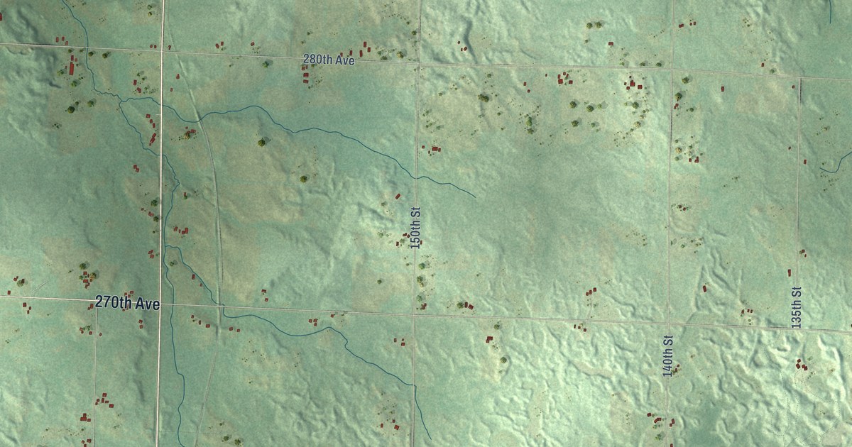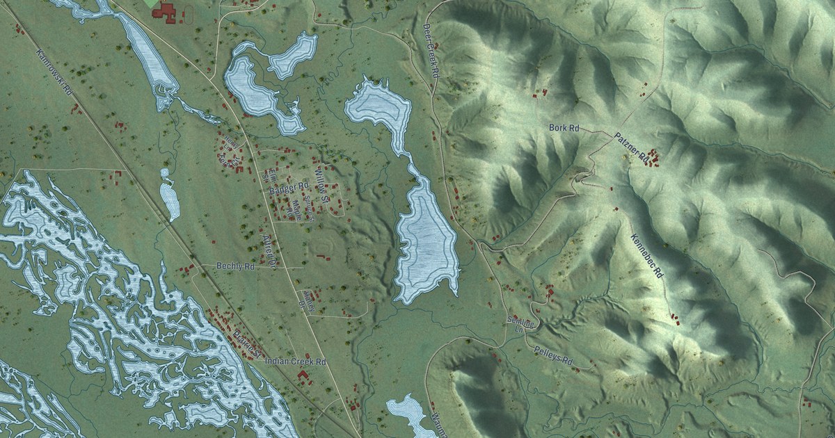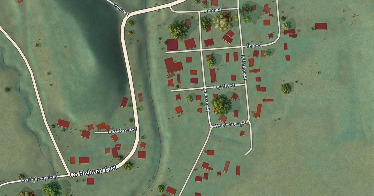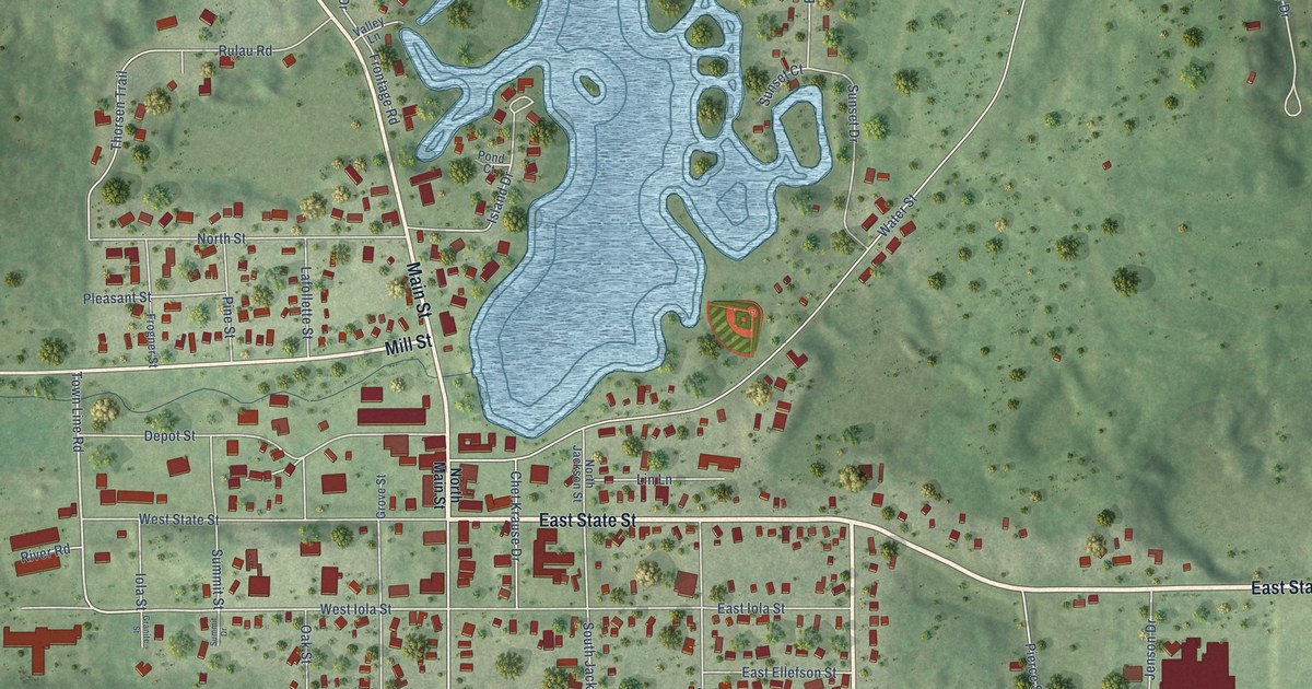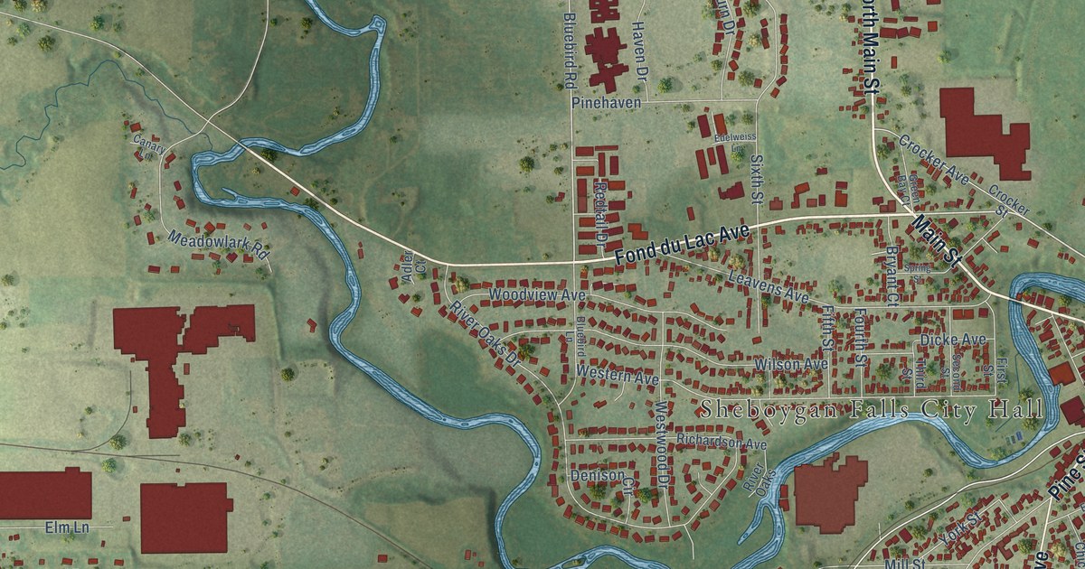
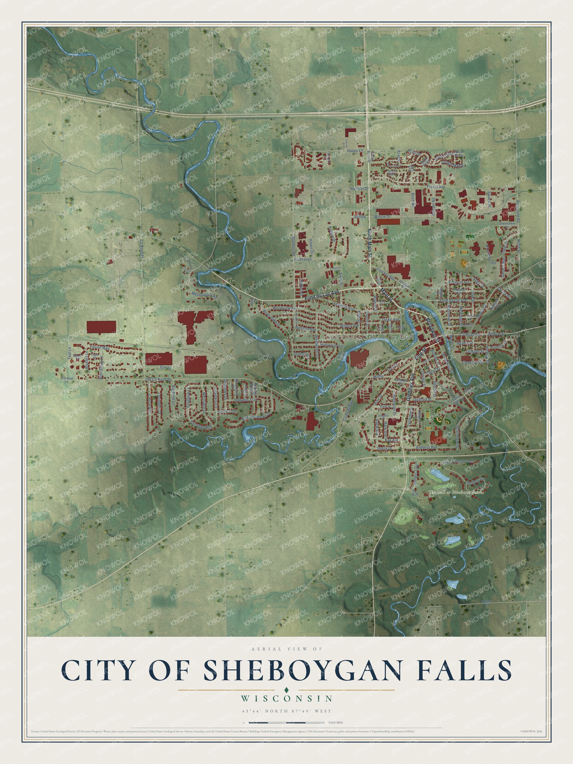
This beautifully detailed map of Sheboygan Falls, Wisconsin was created in 2026 using aerial imagery combined with modern topographical, census, street and landmark data. It's a modern aerial view of Sheboygan Falls in Sheboygan County, Wisconsin, that combines modern data with a vintage aesthetic. The roads feature printed names, and if you look closely you can find your exact house accurately shown in its correct location.
Explore an aerial view of Sheboygan Falls, Wisconsin
On this map you'll find Sheboygan Falls City Hall, The Bull at Pinehurst Farms, Fond du Lac Avenue, Main Street, Broadway Street, North Main Street, Pine Street, Giddings Avenue, North Street, Bluebird Road, Co Road Pp, Foxglove Lane, and more. Each red shape is a building, so zoom in on the preview and look for yours.
Sheboygan Falls has a story worth telling. The History of Sheboygan County puts it this way: "At Sheboygan Falls, where a sawmill and three houses had been built, were Colonel Silas B. Stedman, C. D. Cole, David Giddings, a shoemaker named McNish, and a Mr. Palmer."
Sheboygan Falls is a city in Sheboygan County. The Census Bureau counted 8,210 people here in 2020.
Take a closer look at the Sheboygan Falls map
Names on this map
These names are printed on this map.
Places: Sheboygan Falls City Hall and The Bull at Pinehurst Farms.
Streets and roads: Fond du Lac Avenue, Main Street, Broadway Street, North Main Street, Pine Street, Giddings Avenue, North Street, Bluebird Road, County Road Pp, Foxglove Lane, Monroe Street, Teal Lane.
More street names, A to Z
Acacia, Adams Street, Adler Court, Alfred Miley Avenue, Amherst Avenue, Ashland Court, Aspen Grove, Auburn Drive, Balsam Road, Big Bend Lane, Birch Road, Bluebill Lane, Bluebird Lane, Bryant Court, Buffalo Street, Canary Lane, Cedar Street, Cherry Street, Chicago Street, Chippewa Drive, Cleveland Street, Columbine Lane, Concord Drive, County Road Ppp, County Road Tt, Covington Drive, Crane Court, Crocker Avenue, Crocker Street, Dartmouth Drive, David Avenue, Denison Circle, Detroit Street, Dewey Street, Dicke Avenue, Edelweiss Lane, Elm Lane, Elm Street, Evans Court, Fairview Drive, Fairway Meadows Lane, Falcon Way, Fallen Oaks Lane, Fifth Street, First Street, Forest Avenue, Forest Boulevard, Fourth Street, Golden Oak, Green Acres Drive, Green Bay Court, Greenview Drive, Gregory Place, Guilford Street, Hamann Drive, Happy Lane, Haven Drive, Hickory Street, Highland Avenue, Huron Trail, Iroquois Trail, Jackson Street, Jefferson Street, Kay Avenue, Koene Court, Leavens Avenue, Lexington Court, Lone Elm, Long Drive, Lynwood Drive, Madison Street, Mallard Avenue, Mark Avenue, Meadow Lane, Meadowlark Road, Meadow Ridge Drive, Menominee Drive, Michigan Street, Mill Street, Oak Street, Old County Road Pp, Park Street, Partridge Run, Pinehaven, Poplar Street, Prospect Avenue, Rangeline Road, Redtail Drive, Redwood, Richardson Avenue, Richmond Avenue, Riverhills Drive, River Meadows Drive, River Oaks, River Oaks Drive, Rochester Drive, Sarah's Way, Second Street, Settlers Circle, Settlers Trail, Shelly Drive, Sixth Street, South Cypress, Spring Street, Spruce Street, Stardust Lane, State Street, Summer Street, Sunset Maple, Third Street, Tower Drive, Water Street, Western Avenue, Westridge Drive, Westwood Drive, White Birch, Wild Goose Lane, Willow, Willow Drive, Wilson Avenue, Wisconsin Street, Woodview Avenue, York Street.
Created by KNOWOL in 2026. The buildings are small red shapes, the roads carry their printed names, and shaded relief shows the shape of the land. The title panel reads "AERIAL VIEW OF CITY OF SHEBOYGAN FALLS, WISCONSIN" with 43°44' NORTH 87°49' WEST.
It looks right in a kitchen, an office or a den, and it's a gift for anyone who grew up in Sheboygan Falls or moved away. Open the preview and find your street. See sizes and frames for the Sheboygan Falls map.