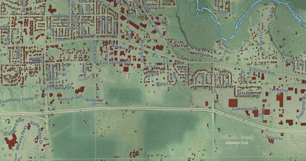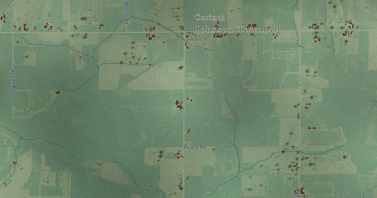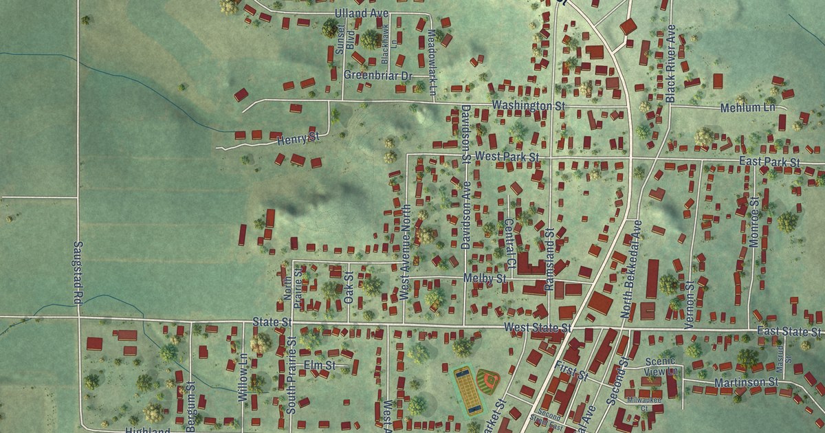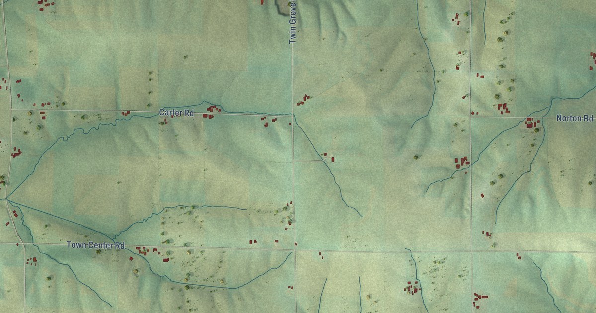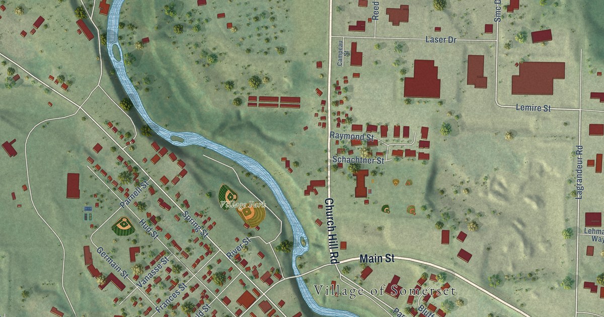
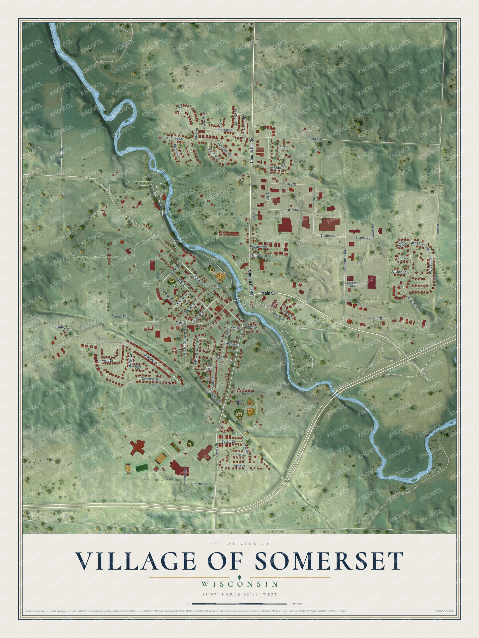
This beautifully detailed map of Somerset, Wisconsin was created in 2026 using aerial imagery combined with modern topographical, census, street and landmark data. It's a modern aerial view of Somerset in St. Croix County, Wisconsin, that combines modern data with a vintage aesthetic. The roads feature printed names, and if you look closely you can find your exact house accurately shown in its correct location.
Explore an aerial view of Somerset, Wisconsin
On this map you'll find Village of Somerset, Somerset Ampitheater, Village Park, Main Street, Church Hill Road, Lagrandeur Road, Lemire Street, Parent Street, Smc Drive, Sunrise Drive, Meadow Lane, Jack Pine Trail, and more. Each red shape is a building, so zoom in on the preview and look for yours.
Somerset has a story worth telling. The W. H. C. Folsom puts it this way: "The town of Somerset was organized Sept. 19, 1856, with Thomas J. Chappell as chairman of supervisors."
Somerset is a village in St. Croix County. The Census Bureau counted 3,019 people here in 2020.
Take a closer look at the Somerset map
Names on this map
These names are printed on this map.
Places: Village of Somerset, Somerset Ampitheater and Village Park.
Streets and roads: Main Street, Church Hill Road, Lagrandeur Road, Lemire Street, Parent Street, Smc Drive, Sunrise Drive, Meadow Lane, Jack Pine Trail, Spring Street, Evergreen Drive, Somerset Lane.
More street names, A to Z
60th Street, 80th Street, 180th Avenue, 190th Avenue, Abby Lane, Acorn Lane, Arnold Street, Aspen Drive, Balsam Drive, Belisle Street, Blue Spruce Lane, Bluff Drive, Campeau Street, Cedar Street, Charles Lane, Chateau Court, Chris Street, Cloutier Drive, Dale Street, Depot Road, Depot Street, Elm Street, First Street, Forrest Drive, Frances Street, Garfield Street, Germain Street, Harriman Street, Hud Street, Jack Pine Court, Juniper Drive, Kohler Drive, Laser Drive, Lehmann Way, Lemire Road, Liberty Circle, Lyn Lane, Mackenzie Street, Maple Street, Marcella Lane, Marlon's Court, Martell Street, Martin Way, Oak Street, Paquin Drive, Parnell Street, Pine Circle, Plourde Drive, Plum Tree Lane, Raymond Street, Red Pine Drive, Reed Street, Rivard Street, River Street, Rose Court, Sarah Lane, Schachtner Street, School Road, Shay Street, Timberlane Drive, Tower Road, Vanasse Street, Willow Street.
Created by KNOWOL in 2026. The buildings are small red shapes, the roads carry their printed names, and shaded relief shows the shape of the land. The title panel reads "AERIAL VIEW OF VILLAGE OF SOMERSET, WISCONSIN" with 45°07' NORTH 92°40' WEST.
It looks right in a kitchen, an office or a den, and it's a gift for anyone who grew up in Somerset or moved away. Open the preview and find your street. See sizes and frames for the Somerset map.