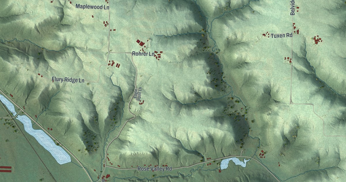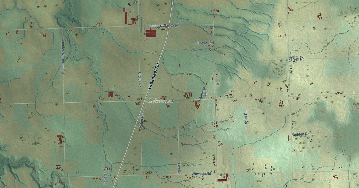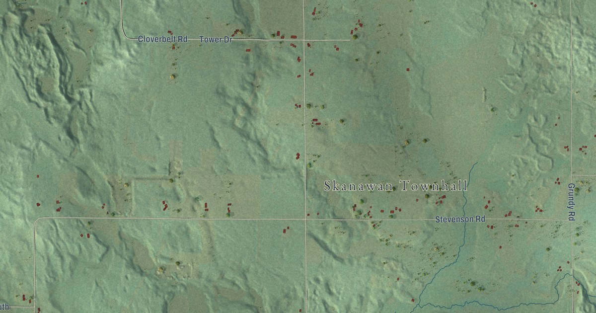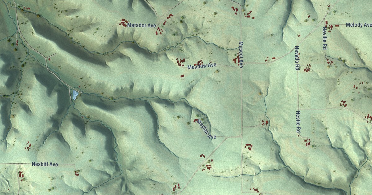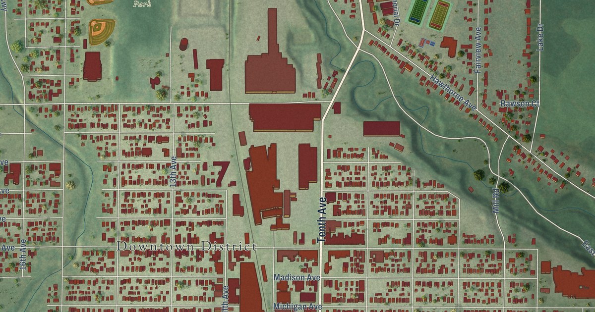
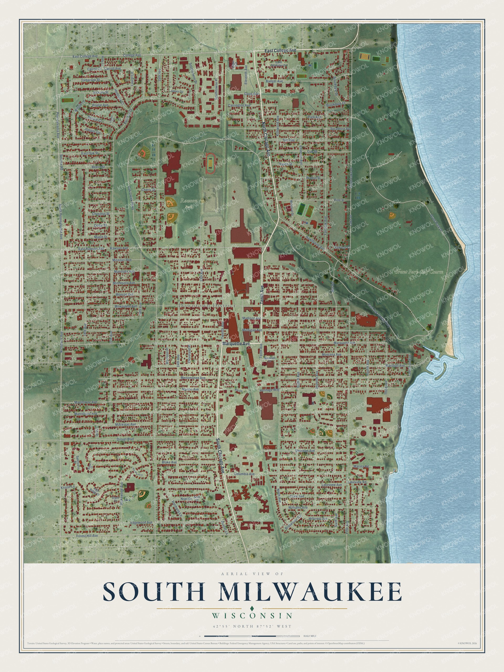
This beautifully detailed map of South Milwaukee, Wisconsin was created in 2026 using aerial imagery combined with modern topographical, census, street and landmark data. It's a modern aerial view of South Milwaukee in Milwaukee County, Wisconsin, that combines modern data with a vintage aesthetic. The roads feature printed names, and if you look closely you can find your exact house accurately shown in its correct location.
Explore an aerial view of South Milwaukee, Wisconsin
On this map you'll find Downtown District, Rawson Park, Grant Park Golf Course, North Chicago Avenue, South Chicago Avenue, Tenth Avenue, Marquette Avenue, East College Avenue, Forest Hill Avenue, Nicholson Avenue, College Avenue, Menomonee Avenue, and more. Each red shape is a building, so zoom in on the preview and look for yours.
Here is a piece of South Milwaukee history, in the words of the record. The Milwaukee County History puts it this way: "Mr. Ohm is likewise active in connection with the public life of South Milwaukee. He was elected the last president of the village before it was incorporated as a city in 1896."
South Milwaukee is a city in Milwaukee County. The Census Bureau counted 20,795 people here in 2020.
Take a closer look at the South Milwaukee map
Names on this map
These names are printed on this map.
Places: Downtown District, Rawson Park and Grant Park Golf Course.
Streets and roads: North Chicago Avenue, South Chicago Avenue, Tenth Avenue, Marquette Avenue, East College Avenue, Forest Hill Avenue, Nicholson Avenue, College Avenue, Menomonee Avenue, East Oak Creek Parkway, Twelfth Avenue, Oak Creek Parkway.
More street names, A to Z
13th Avenue, 14th Avenue, 15th Avenue, 16th Avenue, 17th Avenue, 17th Place, 18th Avenue, Aspen Street, Badger Avenue, Beech Street, Blake Avenue, Blake Court, Blakewood Avenue, Blakewood Court, Brookdale Court, Brookdale Drive, Brooklawn Circle, Carrington Avenue, Carroll Avenue, Carroll Court, Cedar Street, Cherry Street, Chestnut Street, Clark Avenue, Clark Court, Cleveland Place, Columbia Avenue, Davis Avenue, Drexel Boulevard, East Oak Street, East Rawson Avenue, Edgar Avenue, Edgewood Avenue, Eighth Avenue, Eleventh Avenue, Elm Avenue, Emerson Avenue, Fairview Avenue, Fifth Avenue, Fourth Avenue, Grant Park Drive, Harmony Lane, Harrison Place, Hawthorne Avenue, Hemlock Court, Heritage Way, Hickory Street, High Ridge Court, Hillcrest Avenue, Holly Lane, James Circle, Juniper Circle, Kirkwood Avenue, Kristin Lane, Lake Drive, Lake Shore Boulevard, Lakeview Avenue, Lakeview Road, Laurel Lane, Linden Circle, Mackinac Avenue, Madison Avenue, Manistique Avenue, Manitoba Avenue, Manitowoc Avenue, Maple Street, Marina Road, Marion, Marion Avenue, Marshall Avenue, Marshall Court, Memorial Drive, Michigan Avenue, Mill Road, Milwaukee Avenue, Minnesota Avenue, Missouri Avenue, Monroe Avenue, Montana Avenue, Ninth Avenue, Noel Court, Noel Drive, Oak Street, Park Avenue, Parkway Drive, Pennsylvania Avenue, Pine Street, Poplar Avenue, Rawson Avenue, Rawson Court, Russet Lane, Saint Sylvester Drive, Sanctuary Drive, Service Road, Seventh Avenue, Sherman Avenue, Sixth Avenue, South Lake Drive, South Pennsylvania Avenue, Southtowne Drive, Southtowne Place, Spruce Court, Sycamore Avenue, Tamarack Street, Third Avenue, Walnut Street, Williams Avenue, Willow Lane.
Created by KNOWOL in 2026. The buildings are small red shapes, the roads carry their printed names, and shaded relief shows the shape of the land. The title panel reads "AERIAL VIEW OF SOUTH MILWAUKEE, WISCONSIN" with 42°55' NORTH 87°52' WEST.
It suits a den, a classroom or a front hall, and it makes a gift for anyone with South Milwaukee roots. Open the preview and find the block you know. See sizes and frames for the South Milwaukee map.